Download Agreement, Release, and Acknowledgement of Risk:
You (the person requesting this file download) fully understand mountain climbing ("Activity") involves risks and dangers of serious bodily injury, including permanent disability, paralysis, and death ("Risks") and you fully accept and assume all such risks and all responsibility for losses, costs, and damages you incur as a result of your participation in this Activity.
You acknowledge that information in the file you have chosen to download may not be accurate and may contain errors. You agree to assume all risks when using this information and agree to release and discharge 14ers.com, 14ers Inc. and the author(s) of such information (collectively, the "Released Parties").
You hereby discharge the Released Parties from all damages, actions, claims and liabilities of any nature, specifically including, but not limited to, damages, actions, claims and liabilities arising from or related to the negligence of the Released Parties. You further agree to indemnify, hold harmless and defend 14ers.com, 14ers Inc. and each of the other Released Parties from and against any loss, damage, liability and expense, including costs and attorney fees, incurred by 14ers.com, 14ers Inc. or any of the other Released Parties as a result of you using information provided on the 14ers.com or 14ers Inc. websites.
You have read this agreement, fully understand its terms and intend it to be a complete and unconditional release of all liability to the greatest extent allowed by law and agree that if any portion of this agreement is held to be invalid the balance, notwithstanding, shall continue in full force and effect.
By clicking "OK" you agree to these terms. If you DO NOT agree, click "Cancel"...
| Pigeon Peak and Turret Peak |
* ~29 miles RT
* ~29 hours
* ~10,600 vertical feet climbed for Andy (CincyBearcats on 14ers.com) and I. ~8000' for Sarah
This is a brief report but my Picasa photo album has good captions that tell the whole story in more detail if you're interested in more details or want to see what the conditions look like in the area right now.
Friday morning Sarah took the 9:00am train from Durango to Needleton while Andy and I drove to the Purgatory TH and ran the 9 miles from the TH to the Needleton Bridge in just over 2 hours just in time to arrive there before Sarah's train.
During the run in, we noted the extreme lack of snow up high where we planned to go (N. Pigeon Creek basin) and decided to setup camp near the Needleton bridge train stop instead of taking skis up into the basin as was our original plan.
Then I suggested that since we had a nearly full moon coming up we might as well head up to climb the peaks that afternoon and come back under the moonlight. So that was our new plan. However, the 9 miles we had just run was the longest single-run distance Andy had ever run so heading up another 8,000 vertical feet (calculated from my Suunto altimeter) and 9 more miles RT to climb Pigeon and Turret, and return to camp, would be really tough on him. But he was game and Sarah was excited too.
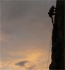
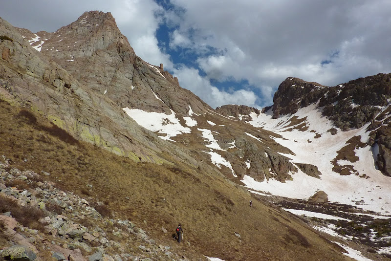
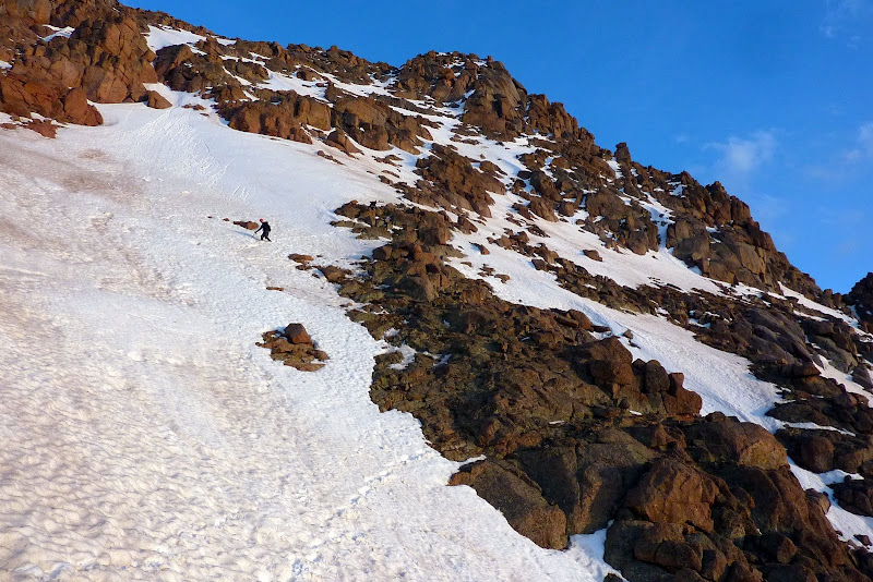
We climbed up the brutally steep Ruby Basin trail to the N. Pigeon "trail" up into the basin and reached the summit of Pigeon around 7:00pm. We didn't need crampons in the late-day-soft snow and didn't take exactly the "standard" route up Pigeon. We just made it up as we went following snow where we could.
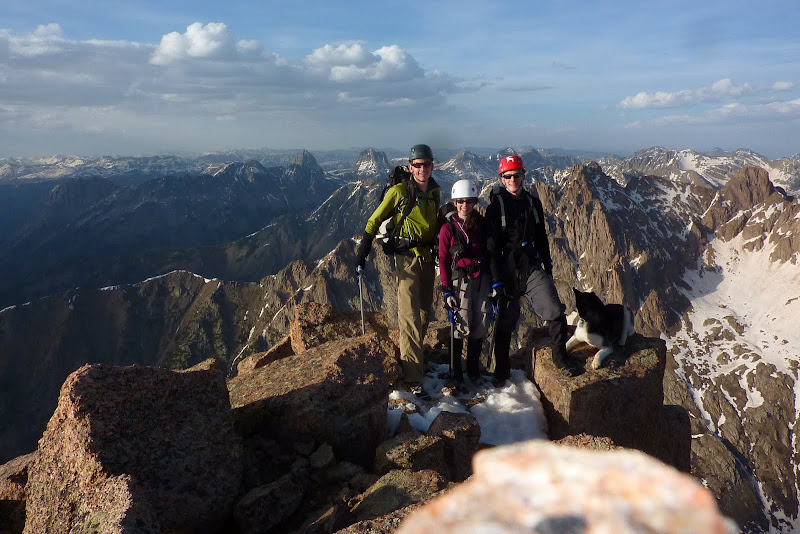
On the summit of Pigeon Peak with the Grenadiers in the background.
After we descended back to 12,500' we discussed the option. None of us had any desire to come back up that "trail" below, the temps were nice and the weather stable so we decided to head on over to Turret at 8:30pm.

Picture #3 - Sunset
As we traversed over to Turret the moon rose giving us all a boost of energy and we reached the summit of Turret just after 11:00pm. It was quite windy in the saddle between Pigeon and Turret but otherwise a gorgeous night. The east face of Pigeon looked extremely dramatic and almost fake in the moonlight.
The brutally steep terrain and lack of real trails for a majority of the hike had slowed us all down quite a bit. We hiked all through the night getting back to camp at 4:15am. (Having a single, crucial GPS waypoint for the no-trail bushwack back down N. Pigeon Creek drainage was key.) We slept four hours and when we woke our legs were feeling well used already so we opted to high-tail it home. Sarah took the 11:30am train to Silverton with our packs and Andy and I ran the 9 miles out in 2:40, drove to Silverton, got Sarah, got ice cream in Silverton, had dinner in Durango and got home to Los Alamos at 10:30pm Saturday night. Good times for sure. It was fun to climb these peaks outside of normal convention given the stable weather, nearly-full moon, enthusiastic and competent partners and lack of snow on these peaks for this time of year. These were new high 13er summits for all of us.
|
Caution: The information contained in this report may not be accurate and should not be the only resource used in preparation for your climb. Failure to have the necessary experience, physical conditioning, supplies or equipment can result in injury or death. 14ers.com and the author(s) of this report provide no warranties, either express or implied, that the information provided is accurate or reliable. By using the information provided, you agree to indemnify and hold harmless 14ers.com and the report author(s) with respect to any claims and demands against them, including any attorney fees and expenses. Please read the 14ers.com Safety and Disclaimer pages for more information.
Please respect private property: 14ers.com supports the rights of private landowners to determine how and by whom their land will be used. In Colorado, it is your responsibility to determine if land is private and to obtain the appropriate permission before entering the property.