Download Agreement, Release, and Acknowledgement of Risk:
You (the person requesting this file download) fully understand mountain climbing ("Activity") involves risks and dangers of serious bodily injury, including permanent disability, paralysis, and death ("Risks") and you fully accept and assume all such risks and all responsibility for losses, costs, and damages you incur as a result of your participation in this Activity.
You acknowledge that information in the file you have chosen to download may not be accurate and may contain errors. You agree to assume all risks when using this information and agree to release and discharge 14ers.com, 14ers Inc. and the author(s) of such information (collectively, the "Released Parties").
You hereby discharge the Released Parties from all damages, actions, claims and liabilities of any nature, specifically including, but not limited to, damages, actions, claims and liabilities arising from or related to the negligence of the Released Parties. You further agree to indemnify, hold harmless and defend 14ers.com, 14ers Inc. and each of the other Released Parties from and against any loss, damage, liability and expense, including costs and attorney fees, incurred by 14ers.com, 14ers Inc. or any of the other Released Parties as a result of you using information provided on the 14ers.com or 14ers Inc. websites.
You have read this agreement, fully understand its terms and intend it to be a complete and unconditional release of all liability to the greatest extent allowed by law and agree that if any portion of this agreement is held to be invalid the balance, notwithstanding, shall continue in full force and effect.
By clicking "OK" you agree to these terms. If you DO NOT agree, click "Cancel"...
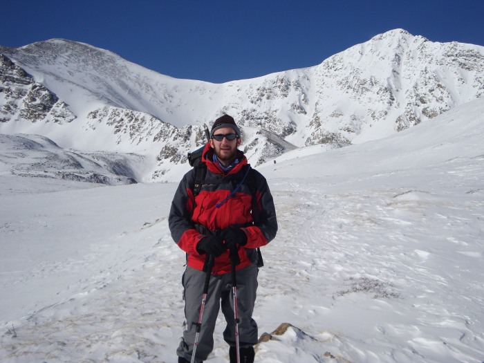
This is my first attempt at a TR, but given the early spring (late winter)conditions I thought it would be helpful to post some recent info. My apologies in advance for the lack of drama/excitement common to the most entertaining TR's.
The road to the summer trailhead is pretty packed by recent vehicle and foot traffic, that in combination with the lower snowfall totals this year enabled us to take our stock 4Runner about 1mile up the road. We tried tire chains, but these proved mostly unhelpful as we began sinking too deep at the 1mile mark. This left us with about 2miles of hiking on the remaining stretch of road to arrive at the summer trail head which took just over an hour. This section does not require snowshoes or crampons. Less than a quarter mile from where we parked there are two large ice flows across the road, that I assume are from melt water that is refreezing over night. Needless to say, if your vehicle can make it past the one mile mark, you would run into serious issues here.
Once past the summer trail head, the snow is mostly wind slabs over sugar. The wind slabs will support your weight without floation in most places, but there will be isolated incidents of post-holeing. Again, traction is not necessary, but helpful.
The goal of the trip was to climb Torreys via Kelso Ridge, descend the standard route to the Grays/Torreys saddle, then cut over below the Grays summit to the standard Grays trail (see Route Description on the Grays/Torreys combination for detailed descent info). I was worried that the slope between Grays and Torreys that we would want to traverse would have the highest avalanche danger of the entire route, but most of this slope beneath the peak of Grays is wind scoured to the ground. There is an overhanging cornice at the lowest point of the saddle that should be avoided, but this is easily done by climing up towards Grays peak a little more than would be necessary in the summer.
Grays peak on left, Torreys on right, Tommie in center (note the cornice and the wind scoured slope below Grays
We did not realize our goal as my IT band knee pain flaired up at about 12,000ft (so much for 2 months of physical therapy). I also apologize for not getting a decent picture of Kelso Ridge, we never made it far enough along the trail to get a good shot.
For what its worth, here is a shot of Kelso Mountain
Thanks for reading, hope it is helpful.
Thumbnails for uploaded photos (click to open slideshow):
Hi -- Just wanted you to know that those were the same conditions we found over on Rosalie (summitted yesterday). Wind slabs over sugar snow - not a good combination if the slopes are steep. As it was, we had low angle (near or below 30%) on Rosalie so sliding was not an issue. Interesting to note that I did break off a couple of smaller slabs that would have been a nice slide if the slope would have been steep. As you saw and we encountered, most of the upper slopes near the summit were clear of snow.
Thanks for posting the information you did. It can be used by others so don‘t worry that the report is ”short.” It is a good, recent update!
Caution: The information contained in this report may not be accurate and should not be the only resource used in preparation for your climb. Failure to have the necessary experience, physical conditioning, supplies or equipment can result in injury or death. 14ers.com and the author(s) of this report provide no warranties, either express or implied, that the information provided is accurate or reliable. By using the information provided, you agree to indemnify and hold harmless 14ers.com and the report author(s) with respect to any claims and demands against them, including any attorney fees and expenses. Please read the 14ers.com Safety and Disclaimer pages for more information.
Please respect private property: 14ers.com supports the rights of private landowners to determine how and by whom their land will be used. In Colorado, it is your responsibility to determine if land is private and to obtain the appropriate permission before entering the property.

")
")


