Download Agreement, Release, and Acknowledgement of Risk:
You (the person requesting this file download) fully understand mountain climbing ("Activity") involves risks and dangers of serious bodily injury, including permanent disability, paralysis, and death ("Risks") and you fully accept and assume all such risks and all responsibility for losses, costs, and damages you incur as a result of your participation in this Activity.
You acknowledge that information in the file you have chosen to download may not be accurate and may contain errors. You agree to assume all risks when using this information and agree to release and discharge 14ers.com, 14ers Inc. and the author(s) of such information (collectively, the "Released Parties").
You hereby discharge the Released Parties from all damages, actions, claims and liabilities of any nature, specifically including, but not limited to, damages, actions, claims and liabilities arising from or related to the negligence of the Released Parties. You further agree to indemnify, hold harmless and defend 14ers.com, 14ers Inc. and each of the other Released Parties from and against any loss, damage, liability and expense, including costs and attorney fees, incurred by 14ers.com, 14ers Inc. or any of the other Released Parties as a result of you using information provided on the 14ers.com or 14ers Inc. websites.
You have read this agreement, fully understand its terms and intend it to be a complete and unconditional release of all liability to the greatest extent allowed by law and agree that if any portion of this agreement is held to be invalid the balance, notwithstanding, shall continue in full force and effect.
By clicking "OK" you agree to these terms. If you DO NOT agree, click "Cancel"...
I was unable to rally a partner again. I had a pretty clear plan, and decided to just follow through since the weather was going to be nice. I left Gunnison by midnight, no strings attached. Lots of deer on Hwy 50. This was my first time to Ouray. Moonlit peaks closed in claustrophobically from all sides, and ice hung over the road everywhere. It was closing time, and a few people were out in the streets. I passed through to the south end of town and found the Camp Bird road. It was a narrow shelf that was ploughed up to a steep switchback; not as far as I would have hoped, but it was still very early, (4:00 am) and I could probably afford the extra distance. It was a crisp night under a full moon, the kind that can lead you out there in curiosity. There were a couple people camping at the upper TH.
I took a minute to get my bearings lined up as I continued into the upper basin. I had been tempted to head for the Dyke Col at first, but then followed the path of least resistance back left and things sorted out.
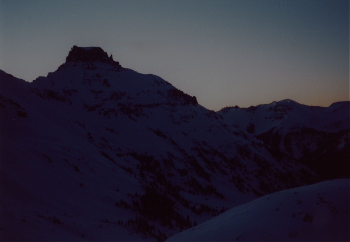
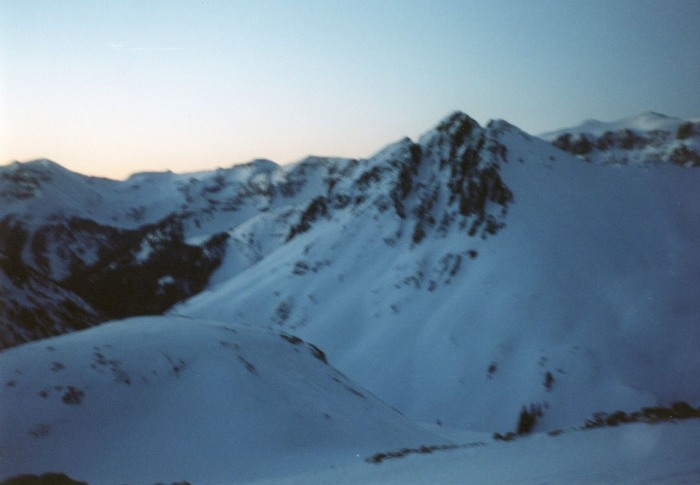
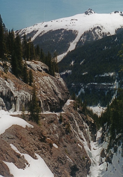
Sneffels was the last peak to come into view. The sky lightened just as the moon fell behind Gilpin, which continued to hold a strange aura with a reflection off Kismet. Once in upper Yankee Boy Basin, everything became clear, and if I had any doubt, the sun lit the summit like candles on a cake. I put crampons on and situated my board so I would not have to do so further up on the slope.
Gilpin
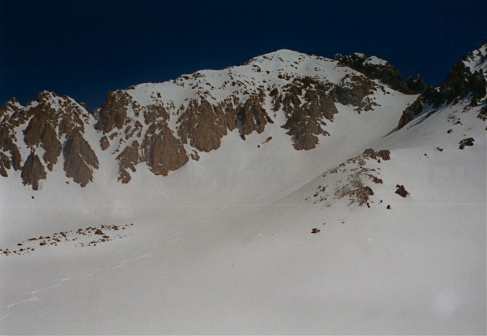
It was very firmly frozen snow under a few inches of light fluff. Hard boots or rigid crampons would be nice for this aspect to the Lavender Col. The second section ascends a steep, narrow chute from the col, and had been getting sun on one side already. A couple of exposed movements were needed to exit, and I had left my board anchored there.
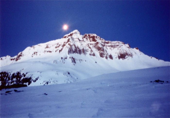
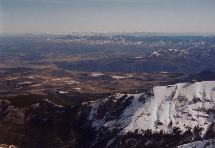
Uncompahgre was backlit to the east.
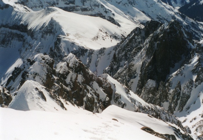
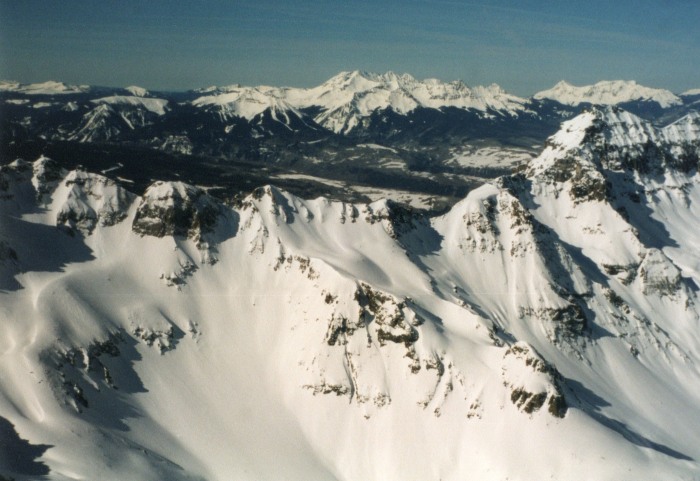
The summit ridge felt very lofty after the protection of the couloir, and I could see from the West Elks to the La Sals. Telluride and the Wilsons are just over the other side of Gilpin.
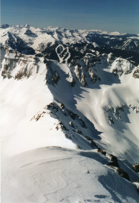
I looked again for an entrance to the chute, but no dice. The Birthday Chute was the only way off the true summit. I was at about 14,000 at the upper col when I strapped in. Riding the upper couloir was intimidating at first, the snow was barely soft enough. From the Col I relaxed my turns, and sailed out to the middle of the basin for breakfast.
I met the group that had camped out at the TH in Lower Yankee. At the time I thought they had missed the window, but realize now that they probably had hit it right for softer turns, since it was frozen so hard that night. Anyway, I enjoyed good flotation, and cruising the road out.
I split the board once, then soon reassembled, and walked a couple dry patches along the overhang, then cruised the rest to car.
Thumbnails for uploaded photos (click to open slideshow):
Although this is a report from nine years ago, the conditions are almost identical this year. Sorry for the lack of concrete numerical beta, I leave that to the guidebooks. The switchback I referred to in my journal was at about 9,100 ft. That was one of my best and first big days, but still had a lot to learn about ethical standards of summit descents. You may have noticed that the Birthday Chutes are actually in condition in photo # 9. Sneffels is one peak I could happily go back to again and again.
The day looks beautiful. If there were two parties there, the place is open! I'm glad the San Juan season has begun.
Caution: The information contained in this report may not be accurate and should not be the only resource used in preparation for your climb. Failure to have the necessary experience, physical conditioning, supplies or equipment can result in injury or death. 14ers.com and the author(s) of this report provide no warranties, either express or implied, that the information provided is accurate or reliable. By using the information provided, you agree to indemnify and hold harmless 14ers.com and the report author(s) with respect to any claims and demands against them, including any attorney fees and expenses. Please read the 14ers.com Safety and Disclaimer pages for more information.
Please respect private property: 14ers.com supports the rights of private landowners to determine how and by whom their land will be used. In Colorado, it is your responsibility to determine if land is private and to obtain the appropriate permission before entering the property.

")
")
")
")
")
")
")
")
")
")
")


