Download Agreement, Release, and Acknowledgement of Risk:
You (the person requesting this file download) fully understand mountain climbing ("Activity") involves risks and dangers of serious bodily injury, including permanent disability, paralysis, and death ("Risks") and you fully accept and assume all such risks and all responsibility for losses, costs, and damages you incur as a result of your participation in this Activity.
You acknowledge that information in the file you have chosen to download may not be accurate and may contain errors. You agree to assume all risks when using this information and agree to release and discharge 14ers.com, 14ers Inc. and the author(s) of such information (collectively, the "Released Parties").
You hereby discharge the Released Parties from all damages, actions, claims and liabilities of any nature, specifically including, but not limited to, damages, actions, claims and liabilities arising from or related to the negligence of the Released Parties. You further agree to indemnify, hold harmless and defend 14ers.com, 14ers Inc. and each of the other Released Parties from and against any loss, damage, liability and expense, including costs and attorney fees, incurred by 14ers.com, 14ers Inc. or any of the other Released Parties as a result of you using information provided on the 14ers.com or 14ers Inc. websites.
You have read this agreement, fully understand its terms and intend it to be a complete and unconditional release of all liability to the greatest extent allowed by law and agree that if any portion of this agreement is held to be invalid the balance, notwithstanding, shall continue in full force and effect.
By clicking "OK" you agree to these terms. If you DO NOT agree, click "Cancel"...
Route: Kelso Ridge
Distance: Appx. about 8 miles
Participants: ChrisP, stevevets689, Kiefer, shad
I wanted to throw togetter a quick report so I can share a couple of cool pictures that I took yesterday so here we go.
I decided that since I got off work at 11am on the 3rd and did not have to return until the 5th that I would go up and do Kelso Ridge on Torreys solo. While sitting in camp enjoying my green tea ChrisP pulls up in his truck. After catching up a bit ChrisP tells me that the 3 of them are also doing Kelso Ridge the next morning so I decided to tag along with them. Thanks guys.
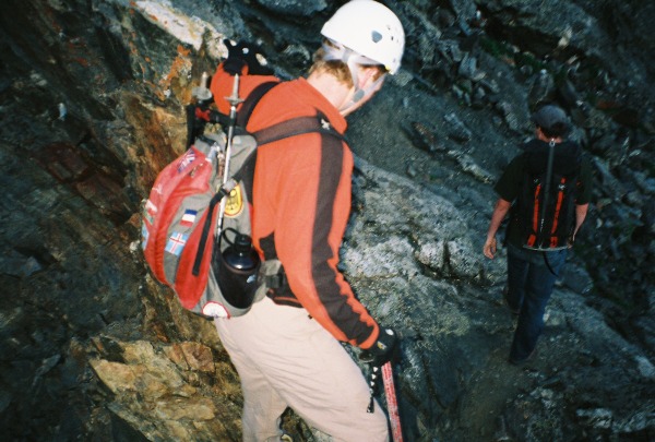
Start of Kelso Ridge
Kiefer coming up the bottom half of the ridge behind me
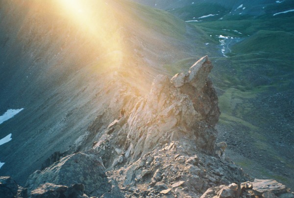
Steve approaching one of the towers
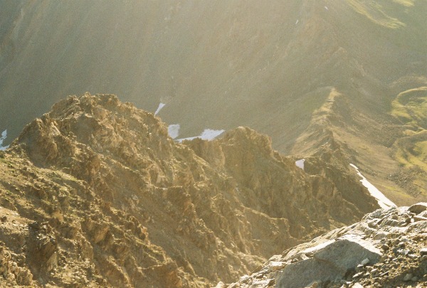
Looking down Kelso ridge before the Knife edge
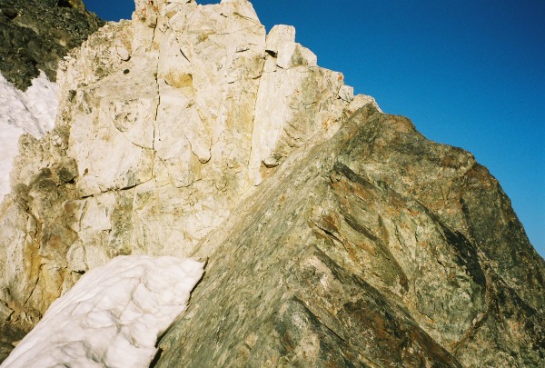
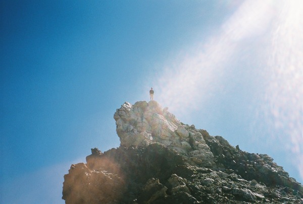
The Knife edge with the white rock tower at the end
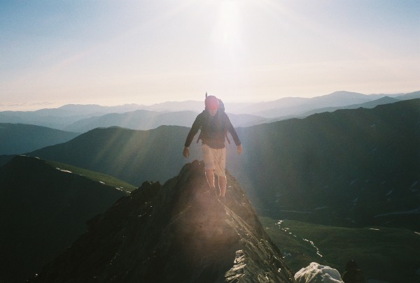
Chris doing his awesome balancing act across the Knife Edge
After all of us reach the summit of Torreys we cruised down the saddle via the standard trail and hit the summit of Grays.
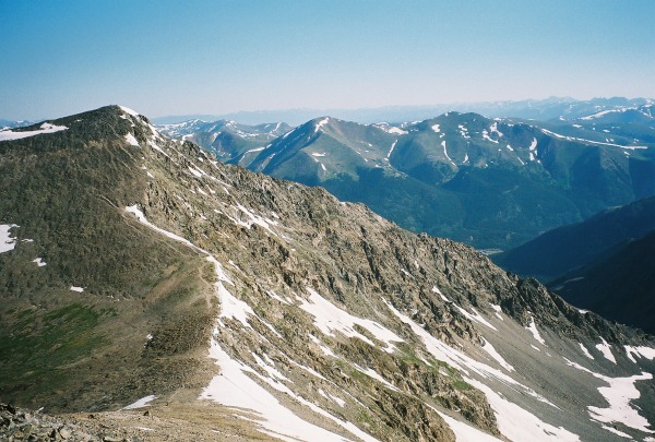
Saddle from Torreys to Grays
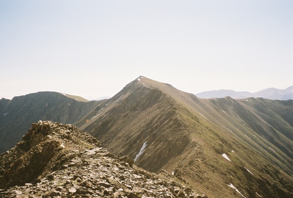
After taking the standard trail and summitting Grays we decide to hike the ridge from Grays over to Mount Edwards. From on top of Grays the ridge looks short and easy but it took about 1 hour 15 mins to do the ridge and it had some Class 3-4 sections if you wanted to do them. The harder sections can be avoided by walking to the south side of the ridge. Here are some pictures.
Ridge from on top of Grays to Mount Edwards.
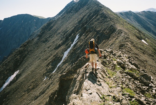
Chris working his way across the ridge to Edwards
Chris on top of the second tower on the ridge to Edwards
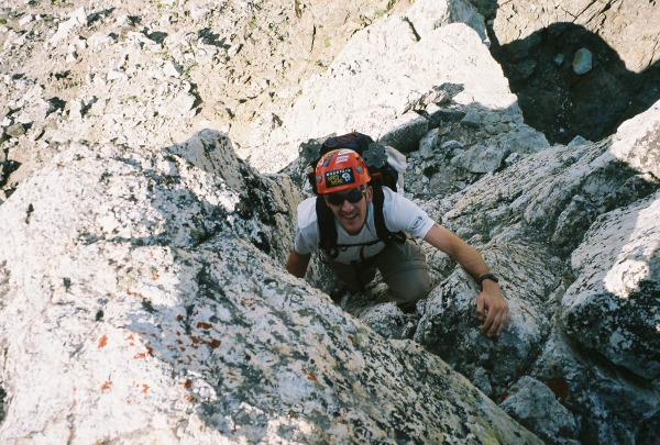
Me working my way up the second tower on the ridge to Edwards, this is a class 4 section
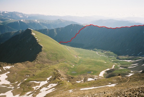
After hitting the summit of Edwards we headed across McClellan Mtn and decended the lovely scree gully that went on and on. I am sure that one of the other guys will show some more pictures from Edwards on, I did not take anymore pictures after Edwards. See the line below for about were our route from Edwards across McClellan to the trailhead was.
Awesome seeing you again, Shad! It was a great day, great commentary, great company and great hike/scramble! Kelso Ridge DEFINATELY rocks!
No prob. on the name.
It was great to have you along, Shad. I'll post my version of the TR tonight hopefully. Oh, btw, that's not Kessler, that's Kiefer (Skasgaard).
Caution: The information contained in this report may not be accurate and should not be the only resource used in preparation for your climb. Failure to have the necessary experience, physical conditioning, supplies or equipment can result in injury or death. 14ers.com and the author(s) of this report provide no warranties, either express or implied, that the information provided is accurate or reliable. By using the information provided, you agree to indemnify and hold harmless 14ers.com and the report author(s) with respect to any claims and demands against them, including any attorney fees and expenses. Please read the 14ers.com Safety and Disclaimer pages for more information.
Please respect private property: 14ers.com supports the rights of private landowners to determine how and by whom their land will be used. In Colorado, it is your responsibility to determine if land is private and to obtain the appropriate permission before entering the property.