
| Report Type | Full |
| Peak(s) |
Castle Peak - 14,274 feet Conundrum Peak - 14,037 feet |
| Date Posted | 07/18/2026 |
| Modified | 07/20/2026 |
| Date Climbed | 07/18/2026 |
| Author | BigC |
| Castle and Conundrum: the Grays and Torreys of the Elks |
|---|
|
Castle and Conundrum: the Grays and Torreys of the Elks Hiking, History, and an Honest Review 
Acknowledgement: With respect, I acknowledge that this land is the traditional and ancestral homeland of the Ute Nation and peoples. This was a site of trade, gathering, and healing for numerous other Native tribes. We recognize the Indigenous peoples as original stewards of this land and all their relatives within it. As these words of acknowledgment are written, the ties Nations have to their traditional homelands are renewed and reaffirmed. It's true--any mediocre day in the mountains is superior to the stale, hot air of the smoke-choked city. While I thoroughly enjoyed an ultimately spectacular day in the Elks, my experience with the Castle and Conundrum brothers was at best uninspiring and at worst, just plain unenjoyable. They are, without a doubt, the Grays and Torreys of the Elks. I’m happy to rank them in my bottom ten and never come back. For context, that places them in the same bracket as the Decalibron and Sherman for me. Importantly, I want to qualify that statement against the measuring stick of the Elk Range, not the Front Range. There are certainly rare risky moments and a few high-stakes areas where one should not fall, but when measured against thrilling Pyramid or insurmountable Capitol, there is very little to enjoy about the actual hiking of this route. Until the final approach to the Castle Peak summit, and the somewhat tedious but meaningfully demanding saddle to Conundrum, it’s a dull slog. I don’t climb mountains to stroll down a remote country lane. I want to feel very alive; I want to feel that unnamable magic feeling I get chasing summits. Sadly, anyone who has ever wished for a sidewalk up a mountain will enjoy this dusty mining road of a trail. If I didn’t need these to bag The 58, I simply wouldn’t do them and surely won’t be back again. I particularly enjoyed the ever-present dust and rocks kicked up by the 4WD traffic up and down the road. 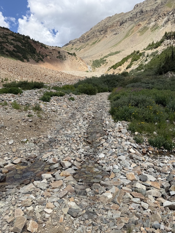
What these crumbling anthills lack in thrill and physicality, the scenery and views make up for in abundance. While the forest makes an abrupt Irish exit less than a third of the way through your hike, what scenery there is will floor you—especially as you make your way back to the car in the afternoon. Commit that to memory: two thirds of this route is above timberline and there is no easy bail if a storm rolls in. Similar to Sherman, because of the placement of the saddle you will not see a storm until it is upon you. 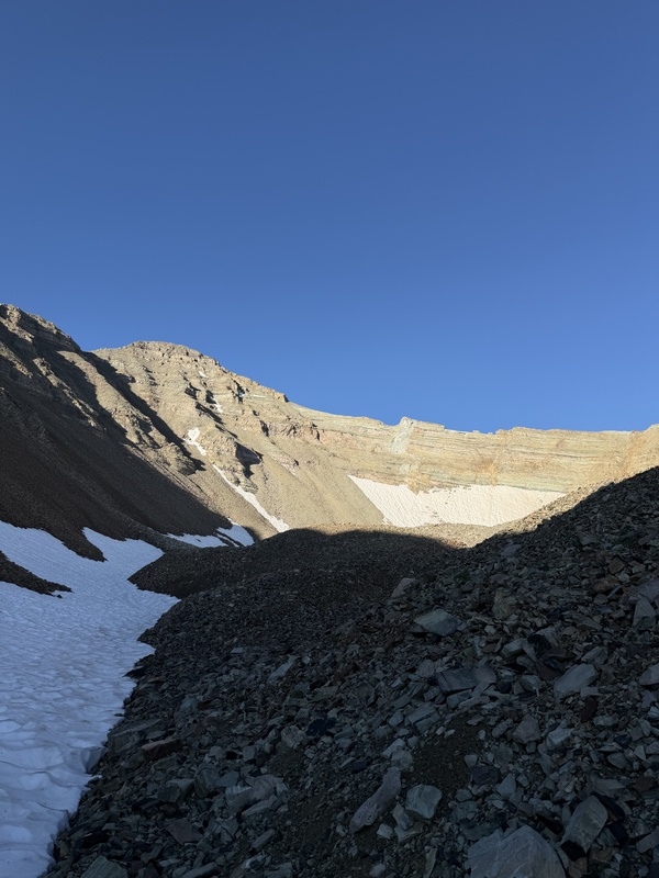
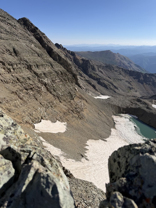
Like everything else, the route finding is easy. There is exactly one correct way up and one correct way down in the summer. Unless you intend to be off-route, and one should avoid being off-route in the Elks at all costs, it’s nearly impossible to lose the narrow, crowded trail. You will be mindful of the silt on the smoothed balconies of rock approaching the summit. Certainly, a slip on the ridgeline approach will make for a bad day. In other places along the trail, you should remain vigilant of hikers above and the stability of your hand and footholds below. If I have one regret about my preparations for this hike, it is the foolishness of not bringing a helmet for that final mile or two. This could have been a more unfortunate oversight than it was, specifically considering how heavily trafficked this route is. Perhaps owing to the low class-rating and ease of access to the summit, queues of hikers will conga-line up narrow, loose gullies and pathways with little regard for those below them. Please, wear a helmet, call your rockfall as good etiquette denotes, and announce your presence as a hiker below as often as necessary. When the road ends just below the headwall, prepare to tread mine tailings from last century, loose boulders, and large, irregular rocks. Shifting stone the size of microwaves and minivans await, but the careful climber will do just fine if they proceed with caution and respect for the mountain. 
Adding insult to injury, the peaks of the Montezuma Basin are doubtless the most defiled of the many basins I’ve been in, superseded perhaps only by poor, abused Bross. This area was one of the hardest hit by those early mining rushes which made Aspen the rich and remote settlement it started out as. Beginning in 1879, and continuing into the 1900's, Montezuma Basin was heavily extracted for deposits of gold, silver, and the mineral galena. Before the Great Silver Crash, Aspen even outproduced the prodigious mines of Leadville, supplying one sixth of the United States' silver ore at one point. With little regard for the long-term consequence of overexploitation, individuals like Horace Tabor contributed to the contemporary state of many of our shared wild places. Today, as then, robber barons and millionaires are still the most common indigenous animal in the region, occupying these once-lands of the Ute Nation. The result are peaks and an amphitheater which look bleak and eaten by industry and the rich. Here and there, some derelict old mining ruins add a little interest to the experience. 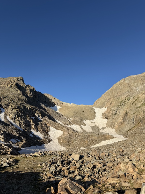
When you do finally encounter interesting terrain above 13,000', jagged-edged dinner plates of rock are haphazardly stacked like broken porcelain on the Titanic as she sinks; they constantly shift underfoot as the rotten, miserable rock of the Elk Range is famous for doing. Inevitably, you will kick a few loose. The clatter sounds just like shattering glass. This brittle, untrustworthy mud shale is the product of millions of years of sediment compacting and uplifting from a prehistoric ocean floor. The distinct red banding and blocky terraces of this region are the result. Observant hikers may find shells, fossils, and the imprints of long-dead marine life in the rock if they are patient and lucky. Curiously, the Elks are some of the youngest mountains in Colorado; they are not aging well. Unlike the billions-year-old granite rocks of the Front Range, the Elk Range has been uplifting and falling apart for only around 70 million years. 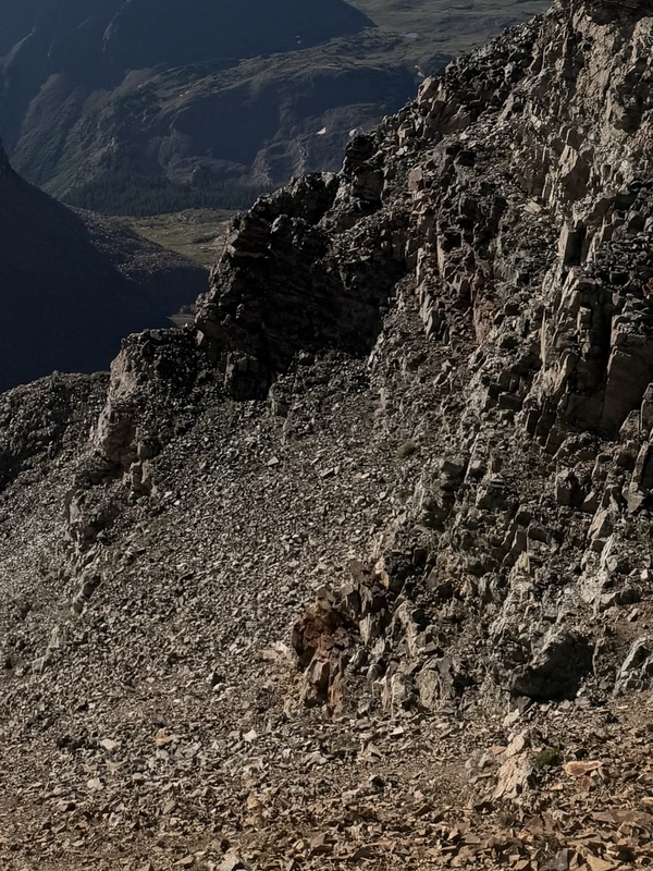
If all this sounds a little dispiriting, it is. What isn’t are the forested portions of this area. Most of the way, your route parallels the mellifluous and crystal-clear Castle Creek. Multiple large waterfalls line the route, cascading with a mighty roar down the sheer red-grey cliffs of this valley. Gendarmes, spires, and turrets loom high above, worn away by water, mining, and the long passage of time. 

Lush, verdant little fairy meadows full of birdsong and lavish sprays of wildflowers are peppered throughout. A riot of fireweed, columbine, alpine lupine, dainty bluebells and foxglove grow all along the trail. Bushy fir and towering lodgepole pine reach for the expansive sky above. Their pollinators are abundant—blue hairstreaks, fritillaries, swallowtail and other butterflies of all colors tend to these gardens. There are more than 1,000 species of bee in Colorado; you will find many of them here. Notably, flies and mosquitos call the area home, too. Unlike the other regions of Colorado I’ve visited recently, the humid damp in this valley has given rise to swarming clouds of insects of all kinds. Bring bug spray. 
If anything makes the lackluster experience of tagging these peaks worth it, it’s the views. From the keep of lofty Castle, every mountain in the area bows before you. Cathedral Peak, Malamute Peak, the Maroon Bells, Pyramid, Snowmass and Capitol to name just a few. If this does not humble you, I don’t know what will. Castle Peak is, if nothing else, good at holding court with his subjects. 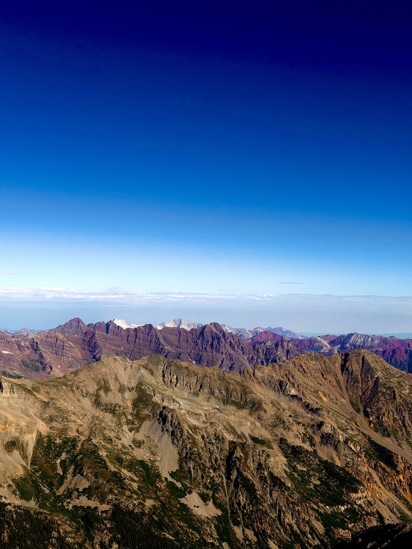
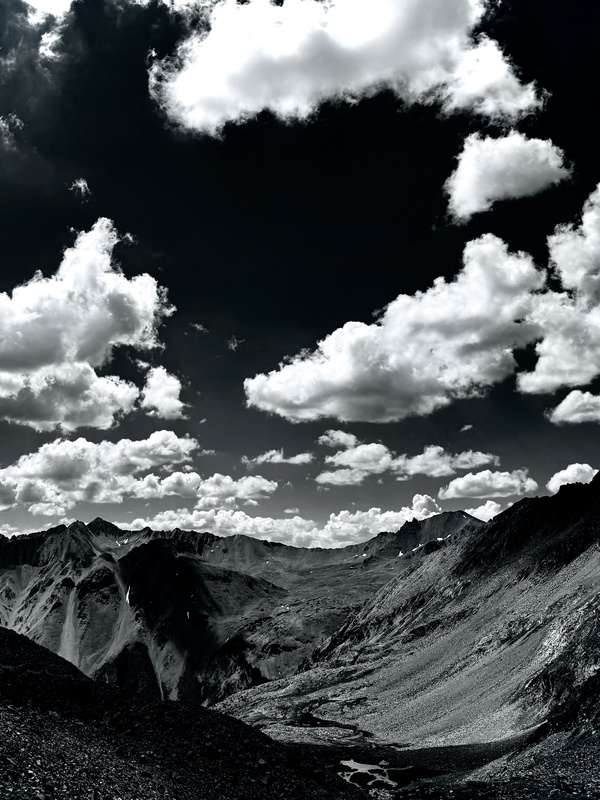
Ultimately, this pair suffers the cardinal sin of being technically unrewarding. Worse still, hikers seeking the ego boost of bagging two in one day will be sorely let down finding out only one counts as a proper 14er due to the 300’ rule. If there’s a redeeming feather to put in your cap, it’s that you’ve successfully stood atop the highest peak in the Elks if you finish Castle Peak. I began at 4AM. The dome of stars above me was overwhelmingly luminous and beautiful. It took me 7 hours and 50 minutes car to car. Because I stopped off to explore a few times, I logged roughly 16 miles. Even if Conundrum is unranked, the distance between the two siblings is a matter of 30 minutes or less. Final recommendation? Bag the summits because you must; enjoy the scenery and forest because you can. Hiking: 4/10 Scenery: 10/10 Views: 12/10 Thumbnails for uploaded photos (click to open slideshow): 



|
| Comments or Questions |
|---|
|
|
Caution: The information contained in this report may not be accurate and should not be the only resource used in preparation for your climb. Failure to have the necessary experience, physical conditioning, supplies or equipment can result in injury or death. 14ers.com and the author(s) of this report provide no warranties, either express or implied, that the information provided is accurate or reliable. By using the information provided, you agree to indemnify and hold harmless 14ers.com and the report author(s) with respect to any claims and demands against them, including any attorney fees and expenses. Please read the 14ers.com Safety and Disclaimer pages for more information.
Please respect private property: 14ers.com supports the rights of private landowners to determine how and by whom their land will be used. In Colorado, it is your responsibility to determine if land is private and to obtain the appropriate permission before entering the property.


