Download Agreement, Release, and Acknowledgement of Risk:
You (the person requesting this file download) fully understand mountain climbing ("Activity") involves risks and dangers of serious bodily injury, including permanent disability, paralysis, and death ("Risks") and you fully accept and assume all such risks and all responsibility for losses, costs, and damages you incur as a result of your participation in this Activity.
You acknowledge that information in the file you have chosen to download may not be accurate and may contain errors. You agree to assume all risks when using this information and agree to release and discharge 14ers.com, 14ers Inc. and the author(s) of such information (collectively, the "Released Parties").
You hereby discharge the Released Parties from all damages, actions, claims and liabilities of any nature, specifically including, but not limited to, damages, actions, claims and liabilities arising from or related to the negligence of the Released Parties. You further agree to indemnify, hold harmless and defend 14ers.com, 14ers Inc. and each of the other Released Parties from and against any loss, damage, liability and expense, including costs and attorney fees, incurred by 14ers.com, 14ers Inc. or any of the other Released Parties as a result of you using information provided on the 14ers.com or 14ers Inc. websites.
You have read this agreement, fully understand its terms and intend it to be a complete and unconditional release of all liability to the greatest extent allowed by law and agree that if any portion of this agreement is held to be invalid the balance, notwithstanding, shall continue in full force and effect.
By clicking "OK" you agree to these terms. If you DO NOT agree, click "Cancel"...
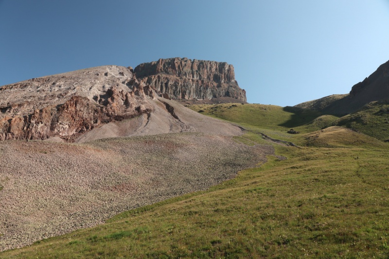
I've put off a trip to the Cimarron because of the notorious scree, but in order to scope the worst peaks out for the future, I had do do a few of the less heinous ones. The drive over Owl Creek Pass was quite pleasant. A POS city car with 3" of clearance can drive this pass, and get within 1.4mi of the upper trailhead. One such car from Alabama let me pass, since it was going 3mph due to it's low clearance. While I would recommend high clearance for this TH, it is Subaruable - ONLY IF you know what you are doing. There are a few spots that could prove tricky to a city dweller.
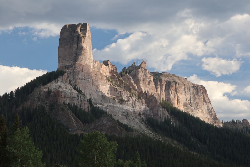
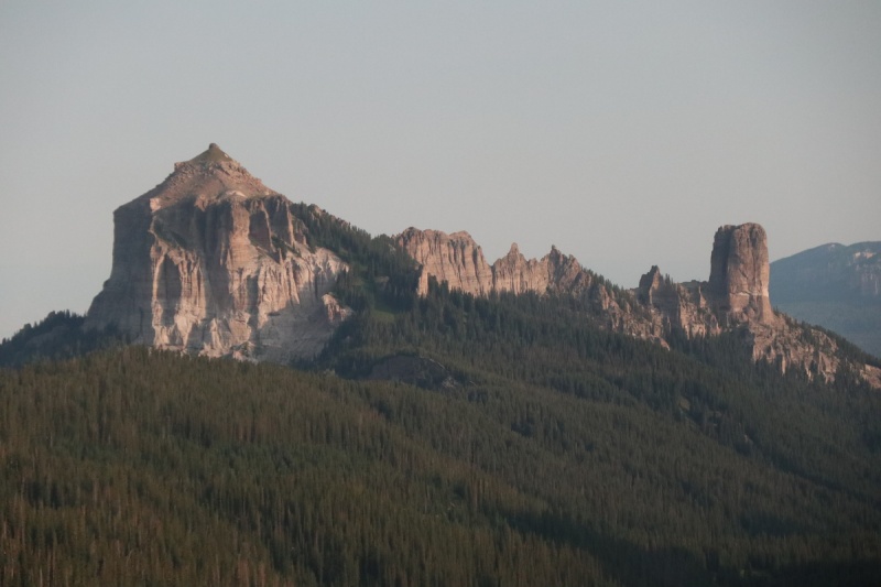
Why hello there pretty! Courthouse Peak in the evening light from near Owl Creek Pass
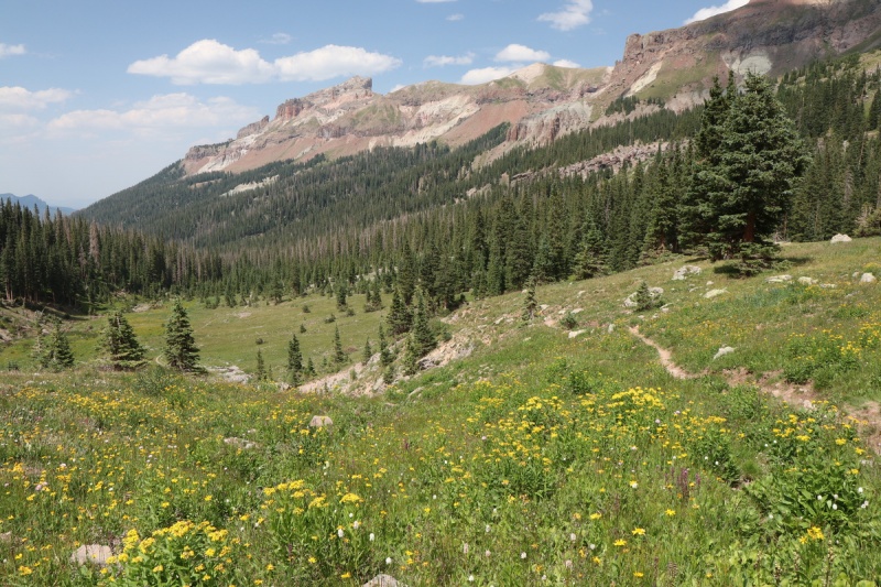
I camped near the trailhead for 3 nights, which is my favorite thing to do. Not having to move camp is glorious! The meadow is pretty spectacular and was photographed pretty extensively while relaxing after hiking.
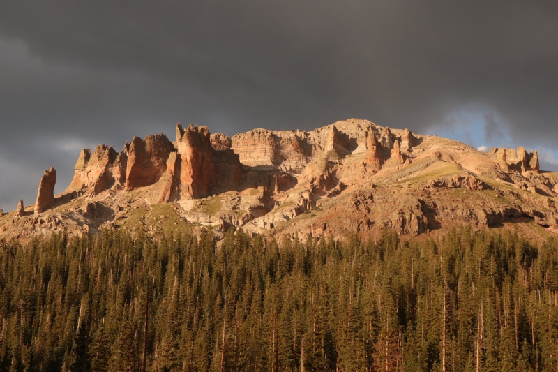
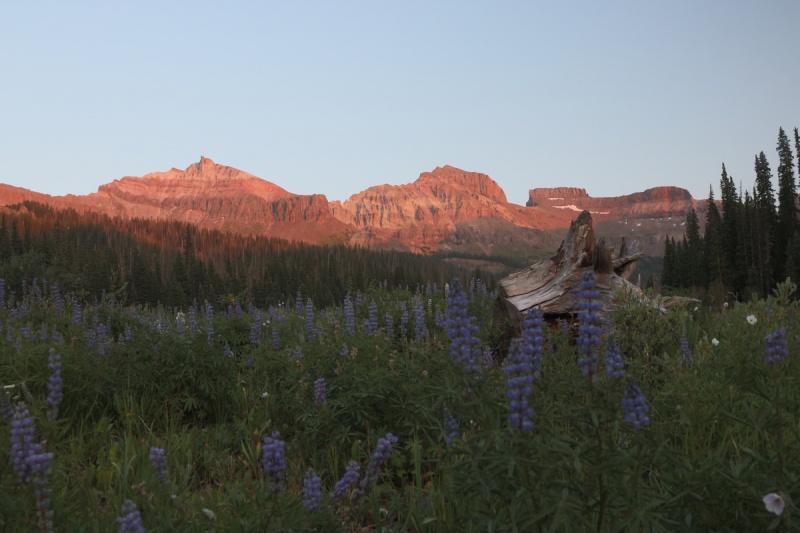
Precipice in the bold evening light
I chose to do my longer trek on the best weather day (that I knew of). Got up and was out before the sunrise. 3.1 miles up to the West Fork Pass went pretty rapidly. Especially since I couldn't photograph anything till I got higher due to the low light. As I would be on the trail multiple days, it didn't matter.
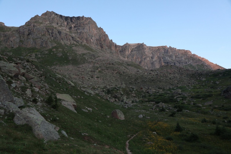
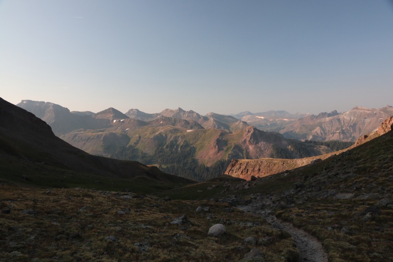
Trail heading upTrail towards pass in center
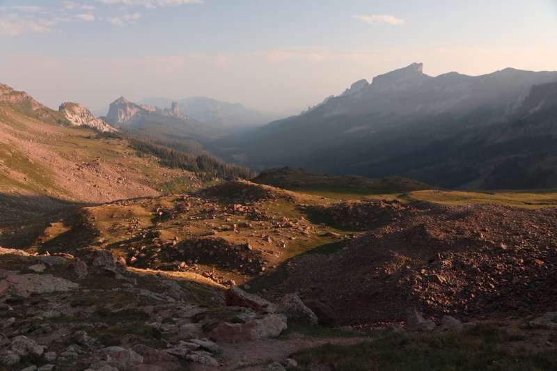
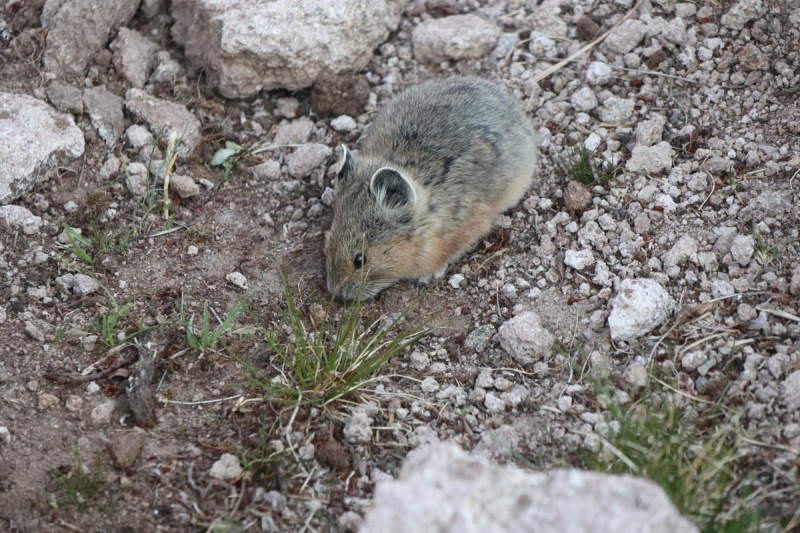
Looking down the smoke hazy valley with the rising sunPika not afraid, too hungry!
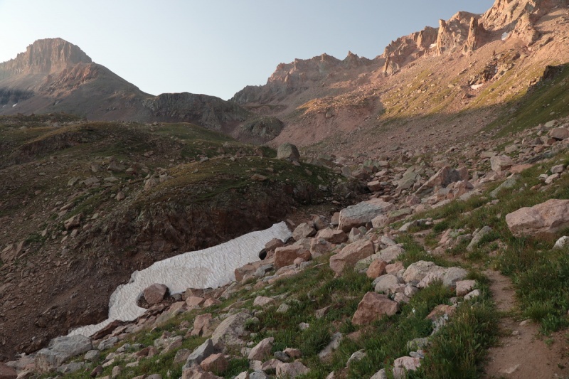
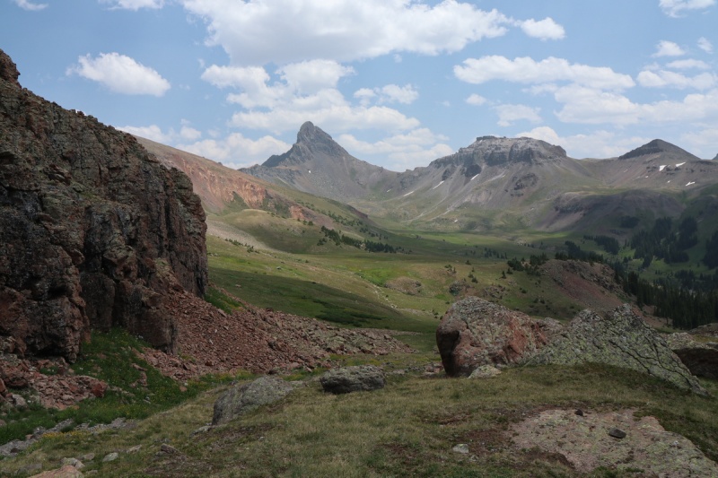
Looking at the south side from the pass
Took a short break at the pass, and noted the slight cell reception. I check mainly because I am a caregiver, and get calls from hospitals on the regular.
A nice trail drops down to the other side, into Wetterhorn Basin. Soon the cut off trail/route for Coxcomb saddle arrives and I happily take it, to avoid the loss of elevation. There is no "trail" just posts to mark the route.
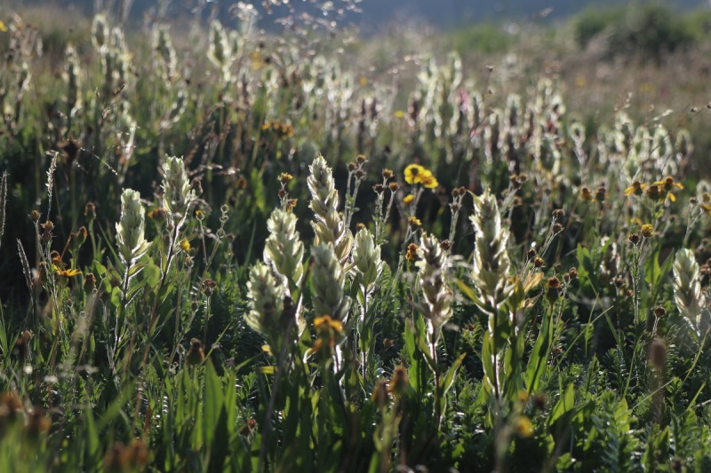
Backlit wildflowersTrail up to Coxcomb saddle
From the saddle, it's easy to bypass with first ridge bump to the north to get a view of the first peak today, 13,206'
13206 from the west
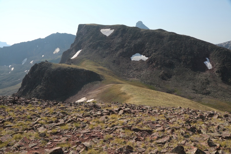
I ascended the peak on the rocky section to the left of the snowfield. To the right looked way too much loose scree and talus for my taste. I'd rather have a bit steeper and more stable talus!
It was nice to finally be on another new 13er after a month away. Life has a way of preventing what you'd rather do, but so it goes.
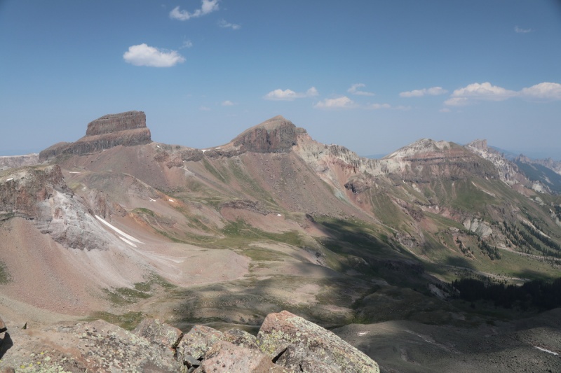
Coxcomb, Redcliff and Fortress13,377 and Wetterhorn
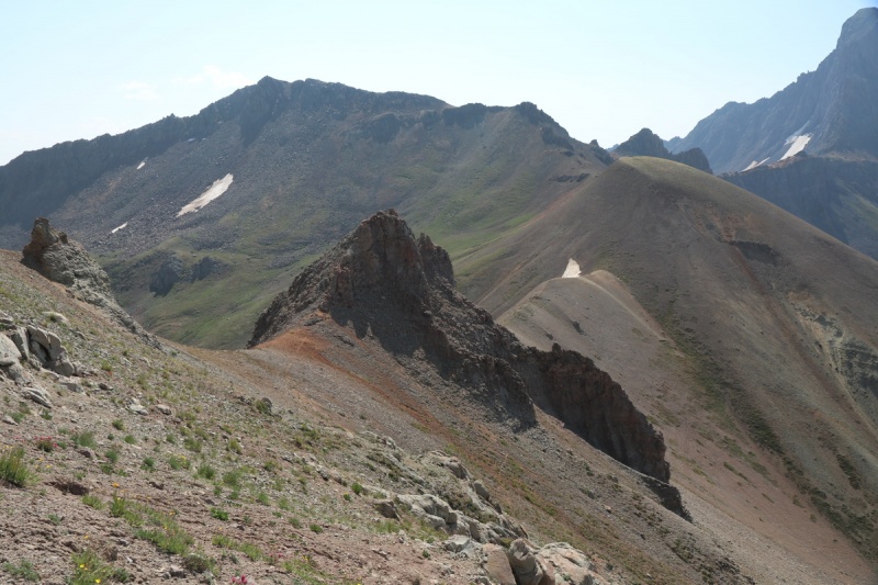
After a short break, since I figured I would be coming back this way again, I was off to peak #2. You drop to the north/left of the first gendarme and to the right of the second on small game trails. Though that second is where the nasty scree is. Pick your poison - it all sucks.
Ridge to 13,37713,206 from the saddle with 13,377
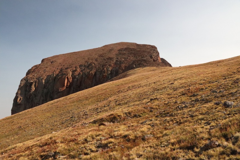
The route up 13,377 stays pretty close to the ridge, but just to the left under the gendarmes. Lower it is all scree, so there's a good use trail at the rock boundary.
Route up 13,377 HereHeisshorn ridge.... nasty
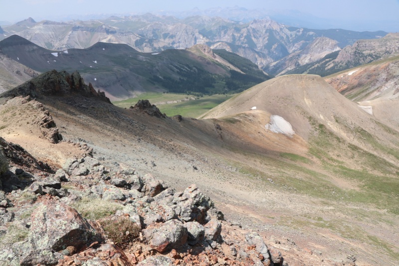
From the summit of 13,377 I get a better view of the weakness up to the Coxcomb - Redcliff saddle. I had been contemplating going up there to add on Redcliff, instead of dropping down and around to West Fork Pass, as I did on the way here. But there appeared to be lingering snow in the scree chute at the top. I didn't bring snow gear, and didn't want all that effort to be thwarted just below the saddle. So I figured I had to decide from a return over 13,206 or dropping into Wetterhorn Basin early. I went with the latter. No need to side hill that nasty scree a second time!
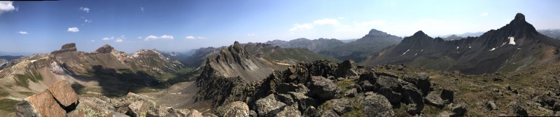
13,377 Pano
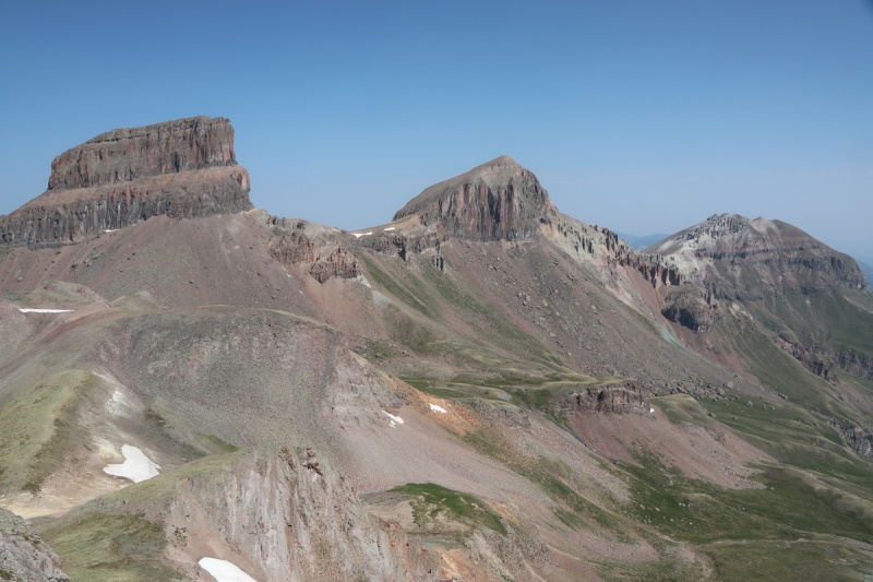
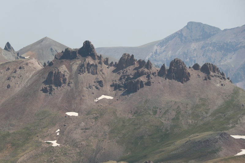
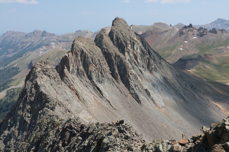
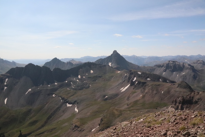
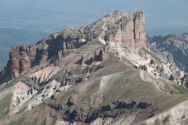
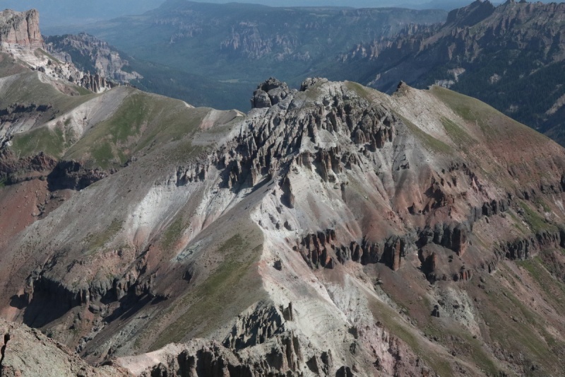
Coxcomb, Redcliff, Precipice & FortressEl Punto with the Silver group behindHeisshorn can wait for another day - I ain't doing THAT ridge. F NO
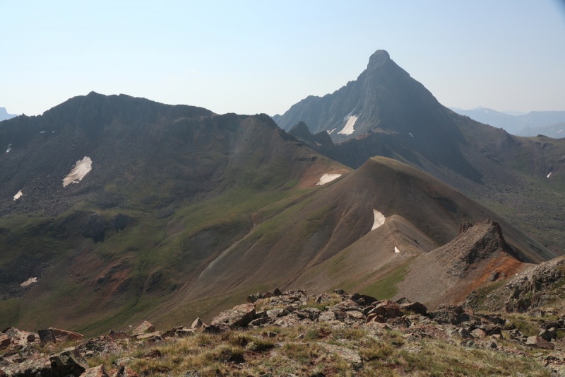
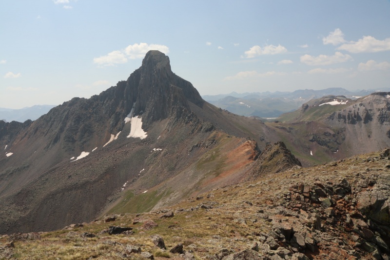
Wetterhorn north face
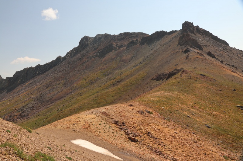
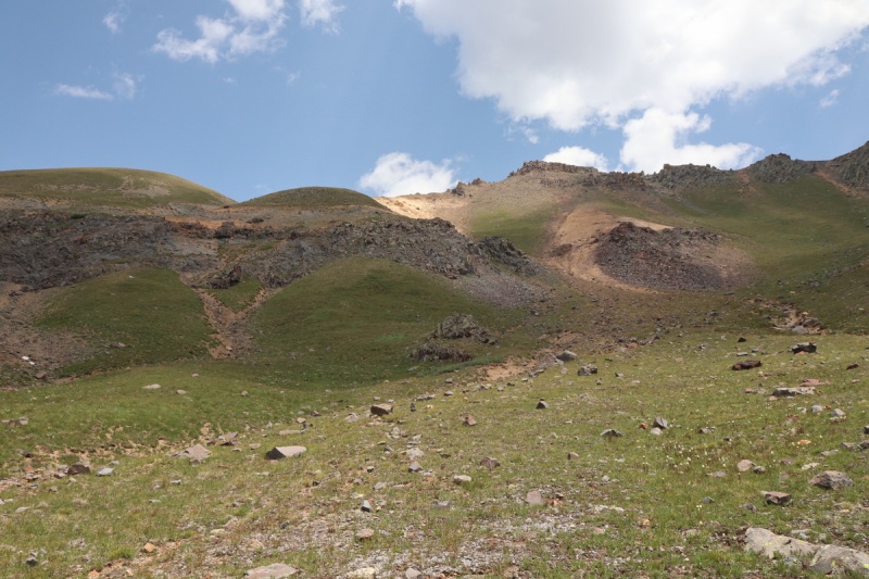
After a nice break on the summit, it was time to return. No storms building today, but I still had to get up a pass along the way home. I got down to the saddle with the scree bump, and found a nice grassy way down to the basin below. The lower section cliffs out in spots, so I ended up having to go into a scree gully for the final descent. Dropping closer to 13,377 might be better, except at the very top.
View down ridge from 13,377 summitLooking up to the ridge with 13,377. Note cliff bands.
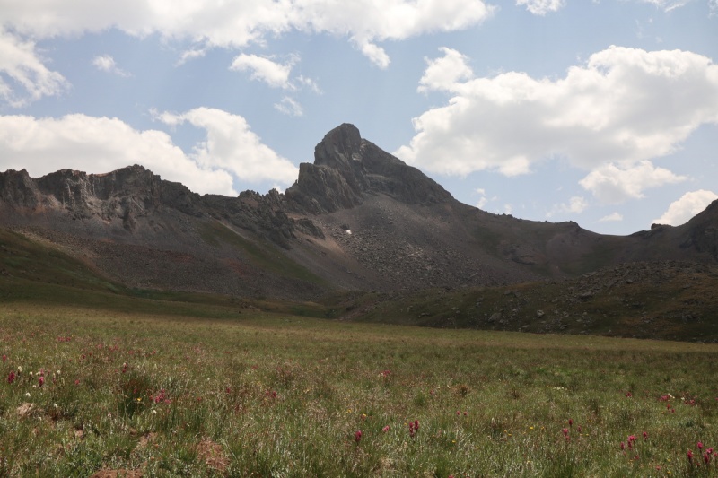
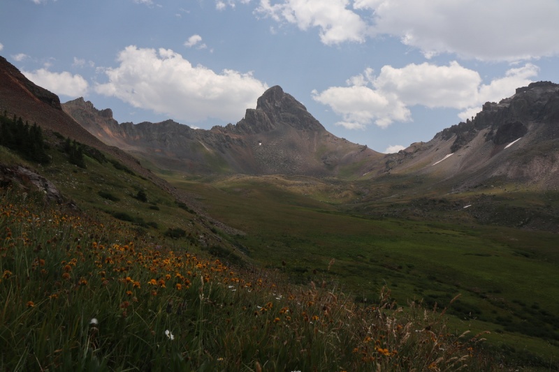
The romp down Wetterhorn basin was quite pleasant, and I took every opportunity to photograph the wildflowers and angles on Wetterhorn that I'd never seen before.
WetterhornWetterhorn from a little farther away...
Route back up to West Fork PassGetting closer to the pass
Elephant fieldsParting shot of Wetterhorn as I near the pass
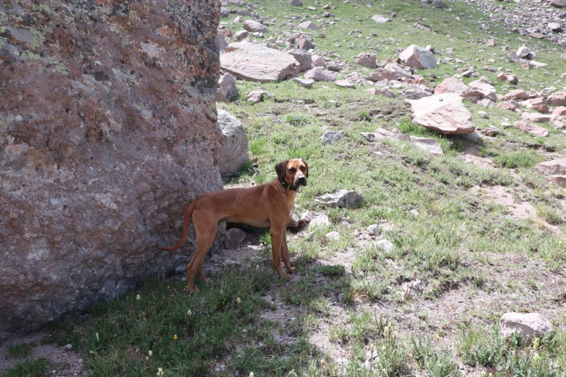
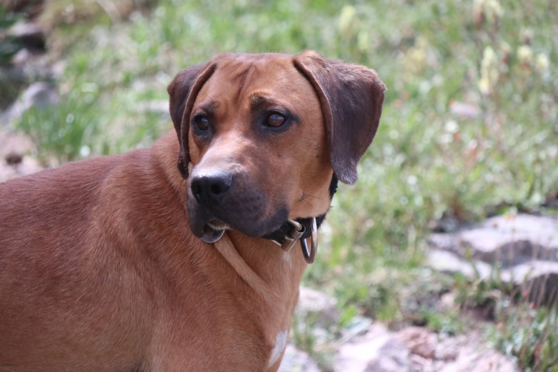
After a short break at the saddle I made my way down. There is a nasty loose scree section just below on the north side, but after that, the trail is quite nice. Just as I was breathing a sigh of relief that I was done with the scree for the day, and back on rolling tundra, a dog comes running up to me, quite friendly. I figured his humans had to be around the bend in the trail, so I didn't think too much of it. But as I rounded that bend, his humans weren't there. That's when I called the dog to me, introduced myself, and looked at his tags on his collar. Pea Body with a 970 area code phone #. A local Coloradan pup. Pea Body heeled me quite well, and only deviated when I took a short break, and he went into the shade for a bit.
Pea Body taking advantage of the shadePea Body
I took the photos mainly as a remembrance, since his humans HAD to be on the big slope just around the next bend. But as I got to that view down to the valley below, and I saw no one, I realized I now had a dog. Pea Body was separated from his humans. Was it that day? A couple days? I don't know.
I'm a cat person. I've been deathly allergic to dogs for most of my life, and it's only been recently with being Paleo for 9 years, that the allergy seems to be waning. So I don't exactly know how to take care of a dog. I've watched my friends with dogs, so I have some clue. But what should I feed him? Where would he sleep tonight? A ton of questions were running through my head. Should I hike tomorrow with him? Should I drive out to cell service tonight to call the owners? I had planned 2 more days in the basin, if the scree wasn't too bad. I didn't have a leash, but since he was heeling nicely, was it necessary? He seemed to come to me with the basic commands that I know most dogs should understand.
As I started going down the big slope, Pea Body took off running down the trail. PHEW, his slow ass humans must be down there! As I reached the concavity in the trail, 2 backpacking ladies came up the trail and immediately said "Is this your dog?". No... I thought he was yours! We then start talking about who else was on the trail as they were coming up. I had seen fresh horse tracks, but they didn't ask them about the dog. Apparently the backpackers had been watching Pea Body run up and down the pass as they were coming up the valley. As we chatted about what we were going to do about the dog, Pea Body ran back up the trail towards the Pass. We tried to call him back down to us, but he only slowed and looked at us, before continuing uphill. I didn't have 1K of elevation gain left in me today, so I told the backpackers to prepare a leash and that there was cell service at the saddle. The backpackers would be in the basin till Friday, 3 days away, and didn't have much extra food, but they thought they would have a little. No one else was on the other side of the pass, that I saw, so they now had a dog for their trip.
I hiked down and worried about what would happen to Pea Body, since I know how badly I would feel if my pet was lost!
Trail down valley. Precipice in backgroundCoxcomb with valley flowers
Sunset light on Fortress, Redcliff & Coxcomb
Redcliff
mileage: 6.65
elevation gain: 2933'
trailheads: West Fork
partners: solo
I slept a little bit longer today, since the weather was supposed to also be fairly nice. I was going to do Redcliff and maybe Fortress, if I could find a good route. Fortress looked like steep scree, so I wasn't exactly looking forward to that. Plus I had though to see if Pea Body was still loose. Taking him home would be a good excuse to skip a scree ascent on a peak.
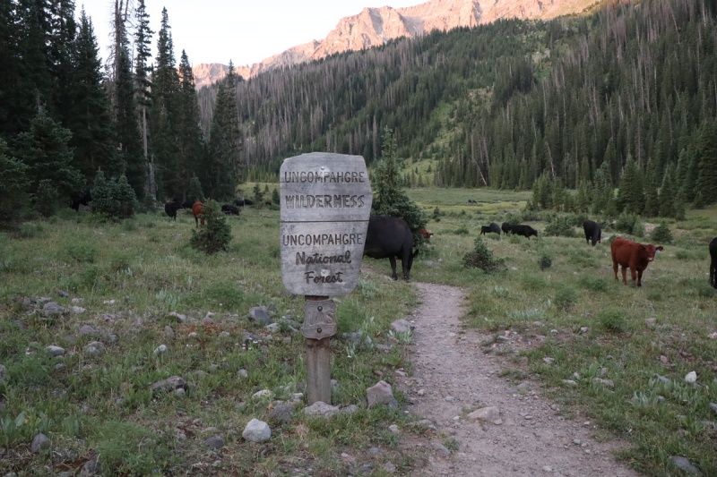
Wild cows
The wilderness cows are moving down valley... By Thursday morning, they were around the trailhead
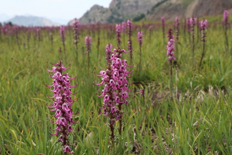
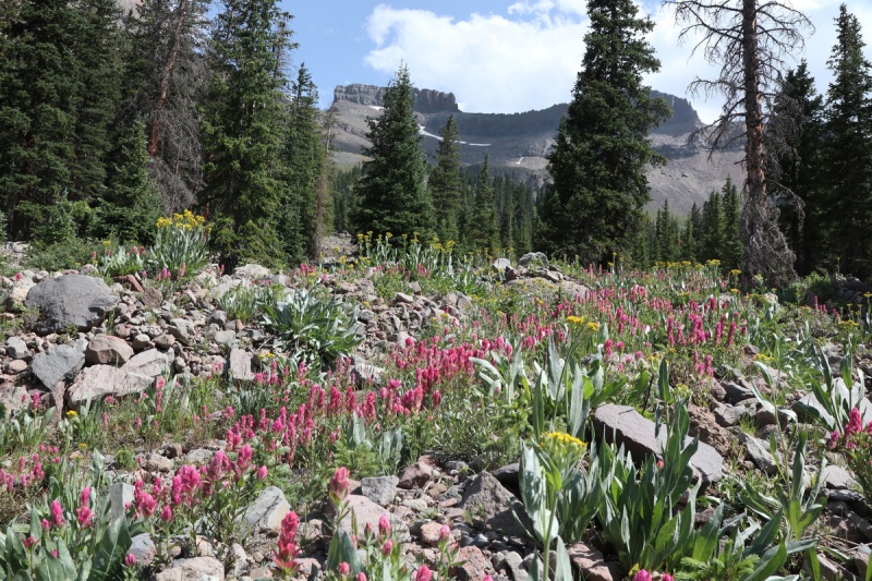
Wildflower explosion
I knew the main drainage from the Redcliff Coxcomb saddle was pretty eroded and cliffy, I went up the drainage to the north, and angled into the main one. I went up the trail further than needed, since I was looking for signs of Pea Body. I brought cord and extra food, if I saw him again
Looking up to the saddleCircle of Life... What I don't want happening to Pea Body!!!
Courthouse once again catching my eye!Viewing the route from above the trees
There's a small scree gully that divides the cliff bands surrounding the saddle. I stayed on the talus on the ascent, and took the scree "trail" down. Oh bicentennials now with trails... so many hikers!
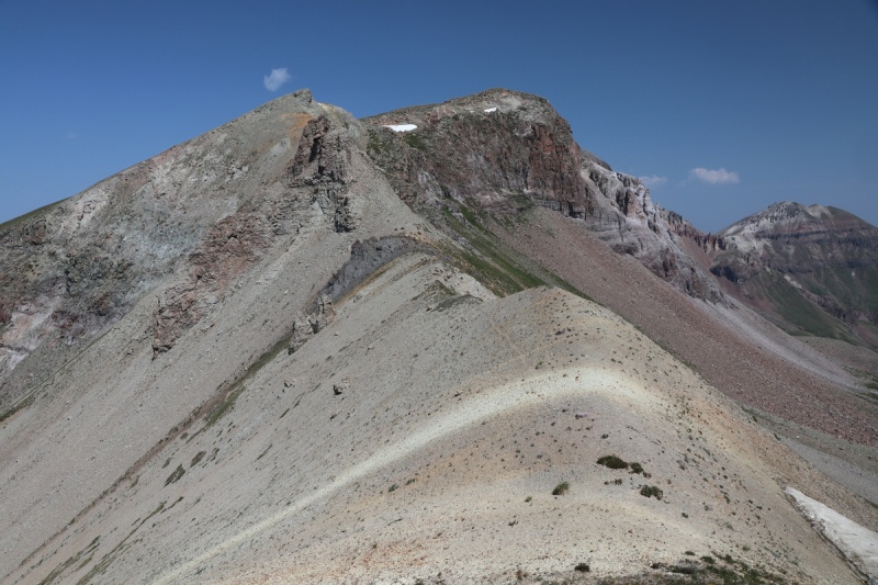
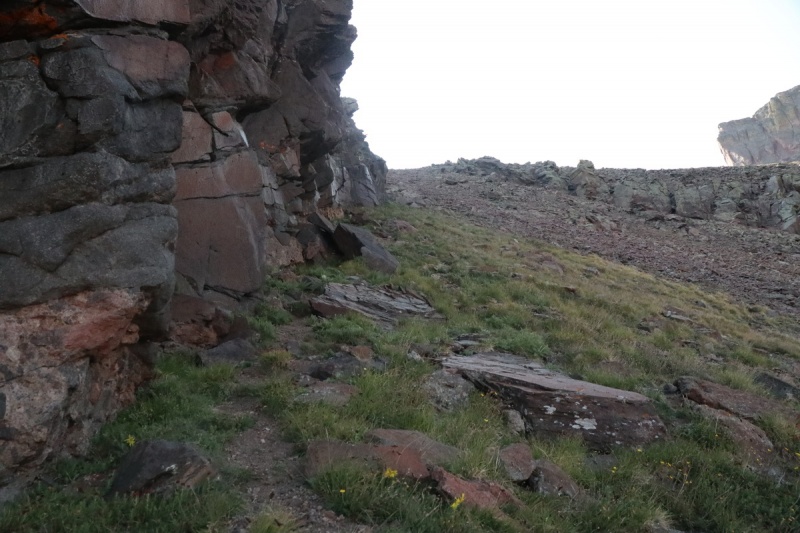
Nearing the saddle, I stayed very high to the left under the cliff bands, where it seemed more stable. But then you come on to a white conglomerate rock section that is pretty nasty. Had to pull scrambly moves to get up this nasty section. Going down will SUCK!
Approaching the saddle, right before the suck
At the saddle I could breathe easier, the remainder of the route was easy and obvious.
Route up to Redcliff from saddleCoxcomb from saddle
I got cell at the saddle and quickly made a post on 14ers FB about Pea Body. If I found the dog and brought him out, I may need help caring for him till he can meet his humans again.
Redcliff summit Pano
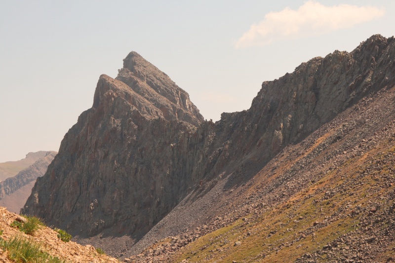
Wetterhorn and the 2 peaks from yesterdayPrecipice
FortressCoxcomb and route to saddle
I stayed on the summit for quite a while. Precipice looked nasty-ass-tasty. That can wait for snow or another day. I had no motivation. I was too worried about Pea Body getting away from the backpackers, and still being loose.
The descent sucked, just as much as I had imagined. Though going down the scree trail was a it easier than it would have been to go up it.
Looking down the scree gully
I deviated towards the trail up to the pass, so I could call for Pea Body. I saw 2 ladies coming down from the pass, so I went to meet them and ask if they had seen a dog. They didn't, so that means that Pea Body was likely with the backpackers and I did all that I could for him. I had posted about Pea Body in the trail register and took photos of the names for the past week, but not everyone signs in or makes comments. Maybe the backpackers will see and let me know the outcome. I can only hope he will be OK.
Wildflowers and Redcliff
I hiked out and it started to sprinkle rain lightly. I ended up having to eat my dinner in my truck, since it rained for most of the evening. The next day I had thought to hike Precipice, since it was RIGHT there. But the scree looked heinous, and my feet said no. At least I got a nice break from adulting for a few days. That returned on my drive home soon enough. C'est la vie!
My GPS Tracks on Google Maps (made from a .GPX file upload):
View on the Map
GPX file cannot be downloaded (per author)
Thumbnails for uploaded photos (click to open slideshow):
Piper14er - can't say I'm quite desperate for a shot at Heisshorn just yet, especially with the wildfire smoke, but I would like a partner for that nasty one, so we should keep each other in the loop!
finally checked back, yes keep in the loop
thanks
Al
Caution: The information contained in this report may not be accurate and should not be the only resource used in preparation for your climb. Failure to have the necessary experience, physical conditioning, supplies or equipment can result in injury or death. 14ers.com and the author(s) of this report provide no warranties, either express or implied, that the information provided is accurate or reliable. By using the information provided, you agree to indemnify and hold harmless 14ers.com and the report author(s) with respect to any claims and demands against them, including any attorney fees and expenses. Please read the 14ers.com Safety and Disclaimer pages for more information.
Please respect private property: 14ers.com supports the rights of private landowners to determine how and by whom their land will be used. In Colorado, it is your responsibility to determine if land is private and to obtain the appropriate permission before entering the property.




 GPX file cannot be downloaded (per author)