Download Agreement, Release, and Acknowledgement of Risk:
You (the person requesting this file download) fully understand mountain climbing ("Activity") involves risks and dangers of serious bodily injury, including permanent disability, paralysis, and death ("Risks") and you fully accept and assume all such risks and all responsibility for losses, costs, and damages you incur as a result of your participation in this Activity.
You acknowledge that information in the file you have chosen to download may not be accurate and may contain errors. You agree to assume all risks when using this information and agree to release and discharge 14ers.com, 14ers Inc. and the author(s) of such information (collectively, the "Released Parties").
You hereby discharge the Released Parties from all damages, actions, claims and liabilities of any nature, specifically including, but not limited to, damages, actions, claims and liabilities arising from or related to the negligence of the Released Parties. You further agree to indemnify, hold harmless and defend 14ers.com, 14ers Inc. and each of the other Released Parties from and against any loss, damage, liability and expense, including costs and attorney fees, incurred by 14ers.com, 14ers Inc. or any of the other Released Parties as a result of you using information provided on the 14ers.com or 14ers Inc. websites.
You have read this agreement, fully understand its terms and intend it to be a complete and unconditional release of all liability to the greatest extent allowed by law and agree that if any portion of this agreement is held to be invalid the balance, notwithstanding, shall continue in full force and effect.
By clicking "OK" you agree to these terms. If you DO NOT agree, click "Cancel"...
Starting Point: Deer Creek Trailhead: ~9,280'
Peaks Climbed in order of ascent: Rosalie Peak (13,575'), âEpaulieâ (13,530'), Epaulet Mountain (13,523'), Pegmatite Points (12,227')
Route: East ridge ascent of Rosalie, ridge traverse to âEpaulieâ and Epaulet Mtn, return via ridge and northeast ridge ascent of Pegmatite Points
RT Distance: ~15.9 miles
Elevation Gain/Loss: ~6,070 feet (per Google Maps)
Group: Solo
My goal today was to explore some Front Range peaks. Rosalie was the featured peak and naturally, I had to add a couple more that shared its northwest ridge, "Epaulie", a ranked 13er, and Epaulet Mtn., its unranked but equally loved (by me, at least) sibling. The easiest route to Rosalie is from a suitable starting point on the Mt. Evans Road, but I wanted the whole experience so Deer Creek Trailhead to the south was the starting point of choice. This approach requires a re-ascent of Epaulie and Rosalie so I was prepared for a long day.
Tanglewood/Rosalie Trailhead
Tanglewood trail is a well maintained trail that runs parallel to, you guessed it, Tanglewood Creek and takes the hiker all the way to treeline after which you're on your own.
Tanglewood trail
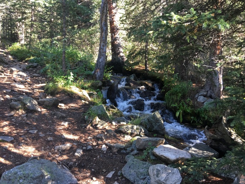
The trail crosses the creek a few times, a couple over well-built bridges, but the crossings over rocks were also a non-issue.
Early creek crossing
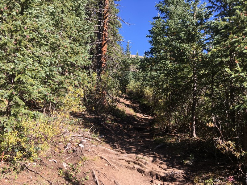
There are a couple of trail junctions and the route follows the main Tanglewood trail as it climbs, gently at first, through the dense woods.
Through the wood we go
The morning air was crisp, and the smell of the forest was just what the doctor had ordered, it seemed, as I made steady progress up the trail.
Trail parallels the creek
Just under an hour after hitting the trail, I got a fleeting first glimpse of a bald ridge, and I pressed on, encouraged by the sight.
Early look at a bald ridge
That turned out to be a false alarm as I was still a thousand vertical feet below treeline and much more meandering through the forest remained. Not to mention more stream crossings...
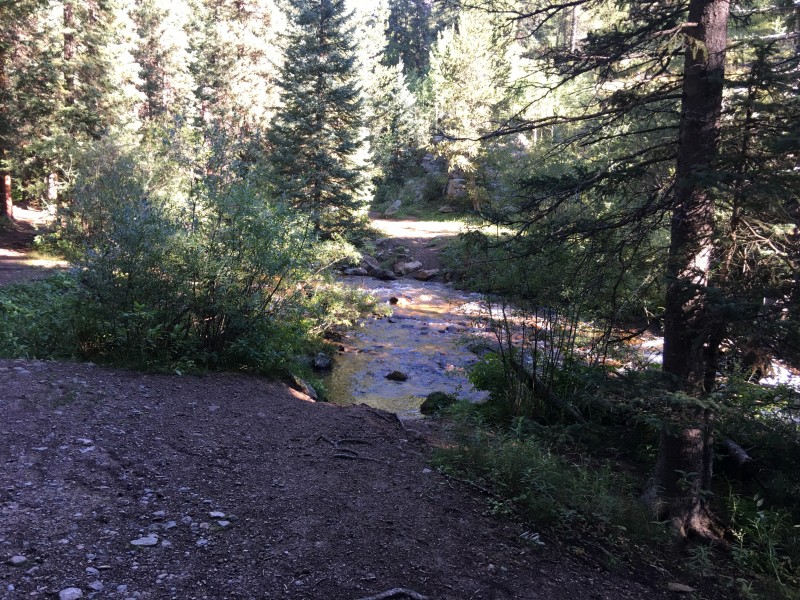
Another creek crossing
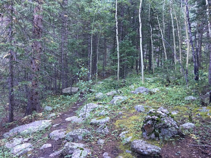
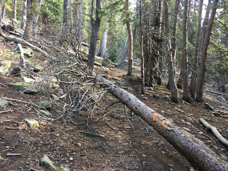
Still very much in the woods
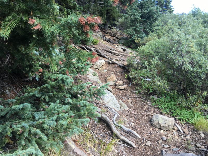
The going then got steeper as the trail switches back through the woods.
Now we're climbing!
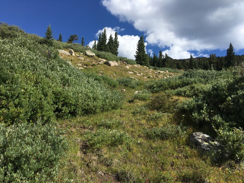
Around 11,300' the trees started to get sparser as expected and I got off trail, necessitating a brief bushwhack through the willows.
Spare the willows!
I can attest that only a few bushes were harmed during this brief phase as I momentarily regained the trail just as the mountain tops started to make their appearance.
Regaining the trail
Approaching the saddle at treeline
The trail ends at a broad saddle at treeline, and I reached this station in a bit under two hours of hiking. To my left (west) lay Rosalie's expansive east ridge.
Looking yonder toward Rosalie...
To the east, an unranked 12er, Pergmatite Points, probably named for the interesting stacks of boulders on its long ridge. I wondered if I should pay a visit to some of these "Pointsâ on my return.
...and the other way toward Pegmatite Points
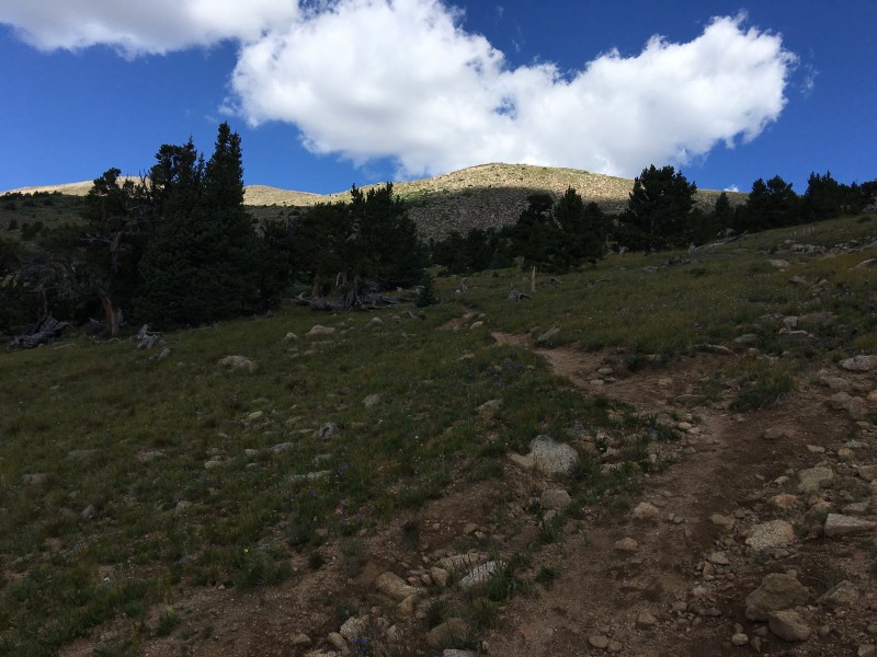
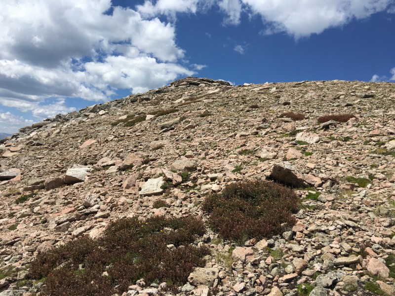
But first, I had to attend to the task at hand. Rosalie's summit is not visible from the saddle and while the ridge is not very steep, I knew it was deceptively long and there was another 1,600 vertical feet that needed to be climbed on that grassy slope.
It's longer than it looks
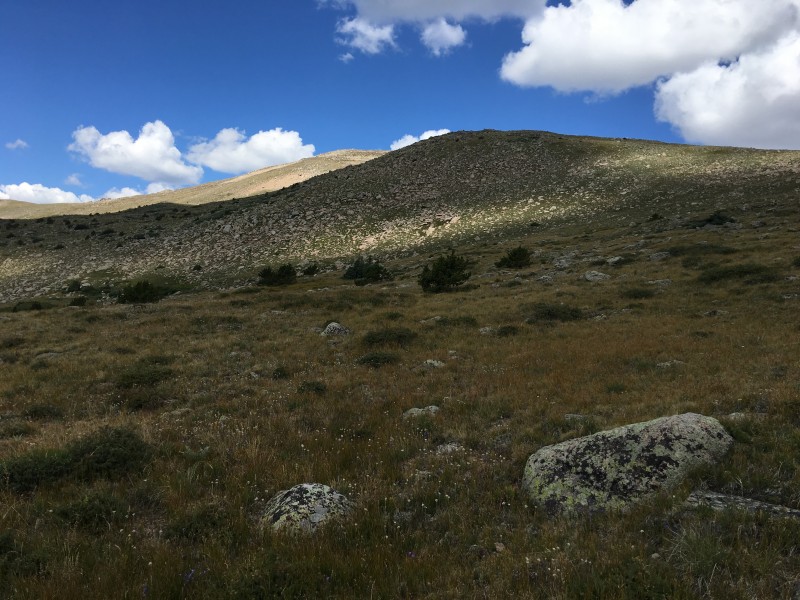
Aiming for the highest point on the ridge, I launched a steady assault on the broad slope. The terrain was easy and posed no issues, allowing me to maintain a pace at least as good as what I'd managed to that point.
Looking down the slope
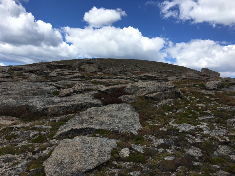
Just above 13,000', the terrain transitions to a sandy âbeachâ before turning back into a mix of tundra and rocks.
Sandy terrain
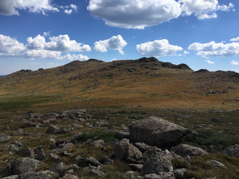
Atop the false summit
Rosalie's false summit is just above 13,400', so I only had another 150 vertical feet to endure before I would be on its true acme. Three hours of steady power hiking had earned me the right to stand on the southernmost 13er in the Mt. Evans Wilderness.
Atop Rosalie - the view toward Evans and Bierstadt
I didn't stop on the highest point of the day for long, as I had two more peaks to climb, not to mention the inevitable re-ascent of the first two. I set my sights on Epaulie and as I squinted down the ridge, I noticed hikers at the saddle.
Hikers at the saddle
It appeared to be a large group and they were making their way up Rosalie. When our paths crossed, I accosted one of them, Dave, and we exchanged notes.
That's Dave making his way up
It turned out they were indeed one group and they had started from the Mt. Evans Road. Rosalie was the only peak on their agenda so their day would be a lot shorter than mine. We parted ways and hoped that our paths would cross soon on this very hike. As I made my way down to the saddle, I realized that the terrain on Epaulie was a lot rockier and its slope steeper than Rosalie's.
Studying the rocky face of Epaulie
Getting closer, I tried to map the best route up its southeast face. The rocks appeared to be solid so I chose to scramble up the steepest section which had big blocky rocks.
Starting the scramble
Good choice, that! The big slabs were stable and made for an easy ascent up the face.
Slabby rocks make for an easy scramble
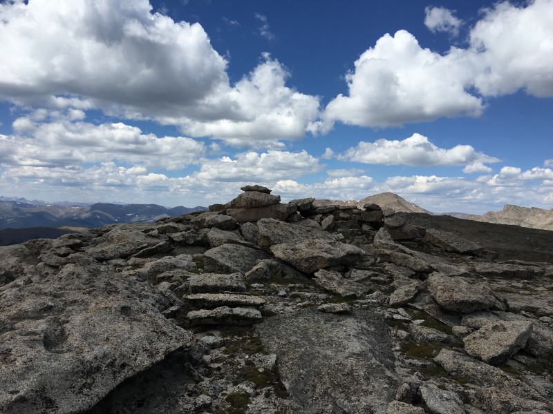
The summit of Epaulie is also decorated by stacks of boulders.
Boulder stack atop Epaulie
I climbed atop the boulders and enjoyed the views but didn't linger. Epaulet Mtn was a short ridge walk and I figured I would get to its summit before assessing the conditions: weather, and my own.
Next up is Epaulet
The saddle between the two is around 13,300' so Epaulet Mtn. doesn't earn a ranking, rising less than the required 300 feet above it. That was not reason enough for me to not stand on its summit, so I went for it.
Pitch on Epaulet
I spent more time on my third summit than I did the preceding ones. The view of Evans, Bierstadt and the Sawtooth were worth the climb to this spot.
Evans, Bierstadt and the Sawtooth
To the west, nestled at the bottom of Bierstadt's cirque was Helms Lake. Ten mile peaks can be seen in the distance.
Helms Lake
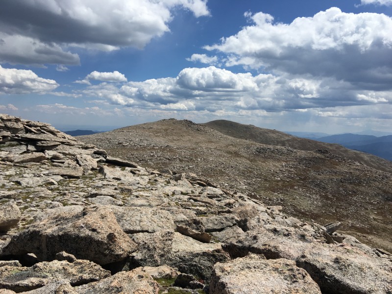
After a short reverie, I surveyed the route back to the first two peaks and wondered if I could skirt the summit of Rosalie on my return.
Looking back at the first two peaks
I retraced my path back to the summit of Epaulie, looking forward to the rocky descent off its southeast face. I then took a slightly different approach on the descent of Epaulie.
Descent off Epaulie
Just as I started the descent, I spotted the hiker I'd met a little while ago, waving at me from the saddle below. I made quick work of the descent and joined my new friend to see how the group had fared on their trip. All had gone well and they were now making their return to the road. I bid them farewell and continued, now aiming to skirt Rosalie's' summit to hiker's right.
Aiming to skirt Rosalie's summit to hiker's right
It wasn't the shortest route, as going left would have put me closer to my ascent route, but it worked. I skirted around the summit and aimed for the saddle that would put me back on the trail. As I headed down the grassy slope to the saddle, I contemplated on the day's work and how rewarding the trip had been. Then it occurred to me that it wouldn't be complete without a visit to the unsung 12er - Pegmatite Points.
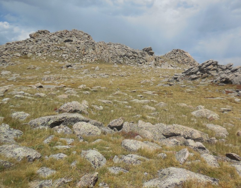
Pegmatite Points looks inviting
The wind had picked up and dark clouds were hovering above the ridge, but the heart wants what it wants! I skirted around the lower part of the ridge and aimed for what I thought was the high point.
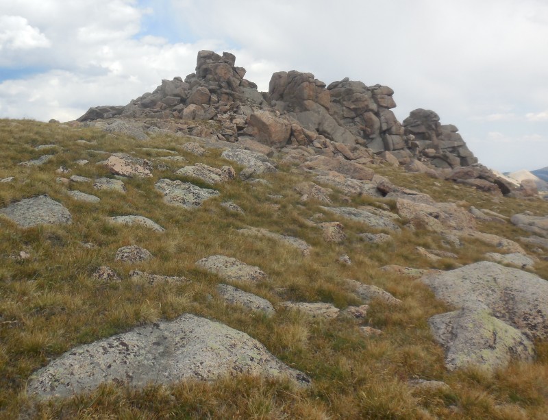
Rocky outcroppings on Pegmatite
It''s one of the "Points" but not the highest
Eagerly I scrambled to the top of the stack, only to realize that the true high point was one that I had skirted en route, and marked by, what else, a cairn.
That's the highest "Point"
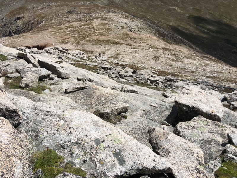
The descent I chose off the boulder stacks put me farther down on the northwest slope, so I sidehilled on the tundra to rejoin the saddle.
Descent off Pegmatite
Sidehilling toward the saddle
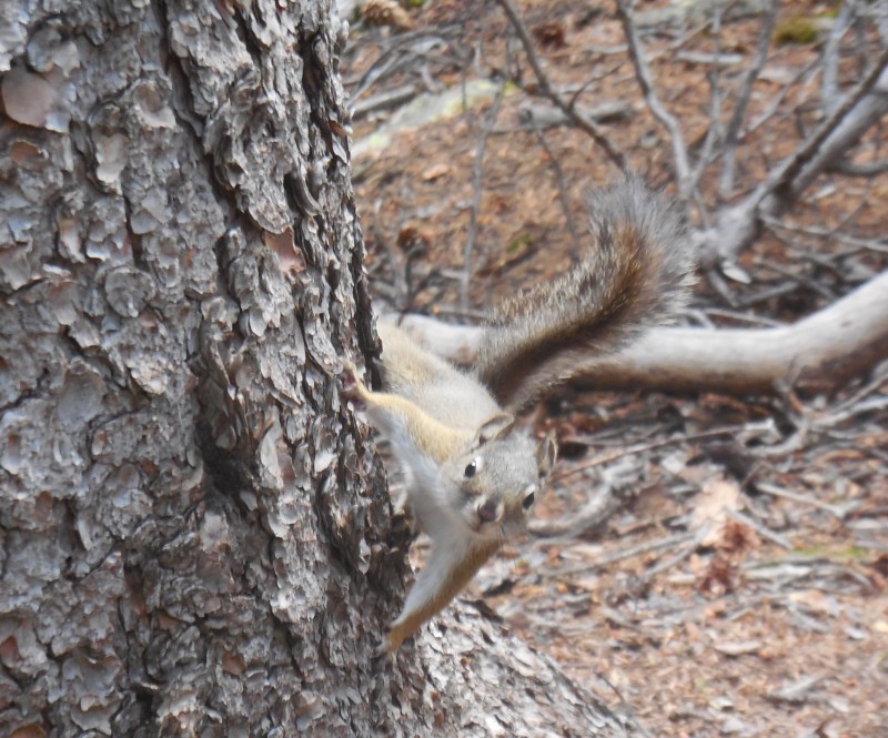
The trip ended up being somewhat longer than I'd anticipated, but the rewards were plenty: three 13ers, a fun ridge traverse, even meeting some folks that shared the same passion. Oh, and let's not forget this guy!
Hey there, curious fella!
But what about the 12er? Ah, that was just the icing on the proverbial cake!
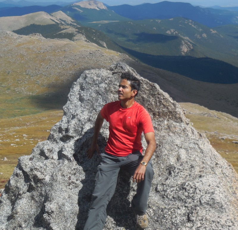
Yours Truly
My GPS Tracks on Google Maps (made from a .GPX file upload):
Awesome pics! What a great wildlife shot, tremendous camera work! Looks like an amazing hike, I definitely want to do this group, route!
Caution: The information contained in this report may not be accurate and should not be the only resource used in preparation for your climb. Failure to have the necessary experience, physical conditioning, supplies or equipment can result in injury or death. 14ers.com and the author(s) of this report provide no warranties, either express or implied, that the information provided is accurate or reliable. By using the information provided, you agree to indemnify and hold harmless 14ers.com and the report author(s) with respect to any claims and demands against them, including any attorney fees and expenses. Please read the 14ers.com Safety and Disclaimer pages for more information.
Please respect private property: 14ers.com supports the rights of private landowners to determine how and by whom their land will be used. In Colorado, it is your responsibility to determine if land is private and to obtain the appropriate permission before entering the property.
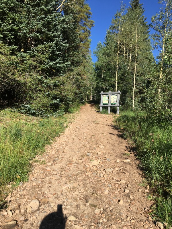


 Tanglewood/Rosalie Trailhead")
 Tanglewood trail")
 Early creek crossing")
 Through the wood we go")
 Trail parallels the creek")
 Early look at a bald ridge")
 Another creek crossing")
 Still very much in the woods")
 Now we're climbing!")
 Spare the willows!")
 Regaining the trail")
 Approaching the saddle at treeline")
 Looking yonder toward Rosalie...")
 ...and the other way toward Pegmatite Points")
 It's longer than it looks")
 Looking down the slope")
 Sandy terrain")
 Atop the false summit")
 Atop Rosalie - the view toward Evans and Bierstadt")
 Hikers at the saddle")
 That's Dave making his way up")
 Studying the rocky face of Epaulie")
 Starting the scramble")
 Slabby rocks make for an easy scramble")
 Boulder stack atop Epaulie")
 Next up is Epaulet")
 Pitch on Epaulet")
 Evans, Bierstadt and the Sawtooth")
 Helms Lake")
 Looking back at the first two peaks")
 Descent off Epaulie")
 Aiming to skirt Rosalie's summit to hiker's right")
 Pegmatite Points looks inviting")
 Rocky outcroppings on Pegmatite")
 It''s one of the")
 That's the highest")
 Descent off Pegmatite")
 Sidehilling toward the saddle")
 Hey there, curious fella!")
 Yours Truly")


