Download Agreement, Release, and Acknowledgement of Risk:
You (the person requesting this file download) fully understand mountain climbing ("Activity") involves risks and dangers of serious bodily injury, including permanent disability, paralysis, and death ("Risks") and you fully accept and assume all such risks and all responsibility for losses, costs, and damages you incur as a result of your participation in this Activity.
You acknowledge that information in the file you have chosen to download may not be accurate and may contain errors. You agree to assume all risks when using this information and agree to release and discharge 14ers.com, 14ers Inc. and the author(s) of such information (collectively, the "Released Parties").
You hereby discharge the Released Parties from all damages, actions, claims and liabilities of any nature, specifically including, but not limited to, damages, actions, claims and liabilities arising from or related to the negligence of the Released Parties. You further agree to indemnify, hold harmless and defend 14ers.com, 14ers Inc. and each of the other Released Parties from and against any loss, damage, liability and expense, including costs and attorney fees, incurred by 14ers.com, 14ers Inc. or any of the other Released Parties as a result of you using information provided on the 14ers.com or 14ers Inc. websites.
You have read this agreement, fully understand its terms and intend it to be a complete and unconditional release of all liability to the greatest extent allowed by law and agree that if any portion of this agreement is held to be invalid the balance, notwithstanding, shall continue in full force and effect.
By clicking "OK" you agree to these terms. If you DO NOT agree, click "Cancel"...
Trailhead: North Fork Clear Creek
Mileage: 9.08
Elevation Gain: 3,535'
Partners: Solo
When I first read Chicago_transplant's TR on these 2 peaks many years ago, I figured I would just do them in reverse, since up climbing is a lot easier than down climbing. So I was a little surprised to see another TR from Piper14er in my pre trip research. Though he went without remembering the details, so also went from Pt 13,232 to Pt 13,295 and found the cliff. Mennoguy mentioned that he went the opposite way (the way I went), but was 'happy to get back onto easy terrain'. This didn't exactly instill confidence that I would like this hidden class 4 ledge system that exists. But I was willing to give it a go, if conditions allowed.
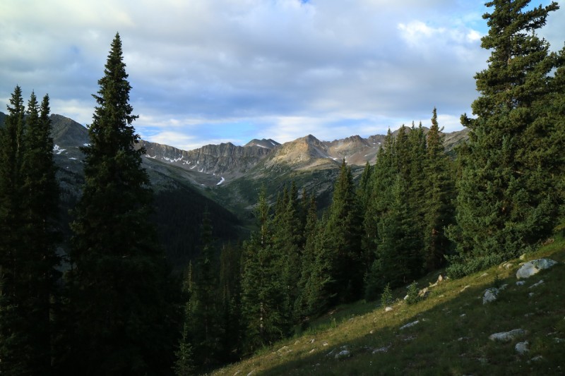
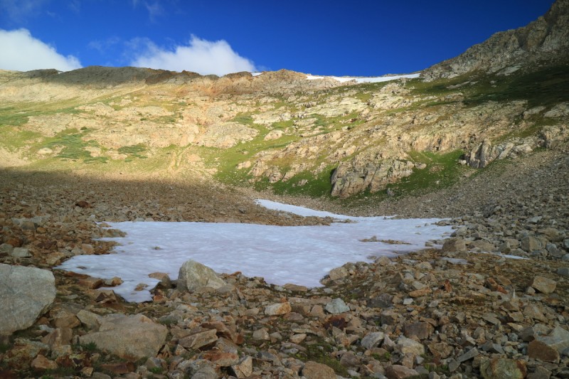
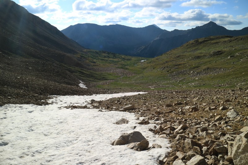
Day of, I was still planning to find the ledge system and document it. With the early start, I could tell there were some clouds, but they also weren't too bad. The trail up the drainage is very nice, and I was almost sad to leave it to head up to the upper valley below 13,295. I left just as a bunch of cairns were showing up along the trail. I had thought the trail petered out well before I wanted to exit it, but maybe hunters or others have extended the trail as shown on the maps I have.
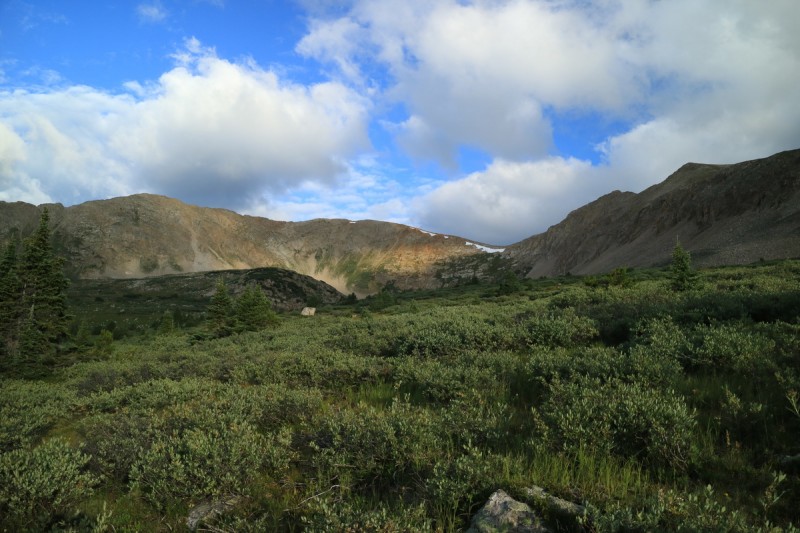
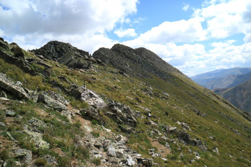
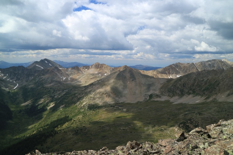
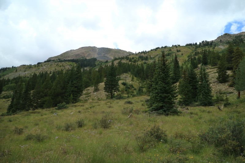
Above the trees, I get a first view of the terrain ahead. Looks pretty easy, as even the willows are small and easy to navigate. A young deer was curious about my presence, until I moved towards it. Then it bounced away.
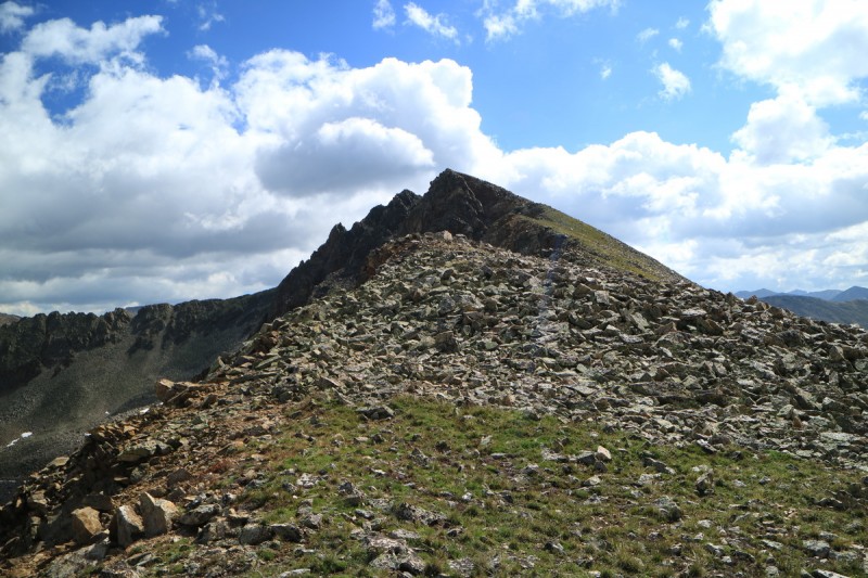
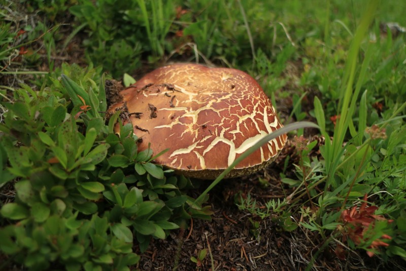
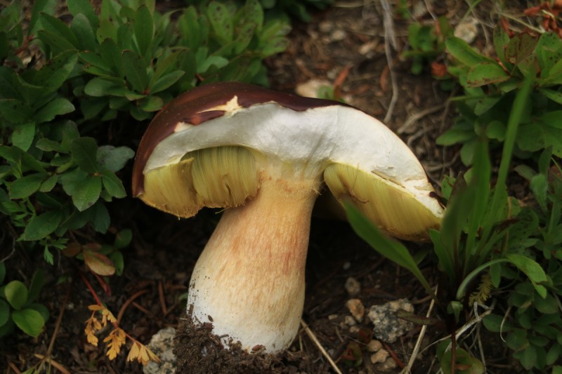
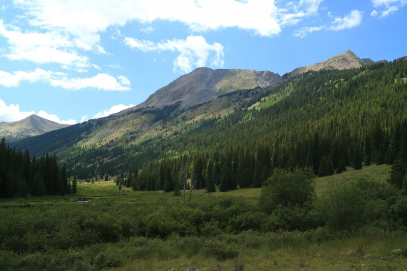
Shrooms Looking west Exiting out of the trees 13,295 beyond the mini willows Like some weird angler fish The saddle to 13,295
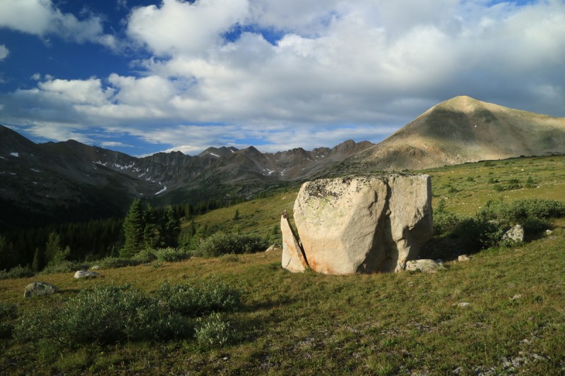
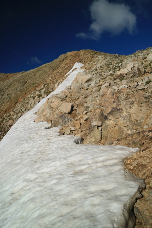
Getting closer to the saddle, I had to hang a bit to the right to avoid the marshy center of the stream valley. The snow was still solid as I walked up on it. A little strange for mid August, but I'll take it! From there the ascent to the saddle is reasonably steep, but all on grass until the very end near the left over cornice snow. A short talus/tundra hop to the first summit of the day.
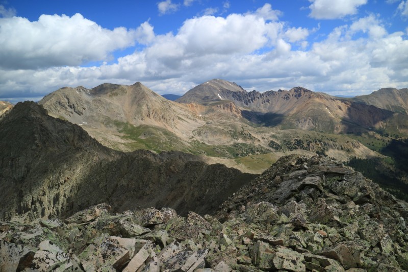
Approaching the saddle Looking back down valley Ridge cornice still there Looking over to 13,232 B Summit pano
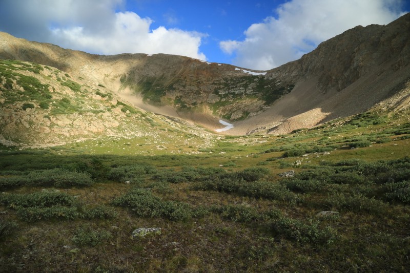
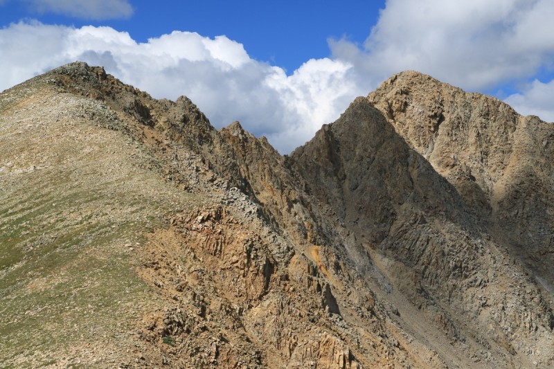
I had wanted to sit on the summit for longer than I did, but the very cold wind was chilling me thoroughly. Is it fall already? I layer up and contemplate the ridge notch. On the ascent I had noted the easy work around options, just in case. The longer I sat there contemplating, the more cold I was getting. I decided that with the cold wind, which had already frozen my gloved fingers, and the thickening clouds, it may be faster to just run around and back up to the ridge on the other side. Did I mention I was freezing? I don't make good decisions when I'm shivering.
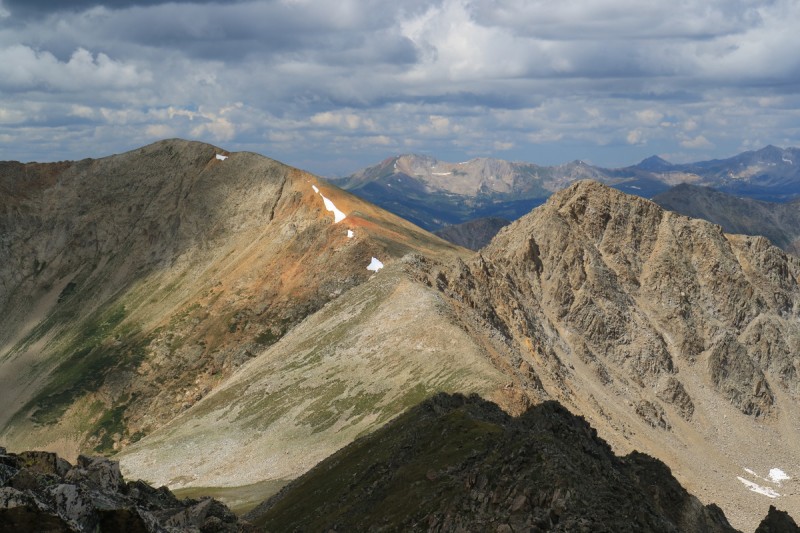
Zoom of the notch in ridge Someone had an accident...
So I quickly made my descent down to the valley below, and hug the east side of the valley on the grass. I thought about contouring on the talus, as I made my way across, but figured I could make better time by moving around on the grass to the other side. My talus crossing speed is half that of easy grass, or worse. So for me, dropping a little elevation was faster than trying to keep it. My reascend point had the least amount of loose talus to go up, and that was a good thing, as it was very much one step up, partial step sliding back down again. Another reason to go the "easy long way".
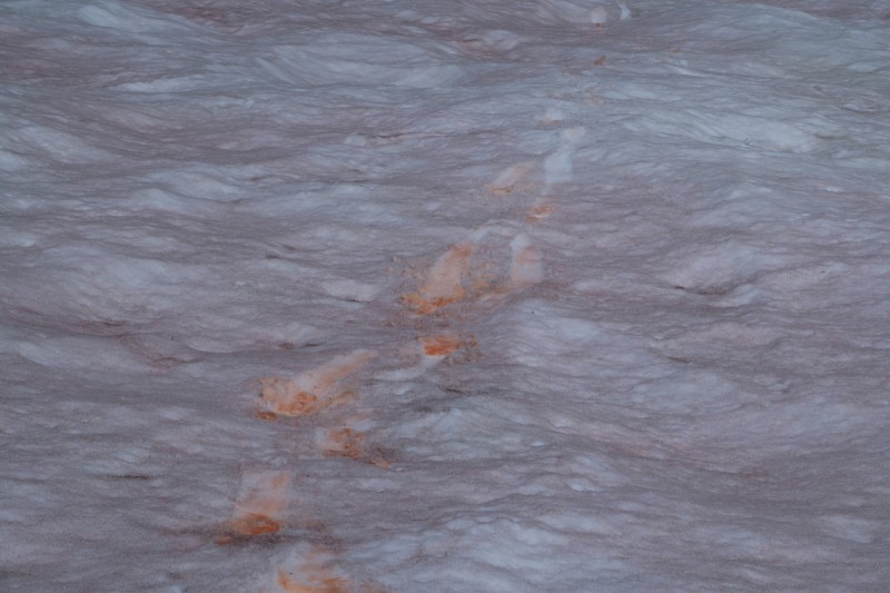
Red snow tracks Back up to the ridge, the easiest way
Back up on the grassy shoulder, the walk up to the other saddle was very easy. My end around only took 52 minutes, and could very well be faster than having to navigate and route find on the ridge. So pick your poison! Doing the hike in reverse, would mean descending the loose talus, which is much easier too.
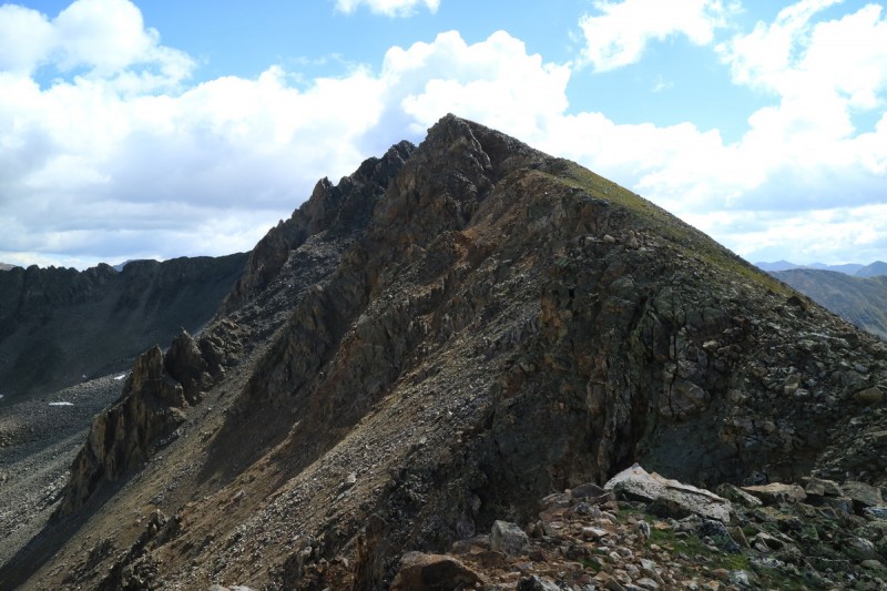
Once back on the ridge, it was a simple talus hop to the summit.
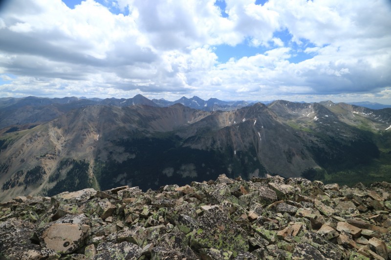
Pt 13,232 B Back on the ridge, and looking at next summit Zoom of ridge notch Remainder of ridge to summit La Plata through the rough ridges Looking over at 13,295 Almost to the next summit La Plata and Sayres BM
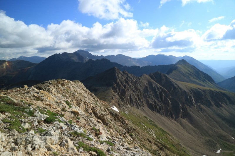
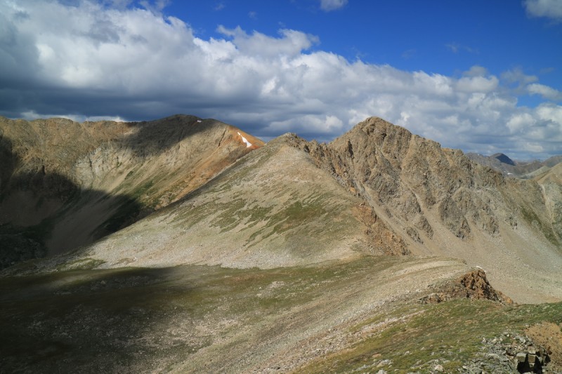
Spent a little more time on this summit, as the wind seemed to have eased up a bit, and I wasn't getting cold as fast as on the last peak. Some great views of all the surrounding 13ers I've done is past years. Plenty of fond memories!
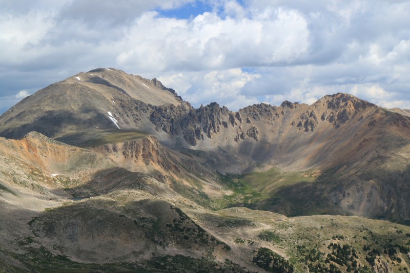
Summit Pano La Plata zoom 13295 Grizzly to Jenkins ridge from a few years ago The Virginia skyline The valley home
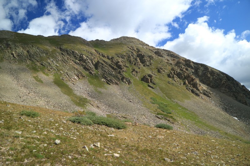
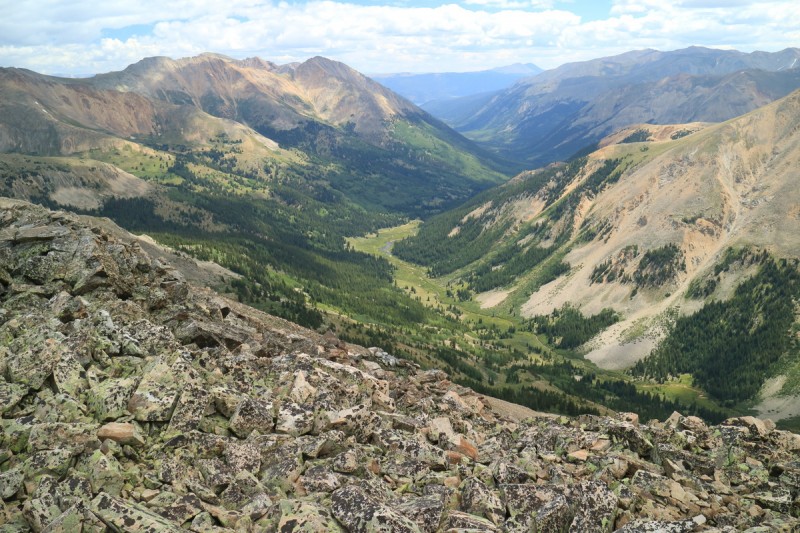
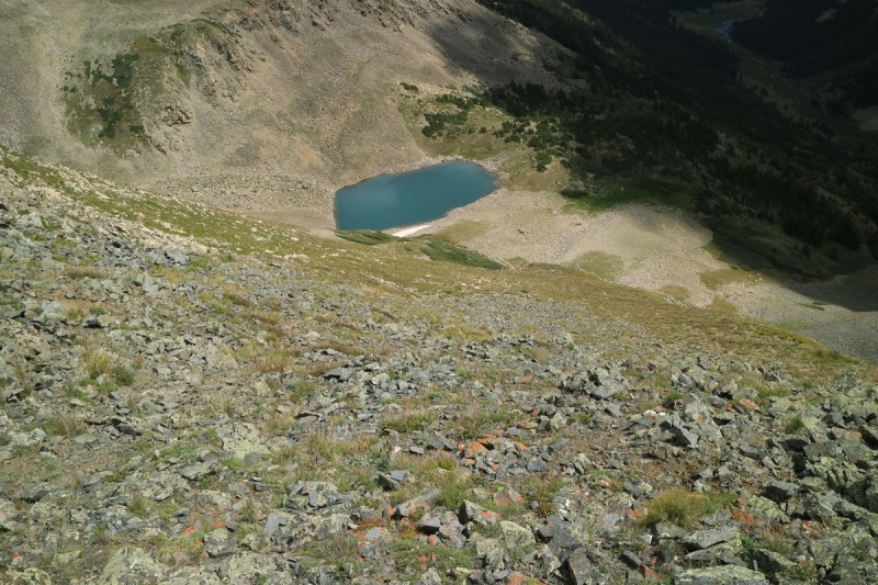
As I descended the ridge, I was quite pleased to find a grassy, but steep slope to descend back down to the valley below. From above, near the summit, the options looked quite bleak! The descent went quickly, and even the slope down to the trail below wasn't too overgrown, except by large flowers in a few places. Once back on the trail, the exit was quick!
The steep descent Drop to the lake A look back up at the steep grassy slope The second grassy slope down to the trail A look up valley from the trail head
My GPS Tracks on Google Maps (made from a .GPX file upload):
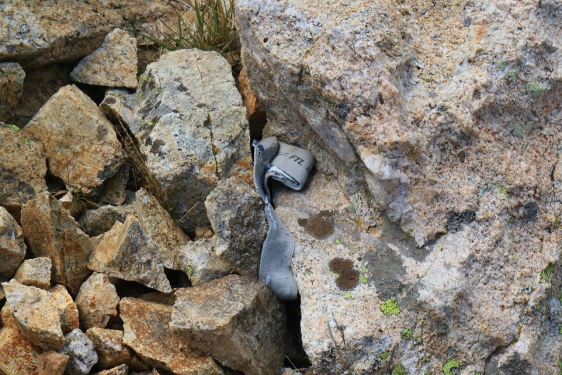
I had to go back to look at this one to remember the spot, and you know...
and not my brand :lol:
Caution: The information contained in this report may not be accurate and should not be the only resource used in preparation for your climb. Failure to have the necessary experience, physical conditioning, supplies or equipment can result in injury or death. 14ers.com and the author(s) of this report provide no warranties, either express or implied, that the information provided is accurate or reliable. By using the information provided, you agree to indemnify and hold harmless 14ers.com and the report author(s) with respect to any claims and demands against them, including any attorney fees and expenses. Please read the 14ers.com Safety and Disclaimer pages for more information.
Please respect private property: 14ers.com supports the rights of private landowners to determine how and by whom their land will be used. In Colorado, it is your responsibility to determine if land is private and to obtain the appropriate permission before entering the property.