| Report Type | Full |
| Peak(s) |
Wetterhorn Peak - 14,021 feet |
| Date Posted | 08/25/2014 |
| Date Climbed | 08/13/2014 |
| Author | EZSide |
| Additional Members | shorty_n |
| P.S. # 50 |
|---|
|
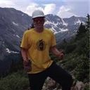
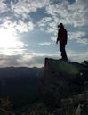
Statistics: Wetterhorn climb - 8 miles RT and 3,600' vert. - 2wd. Trailhead @3:50 AM, Summit @ 8:00 AM, Back to 2wd TH @ 11:30AM. Little concern with measuring anything else. Lots of miles driven. Other hikes hiked. Gerry Roach lists Wetterhorn as 14er #50. (No offense to Bill or other lists.) This is the 3rd trip and the 5th summit of my 50th year. The foundations of this climb were laid in the prior two trips; a 50th birthday trip last September (Fall Legends - Redcloud and Uncompahgre) and a return on my brother's 60th birthday in June (Bones of Winter - Handies and Sherman). JB had worked two jobs all summer in addition to staying in shape, and asked to head west. I also had stayed in shape and we only needed time. My criteria was that we first make room for a brief family outing, then he allow 5 days or more of open time. He would bookend a week off with a Saturday triathlon and a bike race the Sunday after we returned. While he was running the tri, his brother and I would go fishing, then the family would spend and evening and morning camping and fishing, and we would go our separate ways. I am always looking for ways to train and prepare, so my week's adventure would begin with a day of slippery rock practice . . . 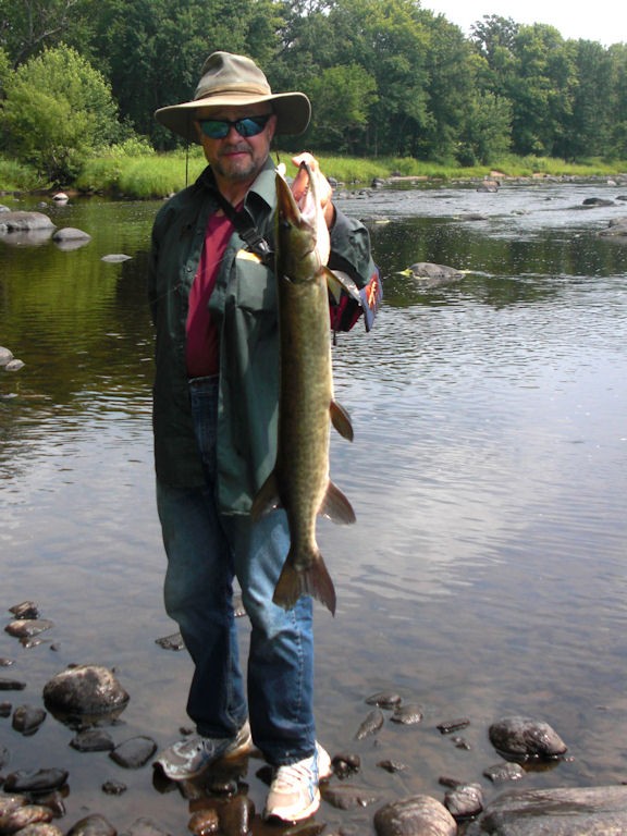 By Sunday PM we were westbound from our Central WI camp, with the rest of the family headed home. Monday PM found JB and I camped over the north fork of Henson Creek just above Capitol City. The weather had been mostly clear and dry, but the monsoon was supposed to set up again. 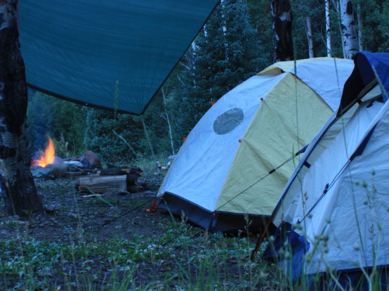 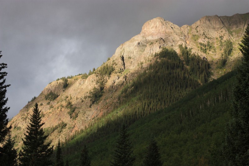 Tuesday was spent bumming about, with JB amazed at the ability of our Element (the E.) as we drove to Engineer Pass. The vantage offered a nice preview of Wetterhorn. On the way out we visited Whitmore Falls. We also monitored the building weather. 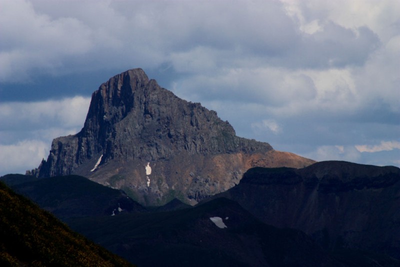 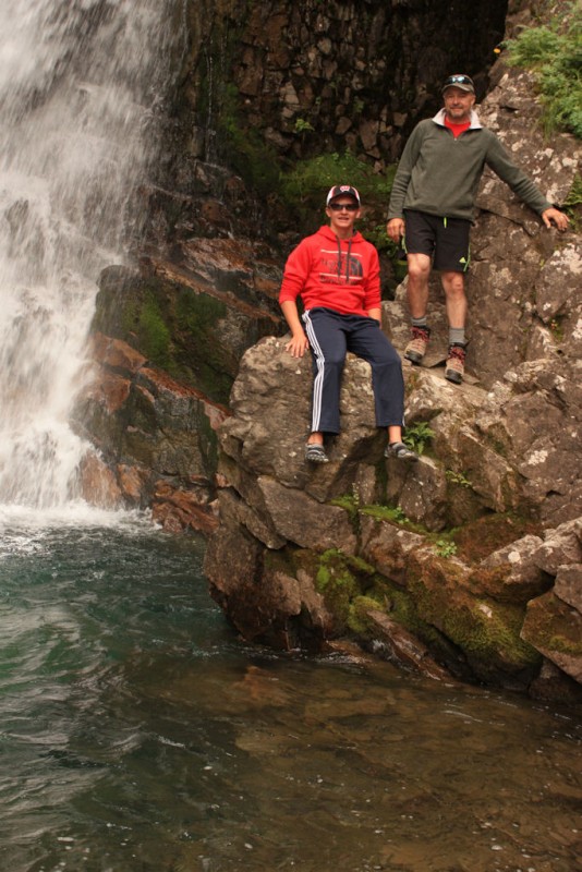 Success is found in each moment; each step. Fulfillment awaits at the summit. By Tuesday evening the trip was a success. The Climb. "This route is a good introduction to the harder fourteeners for hikers who have climbed several easy fourteeners and are ready to advance." Gerry Roach on the Southeast Ridge Route (#27.4) in Colorado's Fourteeners. Hey, that's us! This would be our first real Class 3 climb on what I understood to be a great ridge. With the monsoon building, our plan was to get an early start and make the weather stop us as opposed to guessing about conditions. We had the coffee hot by 3:00 AM, and we drove up Matterhorn Creek Road to the 2WD trailhead. We perhaps could have made the 4WD upper trailhead, but it would have been a challenge with the E. and we didn't wish to think that hard at 3:30 AM. After my June Wild Life experience in the American Basin, when a marmot not only chewed non-vital wires but rode to Lake City under the hood, we took the time to string chicken wire around the E. just in case. We were on the trail at 3:50 AM and were soon stopping to take moonlight pictures of the basin. Other picture breaks included one for the first light on the upper reaches of Wetterhorn. 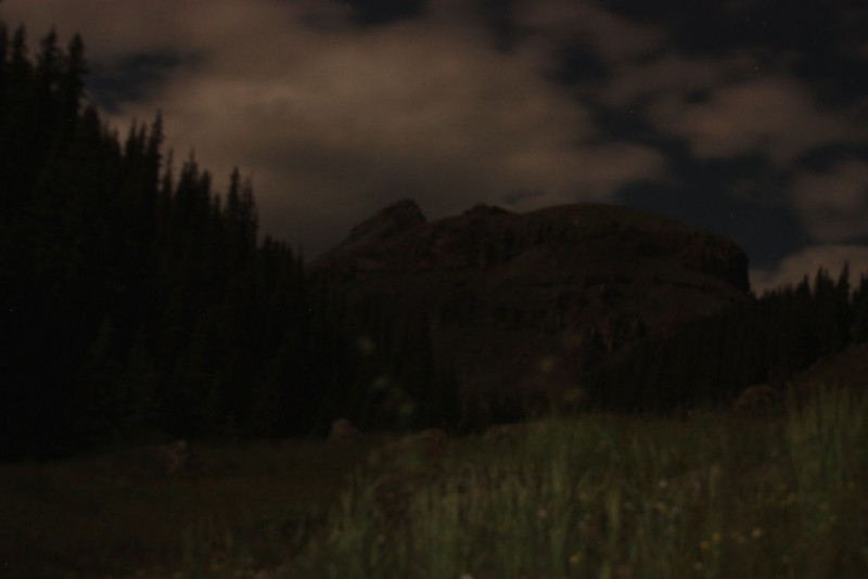 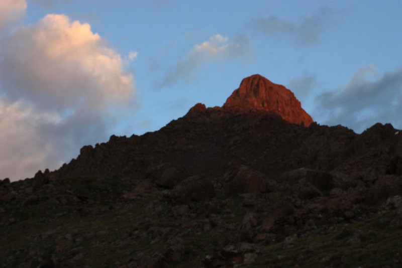 The climb itself proved very straightforward for us. We would keep one eye on the weather but we didn't have any real concern. (The following pictures are roughly in route order though many were taken on the way down.) Just prior to the start of the ridge we were passed by two young men who had designs on the Wetterhorn and Uncompahgre 2-fer. They would pass us again on their way out and indicated the clouds had them reconsidering.  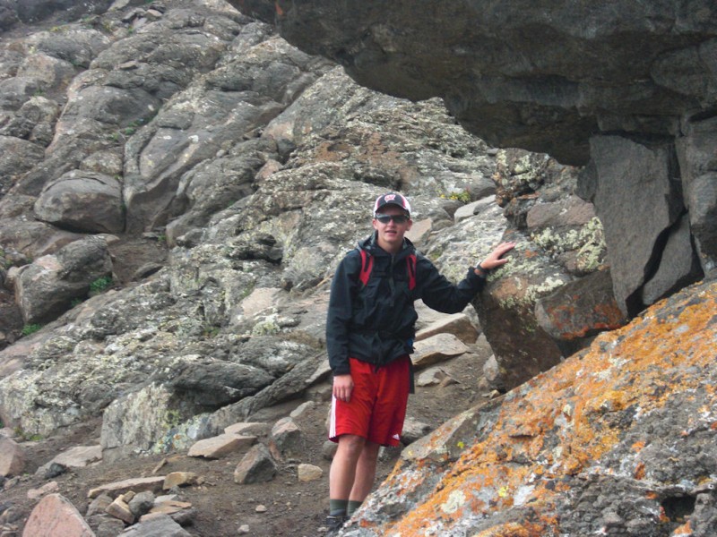 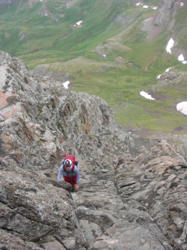 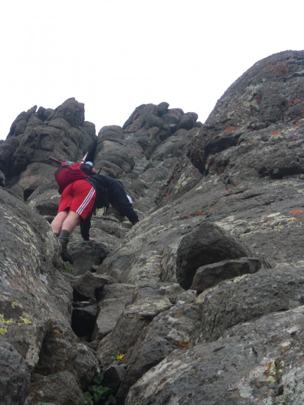 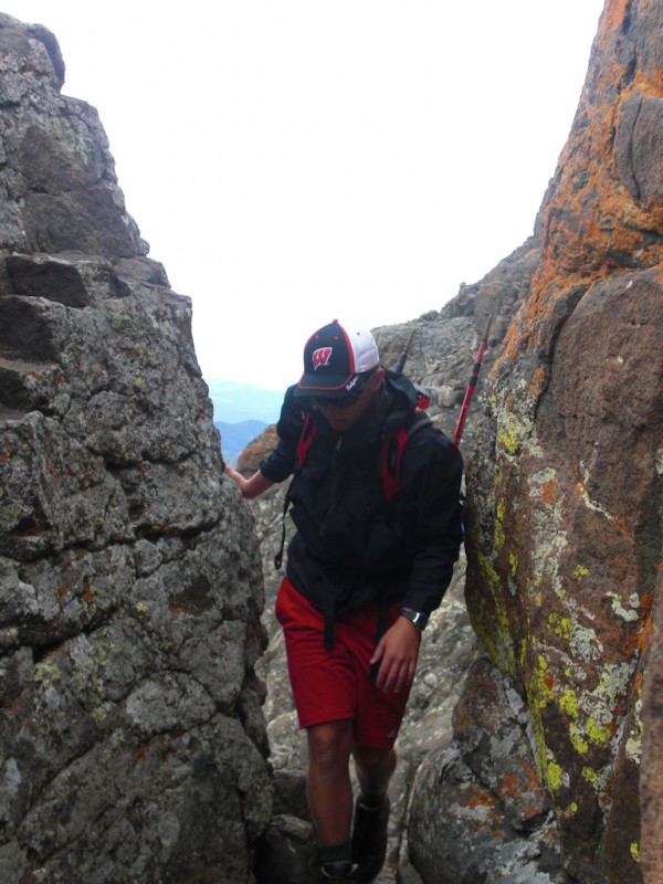   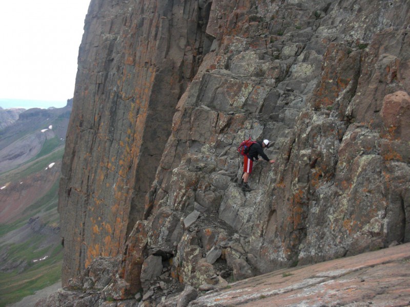 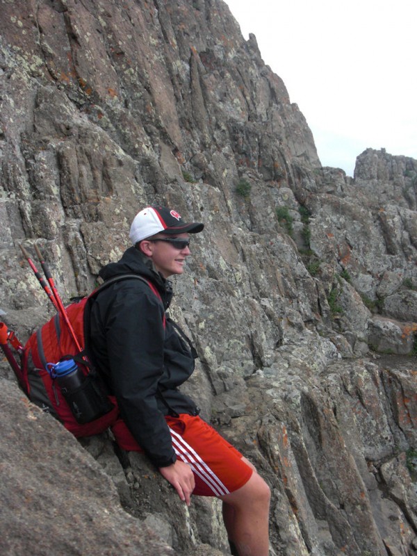 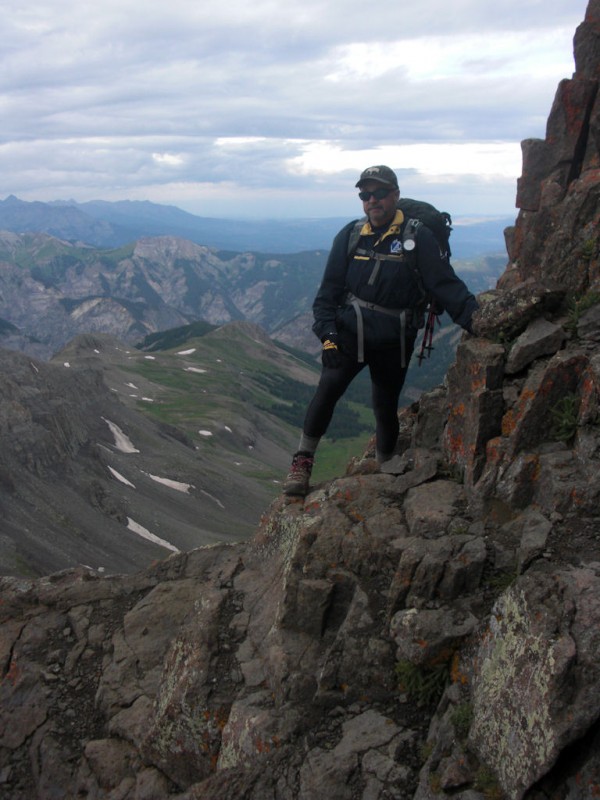 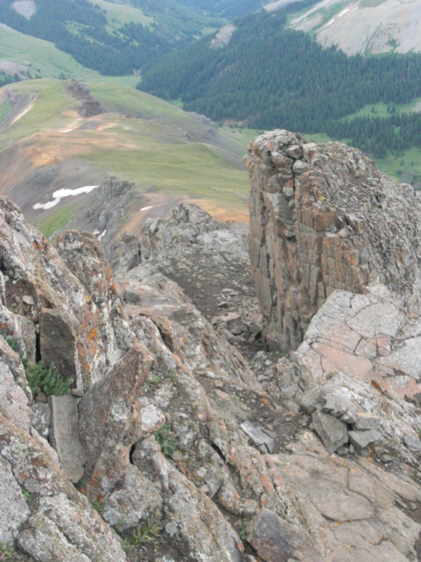 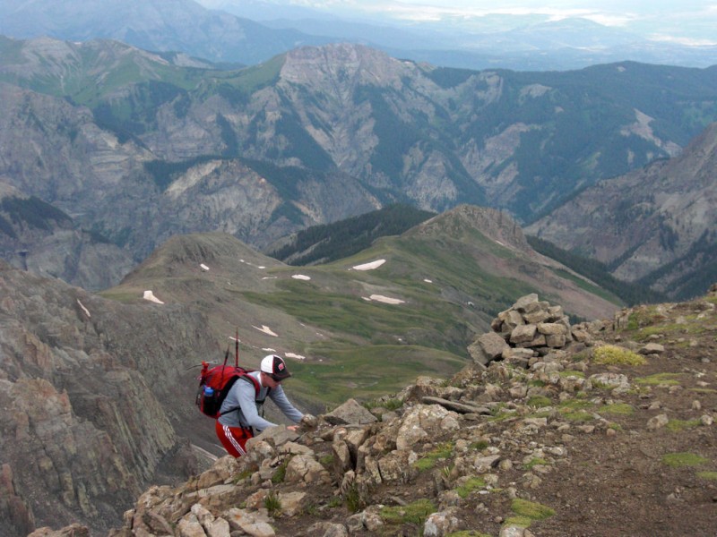 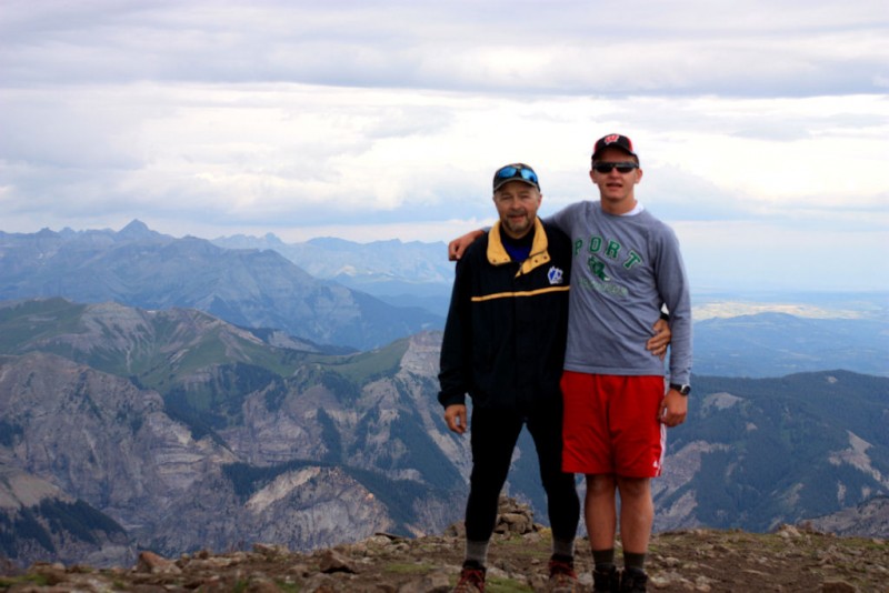 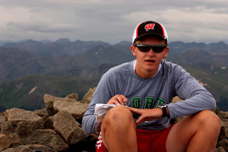  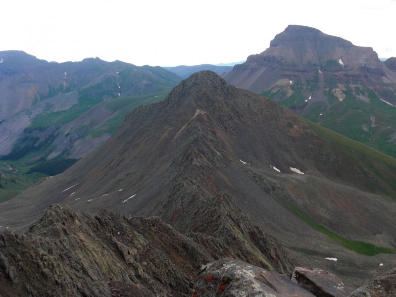 The way down was nearly as enjoyable as the route up. We would pass an old gentleman, then another Father / Son team who were on their way up. The cloud deck gradually lowered and eventually would settle to enclose the summit and prow behind us. As we dropped off the ridge, the clouds thickened and showers picked up. The columbines and blue bells were in full bloom. 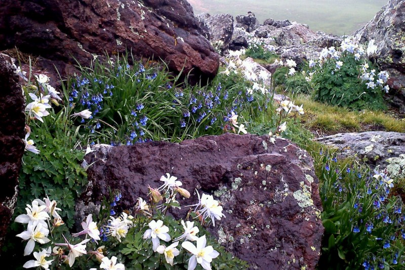 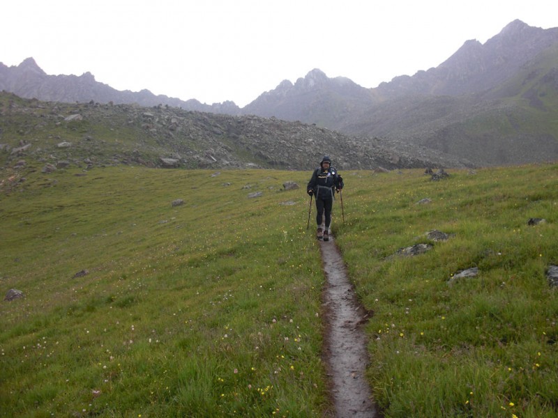 Leaves of three - leave them be - (there's more for me!) I grew up with the caution of poison ivy - 'leaves of three' but I also delighted in what I knew as 'wild' strawberries. They were numerous in the mid and lower basin, and packed with flavor!  Back at the upper trailhead at 11 AM - I prefer the classic look as opposed to the new trailhead signs. (To my brother Kelly - no more wise cracks about the lycra!) - We were back at the lower trailhead and packed up by 11:40 AM for a 7 hr 50 min round trip including numerous photo and berry breaks. Perfect. 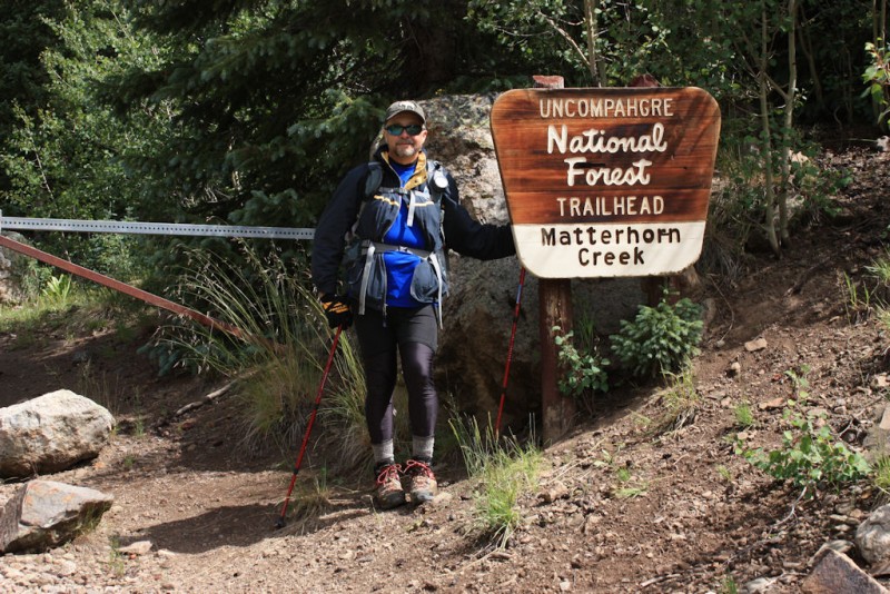 This would be a one-summit trip. Thursday we were packed up and wandering north through central Colorado, finding abundant wildlife and beautiful vistas to enjoy. 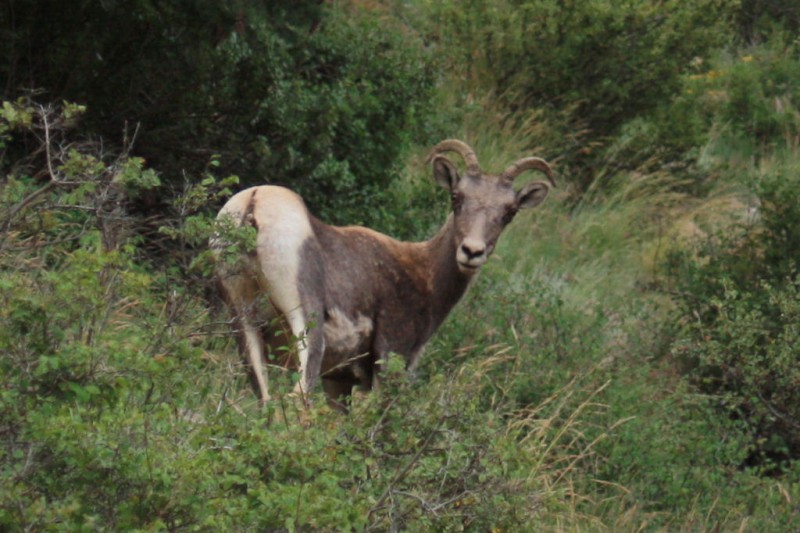 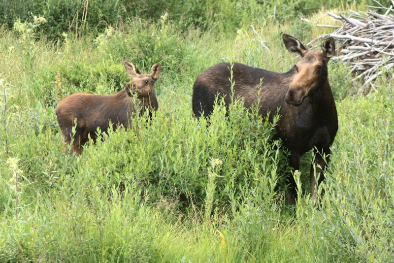  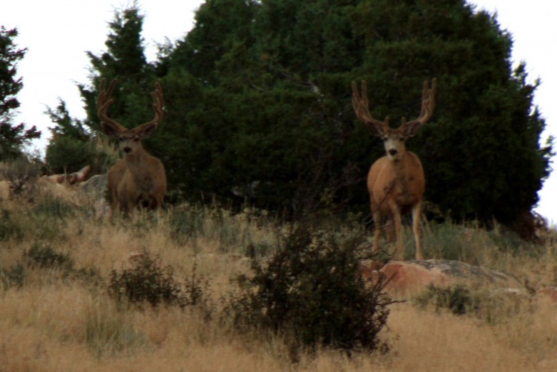 We stopped for pictures of the sky and weather north of Walden where we talked with a local rancher We were looking at Delany Butte, named after another rancher. We talked about his home and ours, and how we love the West but how I'd never want to loose the specialness inherent in visiting somewhere. He said "Well, no where has it all; if it did it'd be too crowded." Solid rancher wisdom for visitors. Evening would find us having dinner in Wyoming on the shore of Lewis Lake in the shadow of Medicine Bow Peak, a place we love.  Friday held a tour of the UW campus at Laramie, and a long drive home. My week's adventure was completed with an impromptu decision to join JB on the Ganther Race the Lake bike race on Sunday, which is 90 miles around Lake Winnebago in WI. The race date had established a fixed end point of the trip and I'd considered it in the past, so this year was the year to try. Just as the prior two trips, this trip was not without its musings and reflections about life - but it seemed more like a trip to go climbing. With the solid Wetterhorn summit this series of trips marking my 50 years on this great earth feels complete. On deck and moving up is a winter attempt of Sunshine or La Plata. Missing from the original plan of this series was Longs; also Challenger and Kit Carson, but I think now in the running for my first Sangre de Cristo summits is a stay at Colony Lakes with Humboldt and Crestone Peak / Needle. And it will soon be time to look at the Elks. The clarity of destination and timing has again disappeared; I only know I'll return and I'm approaching a readiness for anything. Thanks to Stephen and Marcia for a nice family outing to send us on our way, and thanks to JB for being a great travel companion. Also thanks to Stephen and JB for some of the photos. As always thanks to Bill M. for this wonderful space on the web which is so much more than just a source of information. Thanks for reading. - Bill Thumbnails for uploaded photos (click to open slideshow):
|
| Comments or Questions | ||||||
|---|---|---|---|---|---|---|
|
Caution: The information contained in this report may not be accurate and should not be the only resource used in preparation for your climb. Failure to have the necessary experience, physical conditioning, supplies or equipment can result in injury or death. 14ers.com and the author(s) of this report provide no warranties, either express or implied, that the information provided is accurate or reliable. By using the information provided, you agree to indemnify and hold harmless 14ers.com and the report author(s) with respect to any claims and demands against them, including any attorney fees and expenses. Please read the 14ers.com Safety and Disclaimer pages for more information.
Please respect private property: 14ers.com supports the rights of private landowners to determine how and by whom their land will be used. In Colorado, it is your responsibility to determine if land is private and to obtain the appropriate permission before entering the property.