Day 1
Approach from Needleton via NoName creek to Camp near 11.0k
Mileage: ~9 miles
Elevation gain/loss: ~3.7k/0.7k
Time: ~7 hours 45 min
Date: July 3, 2014
We caught the 9am train from Durango and got to the already familiar Needleton station sometime around 11.30 am. Soon it was time to start hiking with the heavy packs.
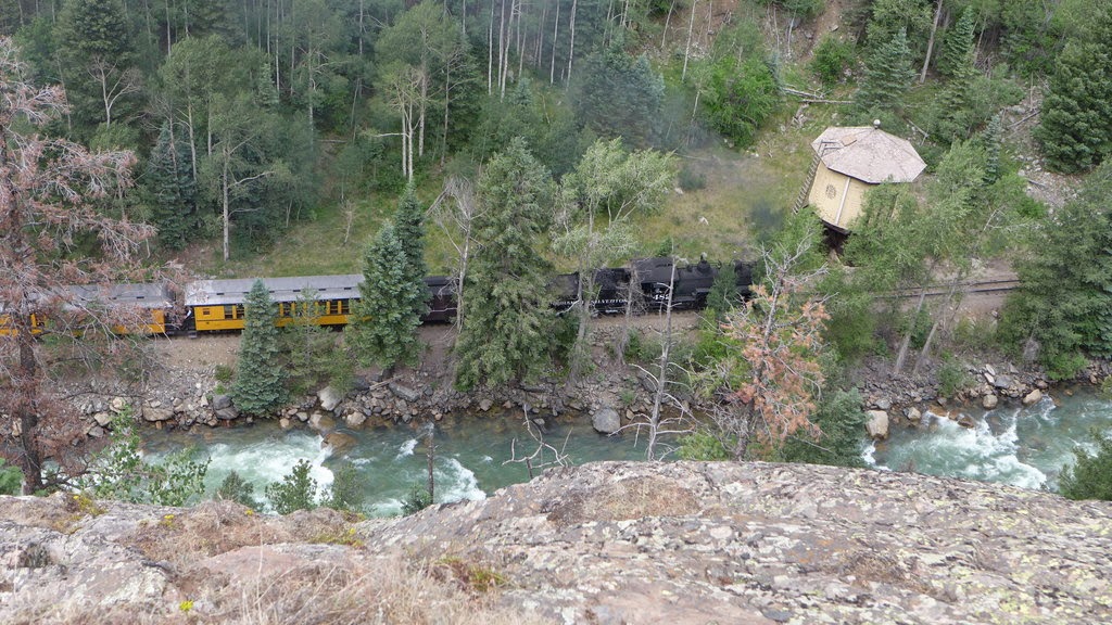
Train approaching Needleton water tank (as seen from Watertank hill). This place is awesome!
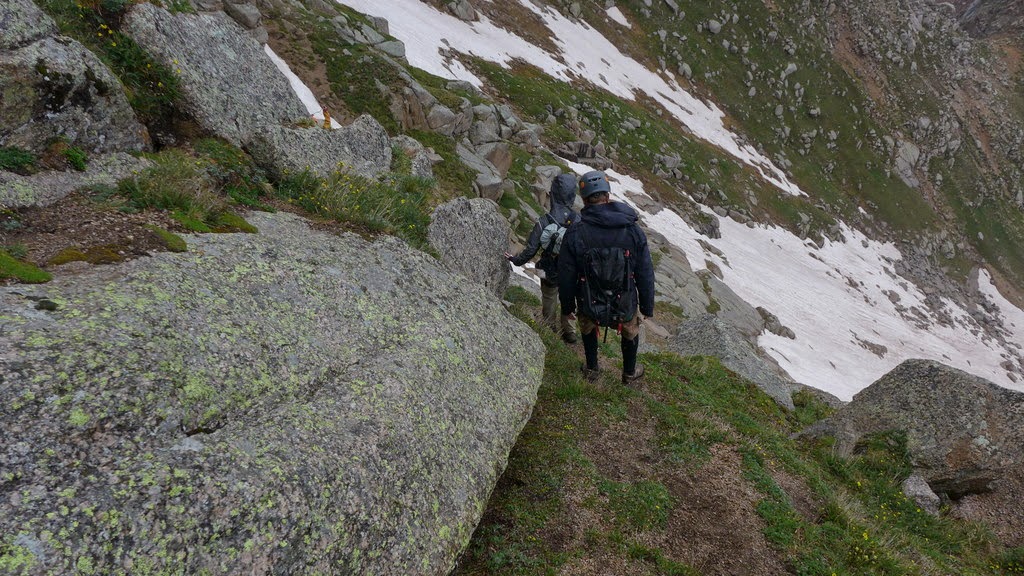
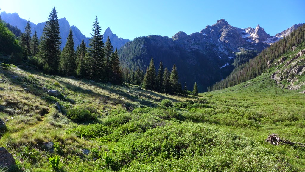
We knew the approach was going to be brutal - the question was - how brutal it can be. Well, it was pretty tedious. We strongly recommend staying low until after NoName creek crossing and only afterwards start heading uphill. We made a mistake of following the GPS track that made us start gaining elevation early and we regretted it. We made a much better route choice on the way down.
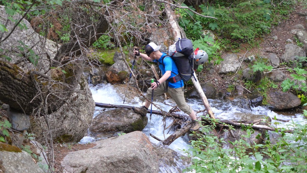
Paul crosses Ruby creek
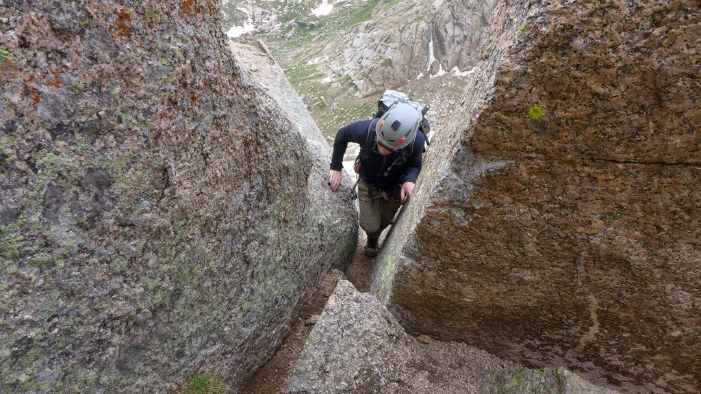
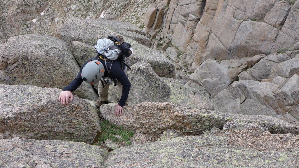
There is tons of deadfall on the approach, which obscures the trail and makes route finding complicated, at times.

Paul climbs over yet another downed tree

Looking for trail
Eventually we persevered and miraculously, some six miles later, the Jagged cabin finally appeared in front of us.

Jagged cabin
along with this view:
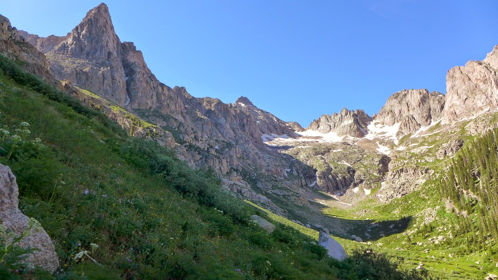
We pushed along another mile or so with another uphill and set up camp at the confluence of NoName and Sunlight creeks near 11,060 ft, at the foot of the Knife Point. Since the approach was rather lengthy and tiring, we all agreed to take it easy the next day, in order to give us all time to recover. John (13ers) was coming from Chicago basin via Twin Thumbs pass and was supposed to find our camp in NoName, but we didn't see him that night.
Day 2
Knife Point from Camp
Mileage: ~3 miles
Difficulty: Class 2-3
Elevation gain: ~2.2k
Time: ~4 hours
Date: July 4, 2014
We woke up around 6am to see another team of 3 depart for the attempt of Jagged. We were hoping for a lighter day today. Since Paul was constantly taking pictures of Knife Point (understandably), we decided to indulge him by climbing it, and after all, it is a really cool looking peak.
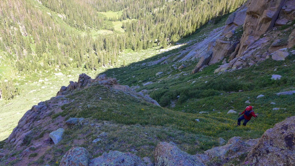
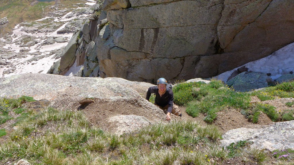
After leisurely breakfast, we set off at a late hour of 9am. Thankfully, the approach couldn't be any shorter. The goal was to avoid the willows and bushwhack as much as possible, and I believe, we succeeded at that. We picked a faint trail from the camp, but promptly lost it due to deadfall. Instead, we hiked up a rocky gully to gain some elevation, and then did an ascending traverse below the cliffs that constitute peak 10. Eventually, we started ascending the steep grass that brought us to the Peak 10-Knife Point saddle.
Ascending steep grass
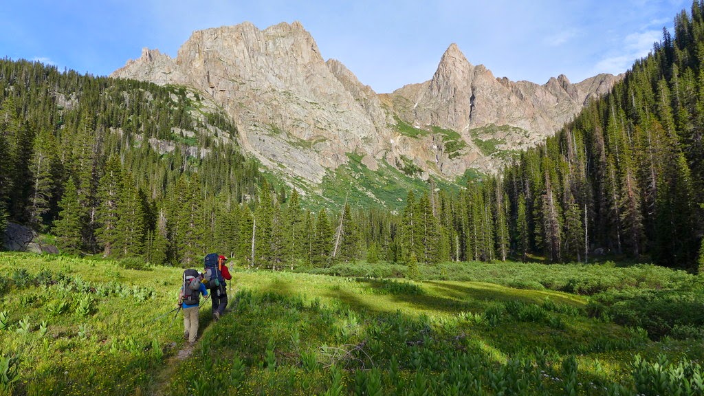
Traversing the gullies below the cliffs - our campsite is seen in the meadow in the valley below
From the saddle, it was a Class 2-3 hike to the summit of Knife Point.

Paul is heading up Knife Point
The summit views were some of the nicest of any 13er I've been on
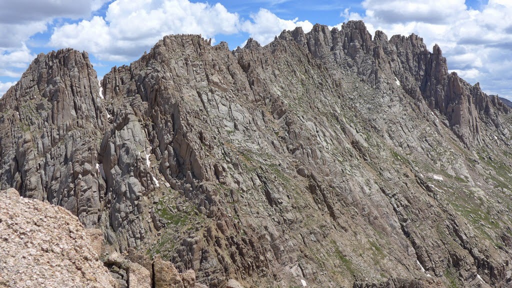
South face of Jagged - we looked for any signs of the other group that was attempting the peak that day. We later learned they cut their attempt short as the weather was moving in

Sunlight

Grenadiers
Heading down
The weather started to move in around noon, so it was time to head down. We reached the camp sometime after 1pm with plenty of time to eat, rest and nap in preparation for the big day. John (13ers), who traversed from Chicago basin via Twin Thumbs pass, has finally found our campsite and our group was set.
Day 3
Jagged & Peak Six
Mileage: ~9 miles
Elevation gain: ~4.7k (for both peaks)
Time: ~13 hours (for both peaks)
Jagged ascent: 5 hours from camp to summit, 2.5 hours descent from summit back to the pass
Gear: Two 8mm 30m ropes, webbing, quicklinks, ice axes, approach shoes (La Sportiva Boulder X, 5.10 Guide Tennies)
Date: July 5, 2014
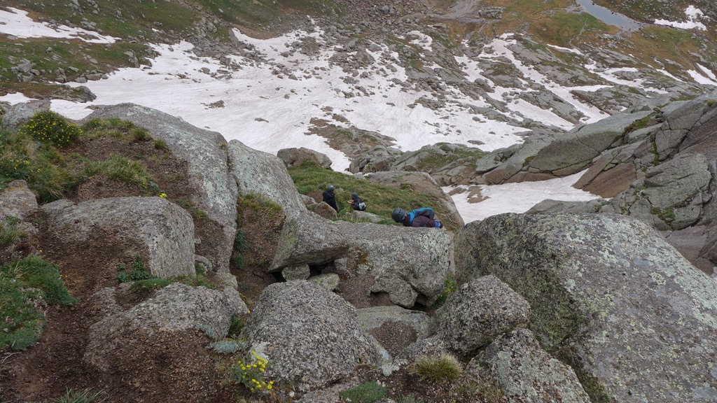
We woke up at 4.30-5am, and started hiking just before 6am. Despite fairly late start, we were making decent time on the approach to the Jagged pass. We all knew there will be some snow on the north face - the question was - how much?
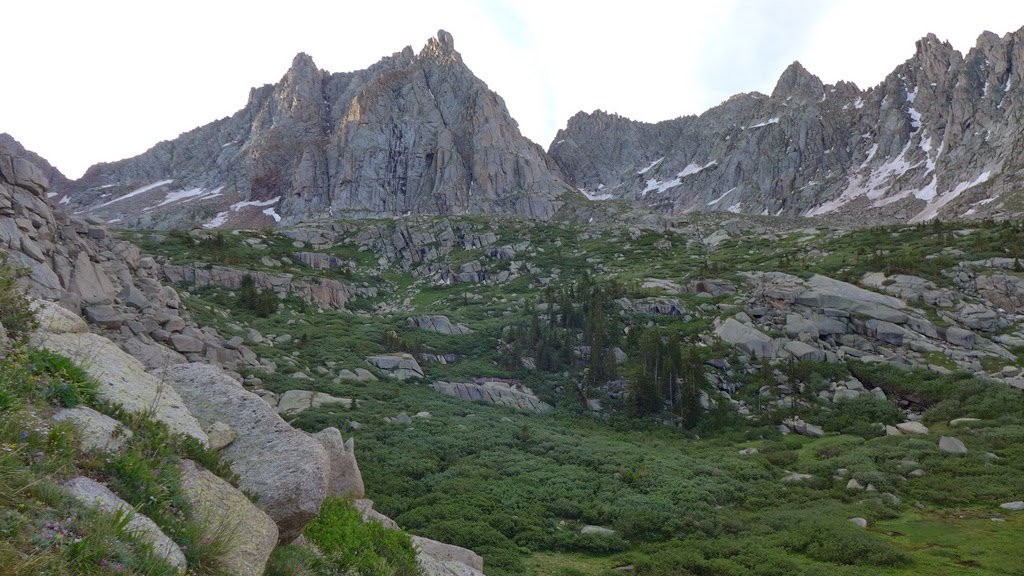
The upper basin

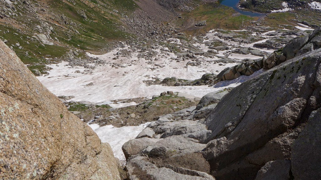
Jagged pass ~13.1k
The reality took us a bit by surprise - we didn't expect to see that much snow on the Jagged face. Quite understandably, John was starting to express doubts in the success of the mission. But at least we were going to give it a shot! Paul noted that the 1st crux doesn't appear to be snow covered, so we pressed on.


Bottom of the 1st crux
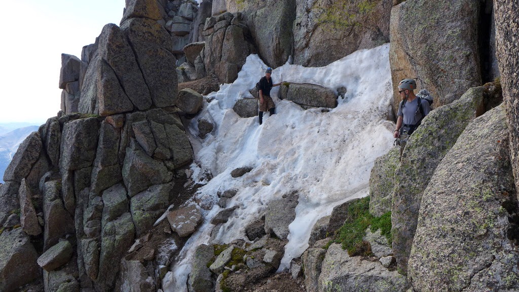
Once we got to the bottom of the 1st crux, Paul declared that it was soloable. I was comfortable with the lower half, but couldn't really see the upper portion, so I asked him to take the rope just in case. The "standard" route, I believe, is the chimney to the left, but the running water was blocking the passage, forcing us to scramble up the rocks on the right side. There was a bouldery move with good handholds but almost no feet, so at that point I asked Paul to drop me the rope. While I waited, John scrambled right past me. Good thing - I had some time to take the photos (with one hand, with other hand firmly jammed in a crack). At the same time, another group of 3 (Kevin, Karen and Leslie) appeared at the bottom of the 1st pitch. Our group had to keep moving to avoid creating the bottleneck on the route.

Leviathan and Vallecito
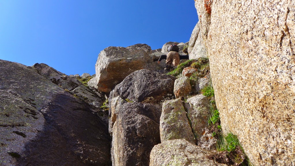
John scrambles up on the right side
Looking down
After tying in, I made the few remaining moves and joined the guys at the top of the 1st crux. By now, the mood and outlook has improved drastically - we were going for it!
The next section was to scramble up steep grassy ledges.
John had never previously thought grass can be used as a hold (neither did Paul or I)
The route parallels the couloir for some time. With that much snow still in the couloir, it could have been a snow climb.


Couloir
To get to the 2nd crux, we had to cross a fairly steep gully with some ice in it. We soloed it on the way in, but protected it on the way back.

Paul and John crossing the snow gully
Don't look down
We pretty much agreed this was the crux for the whole route. We didn't have crampons, and ice axes were fairly useless as the snow was too soft. It was a no-fall zone.

2nd crux. All three of us scrambled up it.
The other group at the steep snow gully crossing.

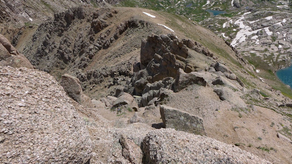
As seen from the top of 2nd crux
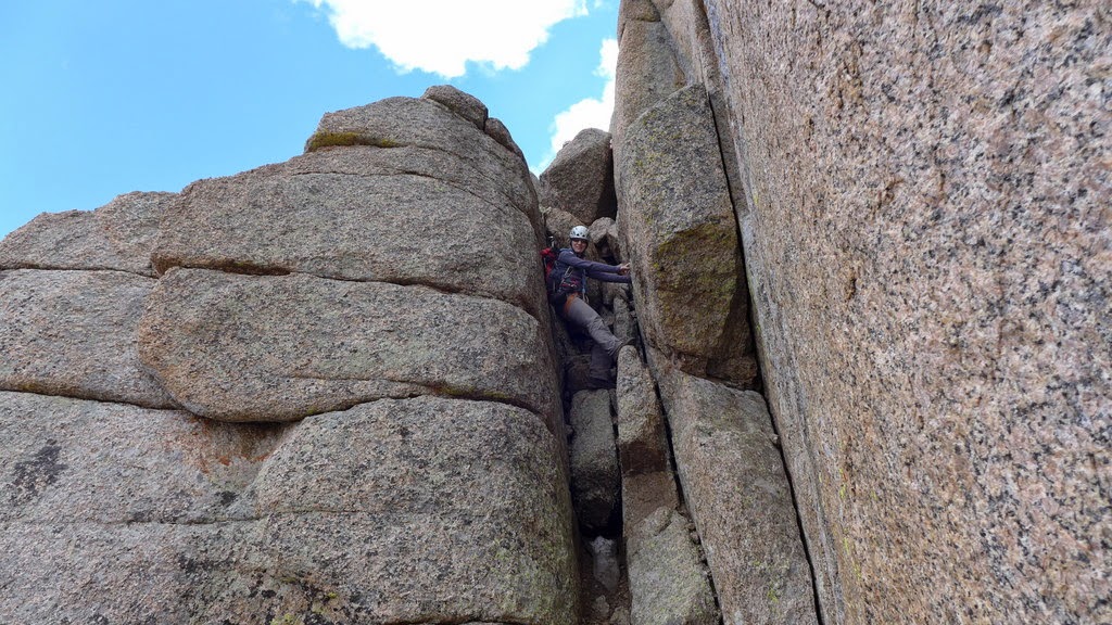
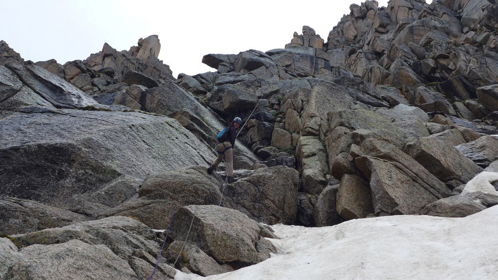
A few more scrambly moves and we were at the bottom of the 3rd crux on the North face. Same drill as with the 1st crux. Paul declared it soloable, John did the same and I got the rope about half way, just in time as the moves grew more airy and holds less plentiful. Nevertheless, we were at the notch and it was about time to check out the airy south face of Jagged.

Paul on the south face

Chicago basin, Knife point and Pigeon & Turret group

Paul downclimbs to the airy ledge
and then coaches me and John through the tight spot

Teamwork at its best
After the airy climbing, Class 3-4 chimney came as a relief - and was a lot of fun. We scrambled up knowing the summit should be pretty close.
Natalie in the chimney
Couple of more airy moves and the summit was ours, if only for a few minutes, at about 11am.


Team on the summit - Paul, John, Natalie
The register was soaking wet and there were no entries since late August of 2013. Of course, sometimes parties don't sign the register.

We didn't write anything on this page 
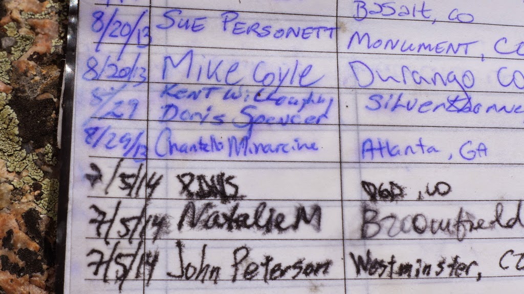
First entry in 2014
With the adrenalin rush and excitement of reaching the summit, we almost forgot about the weather, which was moving in rapidly at that point. We wished we could have stayed on the summit a little longer, but it was time to go.

Grenadiers!
About 50 feet below the summit we ran into the 2nd group, and wished them success. After tagging the summit, they would catch up to us soon.
Paul upclimbs from the airy ledge

Near-constant exposure

Paul and John on the ledges
Paul downclimbs to the notch

Weather is fast approaching
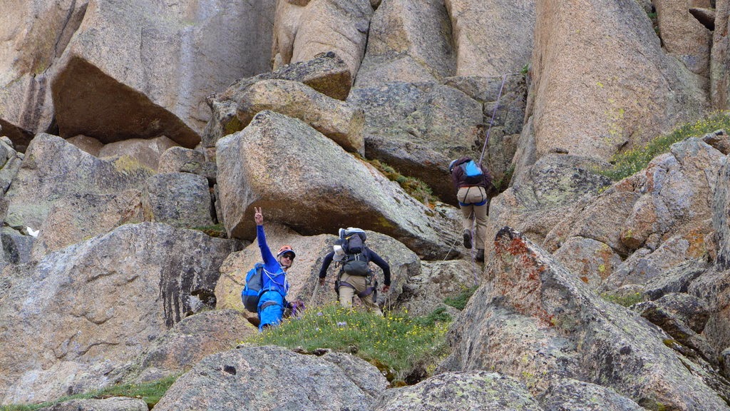
Weather finally caught up to us at the top of the 3rd crux as we were setting up the rappel (~11.50am). So did the group of Kevin, Karen and Leslie. They also had a 30m rope. The decision to tie two ropes together came quickly and we descended together as a group.
Kevin, Paul and Leslie on the rappel

Kevin sets the rappel at the 2nd crux as the group downclimbs

Kevin crosses the snow gully
The group downclimbs the grassy ledges
Paul & John on the descent

Paul is getting ready to rappel the 1st crux
Leslie on the rappel

The group on terra firma (almost)
It was a great pleasure to share the mountain with a fine group of folks that day - fast, courteous and competent. I was very impressed how well we all worked together and of course, combining two ropes on the descent worked out great for both of our teams. Roughly two hours after leaving the summit we were back at the pass.
Peak Six
Party: solo
Time: ~5 hours
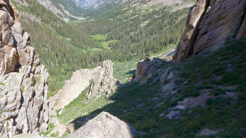
It was cold, rainy and windy at the pass, so we started descending back towards the camp. I was hoping the weather would improve though. Around 2pm the rain stopped and I thought I got a window for another peak. After saying good-byes and giving my ETA for arrival back at the camp, I peeled away from the group and started heading up towards Peak 6 (Leviathan really looked appealing to me, but soaking wet slabs were a no-go).

Monsoon season in Weminuche
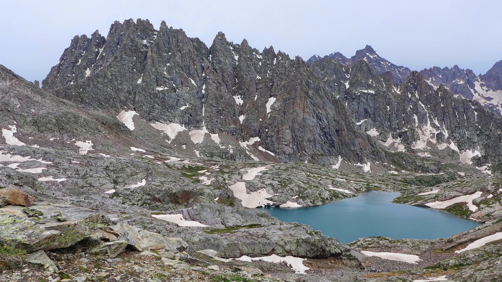
After some easy scrambling I arrived at the lake at the bottom of Peak 6. After some deliberation about the route I went on the left side of the lake towards the saddle between Peaks 5 & 6.
Looking back at Jagged

Heading up the ridge to Peak 6
I found that staying just below the top of the ridge worked just fine, but the ascent was tedious.

Summit of Peak 6 ~4pm
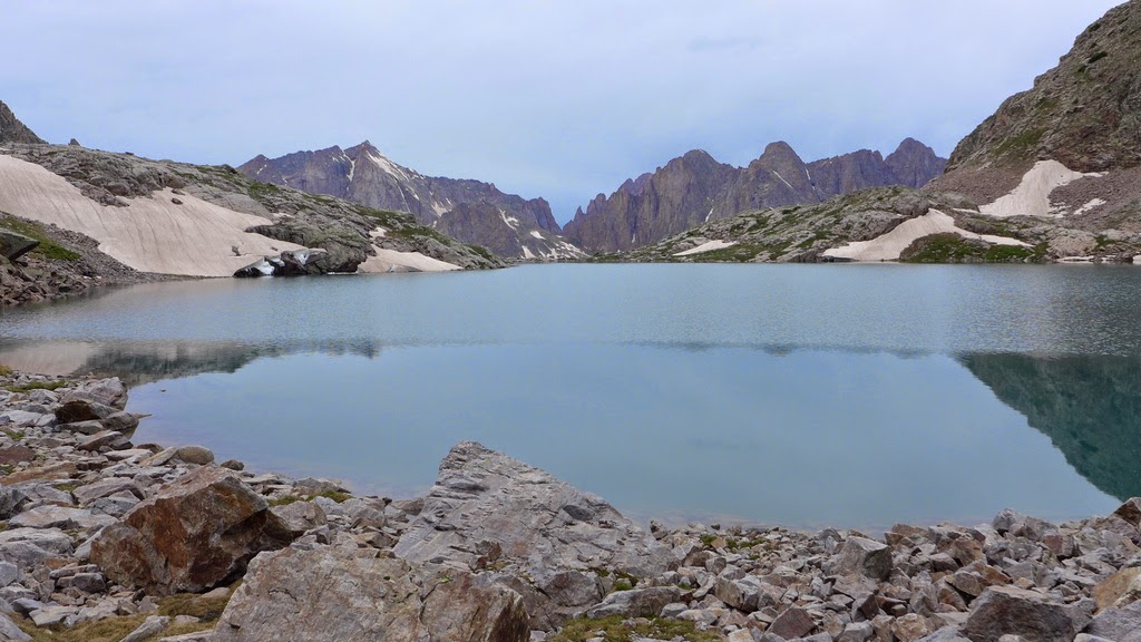
The weather held up so far with no rain, but I couldn't tell with any degree of confidence that it's not going to start raining again in a few minutes. So I decided to head back to camp. But first, I wanted to spend some time at the lake. Sometimes I feel that some of us (myself included) are in such a rush to reach a summit and head back that we don't get to spend much time to enjoy the surroundings. At the expense of another peak, I decided just to hang out by the lake and explore.

The lake
I descended some solid slabs that my grippy 5.10 approach shoes absolutely loved. The scenery was very nice.


I don't necessary recommend my descent route from Peak 6 unless one likes extra credit scrambling. As I was about 10 minutes away from the camp, the skies opened up. It was nice to have an extra pair of dry socks and pants back at the camp, where I arrived around 7pm.

Sunset rainbow on Knife Point
Day 4
Deproach to Needleton
Mileage: ~8.5 miles
Elevation loss/gain: ~3.3k/0.5k
Time: ~5 hours 45 min
Date: July 6, 2014
Next morning, we said good-bye to our gorgeous surroundings and left the camp around 8am, with plenty of time before the train. After multiple stops we made the trek back to Needleton. Another excellent adventure on the books. Until next time.


Gates to the paradise
p.s. More photos are here & here
My GPS Tracks on Google Maps (made from a .GPX file upload):
|