Approach from Zapata Falls TH
Mileage: ~13 miles
Elevation gain: ~6.0k
Time: ~13 hours (including an hour stop at the Zapata Falls on the way back)
Crew: Natalie (nkan02) and Jason (jdorje)
Date: June 29, 2014
With the ski season effectively over, it was time to tackle some drier Centennials. California has been on my radar for a while and once Jason mentioned Zapata Falls TH, I was sold. Although meaning longer approach and more vertical than the usual route from the Huerfano side, it allowed us to check out 3 new drainages. With the good forecast, we left the TH at a leasurly time of 6.40am.

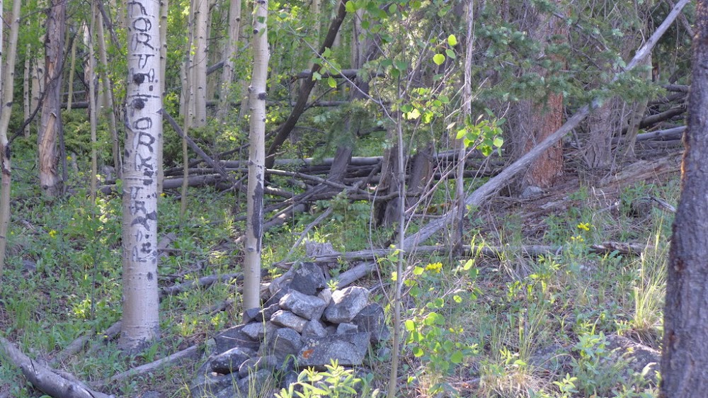
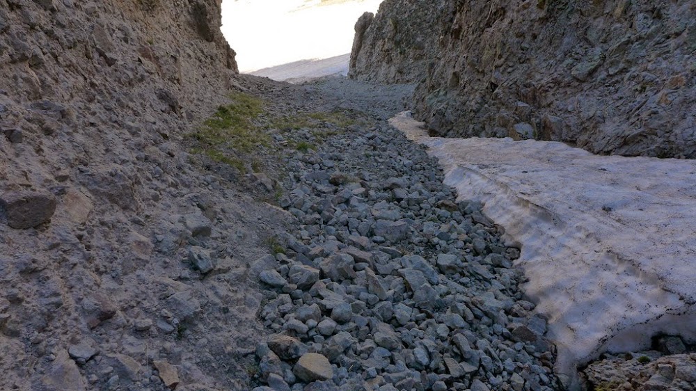
We followed the Zapata Falls trail for a couple of miles, but then took a left turn into North Fork trail - the turn-off is clearly marked by a cairn and the name of the drainage is seen carved into a tree.
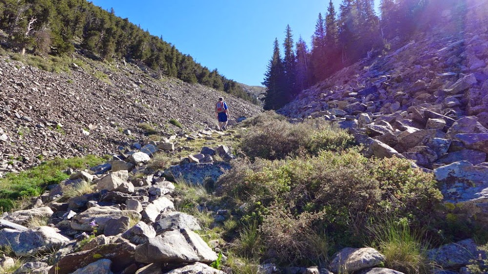
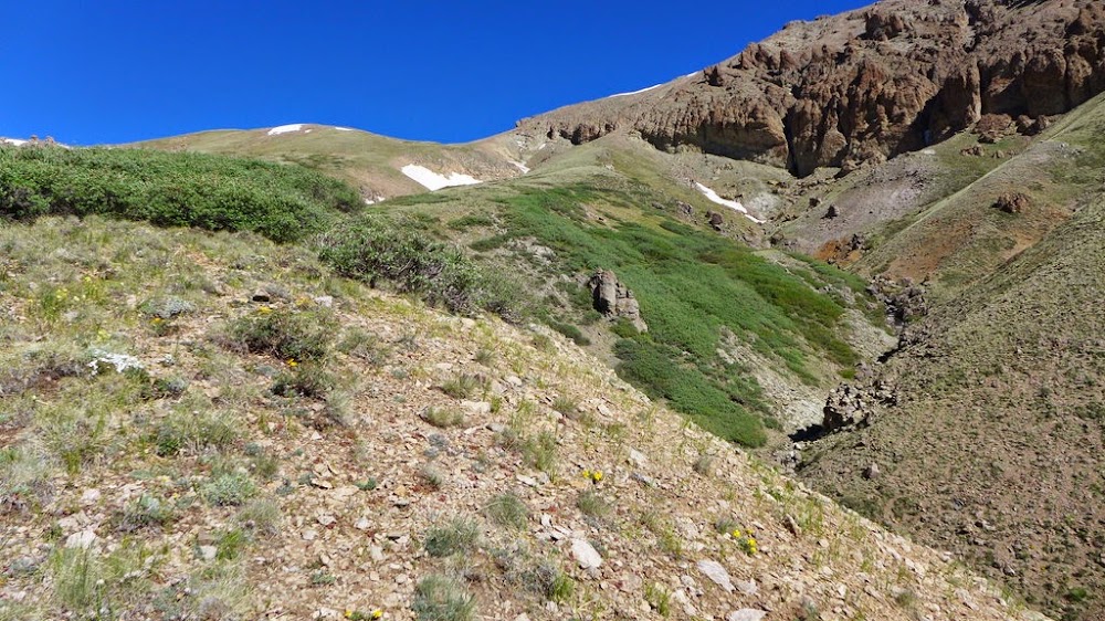
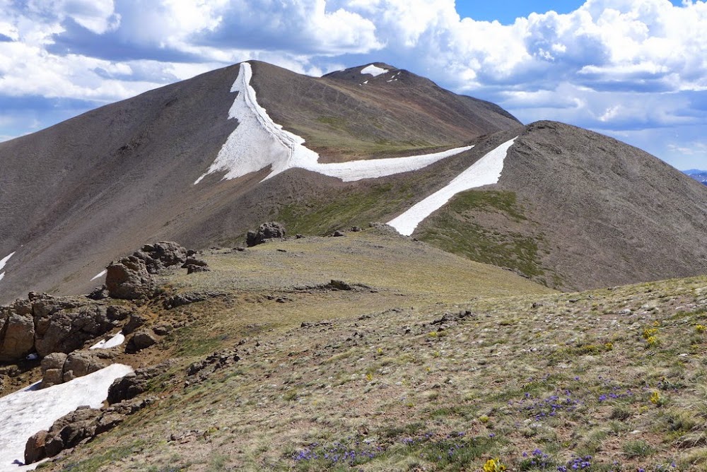
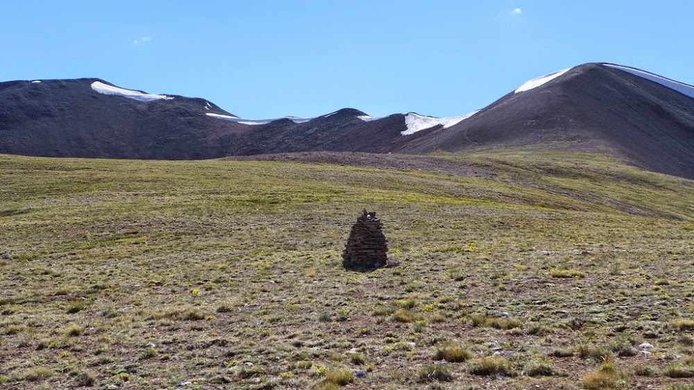
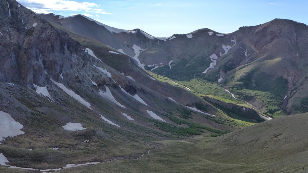
We followed that trail for a about half a mile, but before it started heading down into the basin we left the trail and started bushwhacking up the ridge. Very soon we picked up a faint trail which we followed into California gulch. We didn't like the look of the talus-covered ridge, so we followed the drainage for a while. As soon as the talus ended and near ~12k ft, we fairly easily gained the grassy ridge. The views started to unfold.
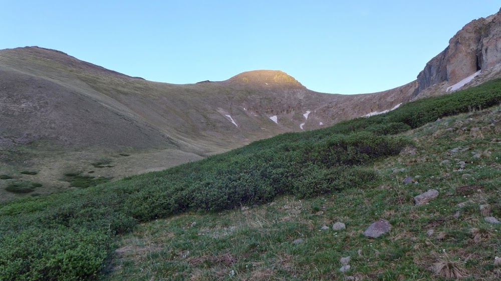
Heading up California gulch
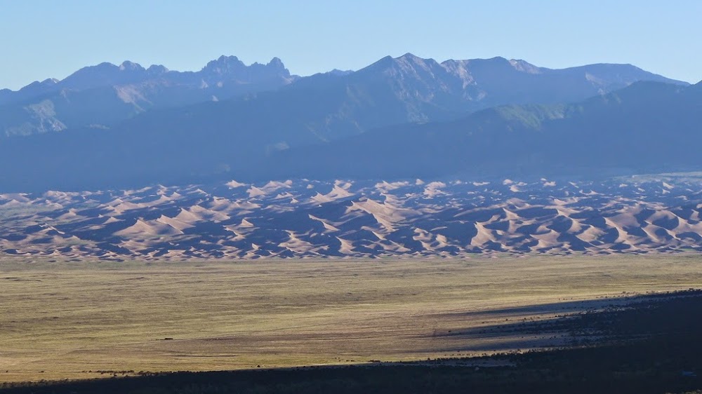
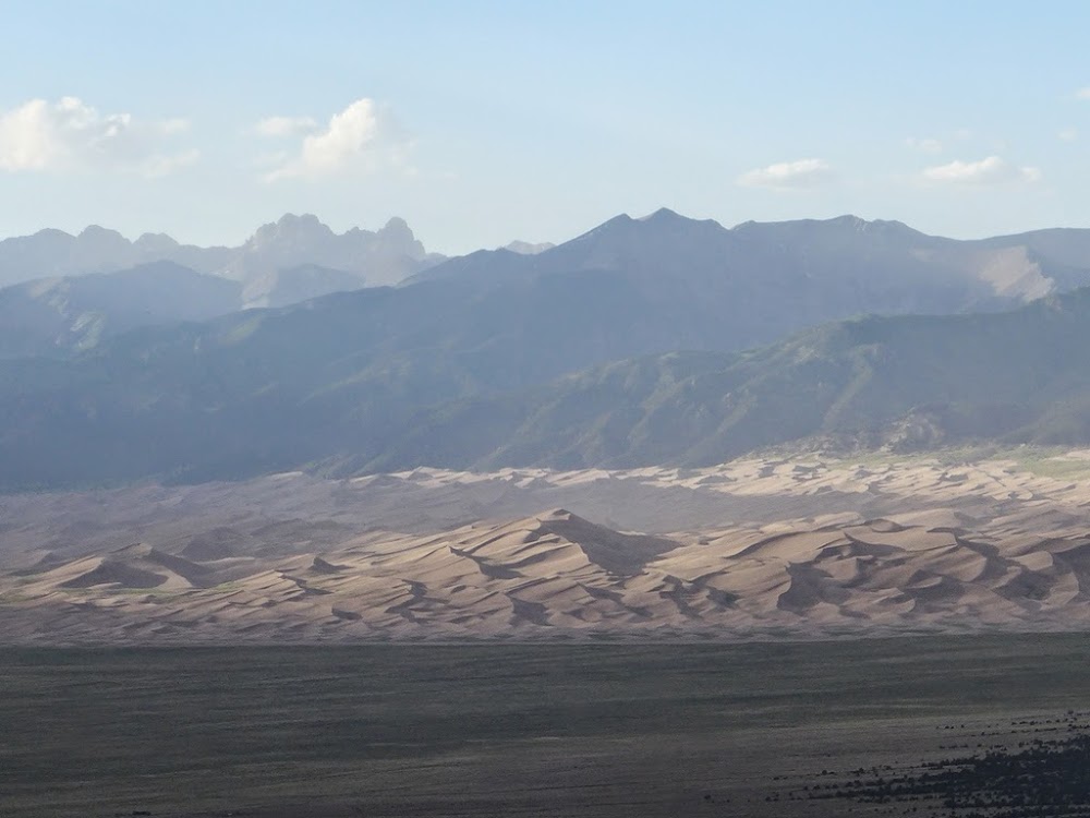
Sand Dunes and Crestones
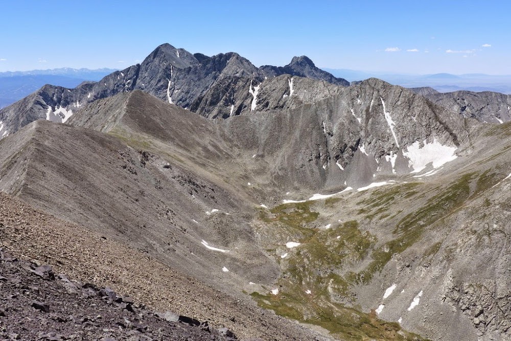
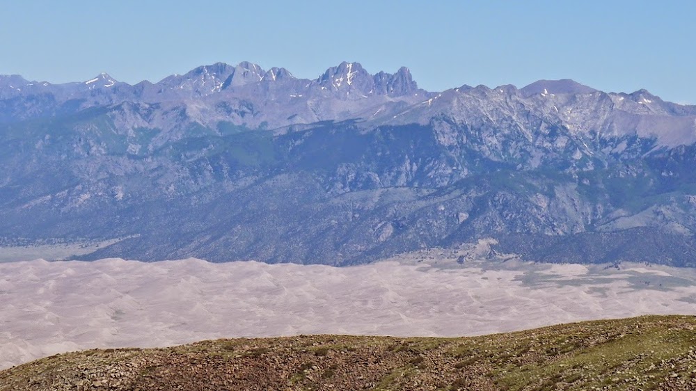
View of the Blanca group from California
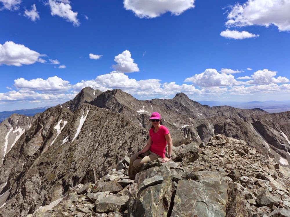
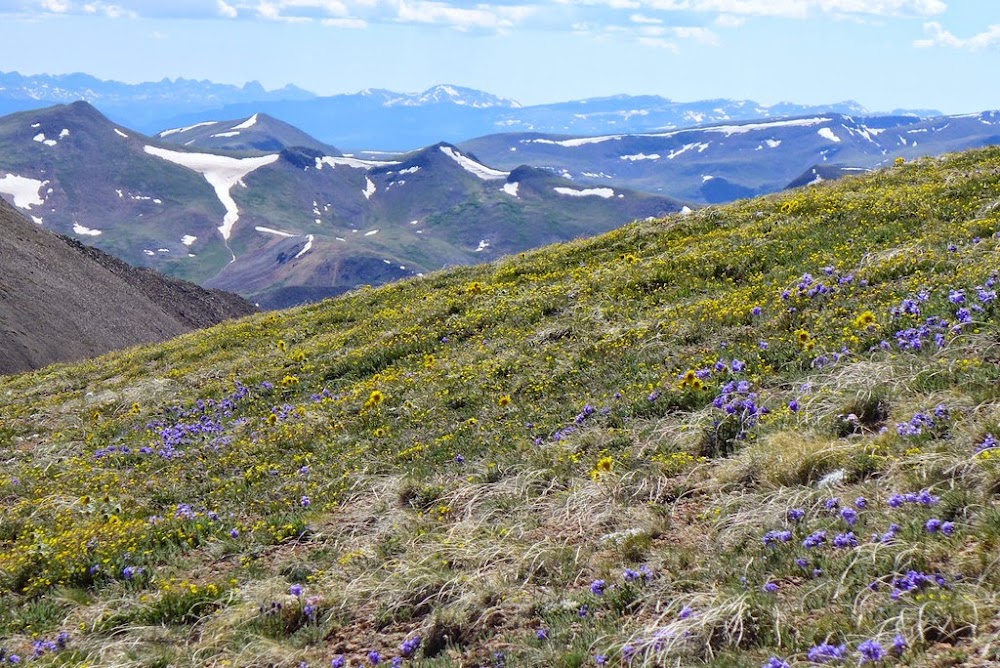
The rest of the hike is fairly straightforward and we got to the summit sometime around noon. Since we both still felt ok, we decided to continue onward to both unnamed points. We stick to the ridge over some smaller bumps as the ridge seemed more solid.

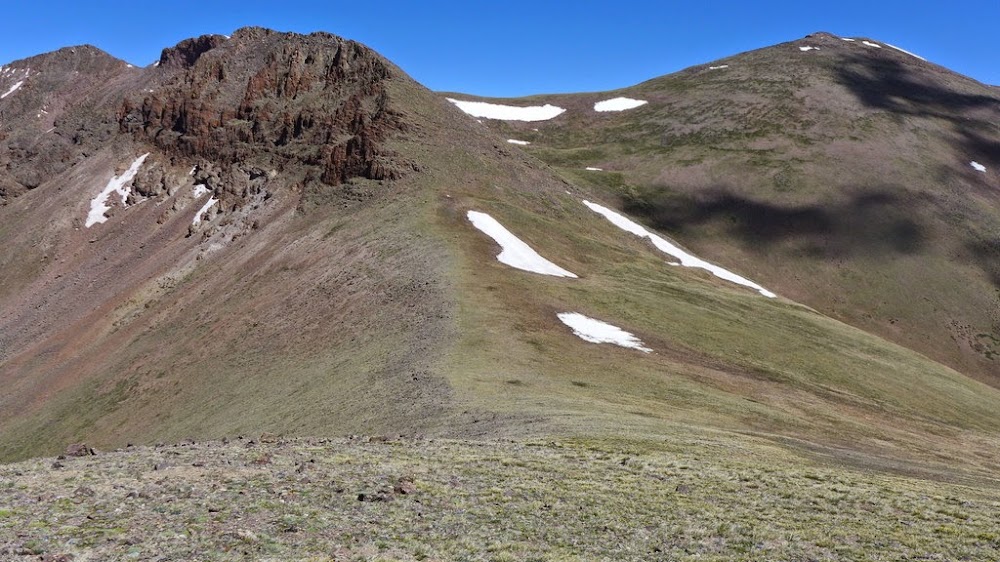
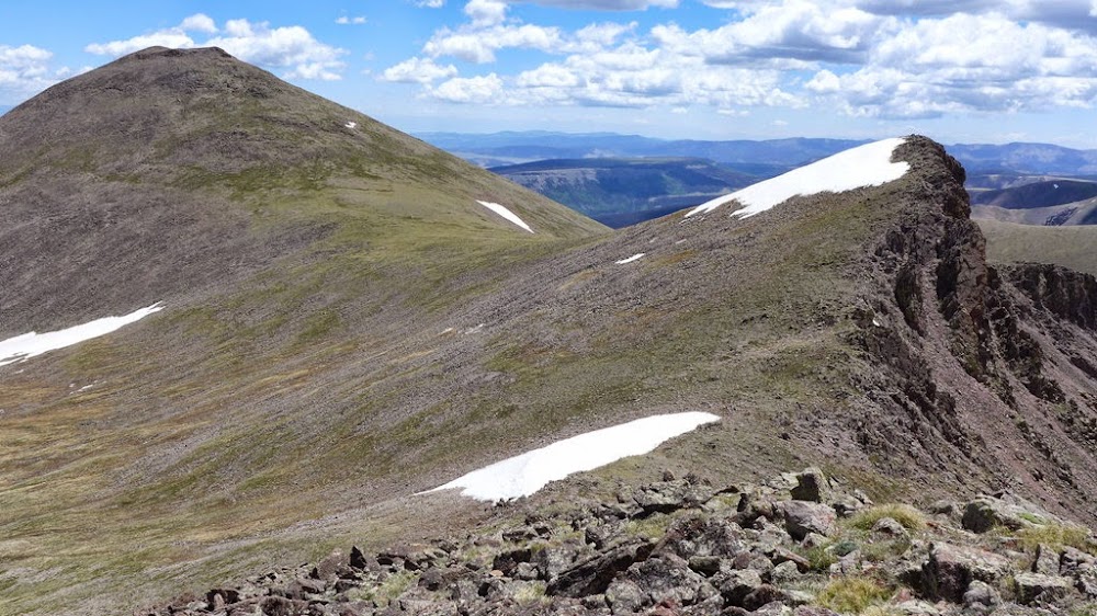
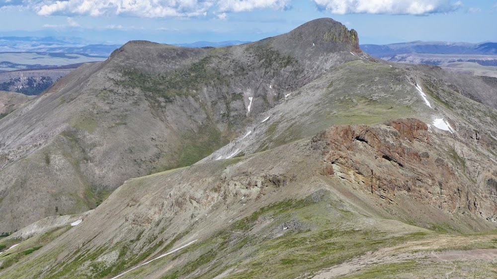
UN 13,577 provides an incredible view of the Blanca group.
Looking back at California and the ridge
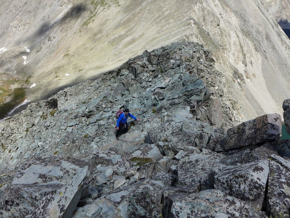
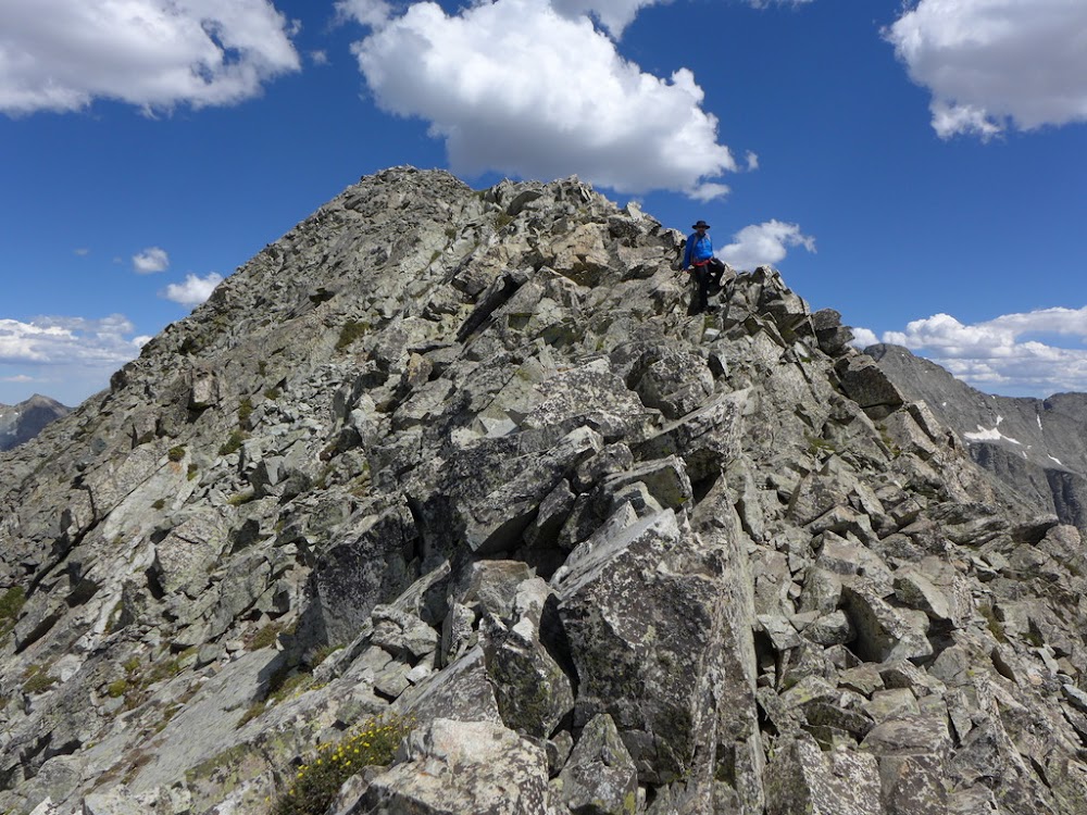
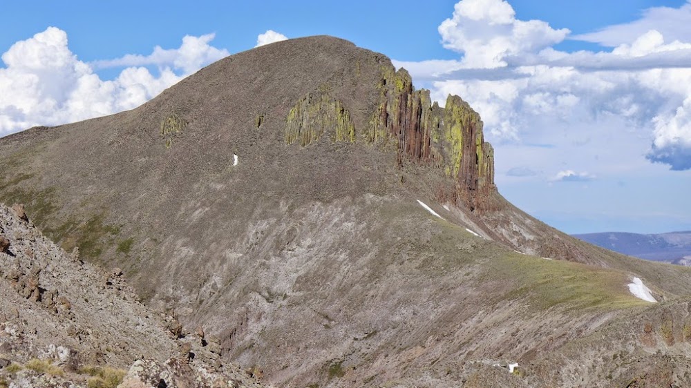
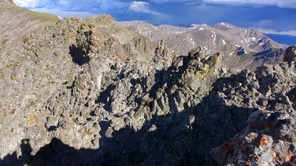
We continued onward to UN 13,660A, and the scrambling got progressively more challenging, in the Class 3-4 range.
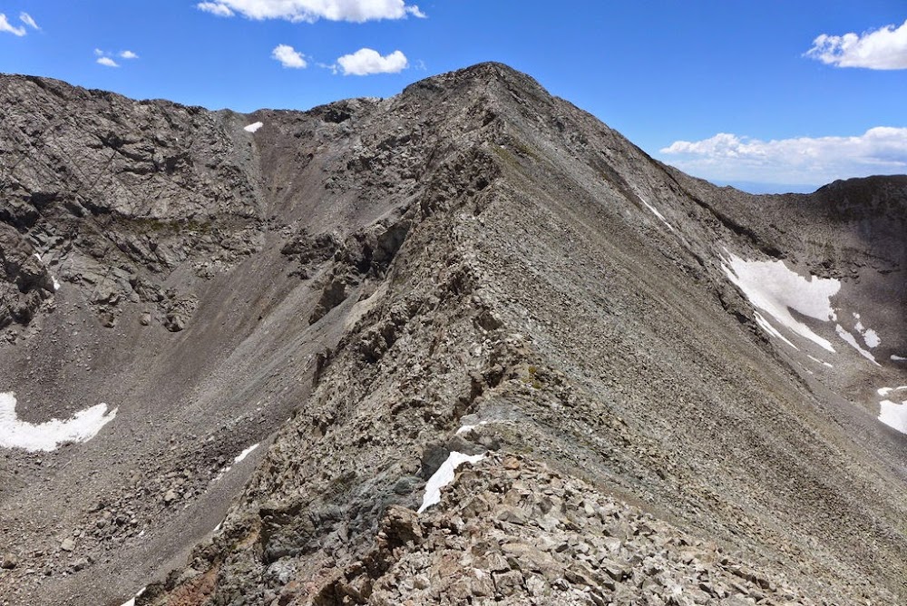
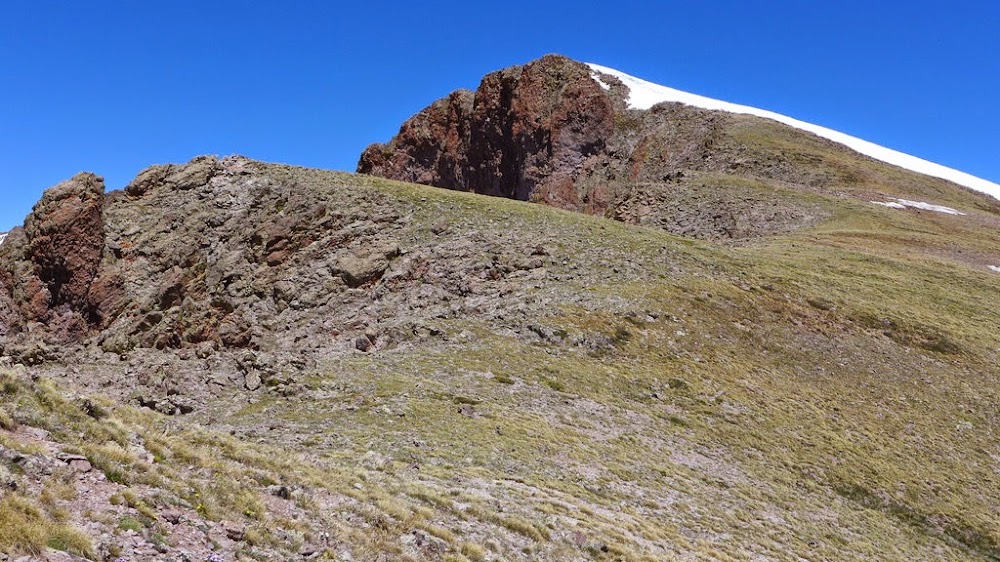
Beginning of the ridge to UN 13,660A
The ridge gets steeper
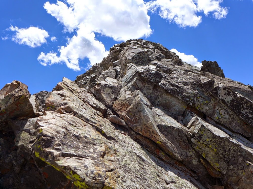
Jason on the ridge
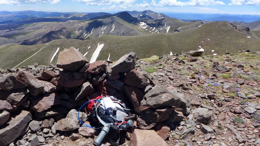
On the summit of UN 13,660A

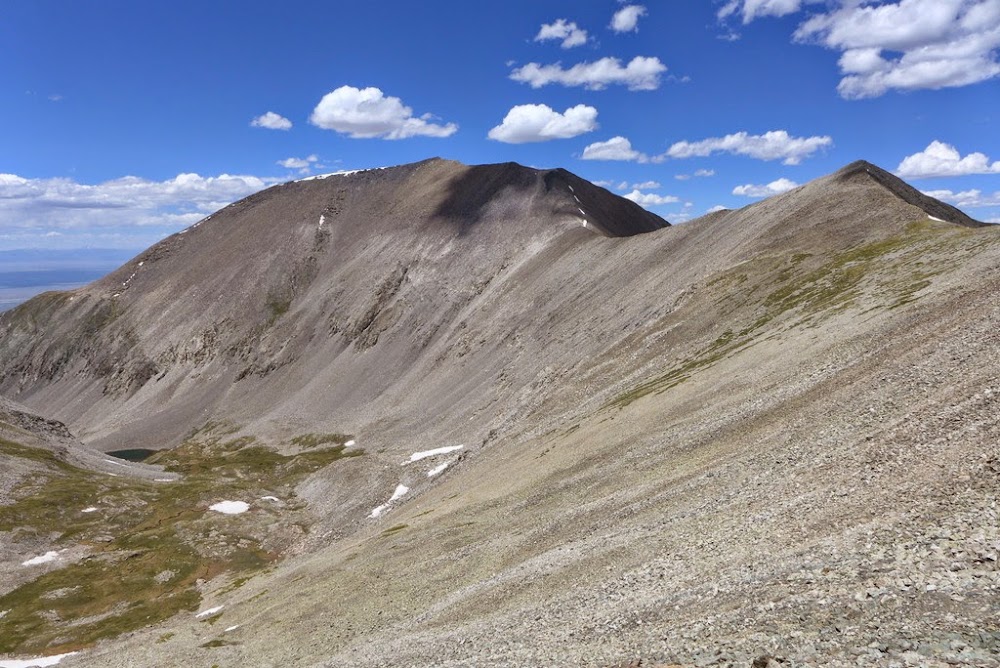
Twin Peaks (13er) and Zapata Falls gulch from the summit of 13,660A
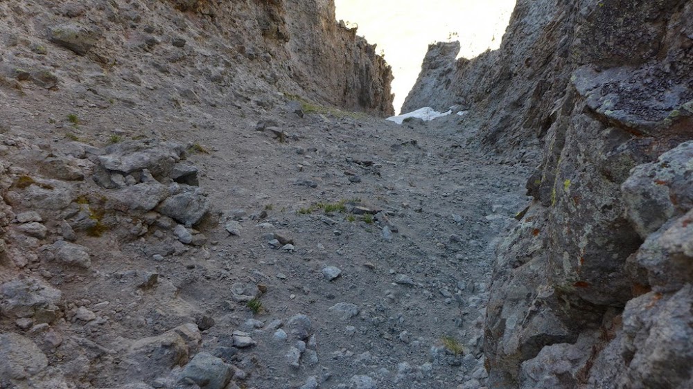
We topped on the final summit of the day around 3pm. Weather still looked good for now, but clouds were starting to gather. Jason suggested we go down the Northwest ridge of 13,660A as Furthermore mentioned in his winter report that it was only Class 2.
Jason descending Northwest ridge
Well, there were a few Class 2 moves, but it was pretty exposed and things got more "interesting" as the wind picked up. I guess the takaway is - don't listen to Furthemore! (or listen, but up the grade by one or two notches).

More Class 2  moves moves
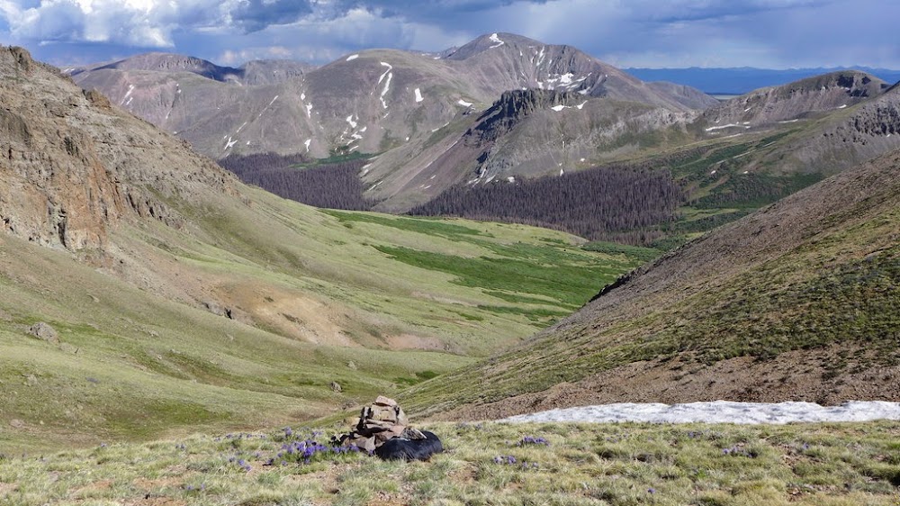
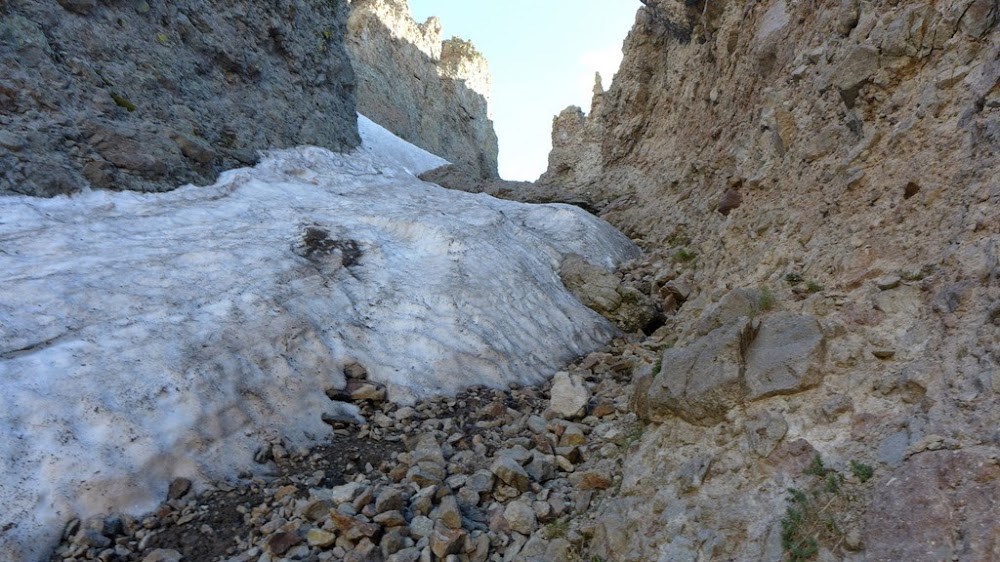
I know I had to time crossing the exposed sections when the gusts died down. Eventually we made it to the saddle with unranked subsummit 13,470 and descended steep grass and talus into the North Fork drainage.

Descent into North Fork drainage
Since we didn't ascend that drainage, my main concern was how much bushwacking to be had. It turns out - almost none! There is a strong climbers trail starting from the lake. We managed to lose it a couple of times, mainly due to the treefall, but it wasn't bad at all. The trail stays on the right side of the creek on the descent.

The lake
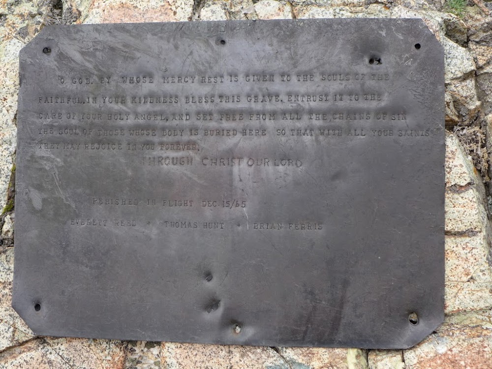
The sobering discovery was made near the lake - a wreckage of a small plane which went down in December of 1965. There is a memorial plaque.

North Fork creek drainage
On the way back to the treeline we got sprinkled by graupel, but it was short-lived. We followed the trail to the point where we left it in the morning and then back to Zapata Falls TH. We even got to check out the Zapata Falls and soak our tired feet in cold stream.
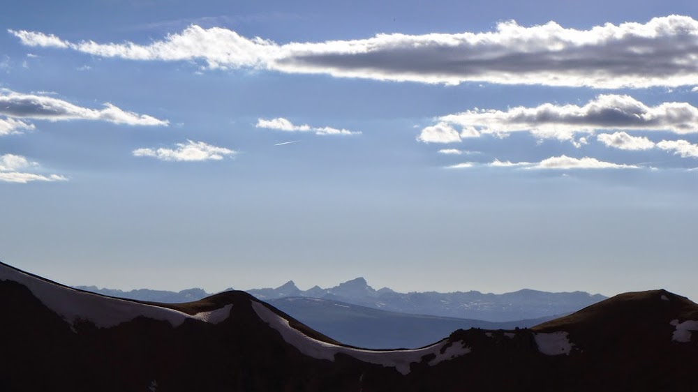
Evening light on the Dunes
Stewart Creek TH
Mileage: ~18 miles
Elevation: ~7.7k
Time: ~15 hours
Party: solo
Date: July 1, 2014
After hiking West Spanish Peak the day after California group and almost getting a heat stroke on the way down, I was ready for some cooler and greener pastures. I was excited to head back to La Garitas, for the first time since hiking San Luis two years ago. My plan was to tag both Stewart and Phoenix group together and eliminate driving between the THs. I knew those peaks are quite gentle and that I would be making good time on easy terrain. In addition, I wanted to test my backpacking gear in anticipation of the upcoming Weminuche trip. With that in mind, I got to the Stewart Creek TH and car camped. I got up at 4.30 in the morning and packed my backpack for an overnight trip. For some reason it took longer than expected and I didn't get started on the trail much before 7am. The standard San Luis trail is practically designed for backpacking and I was making great time. The first 4 miles went pretty fast. My original plan was to get the overnight pack to the ridge near Baldy Alto. Leave the pack and hike the Baldy Alto, Stewart and Organ from there. Once done, descend into the Cochetopa creek drainage and hike the Phoenix group from there the next day. Well, it almost worked out. Except for the Phoenix part.

The first part went reasonably well. I hiked with my overnight pack to the saddle with Baldy Alto near 13.2k. Dropped the heavy pack there, took the daypack and departed for Baldy Alto and Stewart. Left Baldy Alto just before 11am and continued to Stewart. I hiked Column ridge (both subsummits) thinking it was Baldy Chato - oops - I need better maps on my GPS. I knew those were unranked 13ers, but they looked pretty cool. I wasn't sure which one was the proper summit so I tagged both. Still feeling pretty good I got to the summit of Stewart around 1pm. The weather was forecasted to be almost flawless that day, so I wasn't too worried.

First look of the basin on the approach
I left the San Luis trail around 12.2k and started ascending Baldy Alto

Left the "big pack" on the saddle with Baldy Alto

View of San Luis from Baldy Alto
View of Stewart (which is about 1.6 miles away) from Baldy Alto. Unranked "Column Ridge" is on the left
Column Ridge is getting closer. I was convinced it was Baldy Chato at the time
Geological marker says "Stewart" - but it's on the summit of "Column Ridge"
From the subsummit of "Column Ridge", looking at Stewart
Finally made it to Stewart around 1pm or so
Going back over Baldy Alto was the test piece. I decided that if I felt weak, I would bail on Organ, but if I still felt ok, I was willing to continue. I felt ok. I got to my "big" pack at the saddle around 3pm and took a long break. It was nice to have a water filter and "real" food with me, so I cooked a meal for the long treck to the other side of the basin.
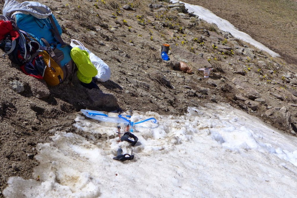
A camp on a little "glacier" aka snowfield ~13.2k

Organ on the other side of the basin - 1.7 miles away
Starting the hike towards San Luis
Gentle ridge
Organ is getting closer
The hike over false summit 13,707 of San Luis was rather painful with a big pack, but eventually I topped out and then picked an easy San Luis trail to the saddle with Organ. Around that time I was starting to realize that I was up for an epic. As a rule, I try to avoid epics as much as possible, but on that particular day I felt I will be up for it. I was feeling rather strong, had an overnight pack with me, so I was willing to push my limits a bit. After getting my day pack (and not forgetting a headlamp) I departed for Organ around 5pm. It is just over a mile from the saddle - how hard can it be?
Leaving the pack at the 13.1k saddle by the cairn leading into Cochetopa drainage
Well, I definitely underestimated Organ. Roach rates the connecting ridge with San Luis (Organ's West ridge) as Class 3. I didn't bother to read or take the route description with me as I thought I should be able to figure it out. It turned out to be a mistake! The West ridge starts pretty mellow and I was wondering where the dreaded Class 3 section was, but after about 40 minutes of hiking I reached some nice-looking spires.
First good look at Organ - the "organ pipes" become visible
Running into the spires
That's cool, thought I and continued to plod along unsuspectedly - I am in gentle La Garitas after all and most of my day was spent on grass. Bam, I reached the big gap in the ridge. Wow, where did that come from? I should have backtracked and looked for a "proper" route, but I ended up downclimbing into the saddle as I saw the opening. The terrain was surprisingly steep and loose and I didn't see anything resembling Class 3.

Downclimb route into the notch

The opposite side of the wall
Now what? I knew I had to gain the ridge, but how? The direct approach looked like overhanging Class 5 on loose rock. I looked right - it didn't look promising. I looked left. It was a steep gully (which I dubbed the "Dark gully"), but I could see a snowfield and then grass at the bottom. First I tried to descend the gully somewhat and then regain the ridge from there. Well, it didn't look promising - I didn't want to climb spires without assurance that they would connect and lead to the spine of the ridge. Another option was to downclimb the "Dark gully". First I had to see if it went and not get cliffed out. There was a small rock band which I was able to downclimb followed by a steep snow, but I was able to get down to the valley floor without major issues. What was that?
The "Dark" gully
Whew, it goes!
Looking back up on the downclimb
The Gash and the Dark gully
By now it was something like 6.30pm. Where did the time go? I considered bailing for a moment, but seeing nothing but grassy terrain again in front of me and at least 1.5 hours of daylight, I decided to push for the Organ summit.
Grassy terrain ahead
I was starting to feel the extra vertical, but persevered and got to the summit sometime after 7.00pm. The evening colors were spectacular.

"Organ pipes" from the summit

West ridge from the summit

Phoenix group
Easy retreat route - I wasn't taking the ridge back to the saddle as I didn't want to do route finding in the dark
Evening light on Organ
To get back quickly to my pack I had to bomb down the grassy slope of the Stewart creek drainage. Momentarily I considered descending all the way to San Luis trail, but spooked by the prospect of bushwacking through the willows I did the ascending traverse on the left side of the basin and regained San Luis standard trail around 12.6k. Only then and there at 8.30pm I realized that Phoenix group is not going to happen the next day. I was too tired and descending into Cochetopa drainage in the dark and setting the camp there wasn't feasible. I also had a long backpack into NoName drainage the day after and needed plenty of rest for that. Oh well, sometimes plans don't work out. I eventually got to my pack around 9pm and descended back into the Stewart drainage for another hour or so until I found a flat spot to camp near 11.9k. After setting up my brand new tent (BA Fly Creek 2), I got in and passed out. It was really nice to wake up to a gorgeous view the next morning. I leasurly cooked breakfast, filtered water and made an easy 1 hour 45 minutes trek back to the car. All I had to deal was a flat tire and a dead car battery on the eve of the drive to Durango to catch the train - but it is a completely different story.
My GPS Tracks on Google Maps (made from a .GPX file upload):
|


