| Report Type | Full |
| Peak(s) |
Bonita Peak - 13,286 feet Emery Peak - 13,321 feet "Proposal Peak" - 13,339 feet |
| Date Posted | 08/28/2013 |
| Date Climbed | 08/21/2013 |
| Author | bergsteigen |
| Additional Members | Kevin Baker |
| Proposing to Bonita |
|---|
Proposal Peak, Emery Peak, Bonita PeakTrailhead: Minnehaha Gulch 2WD road Mileage: 3.77 Elevation Gain 2,409' Max Difficulty: class 3 With both Kevin and I arriving to the trailhead after dark, we wanted an easy day before the bigger one on Pilot Knob and group. So we went with some peaks I had been eying over July 4th weekend. When I saw the peaks from Hansen Peak across the way, I realized they wouldn't be simple tundra/talus strolls and that maybe I should see if there was a TR for them. So before running out the door on a 6 day vacation, I found a words only TR by Furthermore to print in prep. At least there would be some beta, I could then add photos to his descriptions of the route. So at the crack of dawn we started up the middle mining road, and were treated to some amazing sunrise on clouds and moon views. We hoped those clouds were not an ominous sign of things to come! 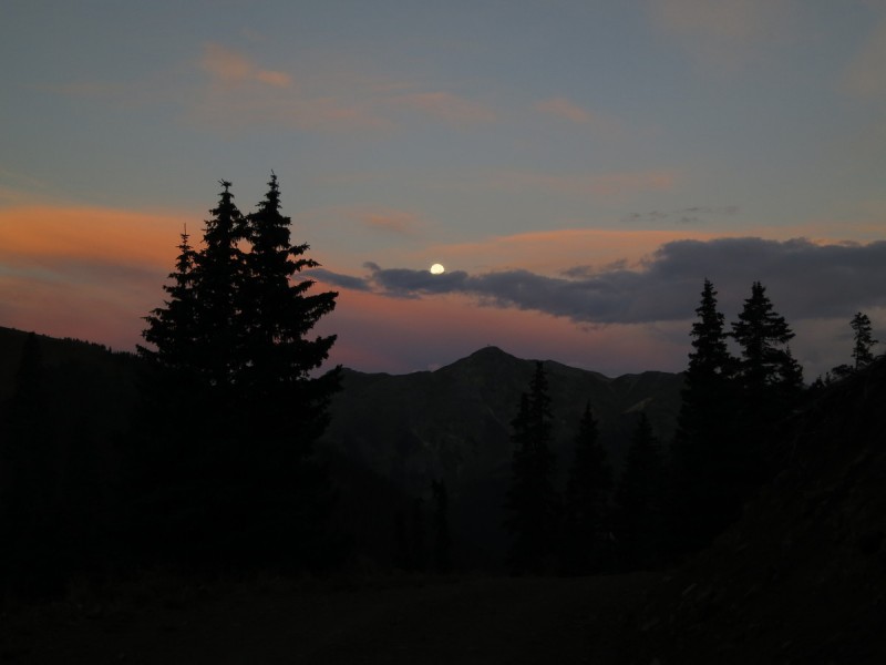 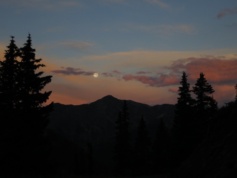 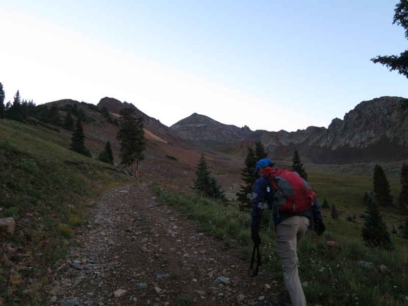 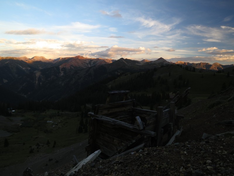 Beyond the mine, we could see the two ridges that Furthermore had contemplated for ascent. There did appear to be a cliffy area on the NW ridge, so up the west one we went. I spied out a semi grassy gully just to the left/north of the ridge that looked like it would go. So we gave it a shot and started up the gully. Loose in the middle, but the sides were reasonably solid. 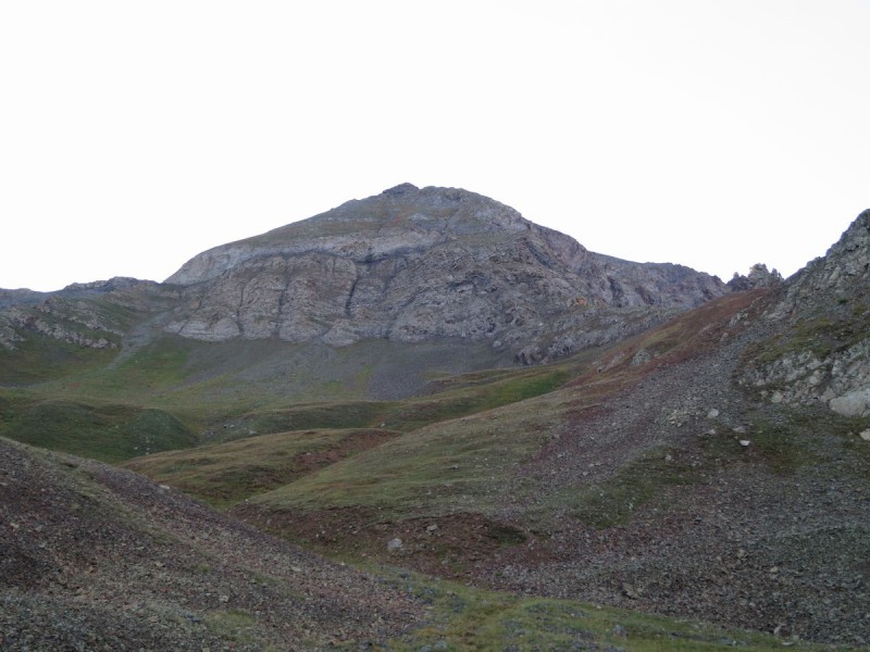 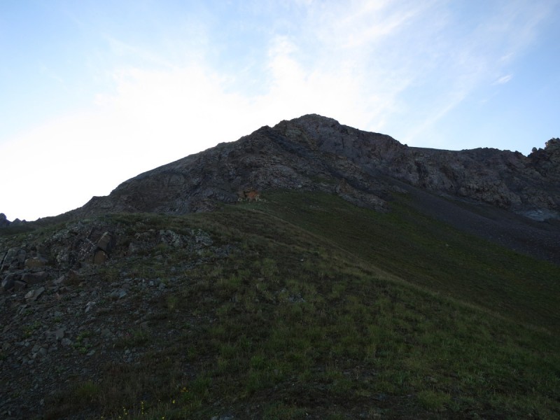 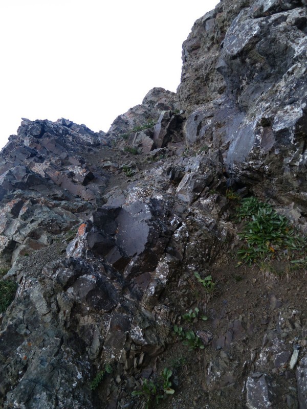 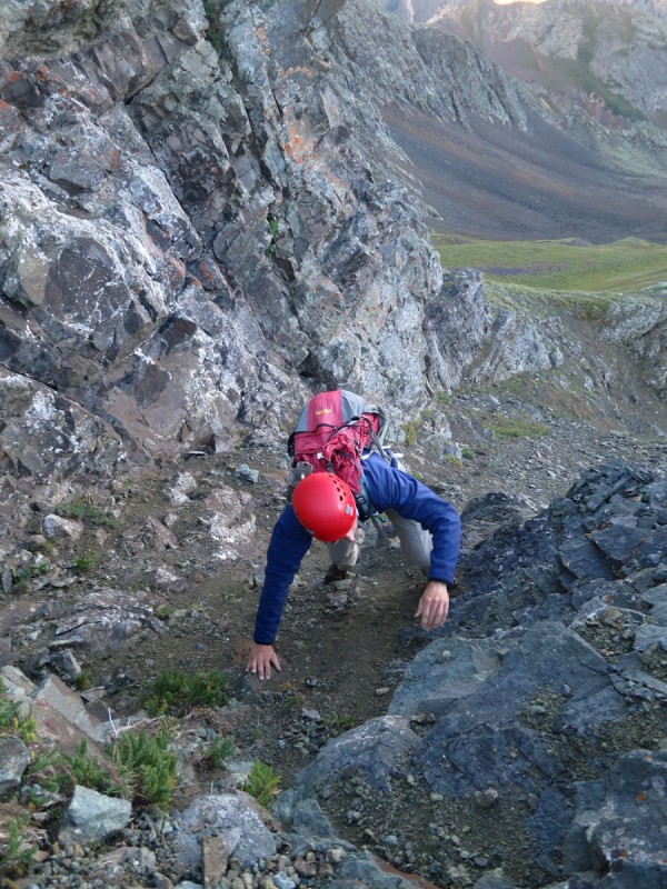 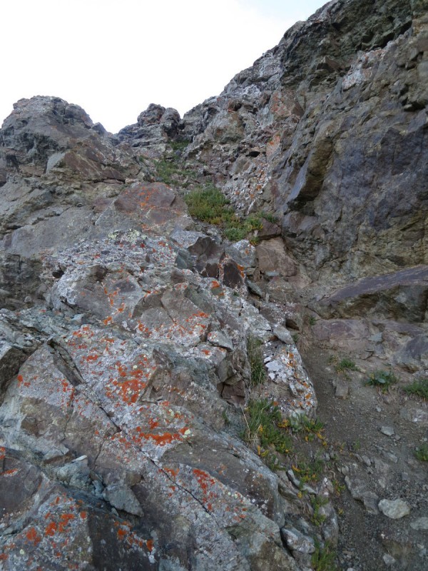 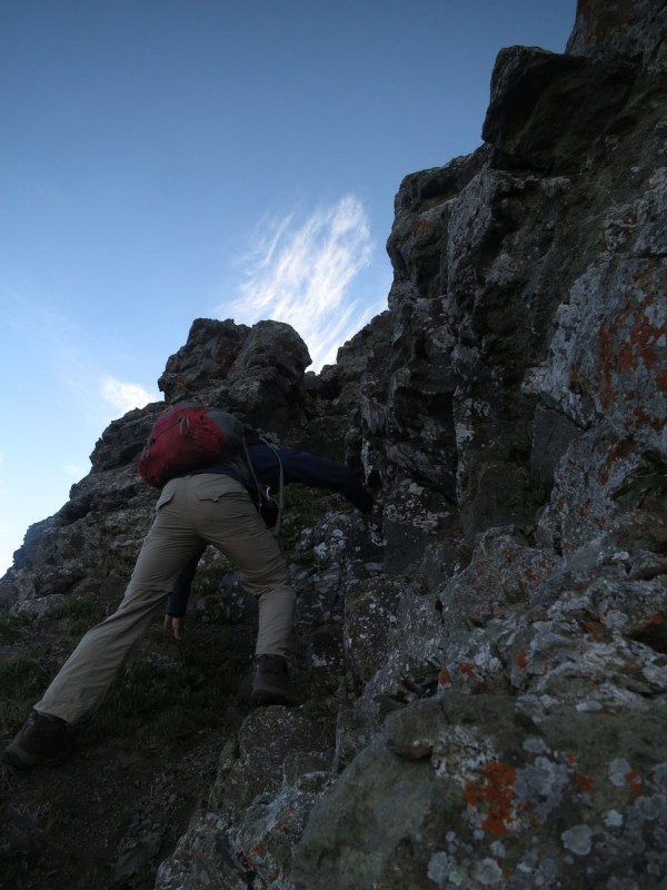 Above the gully, the route goes back to class 2 and is fairly easy all the way to the top. Loose, but manageable. 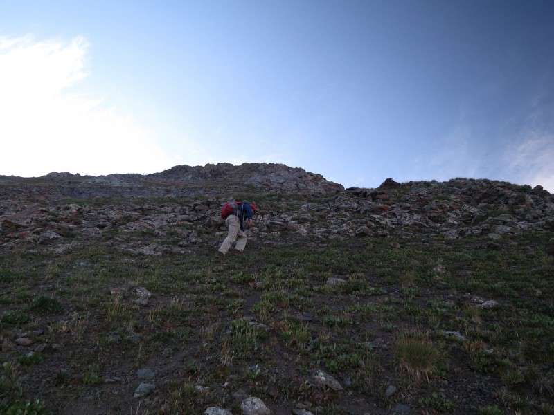 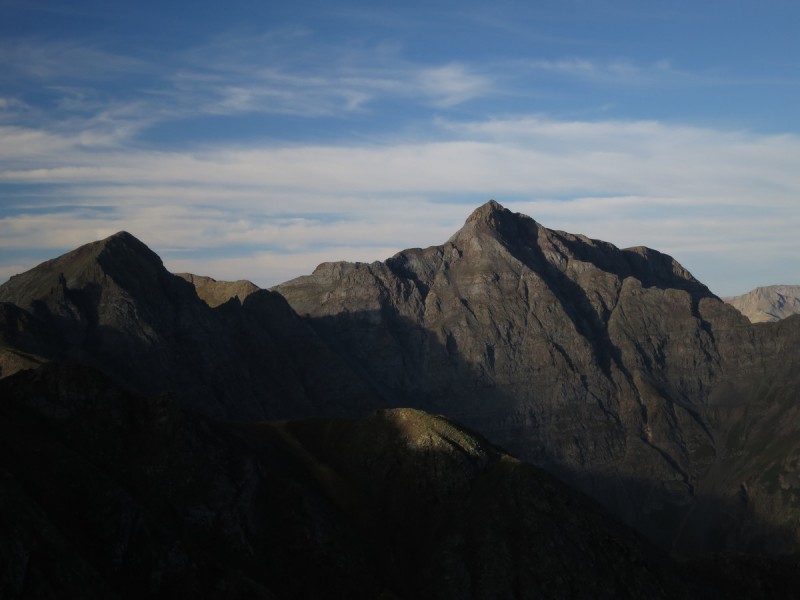 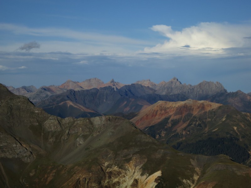 On the summit of Proposal, we can now see the route finding challenge ahead of us on the ridge. There is a notch just off the summit which requires a class 3 up climb. It's not too bad, but I had a foot hold blow out, so it was a good reminder that I was no longer scrambling in the more solid Sawatch, Sangres, Gores or other easier mountain ranges. Oh the friable volcanic crap of the San Juans! We knew we eventually had to drop off the ridge, but when. I forgot to reread the description on the summit, so we continued down the ridge, and then along the ridge for longer than we should have. Getting along the ridge, the remainder looked very airy-scary and after my hold breaking loose, I was all over the dropping lower on kitty litter to traverse around the ridge gendarmes! 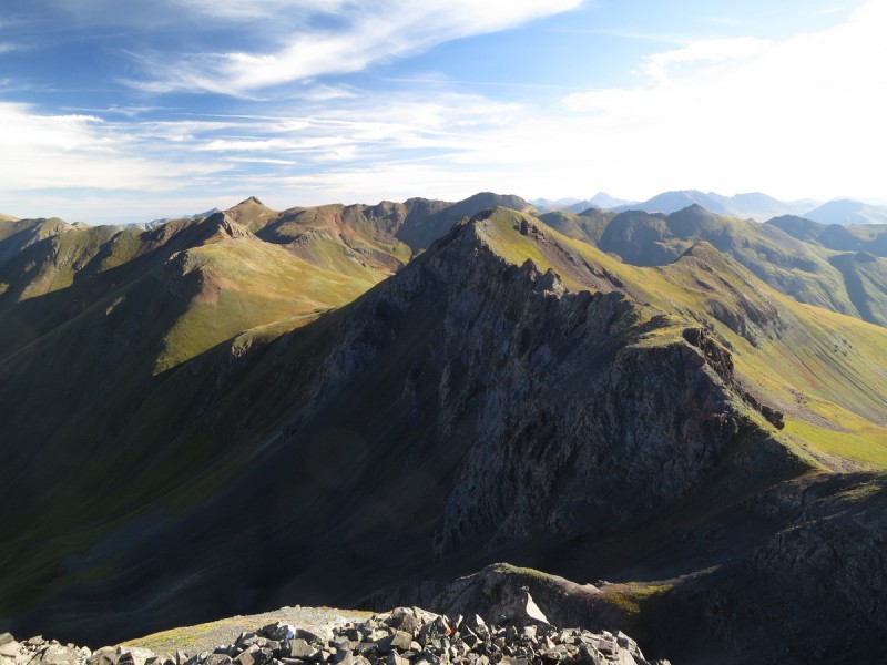  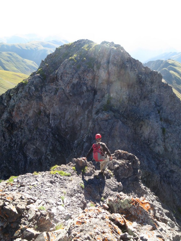 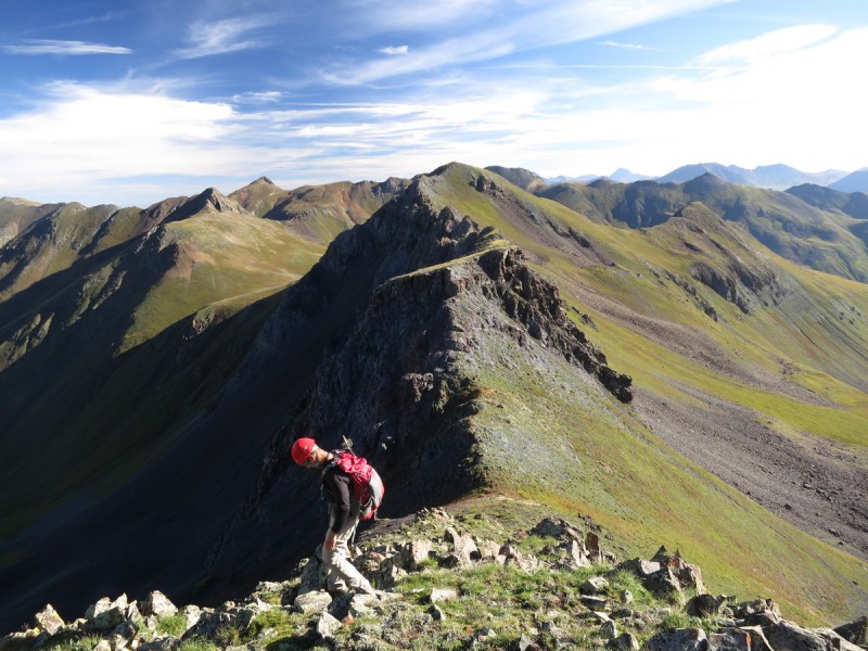 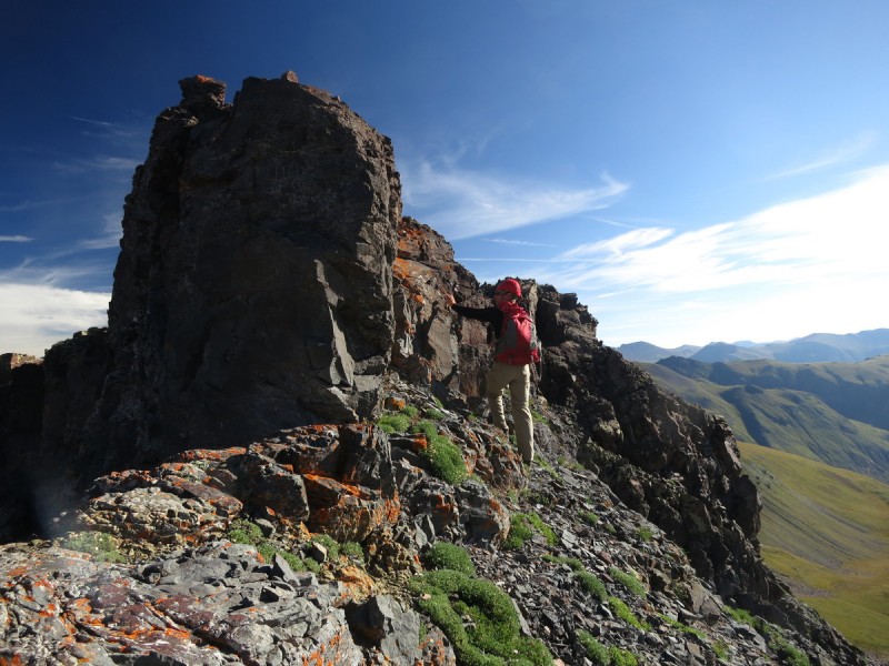 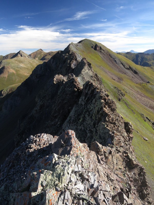 After traversing around on loose scree and talus, there's a nice grass ramp on the way up to Emery  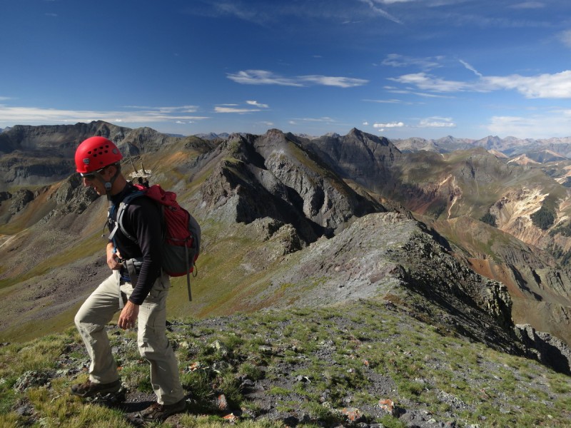 Dropping off Emery, there's one more route finding challenge. There's a loose gully just off to the west, that will get you through the notch in the ridge. Very loose, and requires some spread eagle type moves to avoid sending the gully further down the mountain. 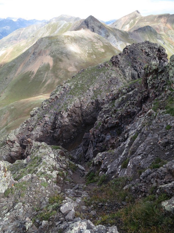 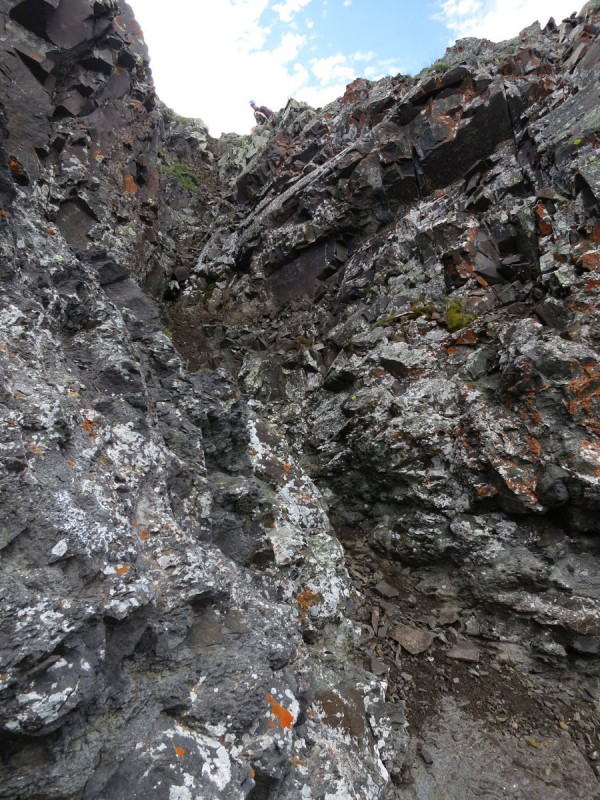 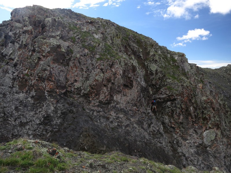 After the last notch, the route is simpler, and even involves a bit of a climber's trail up Bonita. We stay on the last peak for a short while, as the clouds are building to the south, and we have some prep work to get to before the next day. There is a trail between Emery and Bonita, but we decide to drop immediately off Bonita and hit the mining road back to our vehicles. Even got back before a drop of rain hit us! 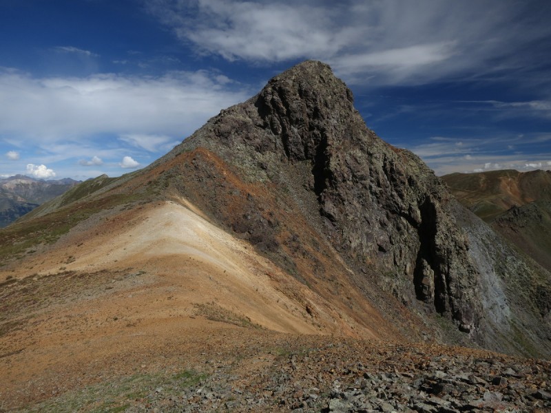 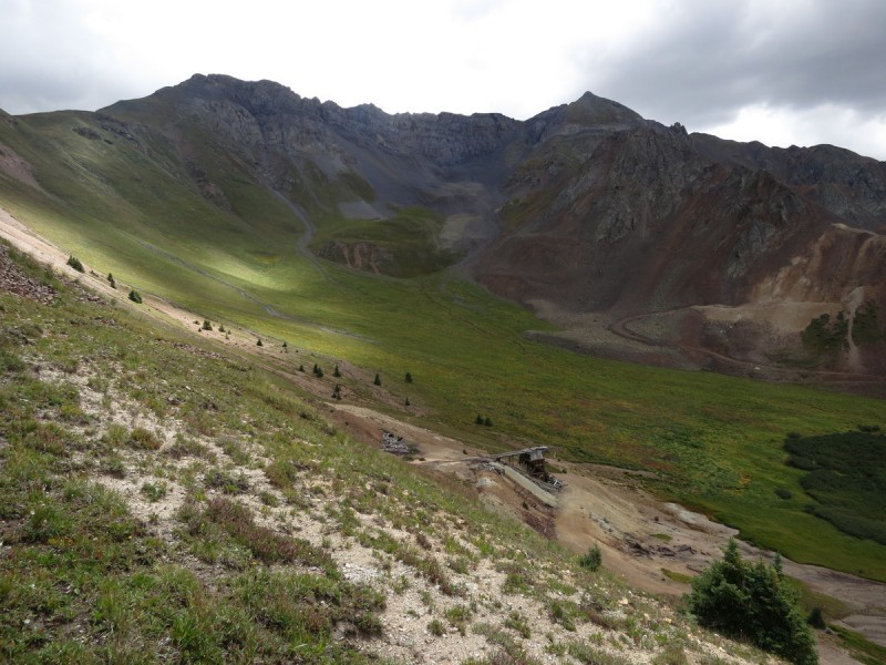 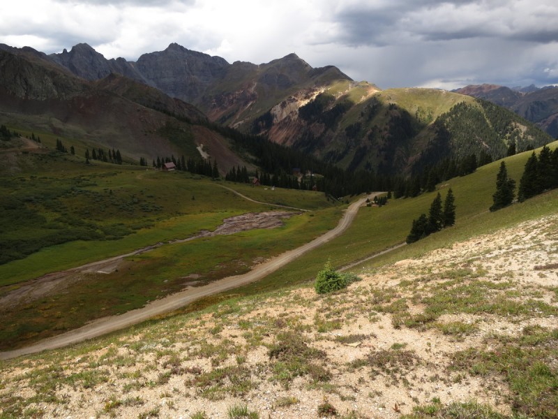 Over all, a great short day in the mountains to start off a scrambling - climbing vacation! Thumbnails for uploaded photos (click to open slideshow):  A lovely sky morning")
 Red sky and moon")
 Up the old mining road")
 Spooky looking clouds to the west")
 Proposal peak")
 Looking up west ridge on Proposal")
 Spotting the gully just left/north of west ridge")
 Kevin coming up the scree in center of gully")
 Semi solid rock at sides of gully")
 Kevin hoping the gully goes")
 Class 2 above gully")
 Storm Peak looking mighty")
 Soon... Ice Lakes Basin peaks")
 Ridge over to Emery and Bonita")
 Ridge off of Proposal")
 Notch in ridge off proposal, some airy class 3!")
 Descending off Proposal. Just drop to the east and go below the cliff bands from here.")
 Looking for a way back up the ridge")
 Yeah... the ridge might kinda")
 Looking up at slope to Emery once rough ridge is over")
 Kevin taking the final steps up Emery, Proposal ridge behind")
 Looking down the notch off Emery")
 Looking up, halfway down")
 Kevin doing the Spiderman moves down the notch")
 Last bit of ridge up to Bonita")
 The Emery Proposal Ridge from below on the mining roads")
 Storm Peak, looking stormy!")
|
| Comments or Questions | |||
|---|---|---|---|
|
Caution: The information contained in this report may not be accurate and should not be the only resource used in preparation for your climb. Failure to have the necessary experience, physical conditioning, supplies or equipment can result in injury or death. 14ers.com and the author(s) of this report provide no warranties, either express or implied, that the information provided is accurate or reliable. By using the information provided, you agree to indemnify and hold harmless 14ers.com and the report author(s) with respect to any claims and demands against them, including any attorney fees and expenses. Please read the 14ers.com Safety and Disclaimer pages for more information.
Please respect private property: 14ers.com supports the rights of private landowners to determine how and by whom their land will be used. In Colorado, it is your responsibility to determine if land is private and to obtain the appropriate permission before entering the property.


