Download Agreement, Release, and Acknowledgement of Risk:
You (the person requesting this file download) fully understand mountain climbing ("Activity") involves risks and dangers of serious bodily injury, including permanent disability, paralysis, and death ("Risks") and you fully accept and assume all such risks and all responsibility for losses, costs, and damages you incur as a result of your participation in this Activity.
You acknowledge that information in the file you have chosen to download may not be accurate and may contain errors. You agree to assume all risks when using this information and agree to release and discharge 14ers.com, 14ers Inc. and the author(s) of such information (collectively, the "Released Parties").
You hereby discharge the Released Parties from all damages, actions, claims and liabilities of any nature, specifically including, but not limited to, damages, actions, claims and liabilities arising from or related to the negligence of the Released Parties. You further agree to indemnify, hold harmless and defend 14ers.com, 14ers Inc. and each of the other Released Parties from and against any loss, damage, liability and expense, including costs and attorney fees, incurred by 14ers.com, 14ers Inc. or any of the other Released Parties as a result of you using information provided on the 14ers.com or 14ers Inc. websites.
You have read this agreement, fully understand its terms and intend it to be a complete and unconditional release of all liability to the greatest extent allowed by law and agree that if any portion of this agreement is held to be invalid the balance, notwithstanding, shall continue in full force and effect.
By clicking "OK" you agree to these terms. If you DO NOT agree, click "Cancel"...
After a long and nasty bumpy drive up the road, I manage to find the campsite next to the Rainbow Reservoir in the dark. It's not well marked, so you may want to set a waypoint on your GPS. I quickly set up my truck for sleep, and hope the rain ends by early morning.
But then, the curse of the Misty Mountains happens - AGAIN! Last time I was in the northern Sangres, my alarm didn't go off, since my phone died. This morning, my phone alarm was muffled by the sleeping bag. So I woke up thinking, why is it light out? Look at the time - 5:18am - OH CRAP! I kicked it into high gear, and got ready and on trail asap. Followed the path down to the Reservoir and made my way up the steep treed slope to magically find a trail that took me up the ridge. The weather was forcasted for ~3pm, but I don't like taking my chances with long ridge runs!
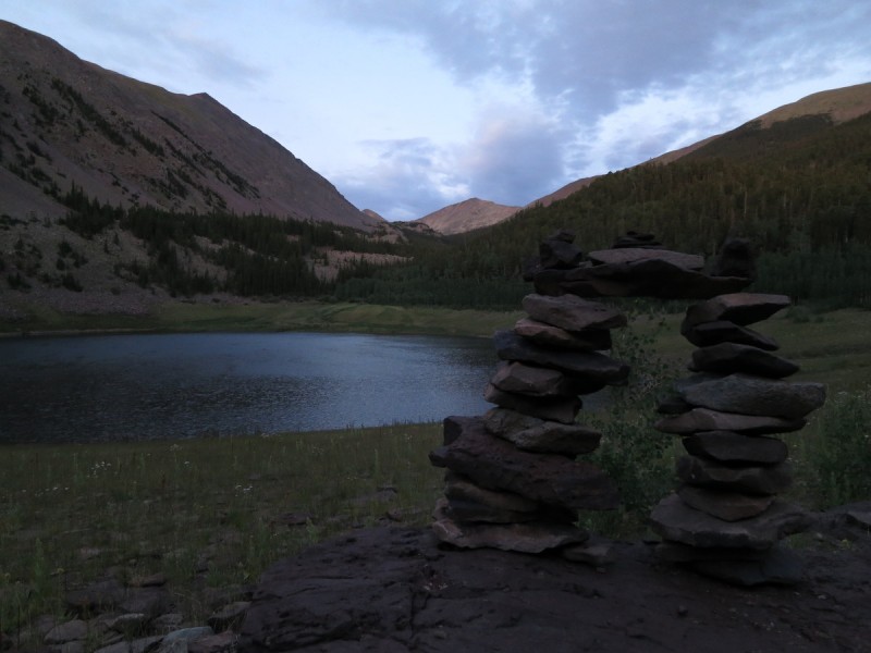
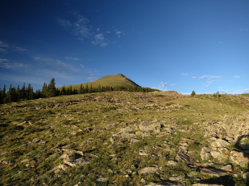
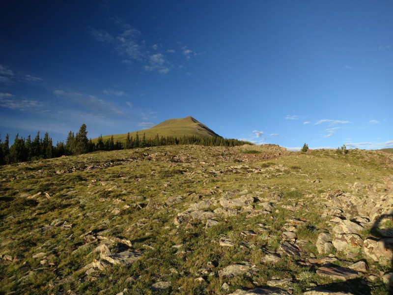
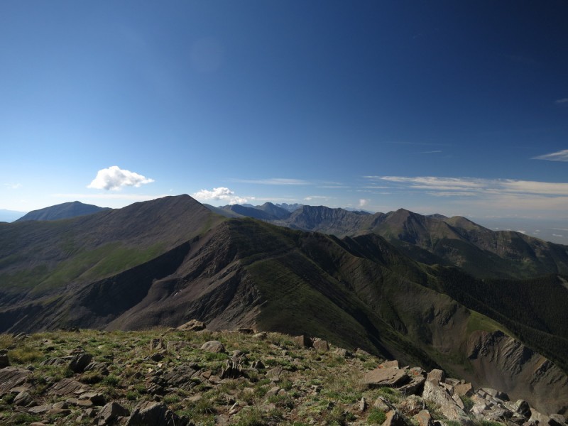
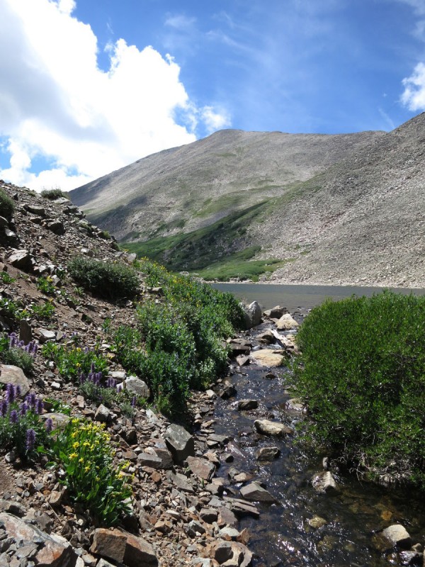
Morning at the Reservoir Slope up Eagle Looking north towards Bushnell & Hunts
Once on Eagle I can take a short break to catch my breath. So far it's clear!
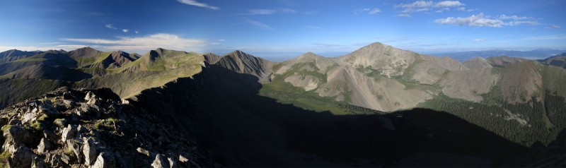
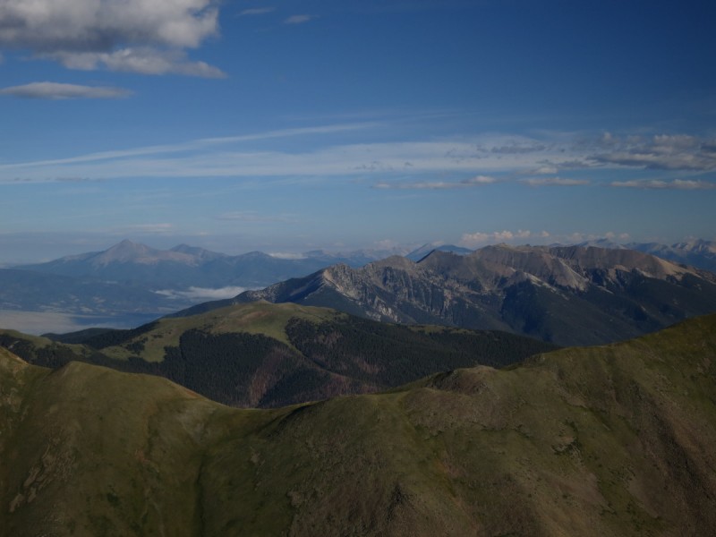
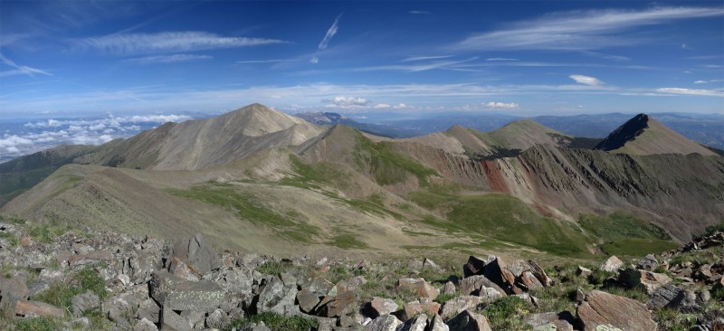
Pano west from Eagle
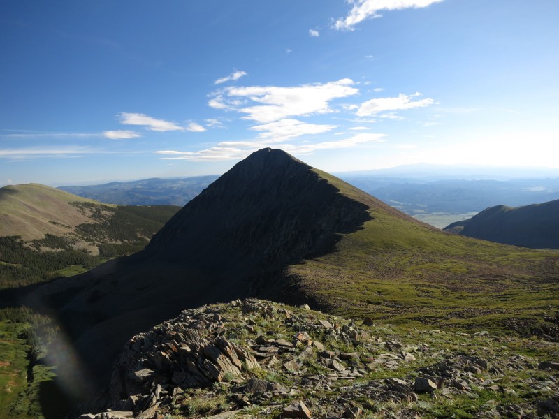
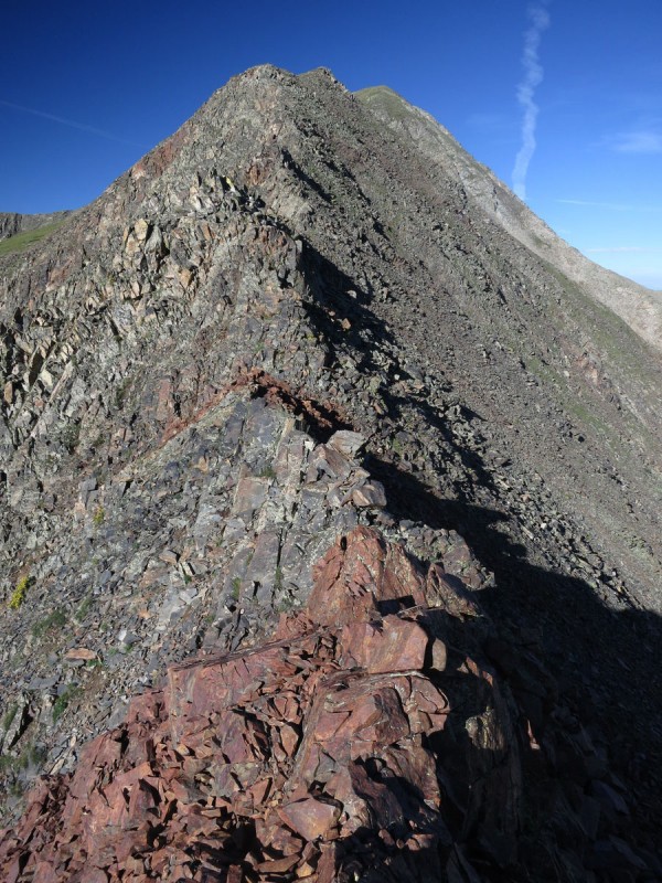
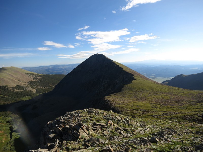
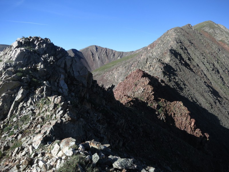
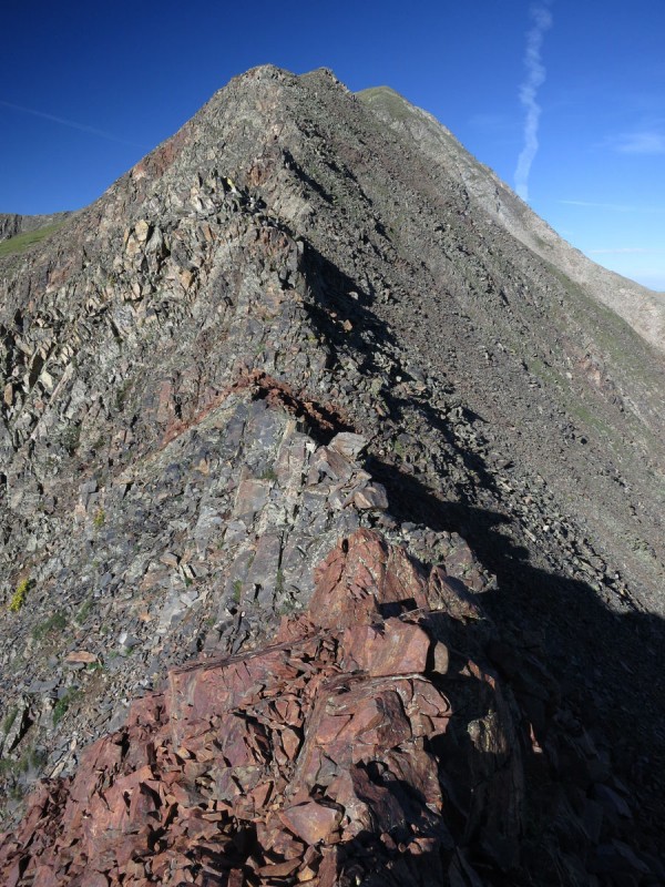
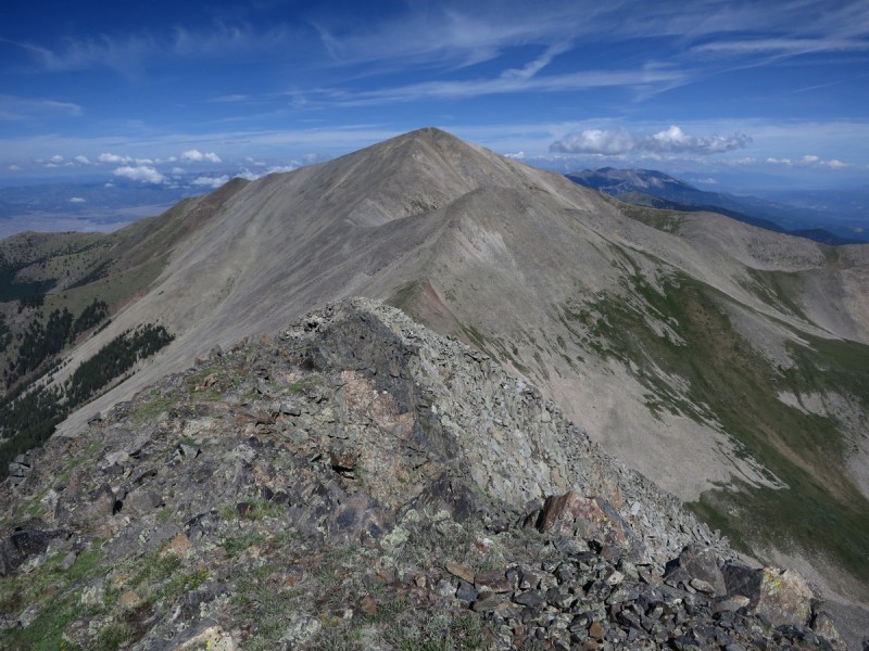
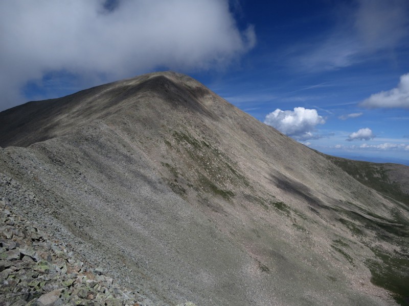
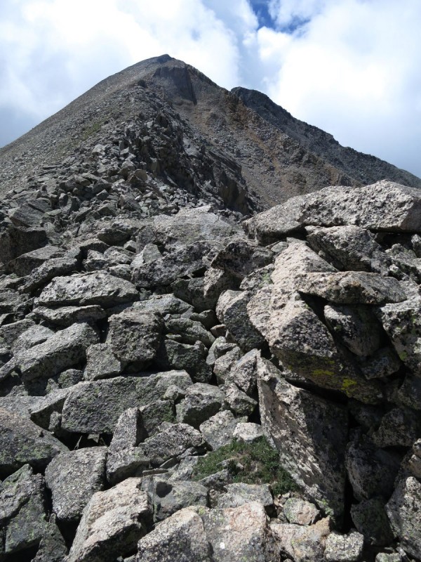
I had thought to possibly drive up the road farther, and just do an out and back on the ridge from Eagle to Thirsty. Looking at the ridge now, I'm glad I didn't do that. The first half of the ridge is easy, but the second half is more rocky and there is some minor route finding to do in the rougher sections.
Looking back at Eagle Ridge to Thirsty gets rocky... Rough ridge to Thirsty
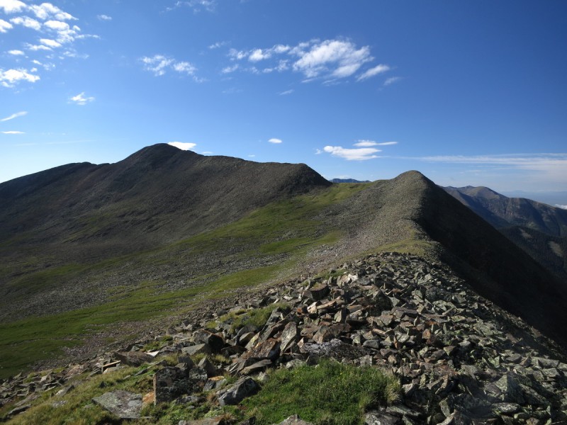
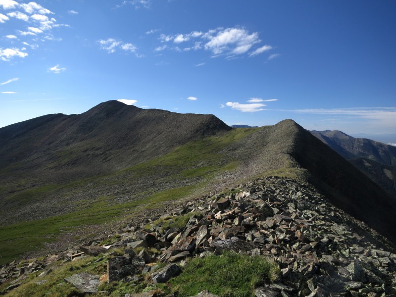
You can bypass the unranked summit of Thirsty on the SE face easily. From there, it's a pretty easy ridge over to Lakes Peak.
Looking at the ridge to Lakes
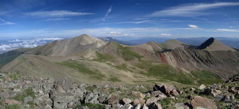
Once on Lakes, I get a nice view to the south, and peaks for the future. Then I turn around and look north, at all the ridge to go over, on the way to Cottonwood. Better get started!
View south from Lakes Pano north from Lakes
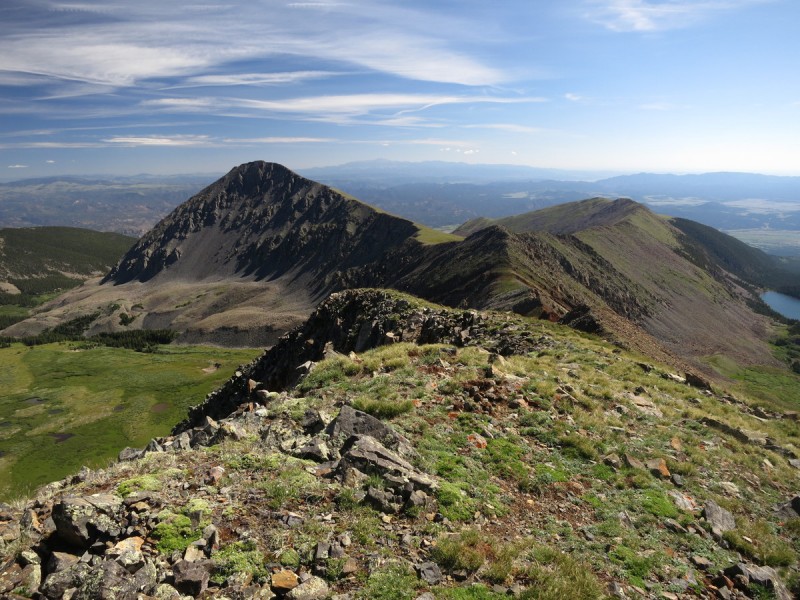
Only a short break on Thirsty to take a photo or two. Silly unranked but named peaks!
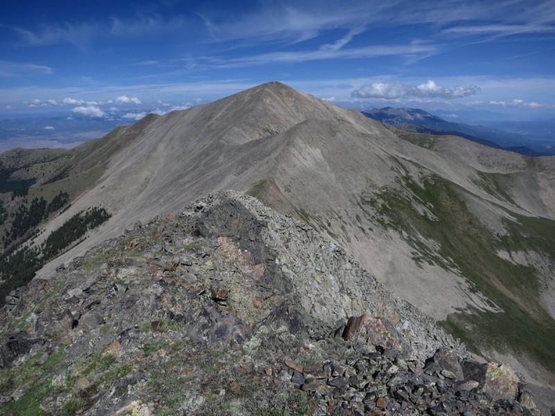
Looking at Eagle from Thirsty Ridge to Pt 13,123 B and Cottonwood
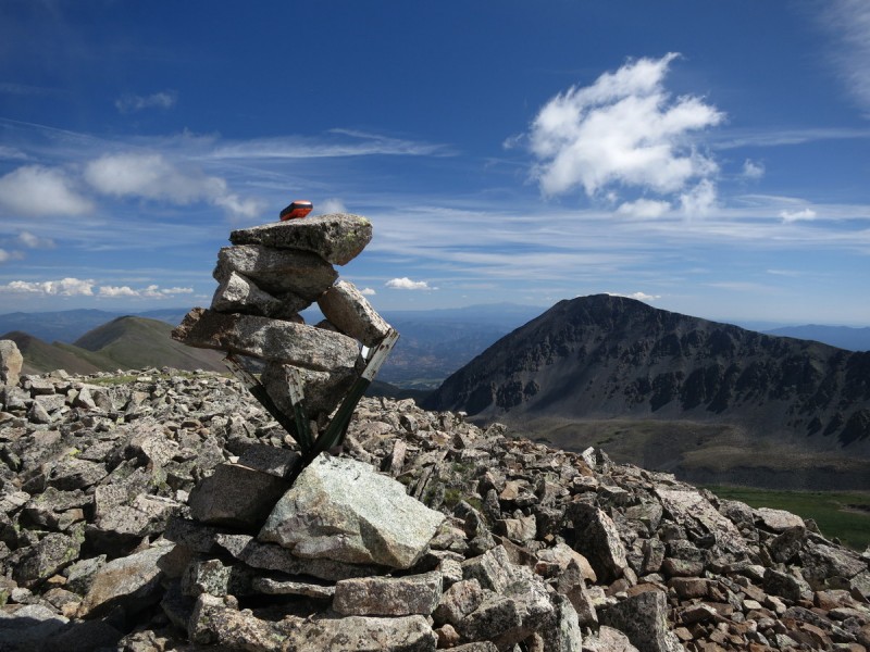
By the time I get to 13,123 B there is some mist building up from the San Luis valley. The puffies around me are starting, but as yet, not threatening. Still, I'd rather be on the last peak heading down. I never trust a forecast in the Sangres...
Summit cairn on 13,123 B with Eagle behind Cottonwood with some mist
Once on Cottonwood, the last peak of the day, I can take a much longer break. Ridge run done, weather looking misty to south, little puffies to north. I had looked for the trail between the saddle with 13,123 B, but it didn't stand out to me. Whereas the NE ridge looked far more pleasant than backtracking (into the mist), and there was a nice grassy slope that will take you down to the lake. I was sold.
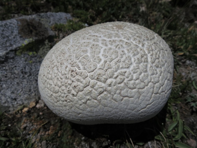
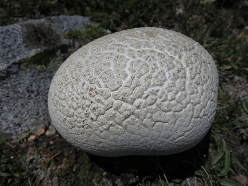
View north from Cottonwood Going down the NE ridge of Cottonwood A white mushroom
Once at my descent saddle, all the mist had dissipated and my rushing seemed to be unwarranted. But again, I never trust the weather in the Sangres - it seems to turn quickly!
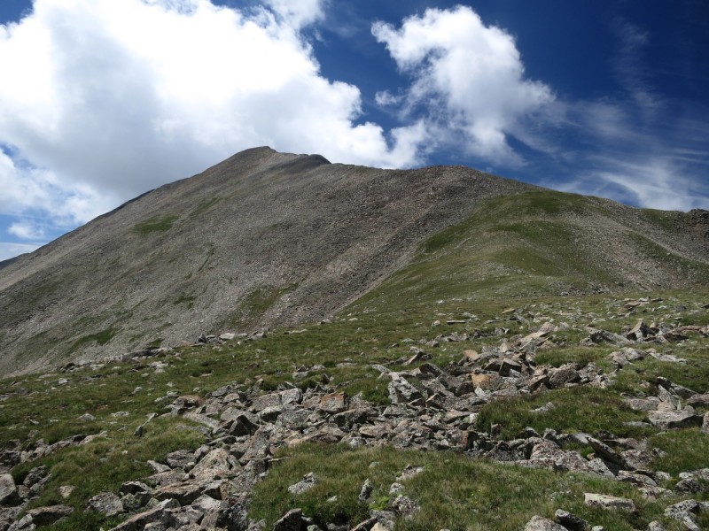
Looking back up the NE ridge from saddle View of Thirsty and Pt 13,123 B from saddle Cottonwood from upper lake
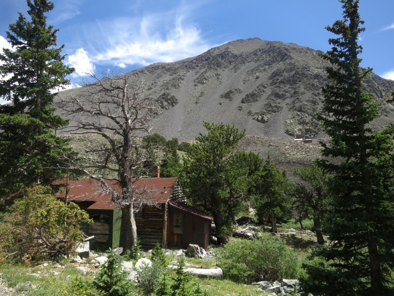
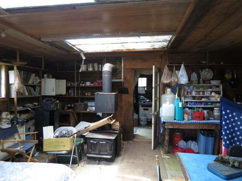
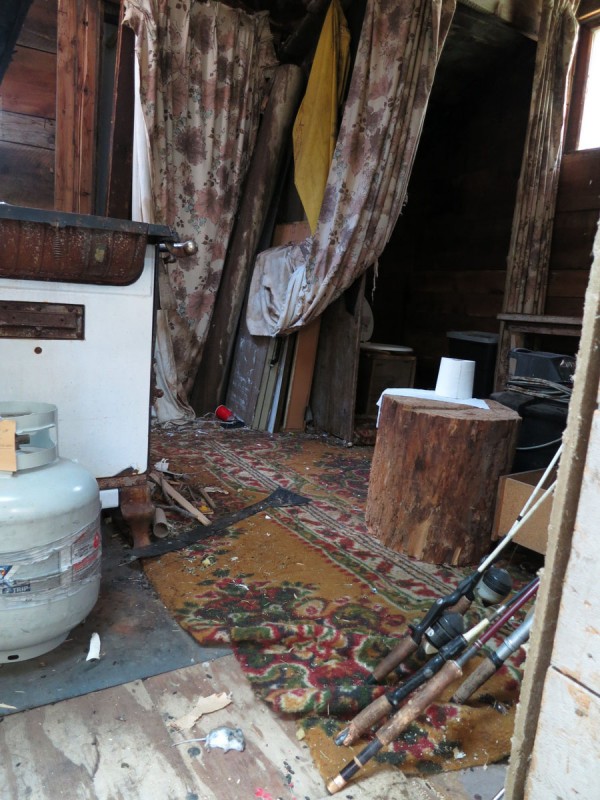
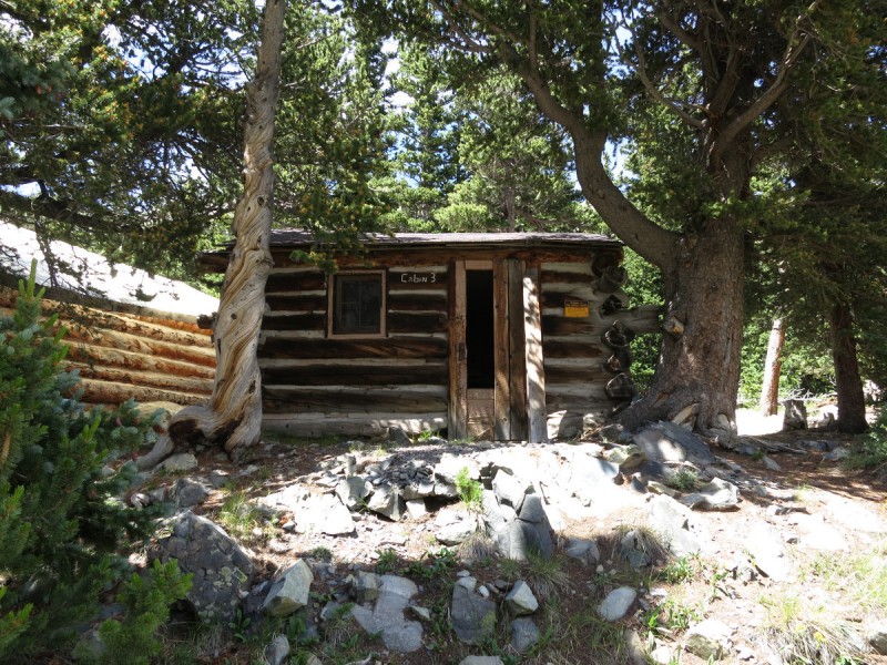
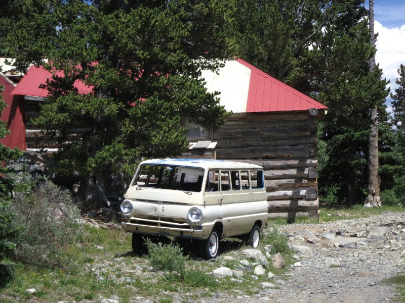
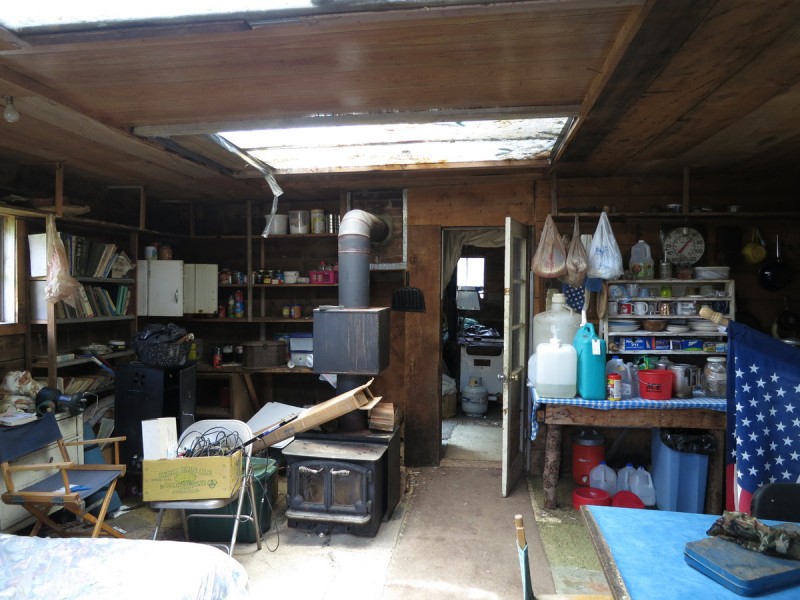
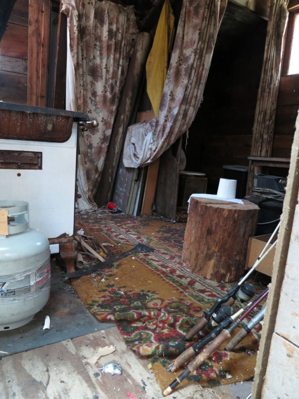
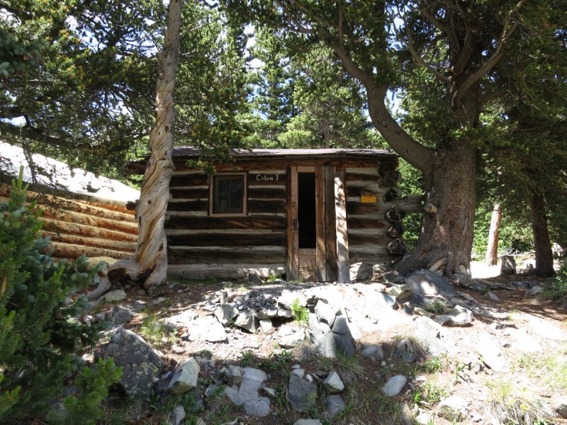
After the lake, I follow the old mining road back down to my truck. Along the way, I pass by the rotting mining town of Cloverdale. There is a sign by the upper most cabin talking about preserving history and don't take anything etc. Another sign talks about how the mine is responsible for preservation, while other cabins have the property of US government on them. So I go inside, or peak in.... Nasty nasty nasty!!! This is "preserving"? Everything is rotting, molding, weather and animal effected. After seeing a dead mouse, I turn around to leave asap. Then I see the dead moldy mouse - I run out! Bleh!
At the old mining town of Cloverdale That vehicle couldn't make it up the road now... Nasty "preserved" cabin EEEEEEEEeeeeeeeewwwwWWWW - Note dead mouse... Another cabin This is "preserving history"?
After the mining town ruins, it's just a rough road descent back to my truck in the hot sun. Happy that I don't find a flat on my truck. The road looks even worse in daylight, and I'm still surprised I didn't blow at least one tire. There is no way to pick a line to avoid scraping your side walls. The road is a minefield. All you can do is try to avoid the pokiest ones!
GPS Track(s) on Google Maps (made from a .GPX file upload):
View Map
GPX file cannot be downloaded (per author)
Thumbnails for uploaded photos (click to open slideshow):
One man's junk is another man's preserved history? Nice route, tho - one I will have to do (LOVE ridge runs). But I guess I'll pass on the history display.
That road back to Rainbow Lake after Cottonwood is NEVER-ENDING ! Me, Valerie, Kate, and Bob did the exact trip, except we slept at Ballman Reservoir and finished the trip up to Rainbow Lake early in the morning. The road is NOT fun. I was Valerie's spotter when she was driving her Liberty down (don't ask me to spot after one beer, because everything is funny......even when you scrape the bottom). :)
You're braver than I am, my nose caught one whiff of the pungent odor eminating from the cabins and I decided these were not cabins to explore. Nice TR, we almost got blown off the ridge from cottonwood to wulsten last week.
Certainly not much worth preserving in those cabins! Yechh!
PS - Kiefer and I did this group from the west (Garner/Major creeks) a few years back, provides 2WD access but it was a really long day (I think over 18 miles and 7k?). If you have the right vehicle, your route is definitely the way to go! Just thought I would toss out the alternate for people who can't make it up the road.
... at that point in the day, so I didn't get a whiff of anything in the cabins.
Jay521 - Yeah, those cabins are best to stop at the door, or just pass on by!
Jed - I'm glad I never have to drive that road again!
Vicki - Noted. No beer for Vicki if I need a spotter! :lol:
mennoguy - I thought about those 12ers, but I wanted off the ridge.
Chicago Transplant - Funny how access varies by group from west to east on which is closest/easiest.
Caution: The information contained in this report may not be accurate and should not be the only resource used in preparation for your climb. Failure to have the necessary experience, physical conditioning, supplies or equipment can result in injury or death. 14ers.com and the author(s) of this report provide no warranties, either express or implied, that the information provided is accurate or reliable. By using the information provided, you agree to indemnify and hold harmless 14ers.com and the report author(s) with respect to any claims and demands against them, including any attorney fees and expenses. Please read the 14ers.com Safety and Disclaimer pages for more information.
Copyright: Route information, text, risk factors, maps, GPX files, charts, photos, 14ers.com-created map imagery, flythroughs, and other content provided in this route description are copyrighted by 14ers.com and may not be copied, reproduced, republished, distributed, modified, or used to create derivative works without prior written permission.
Please respect private property: 14ers.com supports the rights of private landowners to determine how and by whom their land will be used. In Colorado, it is your responsibility to determine if land is private and to obtain the appropriate permission before entering the property.











 GPX file cannot be downloaded (per author)