Download Agreement, Release, and Acknowledgement of Risk:
You (the person requesting this file download) fully understand mountain climbing ("Activity") involves risks and dangers of serious bodily injury, including permanent disability, paralysis, and death ("Risks") and you fully accept and assume all such risks and all responsibility for losses, costs, and damages you incur as a result of your participation in this Activity.
You acknowledge that information in the file you have chosen to download may not be accurate and may contain errors. You agree to assume all risks when using this information and agree to release and discharge 14ers.com, 14ers Inc. and the author(s) of such information (collectively, the "Released Parties").
You hereby discharge the Released Parties from all damages, actions, claims and liabilities of any nature, specifically including, but not limited to, damages, actions, claims and liabilities arising from or related to the negligence of the Released Parties. You further agree to indemnify, hold harmless and defend 14ers.com, 14ers Inc. and each of the other Released Parties from and against any loss, damage, liability and expense, including costs and attorney fees, incurred by 14ers.com, 14ers Inc. or any of the other Released Parties as a result of you using information provided on the 14ers.com or 14ers Inc. websites.
You have read this agreement, fully understand its terms and intend it to be a complete and unconditional release of all liability to the greatest extent allowed by law and agree that if any portion of this agreement is held to be invalid the balance, notwithstanding, shall continue in full force and effect.
By clicking "OK" you agree to these terms. If you DO NOT agree, click "Cancel"...
Mount Logan - Wrapping Up The Mount Evans Wilderness
Mount Evans Wilderness
The following report is divided into two parts-
Part I: A quick summary of the Mount Evans Wilderness and the peaks within it.
Part II: Trip report for Mount Logan from my last ranked peak in the wilderness from September 2nd, 2012.
Part I: A Mount Evans Wilderness Summary
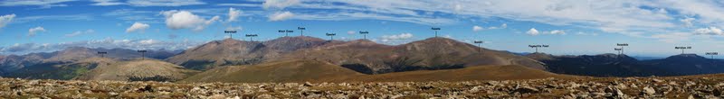
Known primarily for the two major 14ers within its boundaries, the Mount Evans Wilderness is located around 40 miles from Denver which makes it a great destination to grab a daytrip for city dwellers such as myself. Protection for the area started in 1956 under the designation of the "Abyss Lake Scenic Area" and it contained 5,880 acres. 24 years later in 1980, the area was officially designated by the US congress as the Mount Evans Wilderness Area and expanded to 74,401 acres. The wilderness name came from the prominent 14er located within its boundaries, Mount Evans. Mount Evans was originally called Mount Rosa, named by painter Albert Bierstadt for the woman he would later marry. In 1865 the Colorado legislature officially renamed Mount Rosa to the current name of Mount Evans, naming it for John Evans, the second governor of the Colorado territory. (Sad to have such a great mountain and great area named after a person like him, but that's all I'll say about that.) Within the 74,401 acres of the Mount Evans Wilderness are 18 ranked peaks (mountains with at least 300' of prominence), 77 miles of trails, bristlecone pines that age into the thousands of years, and even small regions of arctic tundra.
Though the scenery may not match the eye popping views of close by Lost Creek or Indian Peaks Wilderness areas, the Evans Wilderness does have its own beauty that I have been happy to discover during my trips there.
Painting by Albert Beirstadt of Mount Evans from Chicago Lakes during the first "assumed" ascent of the mountain in 1863.
Summary of Peaks Within the Mount Evans Wilderness
Mount Evans: 14,264' - Highest Peak in the Mount Evans Wilderness Normal Trailheads/Routes Used - Tour D' Abyss from Mount Evans Road, West Gully from Guanella Pass, West Ridge from Summit Lake, West Ridge from Echo Lake. Info/Trip Report - N/A, plenty on this site
Mount Bierstadt: 14,060' - 2nd Highest Peak in the Mount Evans Wilderness Normal Trailheads/Routes Used -. Tour D' Abyss from Mount Evans Road, West Slopes from Guanella Pass Info/Trip Report - N/A, plenty on this site
Gray Wolf Mountain: 13,602' - 3rd Highest Peak in the Mount Evans Wilderness Normal Trailheads/Routes Used -. East Slopes from Echo Lake, West Slopes from Guanella Pass. Info/Trip Report
Rosalie Peak: 13,575' - 4th Highest Peak in the Mount Evans Wilderness Normal Trailheads/Routes Used -. East Slopes from Deer Creek Trailhead, North Slope from Mount Evans Road. Info/Trip Report
"Epaulie": 13,530' - 5th Highest Peak in the Mount Evans Wilderness Normal Trailheads/Routes Used - South Slopes from Deer Creek Trailhead, North Slopes from Mount Evans Road. Info/Trip Report
Rogers Peak: 13,391' - 6th Highest Peak in the Mount Evans Wilderness Normal Trailheads/Routes Used - Mount Evans Road from Echo Lake, West Slopes via Chicago Lakes Trail from Echo Lake, West Slopes from Summit Lake. Info/Trip Report
Warren Peak: 13,307' - 7th Highest Peak in the Mount Evans Wilderness Normal Trailheads/Routes Used - West Slopes via Chicago Lakes Trail from Echo Lake, West Slopes from Summit Lake.
Mount Logan: 12,870' - 8th Highest Peak in the Mount Evans Wilderness Normal Trailheads/Routes Used - East Slopes from Deer Creek Trailhead, West Slopes from Threemile Creek. Info/Trip Report - See trip report below.
Sugarloaf Peak: 12,513' - 9th Highest Peak in the Mount Evans Wilderness Normal Trailheads/Routes Used - South Slope from Hells Hole TH, South Slope from Echo Lake. Info/Trip Report
Kataka Mountain: 12,441' - 10th Highest Peak in the Mount Evans Wilderness Normal Trailheads/Routes Used - Threemile Creek Trail from Threemile Creek Trailhead. Info/Trip Report
Geneva Mountain: 12,335' - 11th Highest Peak in the Mount Evans Wilderness Normal Trailheads/Routes Used - North Slopes from Guanella Pass or Duck Lake Winter Closure. Info/Trip Report
Chief Mountain: 11,709' - 12th Highest Peak in the Mount Evans Wilderness Normal Trailheads/Routes Used - East Slopes from Squaw Pass Road
Royal Mountain: 11,495' - 13th Highest Peak in the Mount Evans Wilderness Normal Trailheads/Routes Used - North Ridge from Deer Creek TH Info/Trip Report
Meridian Hill: 11,490' - 14th Highest Peak in the Mount Evans Wilderness Normal Trailheads/Routes Used - West Ridge from Meridian Trailhead Info/Trip Report
Warrior Mountain: 11,273' - 15th Highest Peak in the Mount Evans Wilderness Normal Trailheads/Routes Used - Utility Road from Squaw Pass Road
Spearhead Mountain: 11,244' - 16th Highest Peak in the Mount Evans Wilderness Normal Trailheads/Routes Used - Threemile Creek Trail from Threemile Creek Trailhead. Info/Trip Report
UN 11053: 11,530' - 17th Highest Peak in the Mount Evans Wilderness Normal Trailheads/Routes Used - West Slope from Meridian Trailhead Info/Trip Report
UN 10780: 10,780' - 18th Highest Peak in the Mount Evans Wilderness Normal Trailheads/Routes Used - North Slope from Threemile Creek Trailhead Info/Trip Report
Unranked Extras West Evans: 14,256' - Unranked Peak Normal Trailheads/Routes Used - Traverse coming or going from normal Mount Evans routes.
Epaulet Mountain: 13,523' - Unranked Peak Normal Trailheads/Routes Used - North Slope from Mount Evans Road, South Slopes from "Epaulie".
Mount Spalding: 13,842' - Unranked Peak Normal Trailheads/Routes Used - East Ridge from Summit Lake TH, East Ridge from Echo Lake.
The Sawtooth: 13,620' - Unranked Peak Normal Trailheads/Routes Used - Within the traverse between Bierstadt and Evans.
UN12959: 12,959' - Unranked Peak Normal Trailheads/Routes Used - Hells Hole TH, located between Gray Wolf and Sugarloaf.
Part II: Mount Logan via East Slopes
Trailhead: Deer Creek Trailhead - Trailhead Info Here
9.5 Miles
3,580' Elevation
Pictures Below Write-Up
Trip Data: Location - Mile Mark - Elevation - Coordinates
Deer Creek TH - 0.0 - 9,275' - 39.51063,105.56679
Left At Trail Split - 0.1 - 9,310' - 39.51082,105.56841
Left On Southwest Road - 0.4 - 9,360' - 39.51210,105.57195
Road End - 1.5 - 10,310' - 39.50288,105.58566
Upper Lake - 3.1 - 11,170' - 39.50127,105.60689
Slope Start - 3.4 - 11,600' - 39.49694,105.61229
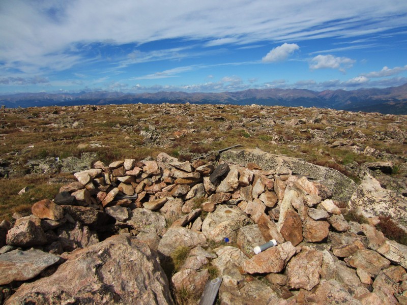
Logan Summit - 4.75 - 12,870' - 39.49584,105.63084
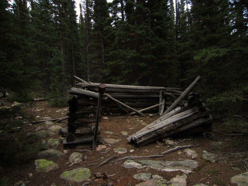
I had been trying to get the monkey off my back and finish off this wilderness for quite a while, but bigger things (like a baby) kept popping up. With Mount Logan sitting as my last one, I was presented with two ascent options: 1- Threemile Trailhead from the west, or 2- Deer Creek Trailhead from the east. The Threemile route was longer, but lots of trail time makes it a more straightforward hike. The Deer Creek route is shorter, but a "rougher" ascent with more off trail hiking. I planned on taking the west route from Threemile Creek and was able to wrangle Sarah into joining. (Didn't have to twist her arm too much.) We originally planned on starting just before daylight since I was trying to be back in town before too late, but since Sarah had an hour drive just to meet me in Denver we decided to push back our time and change the route to Deer Creek from the east to make it a shorter day. (Sarah was nice enough to go along with my flip-flopping of routes...)
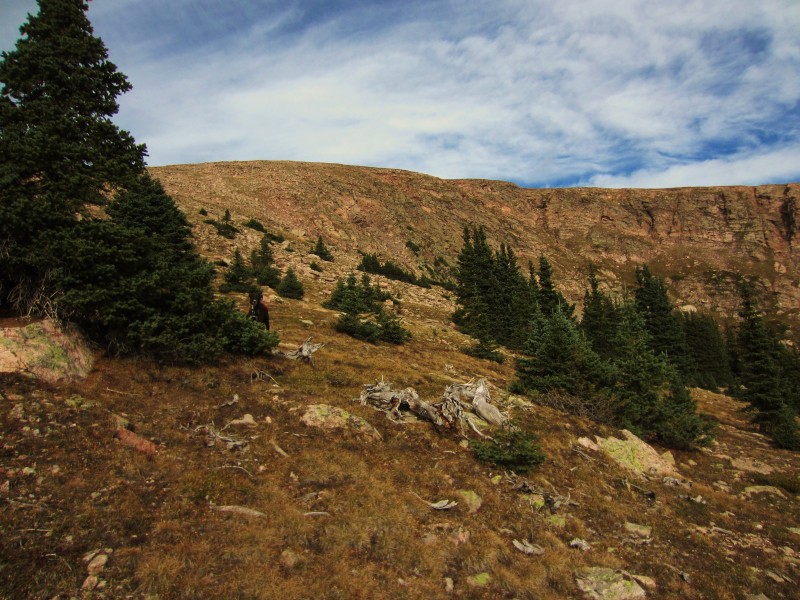
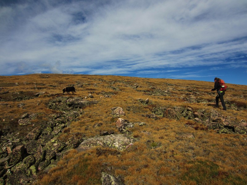
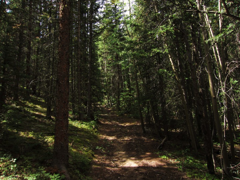
We made it to Deer Creek Trailhead just after daybreak and geared ourselves and the pups. We headed west along the trail for only 0.1 miles from the trailhead before we met the first trail intersection. We angled onto the left trail and continued on. After 0.4 miles along this trail, we met up with an old road that angled SW. We turned left unto the road and started gaining the first real elevation of the day. The road allowed an easy ascent of about 1,000' over the next 1.1 miles. Once the road tops out (it is a small clearing area, and you'll be able to notice because the road starts descending again) a couple faint trails can be found headed west. We chose the trail on the right and followed it as it maintained a western heading. The trail was faint enough that we lost it a few times, but kept finding it again. A good rule of thumb through here is to make sure the creek (Camp Creek) remains on your left. After around 1.5 miles of faint trail/easy bushwhacking, we arrived at a lake that resides around 11,200'. From the lake, we were able to get a good view of the large east slope that we were hoping to gain. We noticed a rather distinct gully that led almost directly to the slope top from the opposite side of the lake. We decided to aim for this gully and see how it went.
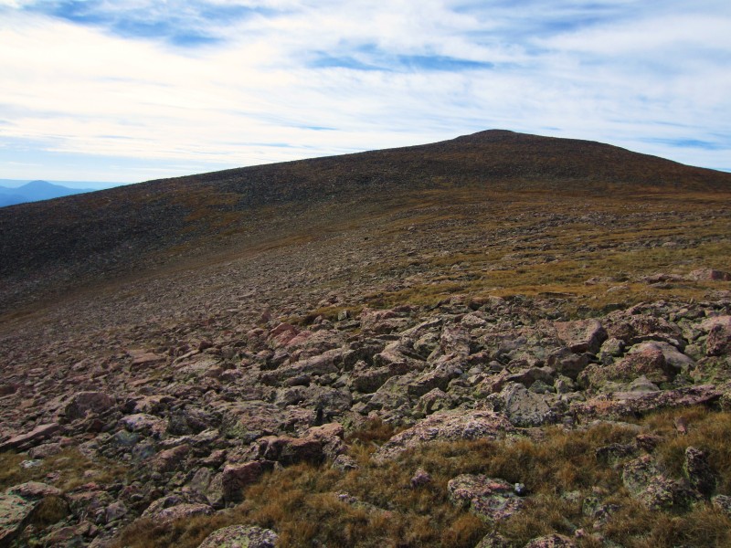
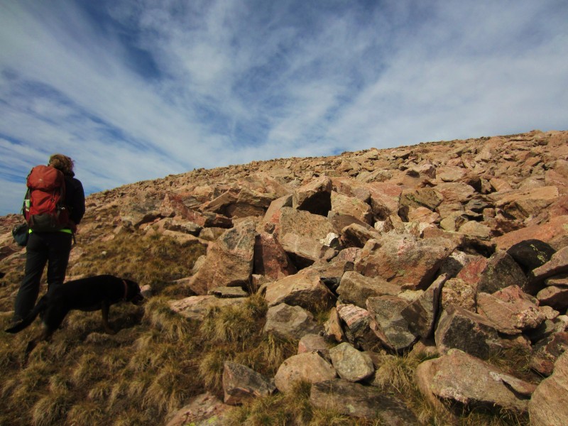
We circled around the NW side of the small lake which involved tiptoeing through some wet areas, but we were treated to a nice view of a tall waterfall to our right that seemed to originate somewhere above in Logan's steep east couloirs. We reached the gully we had been aiming for, but the closer look made us realize we could stay just to the right of the gully and ascend some steep slopes directly up to treeline. After a few hundred feet of huffing and puffing, we popped out above treeline and changed our heading from SW to NW. This enabled us to circle around the south side of the large eastern couloirs that prevented easy access to the final gentle eastern slopes up to the summit. There was a bit of large talus hopping from 12,200' to around 12,500', but after that the slopes eased and presented us with a nice grassy walk for the remaining .35 miles to the summit.
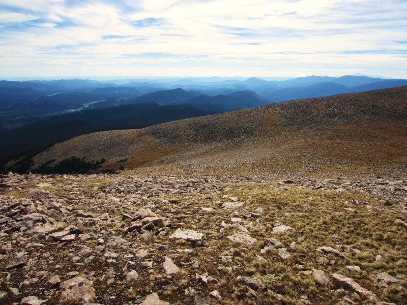
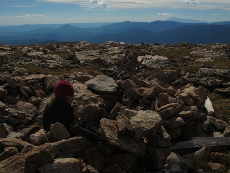
We spent some time enjoying the sights. To the north was the large expanse of the Mount Evans Wilderness, and to the south was the northern section of the Lost Creek Wilderness. After a while, we decided to mosey on back down. We descended our same route back to the trailhead, minus one small excursion to check out another trail.
It was an enjoyable trip with good company. Now back to the Lost Creek Wilderness....
Map of the day.
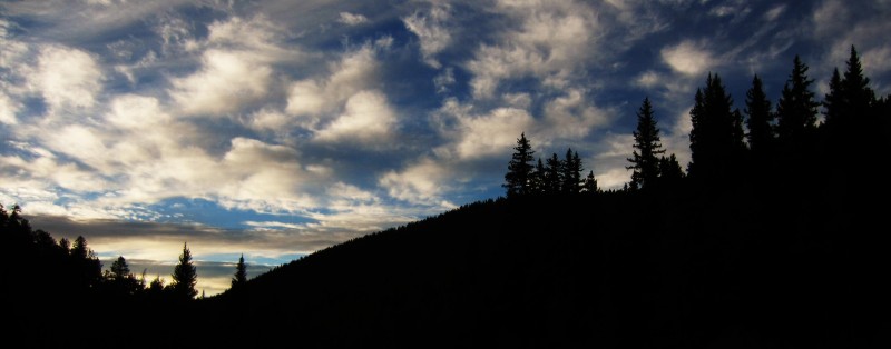
Sunrise over Deer Creek Trailhead.
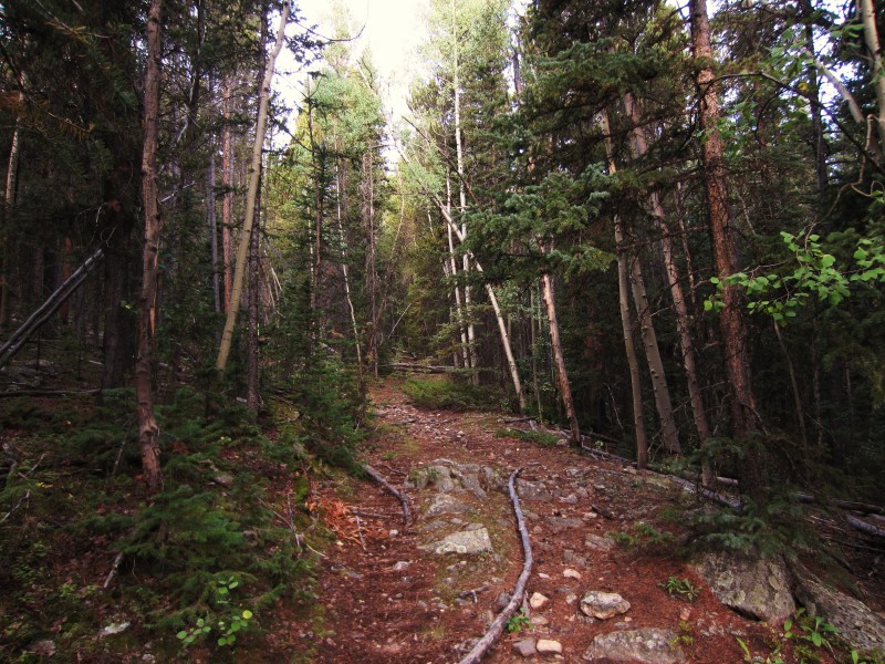
Starting up the old road around 9,750'.
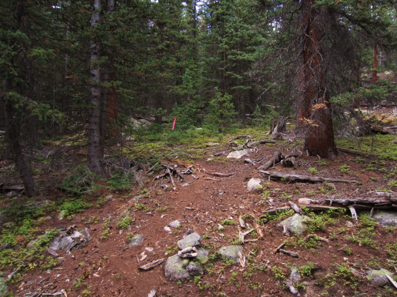
Faint trail that we followed west after we departed the old road.
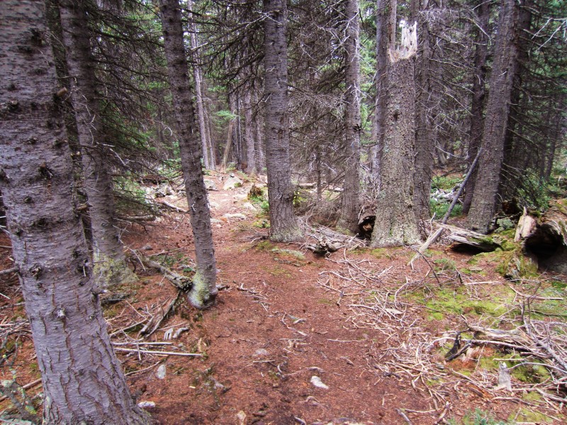
The trail from 10,400' through 11,000' was pretty difficult to follow.
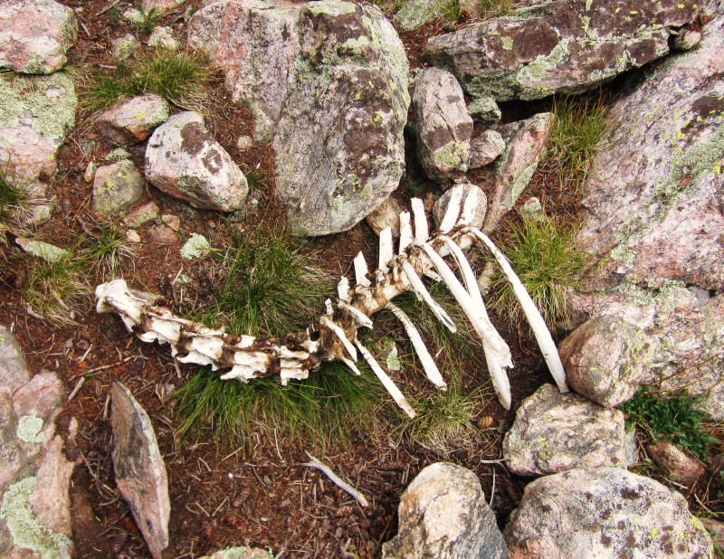
Poor guy needs to put on weight.
Sarah crossing a small talus field just below the lake.
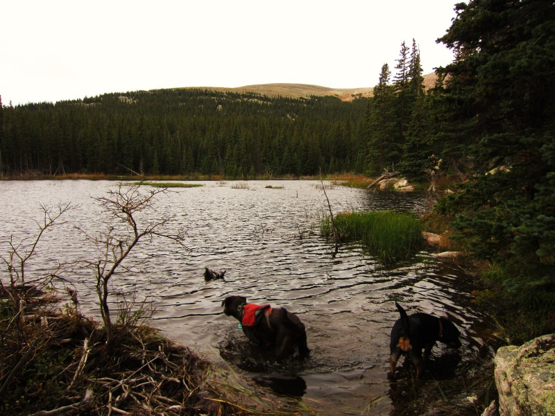
Dogs enjoying a quick dip.
Close up of the slope we were aiming for. The gully seen was our original plan, but we ended up going just to the right of it
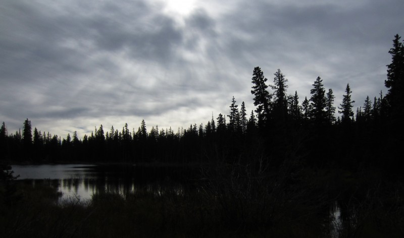
Early morning clouds above the lake.
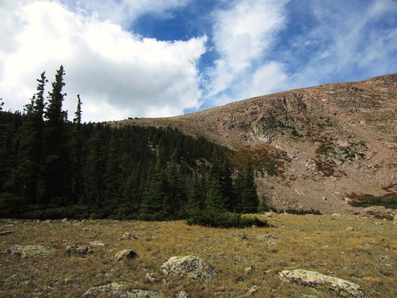
Eastern couloirs on the right, our path on the left. About to begin the steep slope.
Closing in on treeline, Sarah looking back at where we came.
On the slope, the top of the eastern couloirs on the right.
Pt. 12509
Looking back at the saddle between Mount Logan and Pt. 12509.
Sarah starting the talus hop near 12,500'.
The talus relents and the final push becomes a pleasant, grassy stroll.
Mount Logan summit.
Breaktime!
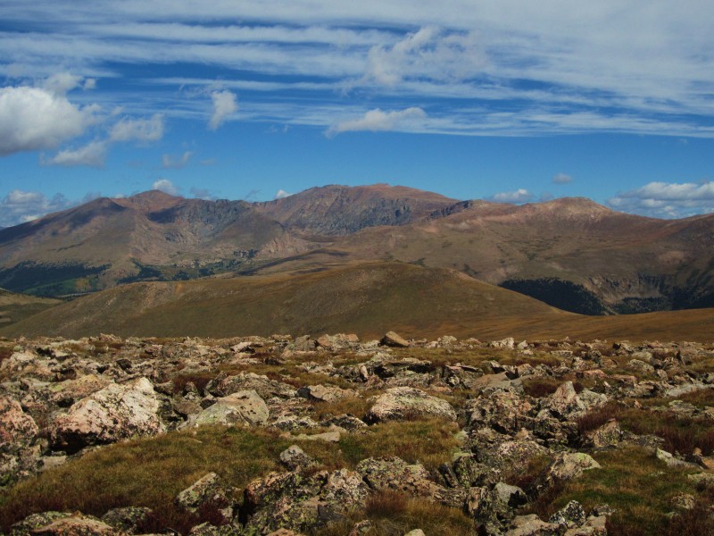
Mount Evans massif.
Myself and Rufus, my first "decent" sized wildereness complete.
Enjoying this and all your other Mount Evans, Indian Peaks, and Lost Creek Wilderness trip reports very much. Thanks for putting up so many solid and informative TR's on these often overlooked peaks in our backyard.
Caution: The information contained in this report may not be accurate and should not be the only resource used in preparation for your climb. Failure to have the necessary experience, physical conditioning, supplies or equipment can result in injury or death. 14ers.com and the author(s) of this report provide no warranties, either express or implied, that the information provided is accurate or reliable. By using the information provided, you agree to indemnify and hold harmless 14ers.com and the report author(s) with respect to any claims and demands against them, including any attorney fees and expenses. Please read the 14ers.com Safety and Disclaimer pages for more information.
Please respect private property: 14ers.com supports the rights of private landowners to determine how and by whom their land will be used. In Colorado, it is your responsibility to determine if land is private and to obtain the appropriate permission before entering the property.