Download Agreement, Release, and Acknowledgement of Risk:
You (the person requesting this file download) fully understand mountain climbing ("Activity") involves risks and dangers of serious bodily injury, including permanent disability, paralysis, and death ("Risks") and you fully accept and assume all such risks and all responsibility for losses, costs, and damages you incur as a result of your participation in this Activity.
You acknowledge that information in the file you have chosen to download may not be accurate and may contain errors. You agree to assume all risks when using this information and agree to release and discharge 14ers.com, 14ers Inc. and the author(s) of such information (collectively, the "Released Parties").
You hereby discharge the Released Parties from all damages, actions, claims and liabilities of any nature, specifically including, but not limited to, damages, actions, claims and liabilities arising from or related to the negligence of the Released Parties. You further agree to indemnify, hold harmless and defend 14ers.com, 14ers Inc. and each of the other Released Parties from and against any loss, damage, liability and expense, including costs and attorney fees, incurred by 14ers.com, 14ers Inc. or any of the other Released Parties as a result of you using information provided on the 14ers.com or 14ers Inc. websites.
You have read this agreement, fully understand its terms and intend it to be a complete and unconditional release of all liability to the greatest extent allowed by law and agree that if any portion of this agreement is held to be invalid the balance, notwithstanding, shall continue in full force and effect.
By clicking "OK" you agree to these terms. If you DO NOT agree, click "Cancel"...
Chicago Peak, "Tomboy Peak", Telluride Peak, Pt 13,510B, Trico Peak, "T 10", Three Needles
Trailhead (s): Either side of Red Mountain Pass area on Hwy 550...
Mileage: 14.7
Elevation Gain: 6,922'
Time: 13:13
Beta: Furthermore TR
Day 1: Part I
NOTE: I DO NOT recommend the north ridge of Trico Peak to anyone!!!!!!
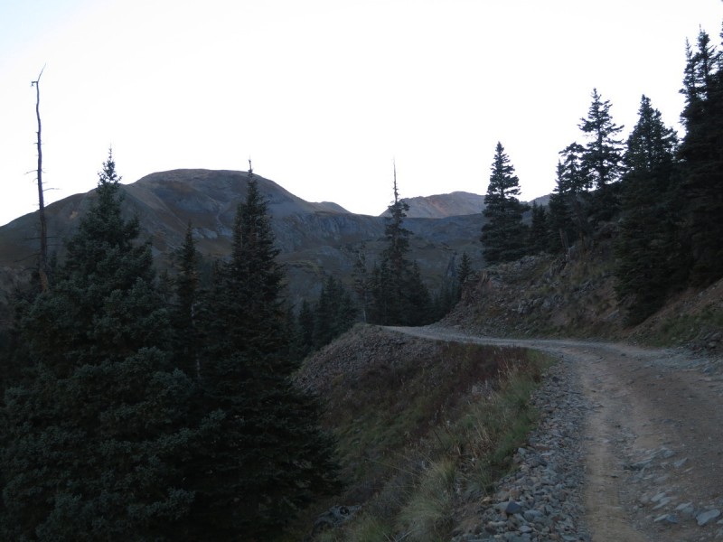
With Homie Prater and Eric all going for some massive endurance peak challenges recently, I thought I would do one of my own. I'll never be as fast as any of these guys, let alone Furthermore, but I do like to challenge myself to huge endurance feats from time to time. With two years of Paleo down, I also wanted to see what I could do in a reasonable time frame. I knew 15 miles was ok, but how much elevation could I throw down? 7K? 8k? Or... 10K? Eeeeks?! With a horde converging on Ouray for the big finisher the next day, I would also have a few options to find a ride in case I bailed early. I stashed a bike at the destination trail head (below Pt 13,159, mile marker 76, Hwy 550) and hoped I wouldn't have to use it. That road has NO SHOULDER, with many cliffs, steep cliffs.
The Trails Illustrated map has this section split between two sides of the map. AND both sides latitudes don't line up. I had found a nice pull-out for the Bear Creek Pass Road just south of the Red Mountain Pass that I thought would make a good starting point. Then I realized after about a 100 page flips of the map, that this wasn't my starting point. So I drove up and over Red Mtn Pass to the north to find the start of the defunct trail I would be following. I found a scary sign saying "Beware of unexploded ordinances". Uh, no. So I decided to find another parking place and then call it a night.
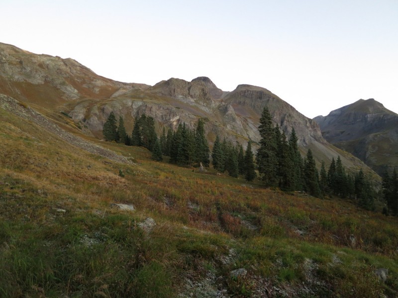
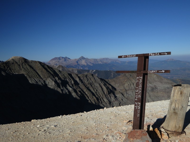
Early next morning, I try to find my pull-out, over shoot it, have to turn around and find it again (Note, now I don't remember how far away my truck is from the pass). I start up a steep little slope and start traverseing over to where there is an old trail marked on my Topo! Knowing that it's on my Topo! map and not on the Trails Illustrated tells me I'm going to have a hard time following it once I find it. And so I do. game trails mix in with it, and divert me, until I find it again. Overall, I knew I was shooting for Imogene Pass, and used the maps as guidance for finding my way.
Lake reflection Route up to pass
The closer I got to the pass, the more excited to get the ridge run started. It was going to be a long day, and I wanted to get going. Just had to get the initial annoying elevation gain done.
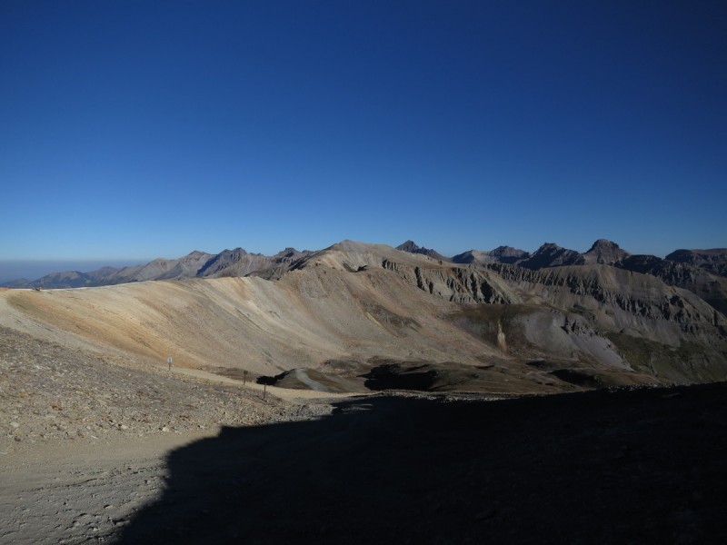
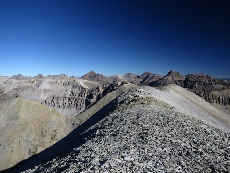
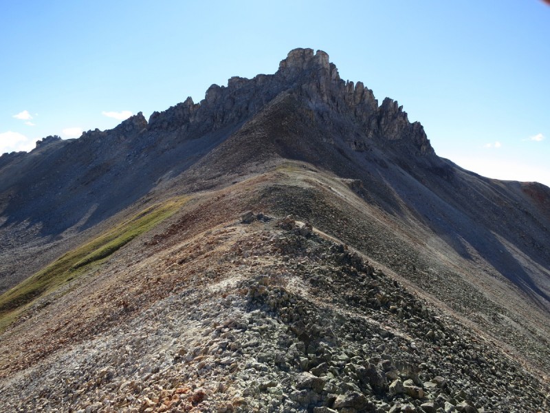
Once at the pass, I had a view of my first peak, far away. So I did a walking break, eating a snack as I opened up my legs for a nice flat walking stretch. Some minor annoyances along the ridge that are easily bypassed on the right/north.
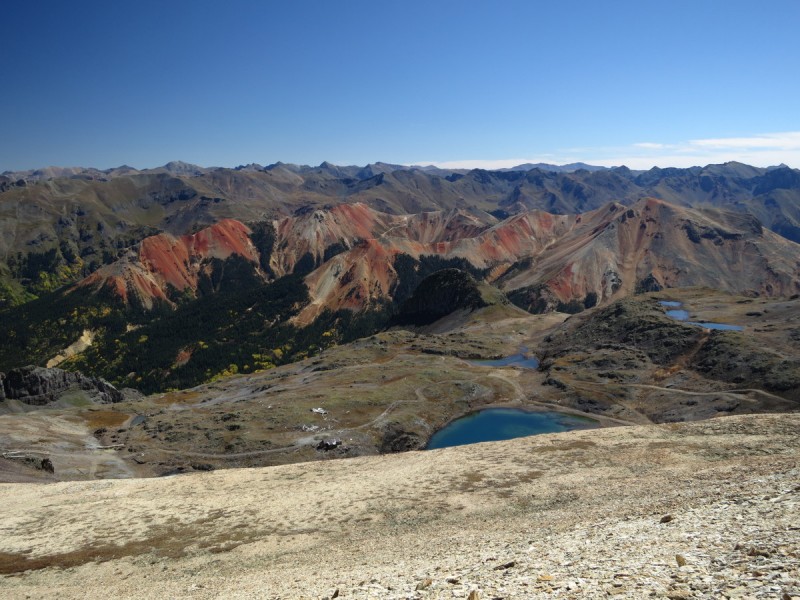
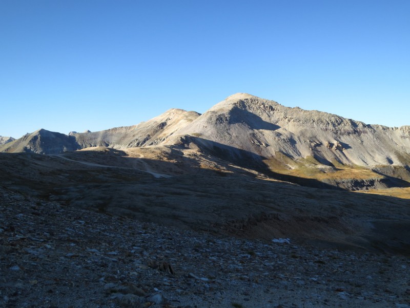
View from Imogene Pass of Chicago Peak Pass down to Telluride, with Wilsons in background Ridge to Chicago. Difficulties passed by to north of ridge
From the first summit I looked NW to try and find the next one. Hmmm I hope it's not that ridge with all the gendarmes! I never thought to look lower at the tiny peak below it. But as I knew Furthermore had done this ridge section in the dark, it couldn't be the rougher ridge. I didn't notice "Tomboy" until I got to the connecting ridge. Then it made sense! It was just so incredibly tiny and not rough looking like it's neighbors!
Wilsons and Lizzard Head Looking north from Chicago, which ridge to "Tomboy"? Oh, that's "Tomboy Peak"? Huh, it's soooo tiny!
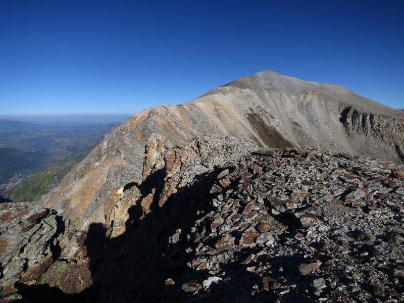
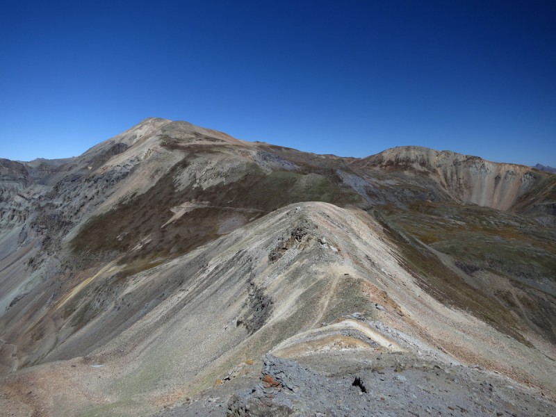
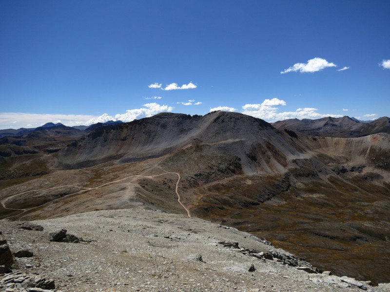
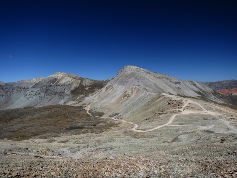
Didn't stay long on Tomboy or my return to Chicago Peak, just kept walking along the ridge. Making it back to Imogene Pass and the off-road enthusiasts before noon. From there I contoured around the bump at the pass and on to the unranked Telluride Peak. I don't have plans to do the unranked 13ers, but this one had a good view, and it was "in my way".
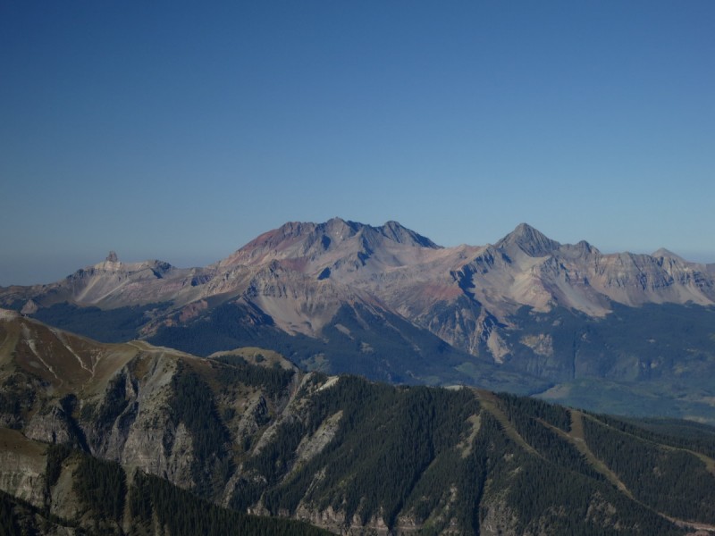
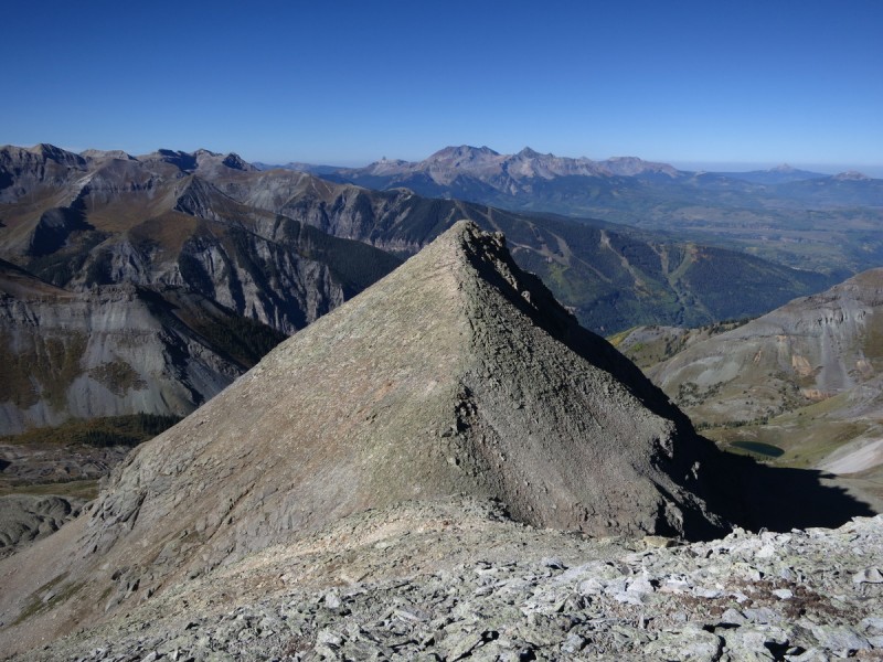
From Telluride it was a quick 30 minutes over to Pt 13,510B where I met two guys who were looking to go over to Telluride Peak and then down to the 12er Ajax on the ridge line down to Telluride. Spent my longest time on a summit today, talking to the only other people I would see on a peak. I told them of my plans, and what I had already done that day, and seemed impressed. I was feeling good at this point, so I knew I had a decent chance at completion, if I could go fast enough.
Looking over to 13,510B from Telluride Peak Looking at Imogene Pass and "T 7" Red Mountain and the mining area
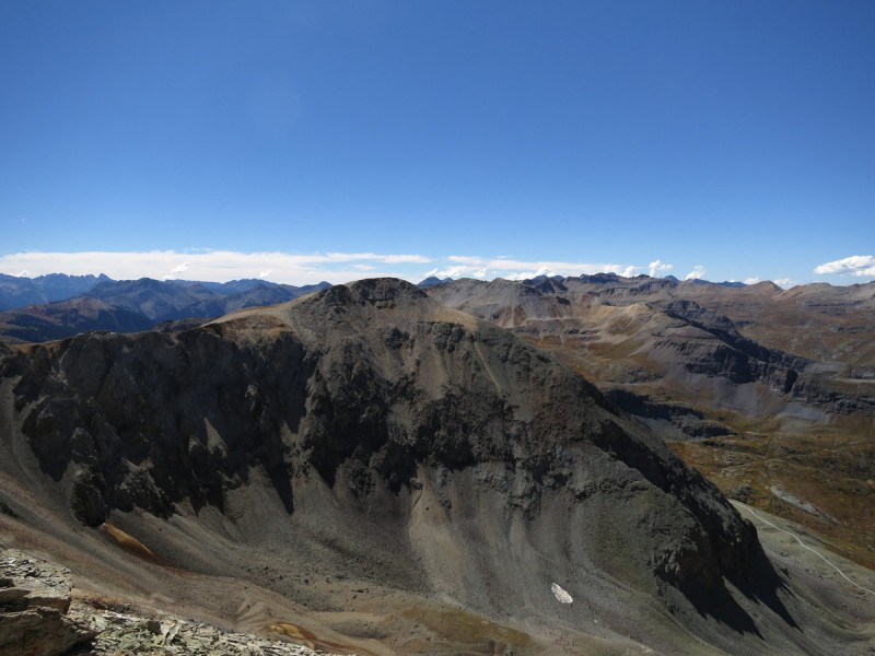
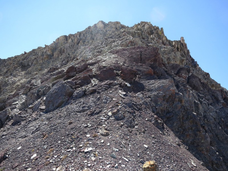
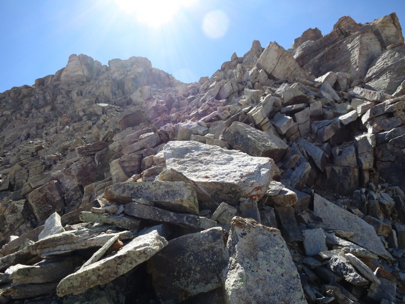
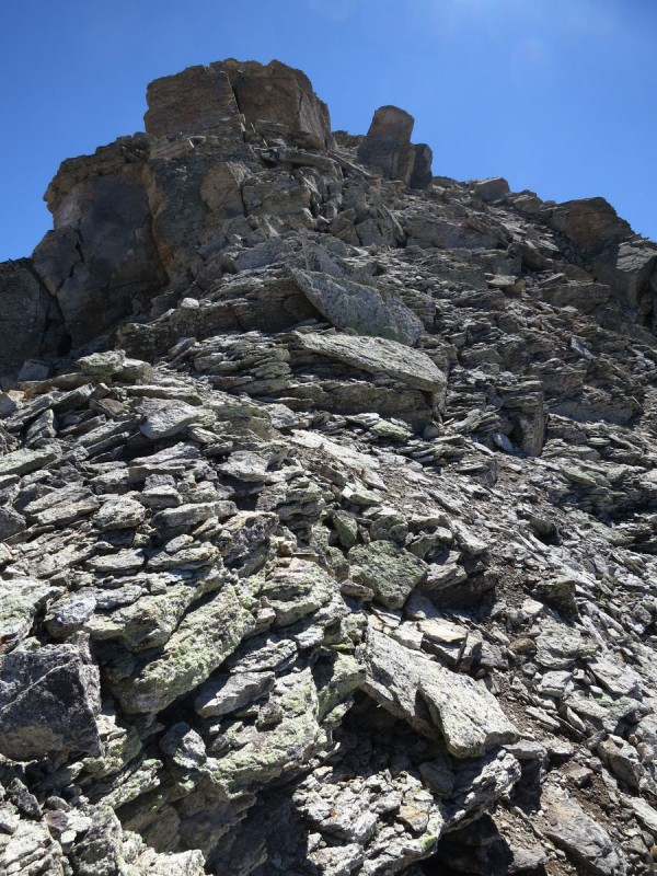
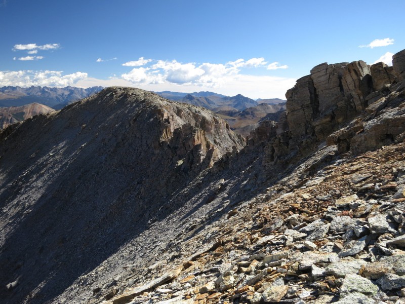
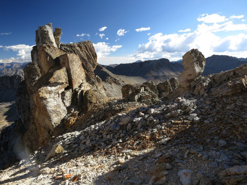
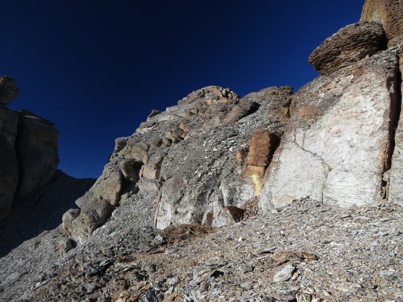
From Pt 13,510B would be the crux of the day, the north ridge of Trico Peak. Could I do it, or would I have to drop down and around? Furthermore describes the ridge as "it appeared to be climbable; however, the rock looked extremely loose. Even climbing, the rock appeared to be super sketchy but was surprisingly somewhat solid as we made our class 3 climb to the summit". Well, I found it to be craptastically loose and dangerous for 10-20' and then it became loose but surprisingly solid, and as I got closer to the summit, very solid.
So, unless you have cojones of steel or can find your happy Zen place, do not attempt this ridge! I went up the red-purplish rock until the base of the grey loose crap. The grey rock is side table - giant platter sized slabs pointing down slope at high angle - at you. So I traversed to the left. Still crap. Traverse some more. Hmmm... I was about to turn around and descend, when I found one area that might work. So I got into my cat like crawling pose where all 4 limbs had equal body weight, and I crawled up the loose blocks. Once over this initial 10-20' section, I was able to find more stable rocks, and slowly move back to ridge proper, where I found an opening in the ridge prominence and got onto the first stable rock of the ridge... Phew!!!
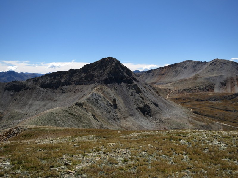
Trico Peak from 13,501B The north ridge of Trico. Gets stupid loose after the purple rocks Loose, nasty north ridge of Trico Making the north ridge, after the horrid loose rock. Summit is near!
On the summit of Trico, I take another longish break, and take off my boots and socks. Just long enough to give my feet rejuvenation for the remainder of the day. The descent off of Trico goes quickly, and then I head over to the listed double summit of "T 10". Here the craptastic loose San Juan rock continues, but no more giant widow maker blocks. Just scree, crappy scree.
Looking back at Pt 13,510B Ridge to "T 10" from Trico Looking back on Trico's easier ridge
From the summit of "T 10" I try to figure out how to get over to the other double summit. I'm on the one marked on maps, but it would be nice to get over to the other one. The slope on the left looks horrid, slope on the right looks bad. So instead I head in the Telluride direction and find a good slope to drop down, and then head over to the saddle with Three Needles.
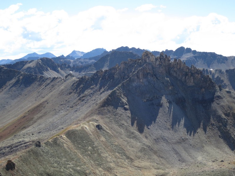
Sneffels Range and some color Three Needles from "T 10" "T 10"'s ridge line "T 10" slope to NE
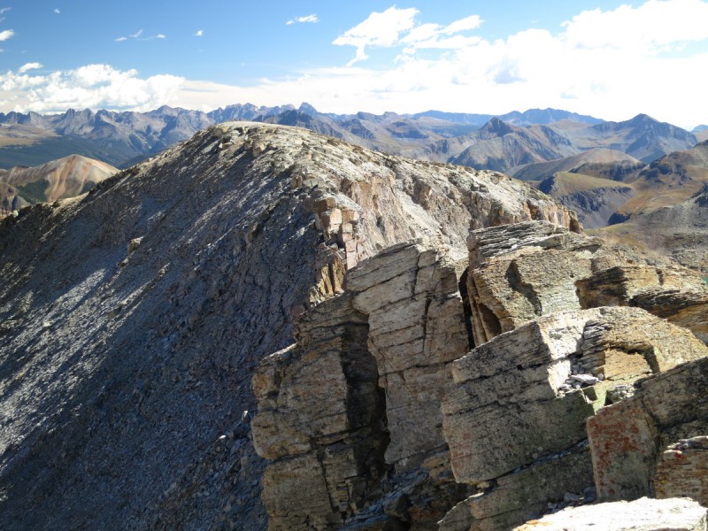
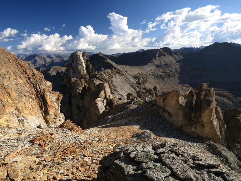
Looking up at the south ridge of Three Needles, I wasn't sure which scree gully to painfully claw my way up. So I went with the first prominent one to the south and started up, painfully slow. I saw foot prints, so I was hoping I found the right one. It took forever to ascend this gully as it was so steep and loose. But once I got up top of the ridge, I knew I found the correct one. Some very pretty ridge features in the setting sun.
Connecting ridge to Three Needles from "T 10" Nifty evening shadows nearing Three Needles Summit Solid climbing up to summit of Three Needles
Once on the summit at 5pm, I had some decisions to make. I felt awesome, my legs were holding up nicely, and I could continue onto the next 2 peaks at least. I had been texting Darrin my progress on the peaks as I could from summits, but I hadn't heard an update on where he was since Salida. So on my 7th summit, I find out he's already at the campsite! Well, huh. Guess I better find a good way down to the road and quickly! So I try texting him locations along the road... he doesn't have a map. Frak!!! I could run the very long ridge over to "T 11" and down to the original meeting place where he should be able to find me on my planning maps I sent him. But that could also take quite a bit of time too on the craptastic loose San Juan scree. So I tell him to go to the Bear Creek Road just south of Red Mountain Pass (mile marker 80), since he should be able to find it. This took plenty of map shuffling and flipping on a windy summit. Of course, as soon as I drop down the scree gully, I realize that where I asked him to pick me up, was pretty close to where my truck was. Damn! Nothing to do about it now, out of cell range, and I had an hour and a half to meet him, TWO DRAINAGES over.
The Three Needles ridge features over to "T 11"
So I went over the other saddle to "T 10" and dropped down into that valley. The road was on the far side and the wound around the next ridge line over to the north. I didn't want to waste time and walk over to the road. So I did a stupid descending traverse along the cliff faces to get to the road. Then it was an easy walk until where I found Darrin, part way up a high clearance 4WD road with his Honda Accord. Now my legs were pounded into soreness by the speedy descent. 0.5 miles along Hwy 550 later, I was at my truck.
"T 10" in the shade The drainage/cliffs I dropped to meet Darrin
So, guess what. You can turn this crazy traverse - car/bike shuttle into a loop! Hurray! Just start at about Red Mountain Pass. Crazy. I was a bit sad that I couldn't get to "T 11" and Pt 13,159, as I knew I had the legs for it, just not enough time. Furthermore did go until almost 8pm, but I didn't want Darrin to miss out on the campsite festivities for that. At least now I know that 7K is no problem in a day! Next year, I'll try for more!
My GPS Tracks on Google Maps (made from a .GPX file upload):
I thought the overall elevation gain on this traverse made this an impressive endurance workout until I realized this was day no. 2! Now I'm at a loss for words! :D
Given how much you have been hiking this summer, I bet you could easily pull off a 10k gain day. For me it's more of the total descent that leaves me feeling beat up at the end of the day. Great trip report and pictures!
Usually its the vertical that gets me, especially a lot of up and down. A big day every once in a while sure does feel good though, some of the most memorable days are also the biggest 8)
Way to go, Otina! I'm impressed with your 13er creativeness. I looked at Trico's north ridge and balked because there was still a lot of snow, so good to hear it really is crappy. 3 Needles sure is a cool summit. Thanks for the beta on the peaks I have left in there!
This area is where I learned to move on crappy rock. Three Needles was one of my favorites. I didn't think Trico was that bad.
Without a doubt, you could do more gain and mileage. All long days equate to are consistency and you have certainly been consistent. Just wait until you start doing 7K regularly. Then comes 8, 9....
Ridge runner - I expected to feel it more after the previous day of 5K, but I guess that's a good sign that I could do 10K. Just have to get those peaks closer spaced! :lol:
MatB - Having a partner for Trico would make me more nervous, as you would have to climb horizontally and hope that the entire slope doesn't go under one/both people. I was more worried about a "rock avalanche" than rock fall. The angle of repose on those rocks was too high for my comfort level.
Chicago Transplant - The downhill is what gets me. I try to save my knees by using up my quads until they turn to jello.
Kevin - Glad to help! Maybe you'll do a better job on the T 8 to T 7 ridge than I did. It's a nice loop, except for that section!
Furthermore - I am certainly getting much better moving on crappy rock, but Trico spooked me. I may have been thinking a bit too much about Rob and Hagerman, as I looked up at that slope.
Caution: The information contained in this report may not be accurate and should not be the only resource used in preparation for your climb. Failure to have the necessary experience, physical conditioning, supplies or equipment can result in injury or death. 14ers.com and the author(s) of this report provide no warranties, either express or implied, that the information provided is accurate or reliable. By using the information provided, you agree to indemnify and hold harmless 14ers.com and the report author(s) with respect to any claims and demands against them, including any attorney fees and expenses. Please read the 14ers.com Safety and Disclaimer pages for more information.
Please respect private property: 14ers.com supports the rights of private landowners to determine how and by whom their land will be used. In Colorado, it is your responsibility to determine if land is private and to obtain the appropriate permission before entering the property.
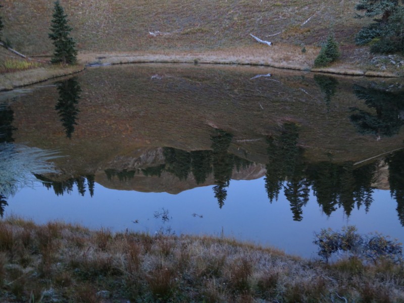

 Lake reflection")
 Route up to pass")
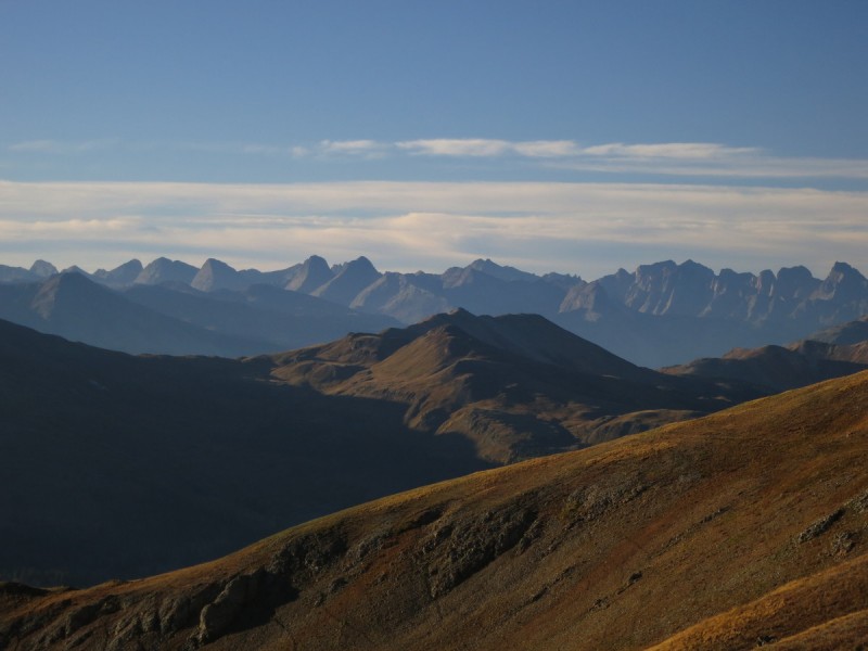
 Weminuche morning")
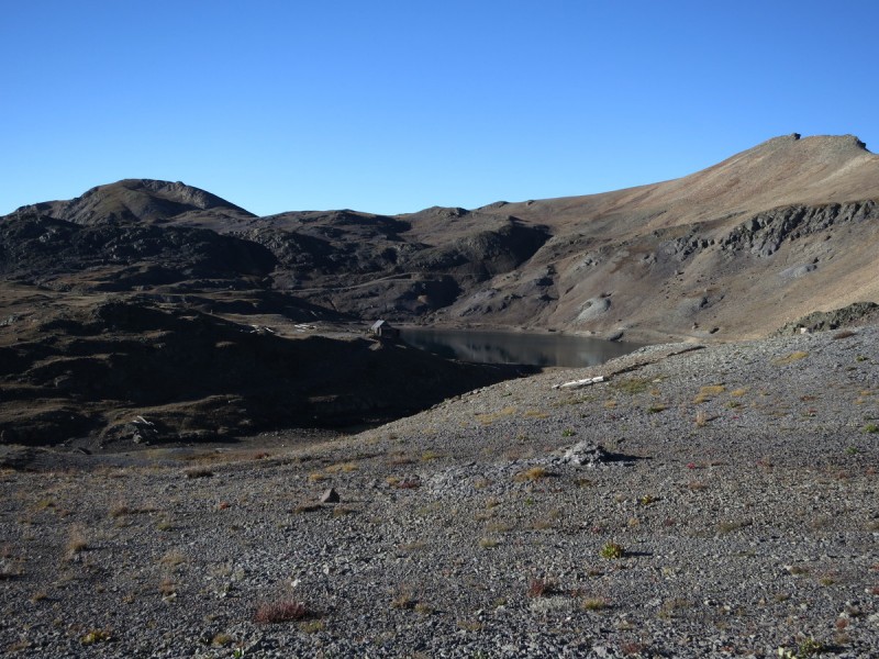
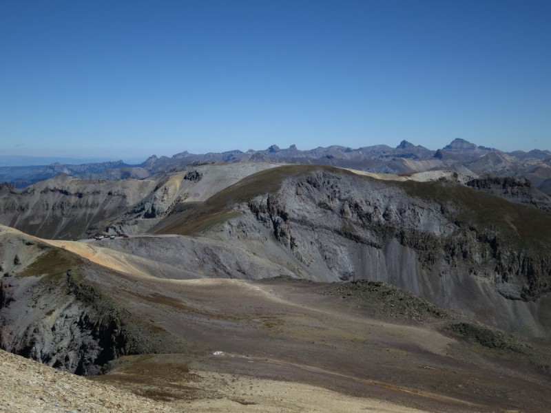
 Mine below pass below Telluride Peak")
 View from Imogene Pass of Chicago Peak")
 Pass down to Telluride, with Wilsons in background")
 Ridge to Chicago. Difficulties passed by to north of ridge")
 Wilsons and Lizzard Head")
 Looking north from Chicago, which ridge to")
 Oh, that's")
 Looking over to 13,510B from Telluride Peak")
 Looking at Imogene Pass and")
 Red Mountain and the mining area")
 Trico Peak from 13,501B")
 The north ridge of Trico. Gets stupid loose after the purple rocks")
 Loose, nasty north ridge of Trico")
 Making the north ridge, after the horrid loose rock. Summit is near!")
 Looking back at Pt 13,510B")
 Ridge to")
 Looking back on Trico's easier ridge")
 Sneffels Range and some color")
 Three Needles from")
")
")
 Connecting ridge to Three Needles from")
 Nifty evening shadows nearing Three Needles Summit")
 Solid climbing up to summit of Three Needles")
 The Three Needles ridge features over to")
")
 The drainage/cliffs I dropped to meet Darrin")


