| Report Type | Full |
| Peak(s) |
Pequeno Alpamayo - 17618 |
| Date Posted | 08/01/2012 |
| Modified | 09/19/2012 |
| Date Climbed | 07/03/2012 |
| Author | kushrocks |
| Additional Members | Perea |
| 17,618ft Pequeno Alpamayo - Bolivia Adventure Part 1 |
|---|
|
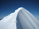
Part 1) Pequeno Alpamayo -June 29th to July 3rd Days 1 through 5. This trip report is mostly for my friends and family who are not 14er.com members. My climbing partner Paul has already written a great report found here. http://www.14ers.com/php14ers/tripreport.php?trip=12288 These two trip reports are simply a different point of view with a few different photos of the same great experience Paul (El Chupacabra) and I had down in Bolivia. This first part involves the days in Bold Below. Friday June 29th - Almost miss our flight leaving Denver at 7:30am. Saturday June 30th - Arrived in La Paz at 3:30 am. Rested and walked around town. Sunday July 1st - Car Ride to Chacaltaya ski area 17,185ft then hike up to 17,700 and other smaller summits above 17,200 then return to La Paz Monday July 2nd - Drive from La Paz to Condoriri Base Camp area. Hike in from road at 14,670 to base camp at15,350 Tuesday July 3rd - Summit Pequeno Alpamayo 17,617ft and return to base camp. Wednesday July 4th - Hike out from Condoriri base camp and return to La Paz and rest. Thursday July 5th - Drive toward Illimani. Hike into base camp from 12,300ft to 14,500 ft. Friday July 6th - Carry gear from 14,500 to just below Condors Nest High Camp 17,720ft Saturday July 7th - Summit Illimani 21,122ft - Return to base camp sleep like we were dead. Sunday July 8th - Return to La Paz - Tried to celebrate with lots of beer but just feel asleep early. Monday July 9th - Wake up at 2am to catch our 5am flight out of La Paz and marathon it home arriving in Denver at 11pm. Tuesday July 10th - Hate myself for not taking another day off before going back to work. Part 1) How it got started and Pequeno Alpamayo. This whole trip began to take shape after a trip report posted by jimmtman (Jim) on 10/22/11. http://www.14ers.com/php14ers/tripreport.php?trip=11185 I loved to travel and had been looking at what other peaks I would want to attempt outside of Colorado and after reading Jim's trip report on his climbs in Bolivia, specifically Illimani, had really sparked my interest. Still, Bolivia seemed far away and an impossible idea at the time. Sometime in January of this year I had been looking at buying warmer boots possibly the La Sportiva Spantiks for cold winter days in Colorado and possibly some bigger mountains elsewhere. I checked the 14er classifieds and someone named El Chupacabra was selling them. I shot him a PM asking him details about the Spantiks but it was the very last question I asked that started this whole trip. "Just out of curiosity why are you selling the Spantiks?" His reply was that he bought them to do Denali but wasn't sure if that trip interested him anymore and that he wanted to go to Bolivia where he took a shot in the dark and simple asked "Interested?" My response to this was something to the extent of "Hell Yea!!" It was at this point that we began talking about making this trip possibly happen. However, at the time he had been to 18,500ft on Orizaba and I had never been above 14,433. Luckily my girlfriend Annie (marie123) and I had a trip planned to climb Pico de Orizaba in Mexico in March of this year where we were fortunate enough to be successful on and get our first taste of higher altitude. After Orizaba Paul and I began to hash out details for the trip to Bolivia and bought our plane tickets about 2 weeks after I got back from Mexico. Lets just say the plane tickets were more than double the cost of any plane ticket I had ever bought before in my life. Holy crap this is actually happening!!! We had discussed the possibility of going unguided but after adding up all the logistical costs of trying to buy food, fuel, arranging reliable travel to and from the mountain, as well as carrying all our gear it was the same price to go guided. At this point the decision was easy to make. Plus I already spent a ton of money on the ticket so why not sink myself a little further into debt. Paul and I did a couple hikes together. We camped on top of Belford and also climbed Antero together but that was about all the hiking together we did before the trip. We both still got out to the mountains here in Colorado numerous times before the trip. Several random nights Paul and I had driven to the top of Mt. Evans to sleep in our cars and help us acclimate. Some nights we thought our cars were going to blow away. However, the weekend before we left I spent the entire weekend up there from after work Friday afternoon all the way until Monday morning when I had to go back to work to help acclimate. Paul came up and spent Saturday and Sunday night up there as well. We basically just hung out in the cars reading books, taking pictures of mountain goats, watching movies on our laptop and talking with the hundreds of tourist who drive to the top parking lot and then "climb their first 14er." Day 1) Friday June 29th. We made the mistake of not printing off our flight itinerary and barley made our first flight out of Denver to Ft. Lauderdale. After this it was just a matter of jumping on the next two flights to get us to La Paz. The airline we took from Ft. Lauderdale to Bogota and then Bogota to La Paz was called Avianca Airlines. I had never heard of them before but they had free tv, movies, video games, USB charger, cup holders, and seats that recline farther back than I had ever experienced before and I used to work for the airlines!! They outclassed American Airline companies in every way and made the last two flights of a long day much more enjoyable. Day 2) Saturday June 30th We arrived in La Paz at 3:30am and had to pay $135 right as we cleared customs for our tourist Visa which is good for 5 years. The airport according to my GPS was at 13,100 ft and we could definitely feel that dragging our luggage around which was thankfully all there. Our guide Edwardo we had not heard from for a week. He was supposed to pick us up at the airport in the morning last we heard. As we walk outside of the airport we are greeted by numerous taxi drivers trying to usher us into their cabs. Where is our guide who was supposed to pick us up? We just landed in Bolivia and no one is here to pick us up and we spent all this money? Before I start emitting expletive delete after expletive delete I turn to see a small Bolivian Man in a black Marmot jacket who seems to be looking at us. Edwardo from what we have read is one of the most accomplished mountaineers and guides in South America. This can't be our guide Edwardo; this man is 5'2 maybe a 130lbs. Well it turns out it is him and he introduces himself to us. His English is very limited but luckily for us (especially me) Paul speaks fluent Spanish. We drove to the hostel where Paul and Edwardo got to know each other better while I sat in the back of the car trying to pick up on the few Spanish words I know like "Si" and "Hola." It had been a really long day and we checked into our hostel where Edwardo would meet with us at 8:30am to discuss the details of our trip which was only about 3 hours away. 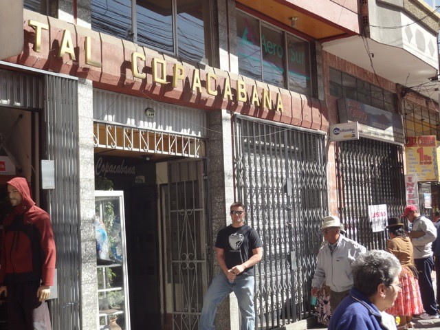 He arrived and again I sat there as Paul and Edwardo conversated and hashed out the details. We agreed to meet on Monday to drive toward Condoriri Base camp to attempt Pequeno Alpamayo. Paul and I spent part of the day walking around La Paz and trying to buy food we thought was safe to eat. We walked near an amazingly beautiful Catholic Church that was built sometime around 1700 that was still standing and in pristine condition. 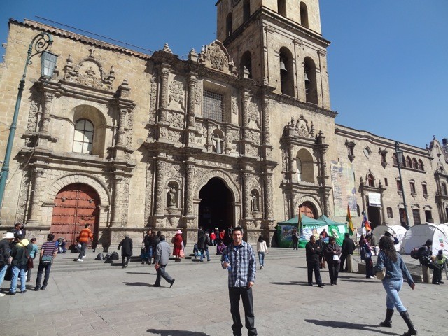 There were several very angry protestors standing outside protesting about something I couldn't understand. Police officers had to get involved so we quickly left the church. We had lunch at a building across the street on the 7th floor which gave us our first glimpse of Illimani. We could only see the top of it through the buildings but even this caused us to get really excited . . . like Tim Tebow in his Jets Press Conference excited. 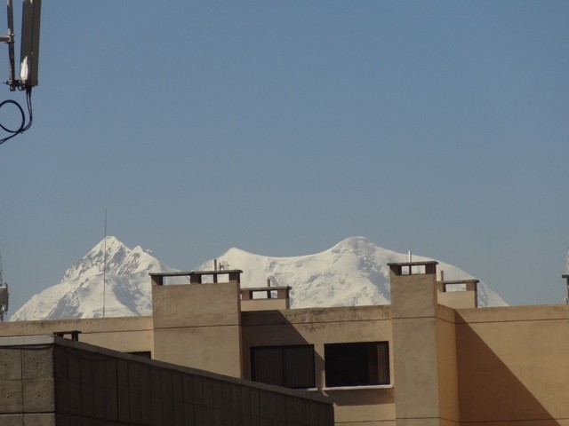 After lunch we went back to our hostel where we spent the rest of the day taking short naps and checking e-mail/facebook on the world's slowest computers at our hostel. We had scheduled a driver to pick us up the following morning to take us to the Chacaltaya ski resort to do some acclimation hikes. Day 3) Sunday July 1st Our driver picked us up the following morning as scheduled and we began the 2 hour drive to the Chacaltaya ski resort. The Chacaltaya ski resort was a ski resort that closed down about 5 years ago due to lack of snow. It had been opened for 45 years before this. When it was open it was the highest ski resort in the world. You can see how little snow there is behind us and this is their winter season down there. Global Warming anyone?!?! We drove up to 17,185 according to my GPS where the road ended. Getting out of the car at 17,185 was tough for us. We began our hike up to the short summit and were immediately sucking wind. We made slow progress up to the main summit where we topped out at 17,780 and were greeted with amazing views of Huayna Potosi and a big portion of the Cordillera Real mountain range. 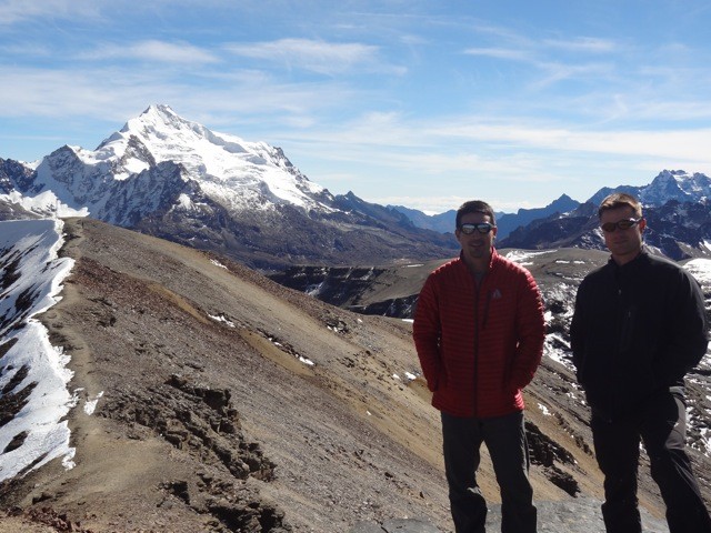 It was here that Paul and I had the great idea to "speed up our acclimation" by doing pushups at 17,780 that left us both gasping for air but also laughing at each other. Once we stopped acting like children we looked over to see that the ridge of the summit we were on connected us to several other smaller summits. We decided that we wanted to help our acclimation more so we continued on to these smaller sub summits snapping pictures as we went never dropping below 17,300ft. We returned to the car about 3 hours and 45 minutes later having only climbed something like 1,200 vertical feet. However, this was all above 17,185 so we were happy with our first day out of La Paz. We drove back to La Paz where we stopped on the way to get some pictures of some Bolivian 14ers for everyone back home. 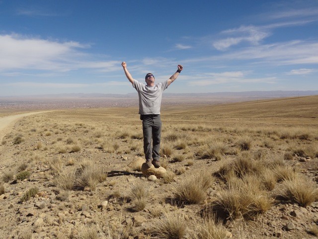 We got back to our hostel and we were excited for our first trip out into the bigger mountains the following day. Unfortunately we also checked the weather for Illimani on mountain-forecast.com and the winds that had been minimal for the last few weeks on Illimani decided to pick up the days we would be on the mountain. Winds had been only 15-20mph for a couple weeks but the exact days we were on the mountain the wind forecast changed to 40-50mph. This would weigh heavy on our minds the next several days. Day 4. Monday July 2nd. Our driver picked us up at 9:30am. We were excited to get out of La Paz which we had noticed was pretty polluted but still no where near as bad as Mexico City. La Paz itself is in a giant bowl where downtown and the most densely populated areas are in the lowest part of the city. We drove north towards Condorri and once out of La Paz drove through the town of El Alto which was on a high plane at about 13,000ft. 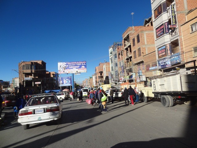 This town is actually growing faster than La Paz because there is actually room for the city to grow and expand. From here it was about a 2 hour drive. We got more and more excited as the Cordillera Real mountain range got closer and closer. The views on the drive at first were not that good because we were in high alpine flat land that reminded us of the Alamosa area. The closer we got the better the views became. 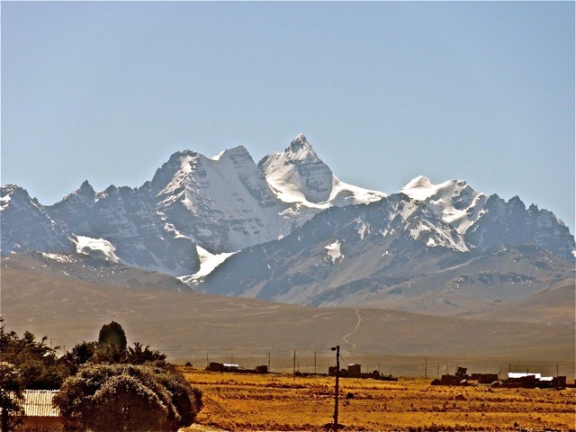 We got great views of the other side of Huayna Potosi on the way as well. 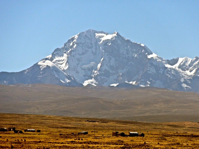 At the end of the road we arrived at a little farm made of rocks and a thatched roof where we had lunch with our driver, cook, and Edwardo. My GPS showed we were at 14,670ft. 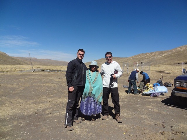 After lunch all the heavy gear was loaded onto the mules and we hiked in toward base camp at 15,350 where the views got even better the further we walked. 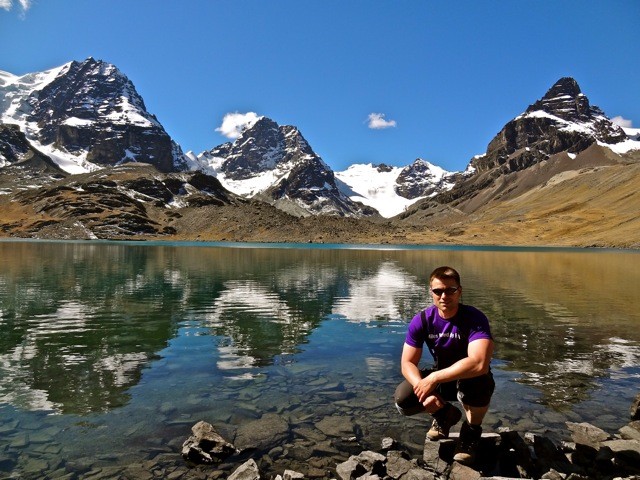 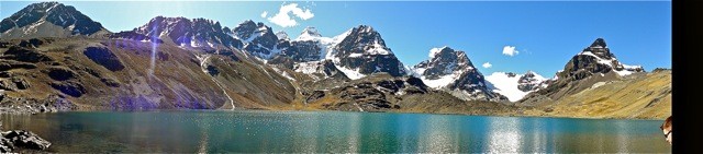 I had never been in a place like this before. The peaks were absolutely stunning as we walked around to the other side of the lake in awe to our base camp. 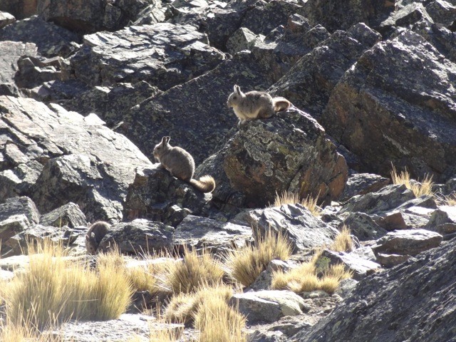 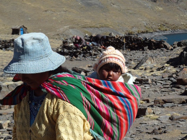 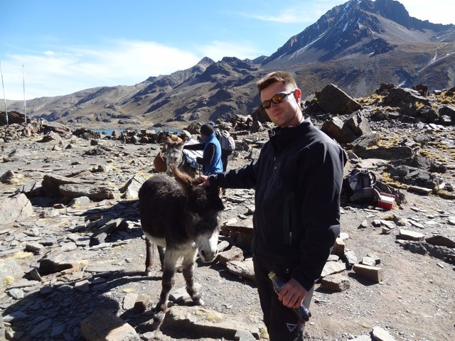 After setting up our tents Paul and I decided to climb a nearby hill to try and break the 16,000ft mark and follow the "Climb High, Sleep Low" principle. We were hoping to catch a nice sunset over the mountains but the photos didn't come out as good as we hoped. 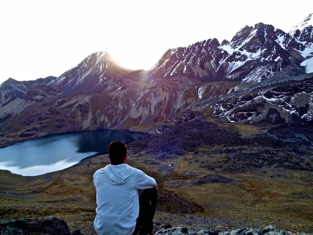 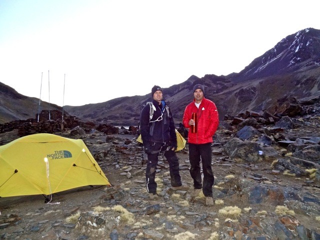 As soon as the sun dropped behind the mountains it got cold fast. We went back down to base camp, had dinner crawled into our tent and tried to arrange last minute gear. This was our first time ever trying to sleep above 15,000 so neither of us slept very well. Day 5 Tuesday July 3rd. Our guide came to wake us up at 2 but we were well awake before that. We had a quick little breakfast and hit the trail by 3:15am. The beginning of the trail was dry with very minimal elevation gain. Temperatures had not dropped much since we went to bed so we quickly warmed up and started shedding layers. The moon was amazing. It was so bright that we ended up turning our headlamps off until the base of the glacier around 15,800ft. Here we threw on our crampons and things began to get steep. The snow conditions were great and our crampons gave us great purchase the whole way up. Our guide Edwardo played music for us to listen to from his phone. It was entertaining because he would have several Spanish songs in a row then out of nowhere Evanescence and the Rolling Stones would come on. 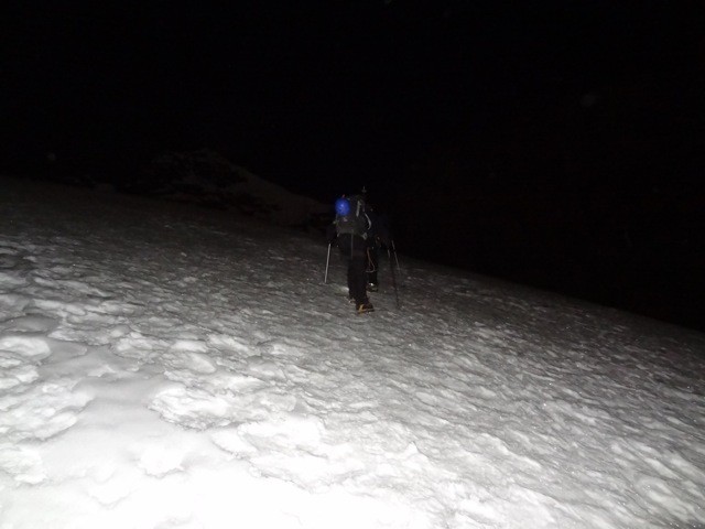 We zig zagged back and forth up the glacier until we reached the top of a ridge around 17,100ft. From here we traversed sideways towards a higher point where we reached 17,520ft and were greeted with the start of an amazing sunrise with Pequeno Alpamayo in the background. 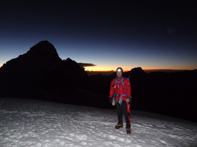 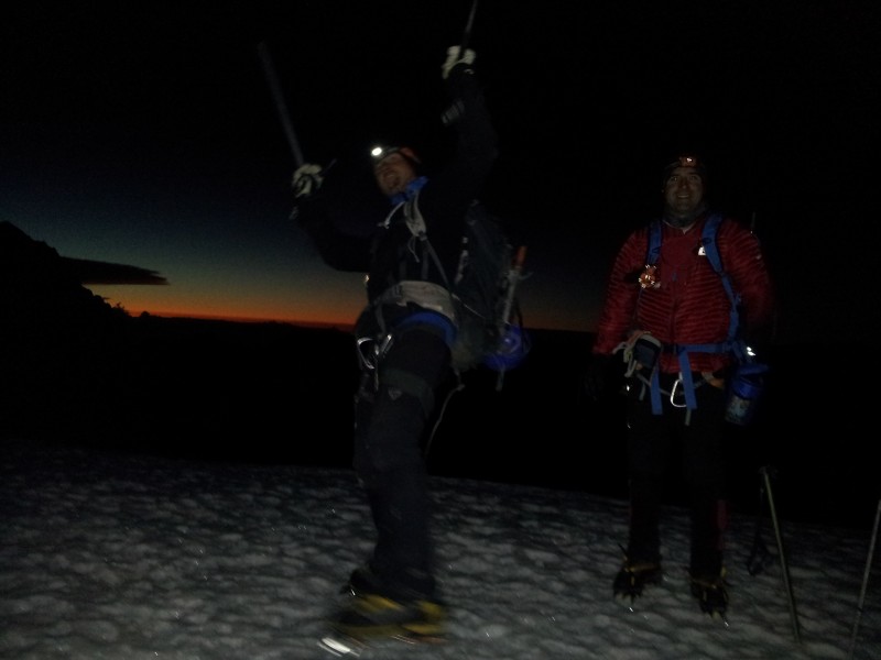 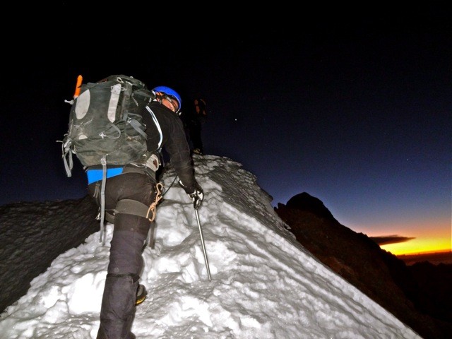 Here was where things began to get technical and it was time to rope up together. After a very exposed snow ridge about a foot wide that rose about 30ft we had to down climb about 200 ft of class four exposed rock. 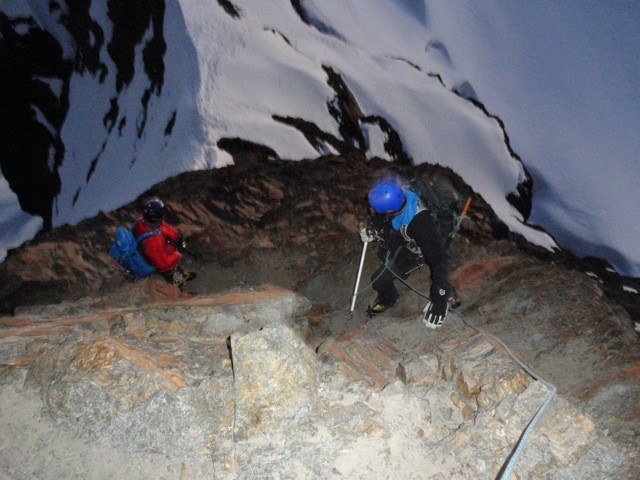 Here we reached relatively flat snow slop for about 100 yards and then the real climbing began. We all had two ice axes one technical and one non technical. We began climbing several pitches which were about 45 to 50 degrees until the final pitch. Looking at it was intimidating. It was incredibly steep and exposed. The final pitch before the summit was about 60 or 65 degrees according to our guide and at about 17,600ft that didn't make it easy. 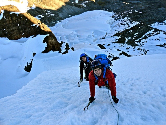 Our guide did a great job making sure that we were protected the whole time. We reached the summit about 7:30am so about 4 hours and 15 minutes up. IT WAS AMAZING!!! 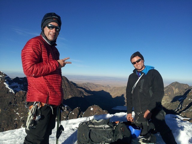 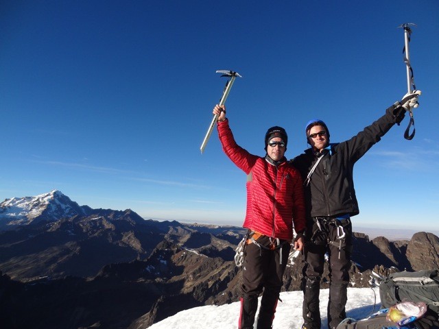 The views were unlike anything I have ever seen. Beautiful mountains everywhere dominated the sky with great views of Huayna Potosi with Illimani in the distance. We took some great photos. Paul whipped out cards that his daughters wrote him for Father's Day on the summit which was really cool. 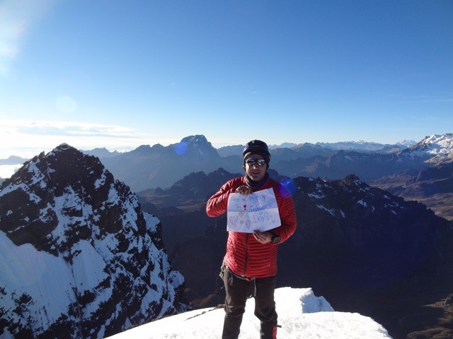 After about 20 minutes on the summit it was time to head down. We were very careful down climbing the exposed slopes taking our time to make sure we always had three points of contact. On our way back up the rocky class 3/4 rocky section we passed another group coming up of 13 people. It turns out that they had no licensed guides and one of the so called guides had one of his clients die recently on a nearby peak because he was unable to protect him when they slipped and fell on an easier mountain. We were very glad to have Edwardo as our guide. 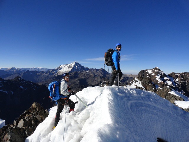 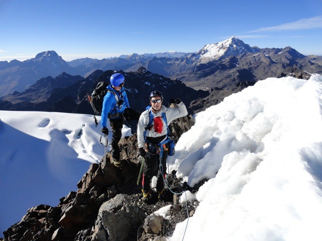 The climb down was uneventful we took our time and enjoyed the views while resting when necessary. I got a little bit of a cough near the bottom of the glacier. I had been fighting a head cold since before I got here so I guess it finally arrived. 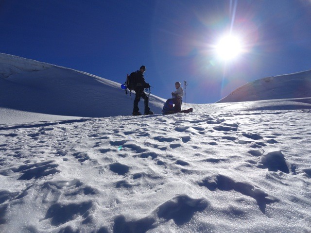 We got back down to base camp 8 hours after leaving. We crawled into our tents and awoke an hour later to the guides serving us lunch. We had the option to come back to La Paz that night but I mentioned I would rather stay at base camp another night to help acclimate at 15,350 than head back to La Paz at 12,100ft and inhale smog for another day. We both agreed this was a good idea. This time we slept great getting between 8 to 10 hours of sleep. It was on the way down Pequeno Alpamayo that evening that we got to know our guide Edwardo who we would later call "Superman" a little better. He was born at the base of Huayna Potosi somewhere around 15,000ft and has lived his whole life in and around the mountains in Bolivia. At 50 years old and only about 130lbs and 5'2ish Edwardo is an absolute monster in the mountains. His knowledge of the area is so extensive that he was hired by the Military Geographical Institute in Bolivia to help produce a map of the Cordillera Real which is the only official map of the area. The former president of Bolivia even personally hired him to help climb Huayna Potosi. 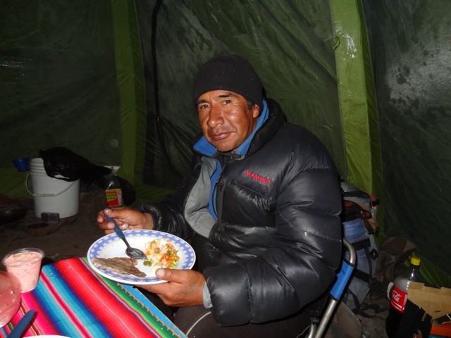 He is skilled in technique, strength, speed, and most importantly leadership to an extent that I have never seen or even heard of before. A couple years ago he summited Aconcagua from base camp to the summit in one day . . . . . . twice . . . . . .with no support . . . . . . in only 13 hours. Day 6. Wednesday July 4th. After packing up our tent and gear we began the hike out of the Condoriri base camp. It was really disappointing leaving such a beautiful area knowing we might never be back. 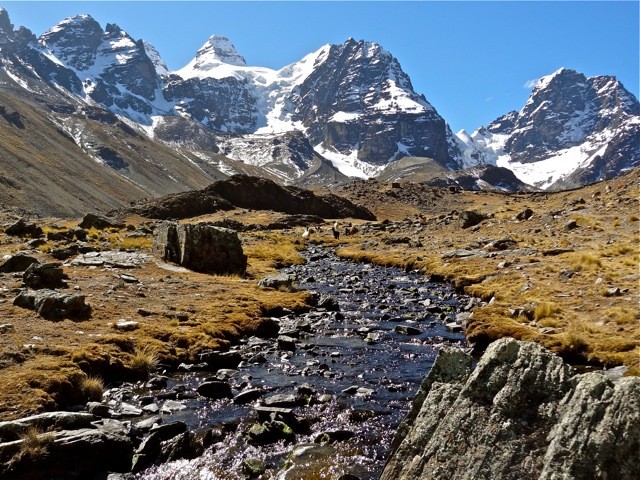 We drove the two hours back to La Paz where we showered up and arranged last minute gear to be picked up for Illimani the following day. Once again we jumped on the world's slowest computers back at our hostel to tell our family and friends back home about our first climbing experience and how amazing it was. We decided we needed some big time calories so we both went to buy a family sized pizza. I ate the whole thing . . . . big mistake. I had developed ....uh...um.... stomach issues. The second half of the trip report for Illimani can be seen here: http://www.14ers.com/php14ers/tripreport.php?trip=12286&parmuser=kushrocks&cpgm=tripuser Thumbnails for uploaded photos (click to open slideshow):
|
| Comments or Questions | |||||||||||||||
|---|---|---|---|---|---|---|---|---|---|---|---|---|---|---|---|
|
Caution: The information contained in this report may not be accurate and should not be the only resource used in preparation for your climb. Failure to have the necessary experience, physical conditioning, supplies or equipment can result in injury or death. 14ers.com and the author(s) of this report provide no warranties, either express or implied, that the information provided is accurate or reliable. By using the information provided, you agree to indemnify and hold harmless 14ers.com and the report author(s) with respect to any claims and demands against them, including any attorney fees and expenses. Please read the 14ers.com Safety and Disclaimer pages for more information.
Please respect private property: 14ers.com supports the rights of private landowners to determine how and by whom their land will be used. In Colorado, it is your responsibility to determine if land is private and to obtain the appropriate permission before entering the property.