Part II - Days 5-9 of the 9 day trip.
First part is here.
Peaks climbed
Jupiter (SW ridge)
Sunlight
Glacier Point
Pigeon
Turret
Stats:
5 days (July 3-7, 2013)
~15,800 ft vertical gain
~34 miles
Party: solo
~8 miles, ~2,900 ft vertical, 6.5 hours
First order of the day was to finish a 2 mile trek down to Needleton. I was anxious to get off the tracks before the trains start running again.

I crossed the bridge in Needleton shortly after 9 am and started looking for a Ruby basin trail. Now I know that it is the first turn-off as soon as you get off the bridge, but that morning the signs "keep off the private property" and "stay on trail" confused me so I took the Needleton creek trail. After about a mile I found a nice spot for a break and breakfast and re-evaluated the plan. After a long day of backpacking with a heavy pack the day before I was not very keen on going to look for a steep trail that required some bushwacking. I "needed" Jupiter in Chicago basin and I knew the approach. I studied the map and decided that I could get into the Ruby basin from Chicago basin via Twin Thumbs pass. Besides, I knew some people who should be in Chicago basin at the time, so I could pass a message and maybe even arrange a car ride for Sunday. So around 11 am I set out on already familiar Needleton Creek trail.

By 3.30pm I exited into the Columbine pass trail and was looking for a camp site. It was quite fortunate that right at the creek crossing I ran into some friends. They had already finished hiking the Chicago basin 14ers and were hiking out the next morning. I was able to pass along my updated itinerary with them.
~7 miles, ~4,400 ft vertical, 8.5 hours
Given the busy July 4th weekend, I was expecting to see some people in the basin, but maybe not on Jupiter. However, just as I was ready to leave my camp sometime after 6am, I saw a couple of folks heading in the direction of Columbine pass. It turned out their goal was Jupiter, so I trailed them for the duration of a pleasant hike up SW ridge.

Mining ruins ~11.7k
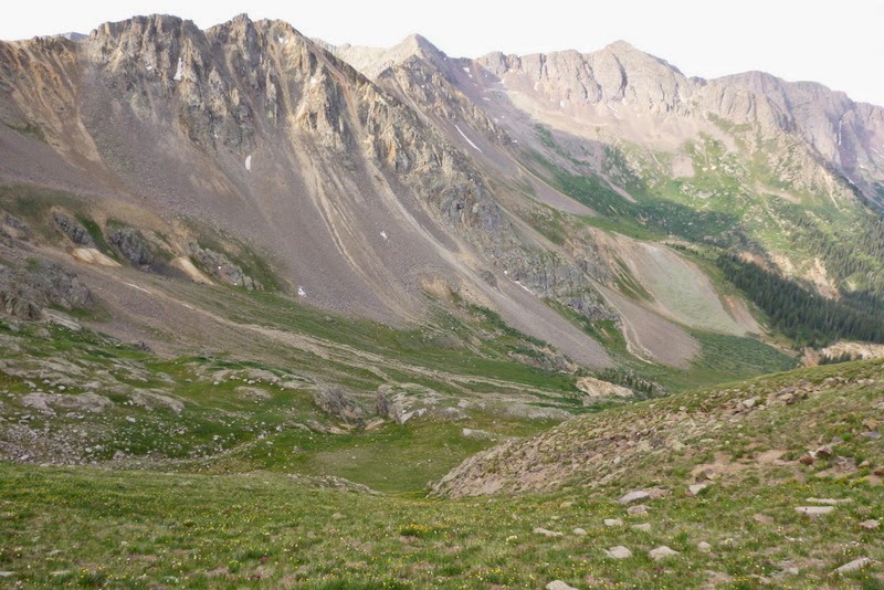
SW slopes of Jupiter - a pleasant hike

This is what couloirs look like when they melt out...
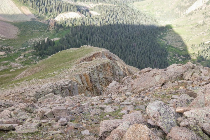
Looking back at the SW ridge route
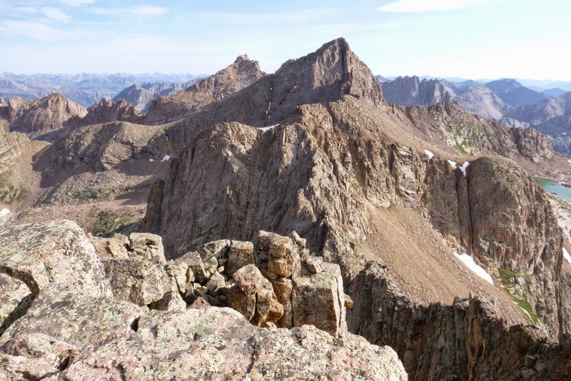
Windom and Sunlight from Jupiter

Some familiar names on the register
I reached the summit around 8am. My companions were heading back down the same route we came, but I wanted to re-visit Sunlight, so our paths split. On the way up I was checking the melted out couloirs for possible descent options and determined that "Europa" should work - although loose, and quite possibly unpleasant, it didn't look too steep.

Europa looks like a great ski descent
"Europa" indeed turned out to be an acceptable choice. Although it was loose, it was possible to find some stable rocks and dirt for the descent, and I was glad not to have anybody above or below me. Near the bottom, I took the hiker's left and was able to bypass the rock band that can potentially block the passage on the right side of the couloir.

My descent line off Jupiter - I was able to use grass ledges near the bottom

Another look at Jupiter
The descent into the valley floor took about 40 minutes and my next goal was a traverse over to the Sunlight basin. Around this time my body decided to shut down, as apparently ~20 miles of backpacking over prior 2 days, as well as poor sleep the night before have finally caught up to me. My pace came almost to a halt and it took a lot of effort to get up first to the 13.2k saddle and then to the top of the Sunlight gully near 13.7k.

Heading over the saddle to traverse into the Sunlight basin

Descending into the Sunlight basin

Top of the Sunlight gully
I was really questioning my ability to do "the hardest move on 14ers" according to Roach in such tired state. I knew though that once the hiking part ends at the top of the gully and the climbing begins, I would feel stronger, so I pushed through.
The reason for me being there: two years ago when I climbed Sunlight for the first time, it was with a large group and most of us didn't have much experience on Class 4. The leader summited the peak first, then came down to the saddle and practically walked us through the trickiest parts of the ridge climb, making sure we didn't encounter anything harder than Class 3. I think we still looked pretty pale, so when we got to the base of the summit block, we were strongly discouraged from continuing. Although I was very disappointed with that turn of events at that time, in reality, I had no idea how to climb something like that. The exposure seemed daunting and I couldn't see any holds! Fast forward 2 years. This time I wanted to see if the things have changed. For starters, I didn't have a route description with me, so I just took the ridge route that looked good to me. At some point I ended up on the other side of the ridge, facing Jagged and had to pull off a couple of harder moves to get back on track. It was a good warm up before the summit block.


Sunlight summit block
This time I noticed a beautiful crack that ran across the face of the slab. I put on the rock climbing shoes for added confidence and was on the summit in no time. On the way back, I made the downclimb to avoid the jumping, but I knew I wouldn't be able to pull it off in hiking shoes. Still, the curiosity was too strong, and after putting hiking shoes on, I climbed the summit block for the second time. Now what?? After examining multiple exit options, I reluctantly determined that the most expedient option was to jump. I was very relieved when I made a safe landing on the other side of the slab. It was a straightforward downclimb from there.

The view of Euloses from the summit

Summit block

Grenadiers, Jagged from Sunlight
Despite the 4th of July weekend, there was nobody around! In fact, I haven't seen anybody since departing Jupiter at 8am and won't see anybody until the Twin Lakes later in the afternoon. Who knew that 4th of July provided a solitude on a 14er? I was back at the camp safely by 3pm and thankfully, had time to rest before another big backpack the following day.
~6 miles, ~3,700 ft vertical, ~8 hours
After getting nearly 19 hours of rest, I was feeling much better the next day. I packed the camp and started on the trail leading to Twin Lakes just before 10am.
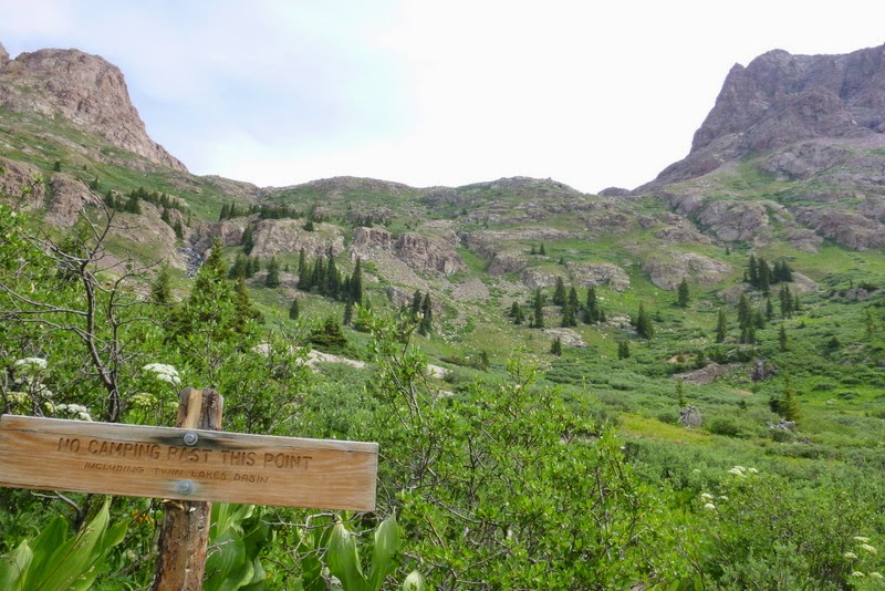
Starting out

Approaching the Twin Thumbs pass
I was averaging almost 1k/hour even with the heavy pack and made it to the top of Twin Thumbs pass shortly after 12pm. Since I was still feeling ok, I decided to tag a nearby 13er, Glacier Point. The weather was starting to look iffy, so I I put the rain cover on the big pack, took a rain jacket, poles, helmet, climbing shoes (just in case) and departed, hoping for the fastest turnaround possible.

Glacier Pt ahead
The easiest route was easily identifiable from my approach, but for whatever reason, one of "the direct finish" lines looked more attractive to me. I took this approach and enjoyed some short, but very fun climbing.

"Direct finish" lines

Scrambling up the route
About 50 feet from the summit, my steady progress was *rudely* interrupted initially by graupel and rain, and then almost immediately by thunder and lightning. I slowly and calmly  disengaged myself from any metal objects I had on me - poles, GPS and camera - and found a nice shelter in the chimney I was climbing. I had to wait out the storm for about 30 minutes, but finally, it looked like it was passing. I climbed the remaining moves to the summit as expediently as I could, found the register with some familiar names again and quickly descended the "standard" Class 2+ gully. disengaged myself from any metal objects I had on me - poles, GPS and camera - and found a nice shelter in the chimney I was climbing. I had to wait out the storm for about 30 minutes, but finally, it looked like it was passing. I climbed the remaining moves to the summit as expediently as I could, found the register with some familiar names again and quickly descended the "standard" Class 2+ gully.

Jagged and Sunlight from GP

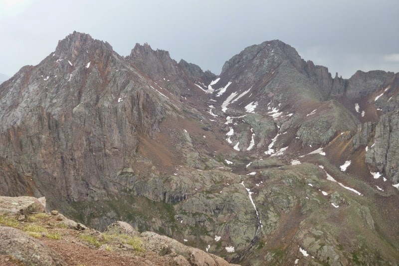
Ominous looking Chicago basin
The weather cleared. I was back at Twin Thumbs pass before 2pm to find my pack untouched. Just as I was preparing to descent into the No-Name basin, it started raining again (it would rain on me 4 times total that day). The descent was very doable, even with a heavy pack.

Descent into NoName basin
I was also happy not to lose a lot of elevation, as I was able to traverse on the side of the basin without dropping too far down into the valley. I even found some snow! Whoever wants to ski 600 feet of July snow with 8+ mile approach - here is your chance.

Couloir on the North side of Glacier Point

Looking back at Twin Thumbs pass

NoName basin
The rain stopped and around 3pm, I took a nice break and cooked a "pick me up" lunch in one of the most spectacular settings possible. I then continued and around 4pm finally crossed into the elusive Ruby basin.
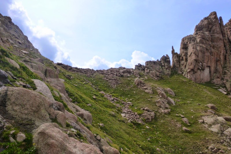
Approaching NoName-Ruby Basin pass
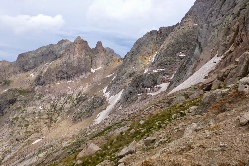
Looking back at Twin Thumbs pass from Ruby Basin pass

Hello, the Ruby Basin

Initial descent into Ruby basin
The descent into the basin started as surprisingly easy, which for some reason immediately put me on guard. Soon thereafter I started walking down some slabs and could not see if they "went".

Stage 2 descent into the Ruby basin - it didn't look like the left side would "go"
What a great opportunity to "roam" without the heavy pack! The "roaming" was cut short by another bout of rain, but I managed to determine that the right side of the basin should "go". In fact, as soon as I traversed closer to the right side, I picked up a faint trail, which bypassed the steep cliffs in the center of the basin.

A faint trail on lookers left (far left) bypasses formiddable cliffs (and yes, it was raining)
My next goal was not to lose the trail, but lower in the basin it goes through the willows which were wet from the rain, so I tried to avoid them (with some success). Sometime later I was hiking through a rather large meadow, thinking that it would make for a great camp site, and even noticing a faint trail zigzagging up the slope. I checked my GPS which showed that I was passing below the saddle between Turret and Pigeon, but the appearance of the peaks was putting into question my nascent navigation skills. I've seen many Class 2 peaks (as Turret was supposed to be), but none of them looked like what was in front of me. Still, I decided to trust my GPS and set the camp at the edge of the meadow - just in time, as the final, 4th bout of rain was about to commence. Thankfully, it only lasted for about 10-15 minutes and then the sun came out. I set the camp and got some rest in anticipation of the next day.

Overview of the basin from campsite at 11,600 ft
~10 miles, ~4,800 ft vertical, ~8.5 hours
I woke up around 5 and got ready for the last big day of hiking. First, I secured all the food and trash in a bear bag, as my camp was circled by rather aggressive goats and marmots immediately upon my arrival in the valley the evening before. I set on the trail around 6.30am. The trail was relatively easy to follow and the route is pretty straightforward all the way to the saddle. I was able to follow cairns most of the way.

Ascending the grassy slope in the morning
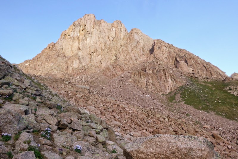
Pigeon appears

Traversing the rock glacier en route to the saddle
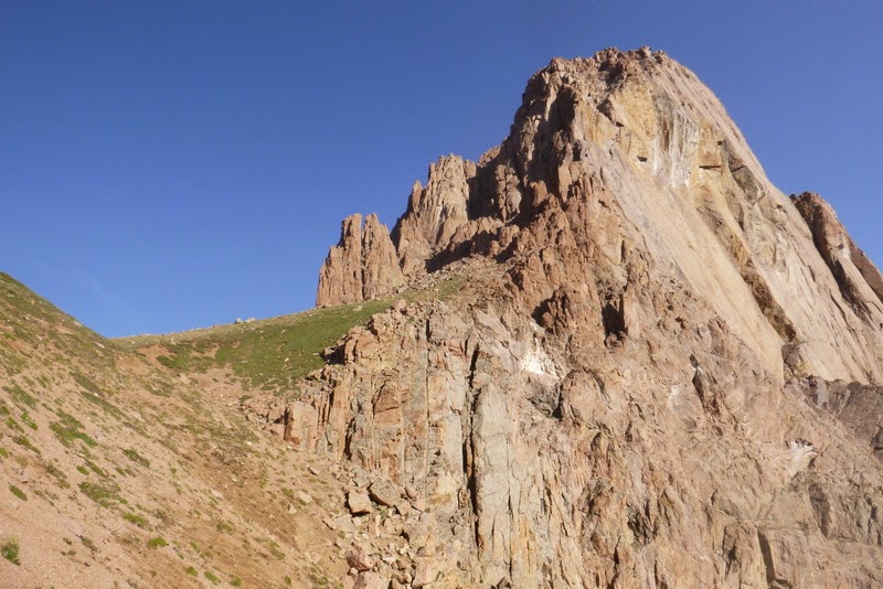
Saddle with Turret comes into view ~13,100 ft

Looking down from the saddle
I decided to climb Pigeon first, as it was supposed to be the harder of the two peaks. Thanks to Dave (CarpeDM), I had the Roach route description for the peak, but I completely underestimated how much elevation needed to be lost on the standard route. I was eyeing the cliffs as apparently, some good rock climbing to be had there, but since I was solo, I decided not to do anything stupid.
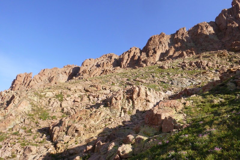
Eyeing the cliffs as a potential shortcut...

but heeding the voice of reason and descending to the bottom of the ridge at 12,300k
The descent all the way down to 12.3k from the saddle at 13.1k was highly demoralizing, especially since I had to climb back to almost 14k and then do the route in reverse.
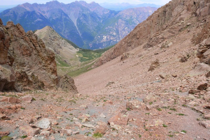
Wait, am I descending all the way to North Pigeon Creek?

Class 2 ascent route

Flowers

Another look at the ascent route from the start of the steeper section
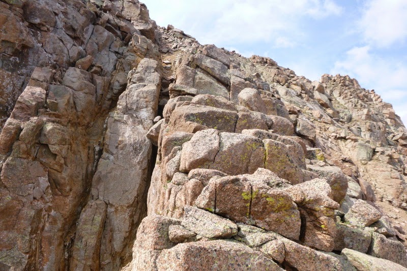
Short scrambling section near the summit
I took the slightly harder route closer to the ridge so I could enjoy the ridge views. I was on the summit around 10.30am. I could even hear and see the train from the summit - it was about 3 miles away as the crow flies. I didn't linger long I was getting nervous about the weather and was wondering if it was going to hold long enough for me to summit Turret.
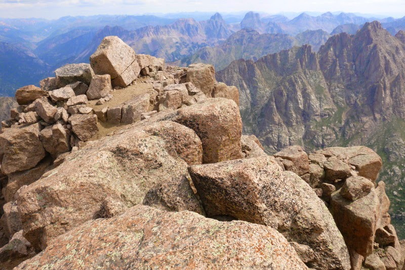
Pigeon summit

Turret as seen from the summit of Pigeon
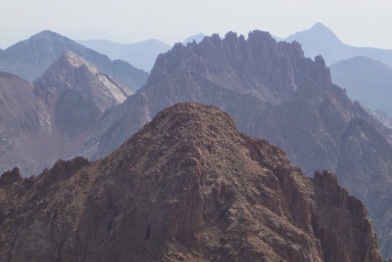
The crown of Jagged with Rio Grande Pyramid behind it
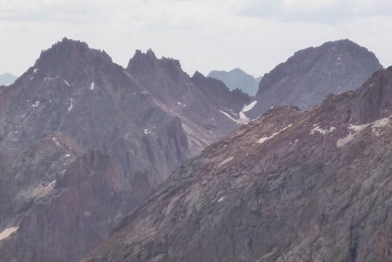
Chicago basin peaks
On the way down, I took a short detour to the notch near 13,500k, as I was hoping to get a glimpse of the Ruby lake. Instead, I got a tremendous view of a sheer dropoff - quite exciting!

2,000 feet of air below - steep cliffs on the north side of Pigeon

Heading back up to 12.8k saddle - the loose scree made for an unpleasant hike up
I wearily made it down to 12.3k, then up to 12.8k saddle and finally back up to 13k saddle. The clouds were definitely starting to build, but it looked like the weather should hold to allow me the final summit of the trip. The hike up Turret was rather pleasant.
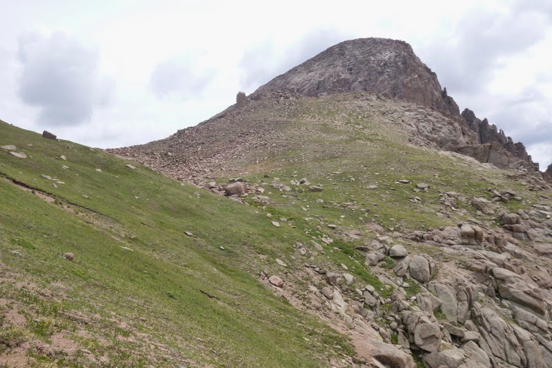
Turret ahead
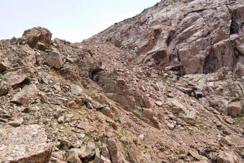
There are great views of the cliffs on both sides, but as advertised, the route itself is only Class 2

Approaching the summit
I arrived on the summit at 1.15 pm and decided to linger as long as the weather would allow, which turned out to be 45 minutes! Turret summit had great views of the Chicago basin - I could even hear the happy shrieks of 14er summiteers from Eoluses - as well as Jagged and Grenadiers. It was a perfect place to linger after a long trip.
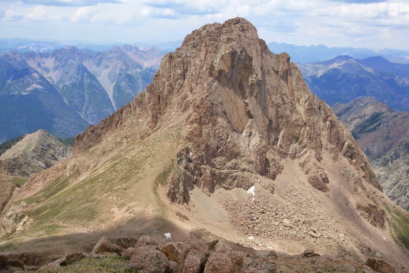
Pigeon as seen from Turret

The Grenadiers
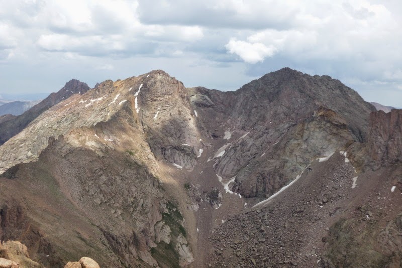
The Euloses

Tired, but happy - no more vertical!
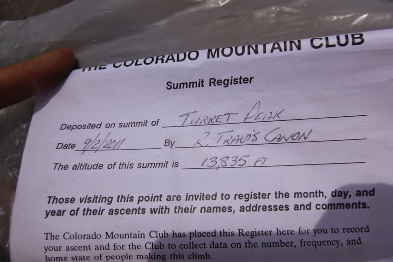
The summit had a register. One entry in particular jumped at me - it was signed by Steve Gladbach and Darin Baker on December 28, 2011. My first reaction was - wait, how did they get up here in winter? These peaks look like a fortress even to a summer hiker. Obviously, this was the first trip report I read once getting back online.
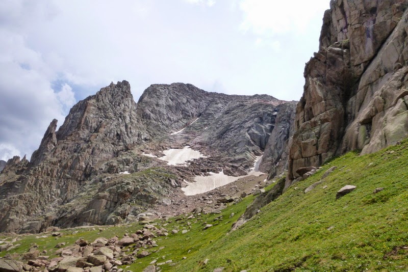
Parting shot of Turret and Peak 15
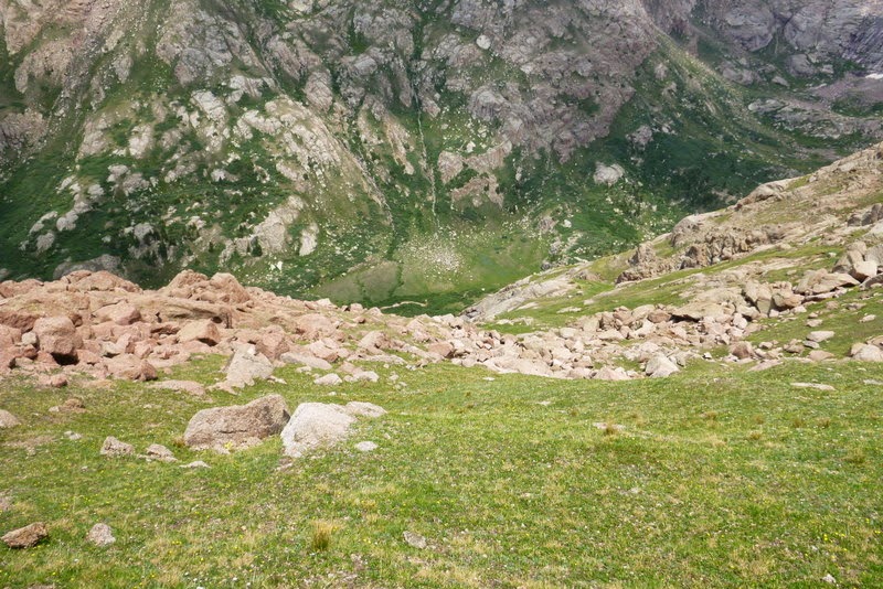
Descending back to the camp
But as usual, all good things come to an end, and it was time to head down. The descent was rather uneventful and I reached the camp shortly after 3pm. The tent was still there, but I soon noticed a few holes that marmots made in the front and the back of the tent. The Jetboil stove was dragged halfway through the tent, and the Steripen was just outside the tent. I had a plan to move the camp down to the Ruby lake anyway, and this invasion only sped up my departure. After a quick late lunch, I packed the camp and started the hike out at 4pm.

Ruby lake - photo courtesy of Terri Horvath and Darin Baker
I was hoping to see the trail better on the way down. I believe this was the case. Still, it was a slow going - first through the willows, and then through some thick forest - especially after it started raining again. I found a nice camp site on the farther side of the lake - just in time as the strong bout of rain came and shut me down in the tent for about 2 hours. I was only able to get out for 15 minutes, quickly ran over to the nearby creek to fetch some water for dinner and hid in the tent as it started raining again. Thankfully, I was able to temporarily waterproof the tent with the pack raincover (and later stitched it up at home). Although it meant extra weight, it was nice to have dry clothing and another pair of hiking shoes for the next day.

Marmot damage
~3 miles, ~2,700 ft elevation loss, ~3 hours
I made a good head start the day before by descending to the Ruby lake, but I knew that deproach was far from over. My goal was to leave between 7am and 7.30am in order to catch the 11.15am train, but I was slow in getting ready and didn't leave the camp before 7.50am. It didn't help that I promptly lost the trail for about 0.4 miles below the Ruby lake - the bushwack was not too bad, but the going was slow. After not seeing a good trail next to or above the creek for some time, I had an idea to cross the creek - and voilà - the trail was on the other (hiker's left) side of the creek. From that point, the route finding was rather simple - just stay on trail. Still, the trail traversed the steep side of the hill in order to get over to the next basin, and instead of going down, I had to hike up - that part was rather unpleasant, and I was completely out of food by then. I got to the Needleton train station at 10.45am. It was sad to see the adventure end, but I was excited about eating some real food! The ride back to Silverton was quite enjoyable - it was nice not to hike the train tracks this time. This was a great trip, and it tested a lot of "firsts" for me. Most importantly, I didn't get lost and was able to make it back safely. Let me know if you have any questions about the loop, approaches, or any of the peaks I hiked. Thank you for reading.
My GPS Tracks on Google Maps (made from a .GPX file upload):
View on the Map
|




 Download GPX file used in this map