Download Agreement, Release, and Acknowledgement of Risk:
You (the person requesting this file download) fully understand mountain climbing ("Activity") involves risks and dangers of serious bodily injury, including permanent disability, paralysis, and death ("Risks") and you fully accept and assume all such risks and all responsibility for losses, costs, and damages you incur as a result of your participation in this Activity.
You acknowledge that information in the file you have chosen to download may not be accurate and may contain errors. You agree to assume all risks when using this information and agree to release and discharge 14ers.com, 14ers Inc. and the author(s) of such information (collectively, the "Released Parties").
You hereby discharge the Released Parties from all damages, actions, claims and liabilities of any nature, specifically including, but not limited to, damages, actions, claims and liabilities arising from or related to the negligence of the Released Parties. You further agree to indemnify, hold harmless and defend 14ers.com, 14ers Inc. and each of the other Released Parties from and against any loss, damage, liability and expense, including costs and attorney fees, incurred by 14ers.com, 14ers Inc. or any of the other Released Parties as a result of you using information provided on the 14ers.com or 14ers Inc. websites.
You have read this agreement, fully understand its terms and intend it to be a complete and unconditional release of all liability to the greatest extent allowed by law and agree that if any portion of this agreement is held to be invalid the balance, notwithstanding, shall continue in full force and effect.
By clicking "OK" you agree to these terms. If you DO NOT agree, click "Cancel"...
A fun little hike if you leave at the crack of noon...
Approach: Cameron Pass
Length: Just under 3 miles RT
Vertical: About 1700 feet
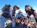
Ascent Party: Solo
GreenhouseGuy and I had talked about doing North Diamond Peak but life got in the way and it got cancelled at the last minute. Literally. At 3AM I learned the trip was off so I went back to bed for a 5 minute rest. Three and a half hours later, I woke up. Not exactly an alpine start but boy, was I rested!
I decided to at least do a little reconnoitering and check out the area as I think I had only been over Cameron Pass once prior and that was years and years ago. Turned out this was a good choice as the drive up the Poudre Canyon is fantastic.
At the top of the pass is a picnic area on the west side of the road and that's where the trail starts. Naturally, I neglected to take a picture of the pullout, but it is pretty hard to miss. There is a pit toilet and space for several vehicles.
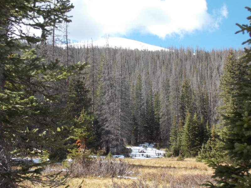
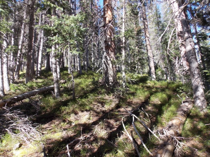
The trail starts out heading straight west from the parking area and is pretty easy to follow. (captions above the photos)
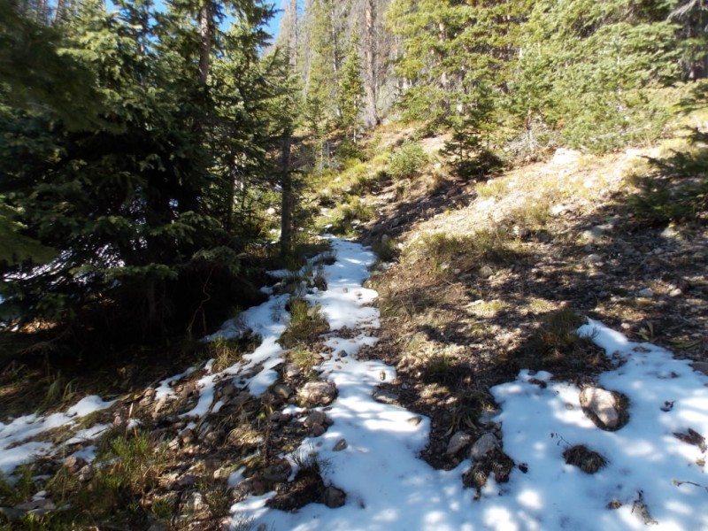
But, the trail stayed low next to the little stream (I think) and was covered in snow.
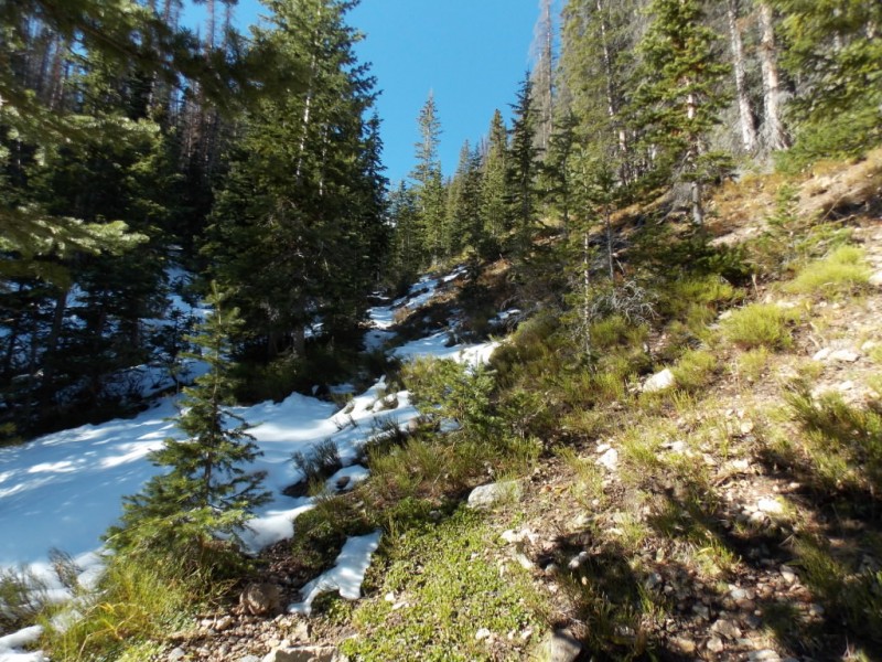
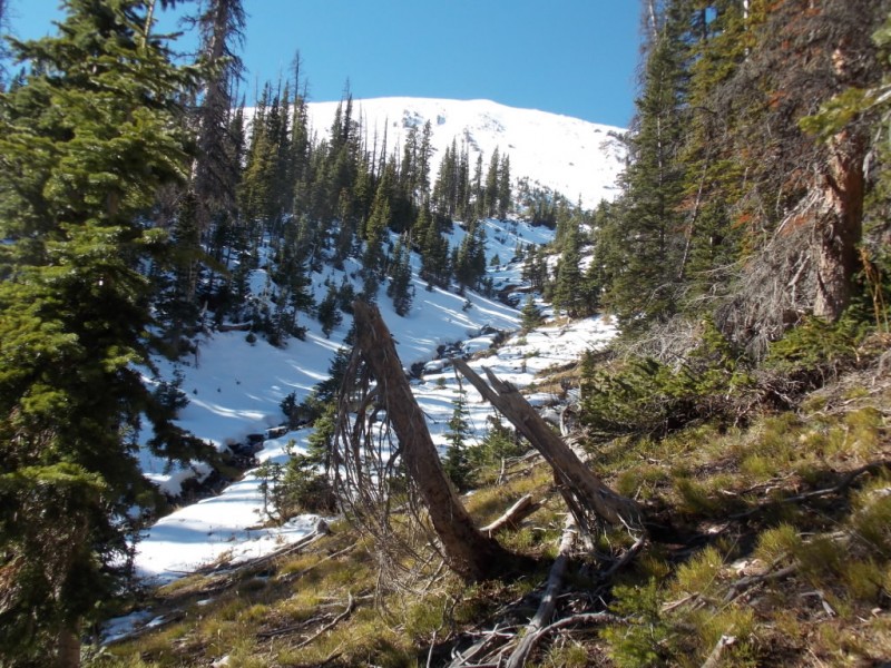
So I opted for an easy bushwhack on the south facing ridge line.
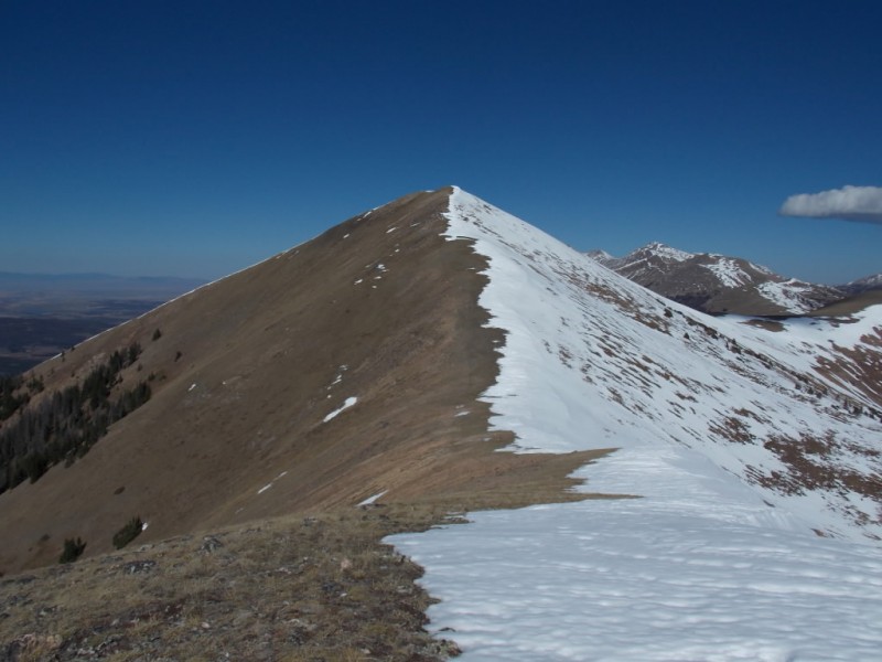
The route runs relatively steep (maybe 25-30 degrees?) for a little over a mile and then you get your first view of South Diamond since leaving the parking area.
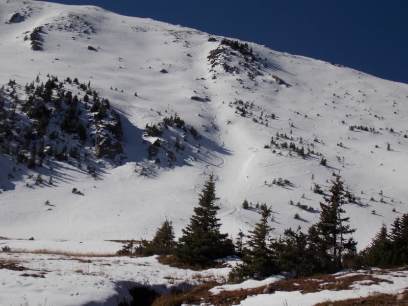
The terrain levels out some and it looks like someone carved a few turns on the east face of South Diamond. This looks like it would have made for a nice glissade down if I had remembered to bring along my ice axe..
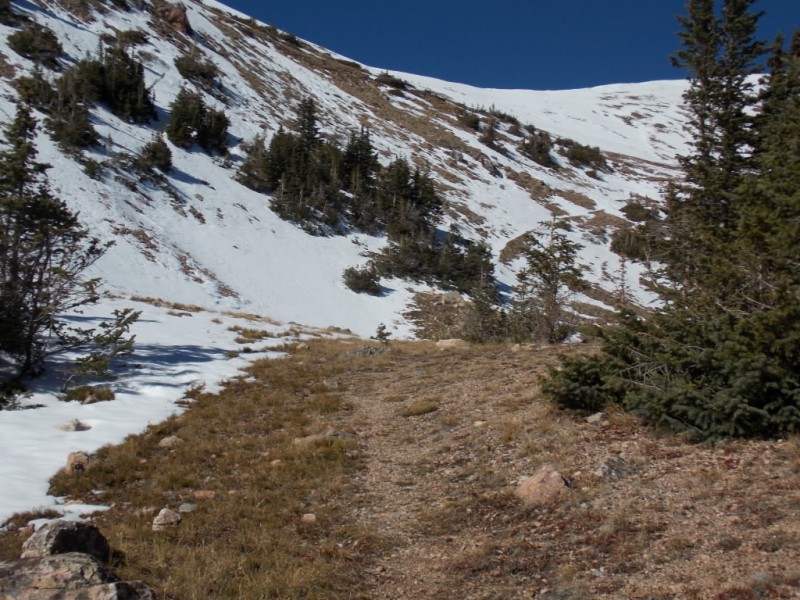
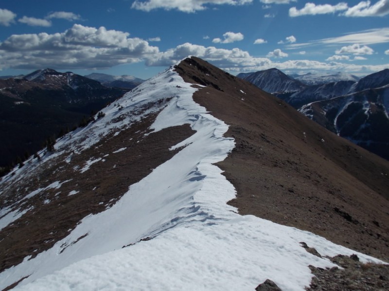
Back on the trail and continuing on the flatter portion. You can see the trail continuing right of center. At the end of the visible trail, I chose to go straight up the snow slope to the saddle.
Once on the saddle, I had the choice of going to the right and up North Diamond Peak...
...or left to South Diamond.
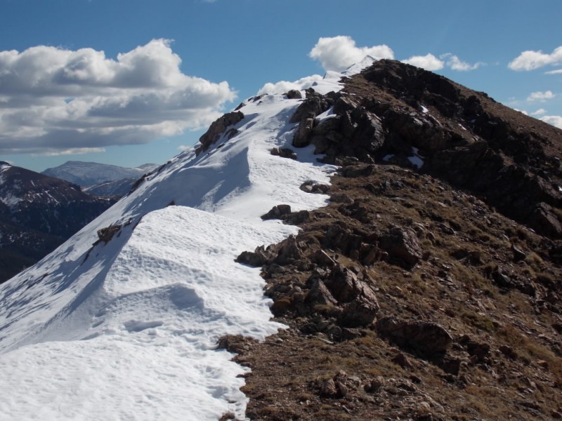
I chose South Diamond. It was an easy ridge walk to the summit.
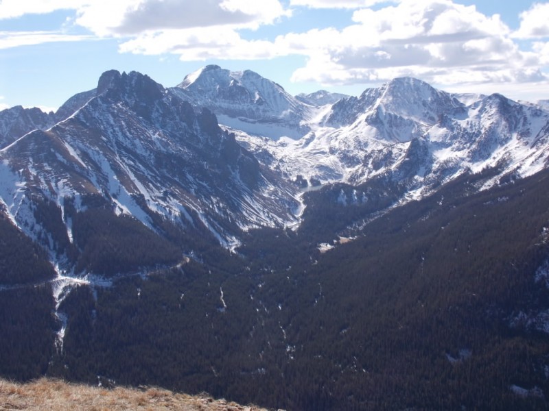
The summit views were fantastic (as they almost always are)
Looking south with Longs Peak in the distance.
Nokhu Crags and Mount Richtoften (I think...)
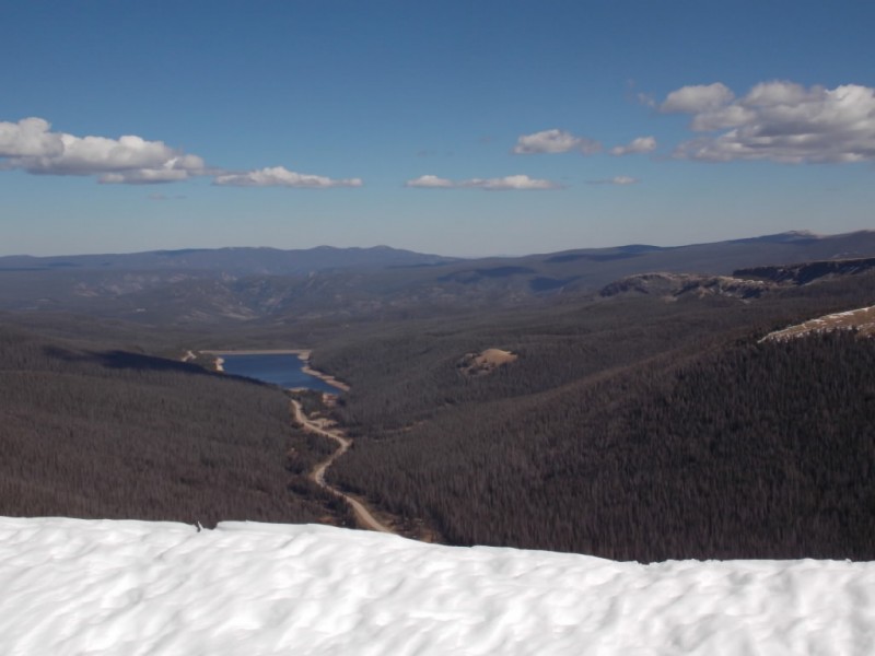
Looking east to Joe Wright Reservoir
Looking west to the meandering CO14 on its way to Walden
I thought about going over and catching North Diamond Peak but decided against it for a couple reasons - I kinda wanted to do that one with GreenhouseGuy and it was starting to get late enough that hunters were making their presence known. I saw a couple on my way down and several at the pullout area.
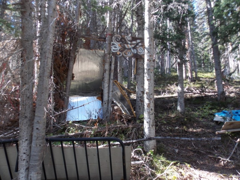
On the way down, I took a slightly different route and came across this. No indication that anyone had been here in a while and I'm not 100% sure what it was. Any ideas?
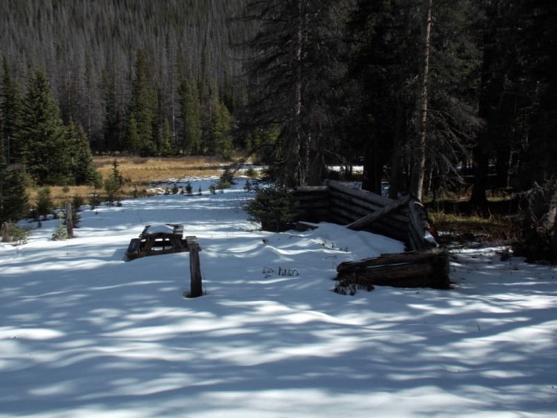
And, right near the pullout was a picnic table back in the woods a little ways. I hadn't noticed this on the way up.
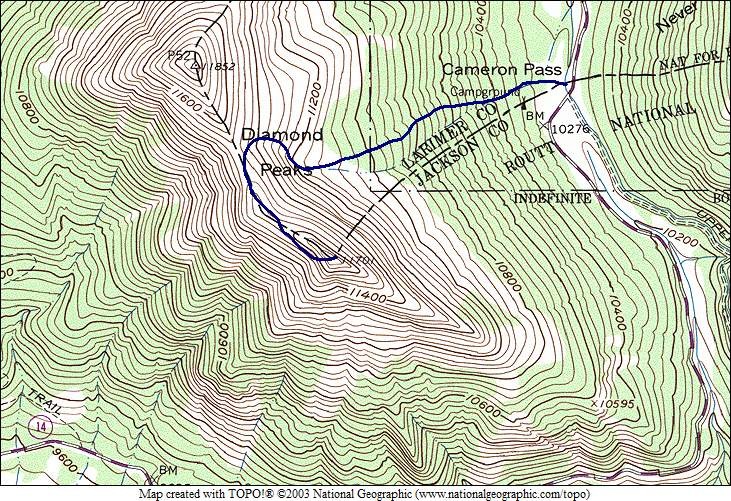
As I don't have a GPS, this is an approximation of my route.
This is an easy, short hike to a couple mountains that afford some beautiful views. And the drive up Poudre Canyon is very enjoyable - especially if you haven't been up there in a while.
Thanks for taking the time to read this and be careful out there!
Thumbnails for uploaded photos (click to open slideshow):
David - yeah, I need to keep Larimer County on my radar. Lots of nice stuff up there. My grandparents had a cabin in Red Feather decades ago and I spent a lot of time there as a kid. Gotta start going back up that way.
Otina - you are quite welcome. After your Trip/Injury report, I can't look at carved turns without thinking about you.
Brandon - Compared to what you do, this is kindergarten stuff. But kindergarten can be fun!
Raj - 11ers ARE fun. Thanks for the compliment, man!
All - thanks again for the compliments and likes. They make doing these TR's worthwhile.
Caution: The information contained in this report may not be accurate and should not be the only resource used in preparation for your climb. Failure to have the necessary experience, physical conditioning, supplies or equipment can result in injury or death. 14ers.com and the author(s) of this report provide no warranties, either express or implied, that the information provided is accurate or reliable. By using the information provided, you agree to indemnify and hold harmless 14ers.com and the report author(s) with respect to any claims and demands against them, including any attorney fees and expenses. Please read the 14ers.com Safety and Disclaimer pages for more information.
Please respect private property: 14ers.com supports the rights of private landowners to determine how and by whom their land will be used. In Colorado, it is your responsibility to determine if land is private and to obtain the appropriate permission before entering the property.


")
")
")
")
")
")
")
")
")
")
")
")
")
")
")
")
")