Download Agreement, Release, and Acknowledgement of Risk:
You (the person requesting this file download) fully understand mountain climbing ("Activity") involves risks and dangers of serious bodily injury, including permanent disability, paralysis, and death ("Risks") and you fully accept and assume all such risks and all responsibility for losses, costs, and damages you incur as a result of your participation in this Activity.
You acknowledge that information in the file you have chosen to download may not be accurate and may contain errors. You agree to assume all risks when using this information and agree to release and discharge 14ers.com, 14ers Inc. and the author(s) of such information (collectively, the "Released Parties").
You hereby discharge the Released Parties from all damages, actions, claims and liabilities of any nature, specifically including, but not limited to, damages, actions, claims and liabilities arising from or related to the negligence of the Released Parties. You further agree to indemnify, hold harmless and defend 14ers.com, 14ers Inc. and each of the other Released Parties from and against any loss, damage, liability and expense, including costs and attorney fees, incurred by 14ers.com, 14ers Inc. or any of the other Released Parties as a result of you using information provided on the 14ers.com or 14ers Inc. websites.
You have read this agreement, fully understand its terms and intend it to be a complete and unconditional release of all liability to the greatest extent allowed by law and agree that if any portion of this agreement is held to be invalid the balance, notwithstanding, shall continue in full force and effect.
By clicking "OK" you agree to these terms. If you DO NOT agree, click "Cancel"...
Route: Jagged Mtn N face (class 5.0)
Who: scotthsu (Scott) and Nice Axe! (Amy)
Altitude climbed: 2548' net (Needleton to high camp, add another ~200ft to include Watertank Hill), 3064' (summit day)
Time up: 6 hours (to high camp), ~5.5 hours (high camp to summit)
Time down: ~4.5 hours (summit to high camp), 5 hours (high camp to Needleton)
Climbing equipment: 50m rope; selection of nuts, tri-cams, & hexes; anchor gear, helmet, harness, belay/rappel devices
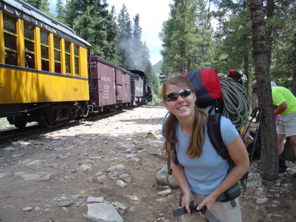
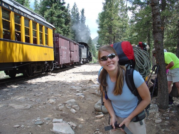
We left Los Alamos, NM after work on Friday June 30 and drove to Bloomfield, NM, stayed in the Super 8. The next morning we finished the drive to Durango in time to catch the 9am Durango Silverton Narrow Gauge Train, which dropped us off at Needleton around 11:30am along with ~20 other people. They all headed for Chicago Basin, while we were the only 2 people headed for No Name Creek. Amy chomping at the bit:
Our primary reference for the approach and climb was Roach's book "Colorado's Thirteeners," which served us well. We also made good use of the Drake Mountain Maps 1999 edition of "Map of the Mountains between Silverton and Durango."
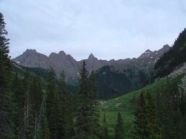
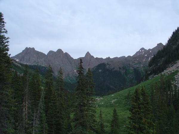
Roach's directions for the No Name Creek approach were quite good. The notorious Watertank Hill (between Needleton and the No Name Creek drainage) wasn't so bad since we were lucky to encounter it in dry conditions. It was a tremendously pleasant hike all the way up the No Name Creek drainage, and the trail was mostly easy to follow. We lost it briefly in marshy meadows only once. Here's an early view of the high peaks, from left to right: Jagged massif, Peak Ten, and Knife Point (13265', near center of photo):
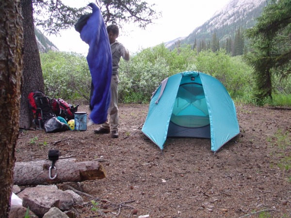
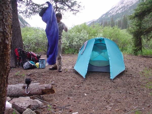
We selected a nice campsite at ~10760' right next to a fork in No Name Creek.
The next morning (summit day, 7/2/06), we started out around 6:30am, climbed two benches to ~12000' and, looking back to the west, saw this incredible view of Monitor Peak (13695', left) and Peak Thirteen (13705', right).
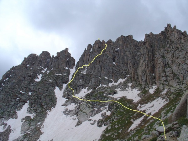
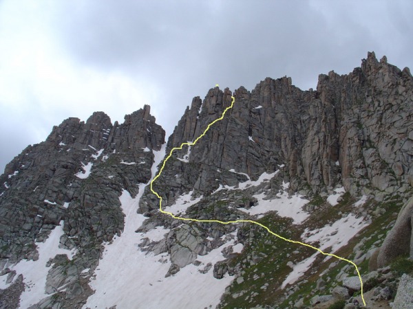
After about 2.5 hours of hiking, we finally saw our objective, the north face of Jagged Mtn from just beyond Jagged Pass (13020'), ascent route in yellow:
It was partly cloudy, and the approach took a lot of energy. I think both of us wondered if we were going to summit, but we decided to go for it.
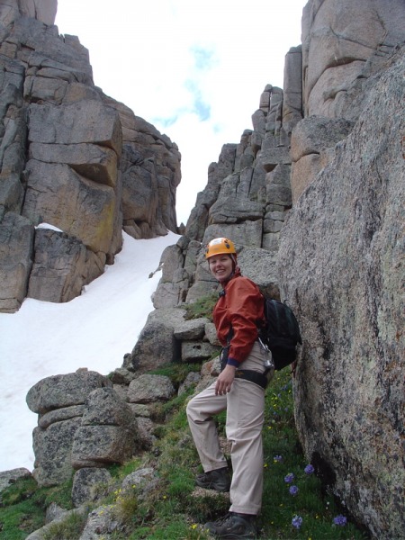
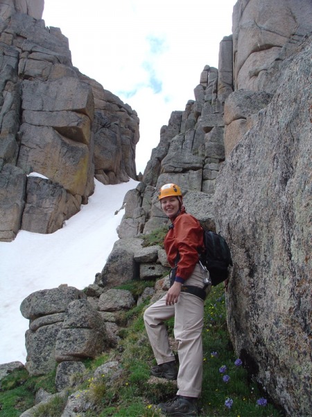
There was some wet rock at the start of the climb that made things difficult, and we actually roped up for about 50' (class 4). Amy next to the prominent snow couloir (visible in the previous picture):
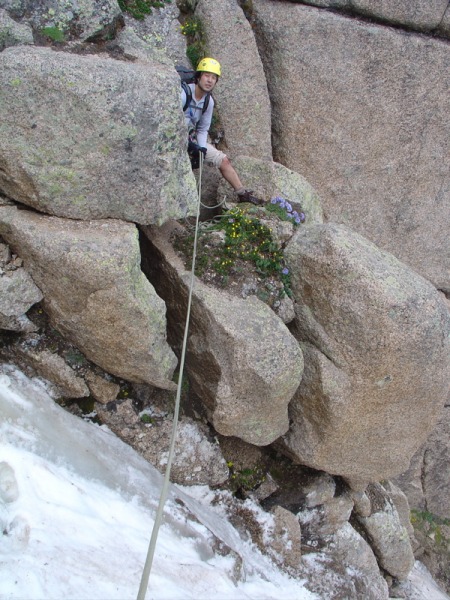
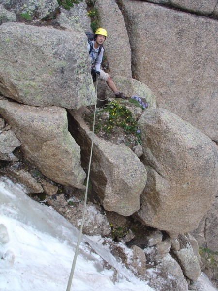
We had to cross a ~20' wide steep strip of snow/ice about halfway up the climb proper (see yellow route above). We decided to rope up again for the traverse. It was good that we did because I slipped on ice and tumbled down about 20' before Amy's belay helped stop me. I got a gash on my shin. Here's me with my pant leg up to avoid bleeding all over it, as I belayed Amy across the snow/ice:
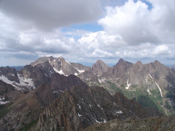
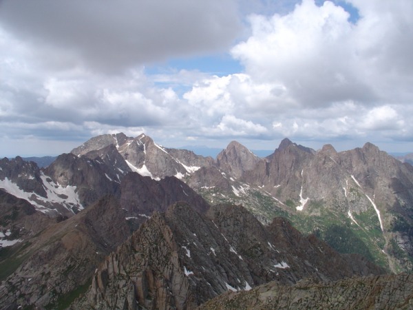
The climbing here was mostly class 2+, 3, with occasional class 4 moves. The rock was mostly solid but there were some pebbly ledges to navigate. Just below the notch, there were several class 5.0 moves, but the exposure was moderate, and we actually did not rope up again after the snow crossing. Following Roach's description, we went to the south side beyond the notch, and thus you cannot see the final few hundred feet of the route from the north. Here are some views of Eolus (14083'), Turret (13825'), and Pigeon (13972') from the notch:
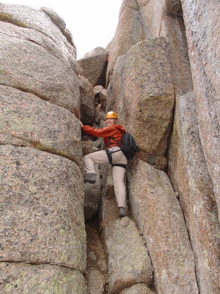
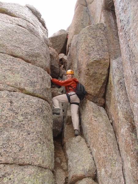
The rock beyond the notch was quite solid. Amy climbing the class 3 chimney on the south side beyond the notch and close to the summit:
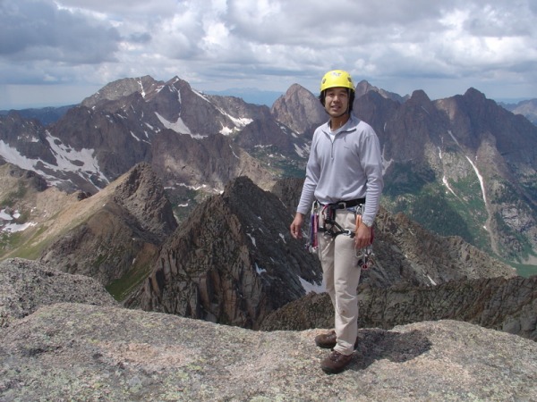
Scott on the summit!
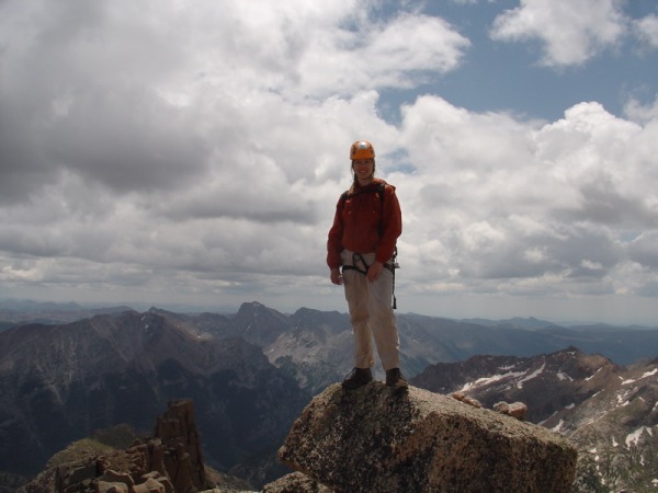
Amy on the summit!
We stayed a total of 5 minutes on the summit since clouds were threatening from all directions. We were both amazed we managed to summit amidst the clouds and felt that this was one of our most rewarding summits.
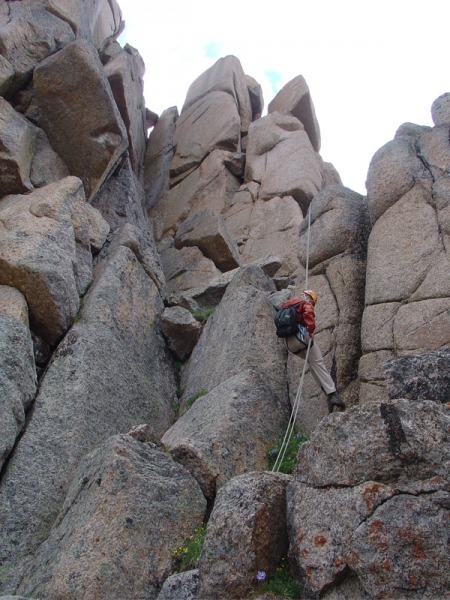
On the way down we found rap slings and made good use of them. We did two pretty long raps (one high up and one near the bottom of the climb proper). Amy on the upper rap:
The raps saved us a lot of time, and we were able to avoid downclimbing the wet crux at the bottom. The rest of the descent to high camp went smoothly, but it did start pouring on us, and the rain continued on and off for the rest of our trip.
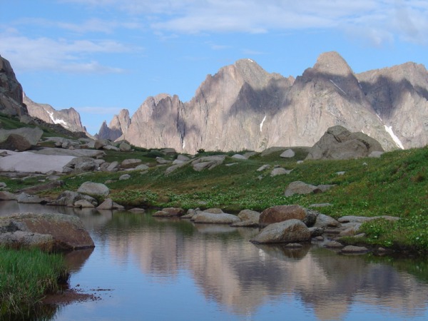
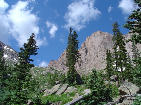
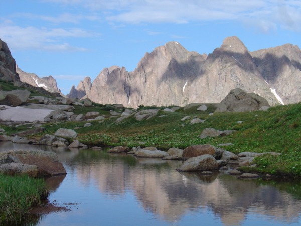
The next day (7/3/06) we did a leisurely hike from our high camp to the pass (12700') between No Name and Ruby drainages. Here is a picture of the approach toward the pass, dominated by Monitor Peak:
A highlight of the day was when we saw a huge herd of elk running across a gorgeous, steep hillside below Monitor Peak. Alas, they were far away and I didn't have a telephoto lens. At the pass, we wondered if we could make a dash down the other side for a summit attempt of Pigeon, but dark clouds squashed that idea.
The final day (7/4/06), we had good weather and a very pleasant hike back to Needleton.
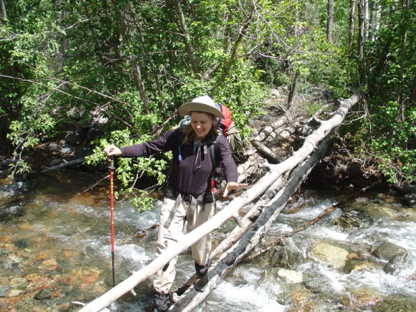
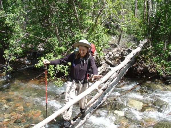
Amy crossing No Name creek near the Animas:
(We wish we had found this log bridge on the way in.)
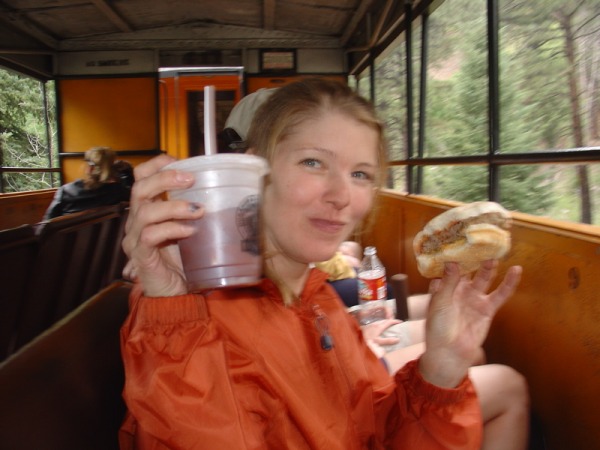
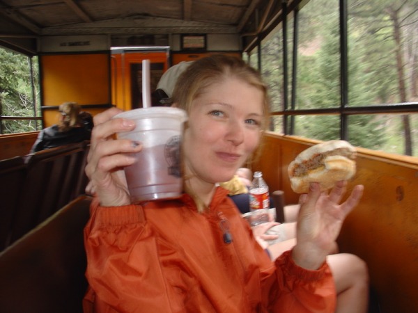
The requisite bloody mary and burger on the train ride back to Durango!
Roach says if you haven't been to Jagged, make it your next outing. We fully agree!
Thumbnails for uploaded photos (click to open slideshow):
Great write-up on Jagged! This mountain is also on my to-do list for this summer. So your pictures are invaluable! Thanks tons for posting these. The rock looks pretty good in all the pictures you have.
Congratulations on nabbing an elusive summit!
Caution: The information contained in this report may not be accurate and should not be the only resource used in preparation for your climb. Failure to have the necessary experience, physical conditioning, supplies or equipment can result in injury or death. 14ers.com and the author(s) of this report provide no warranties, either express or implied, that the information provided is accurate or reliable. By using the information provided, you agree to indemnify and hold harmless 14ers.com and the report author(s) with respect to any claims and demands against them, including any attorney fees and expenses. Please read the 14ers.com Safety and Disclaimer pages for more information.
Copyright: Route information, text, risk factors, maps, GPX files, charts, photos, 14ers.com-created map imagery, flythroughs, and other content provided in this route description are copyrighted by 14ers.com and may not be copied, reproduced, republished, distributed, modified, or used to create derivative works without prior written permission.
Please respect private property: 14ers.com supports the rights of private landowners to determine how and by whom their land will be used. In Colorado, it is your responsibility to determine if land is private and to obtain the appropriate permission before entering the property.