Lenawee Mountain
South RidgeDifficulty Difficult Class 2
Risk FactorsExposure: High
Rockfall: Considerable
Route-Finding: Moderate
Commitment: Moderate
Rockfall: Considerable
Route-Finding: Moderate
Commitment: Moderate
TrailheadLenawee
Start10,350 feet
Summit13,201 feet
Total Gain3,200 feet
RT Length7.75 miles
AuthorBillMiddlebrook
Last UpdatedMay 2023

Trailhead
Take U.S. 6 to the west end of Keystone and locate Montezuma Road. Drive ~4.3 miles on Montezuma road and turn left into a large parking area at the start of the Peru Creek 260 road (dirt). Drive 1.7 miles on 260 to reach the Lenawee trailhead, at 10,350'. There's parking for a car or two near the sign and parking for a few more just up the road.
Route
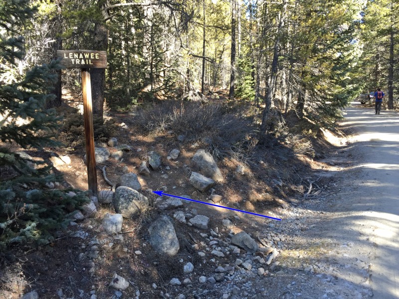
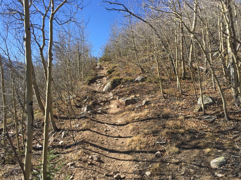
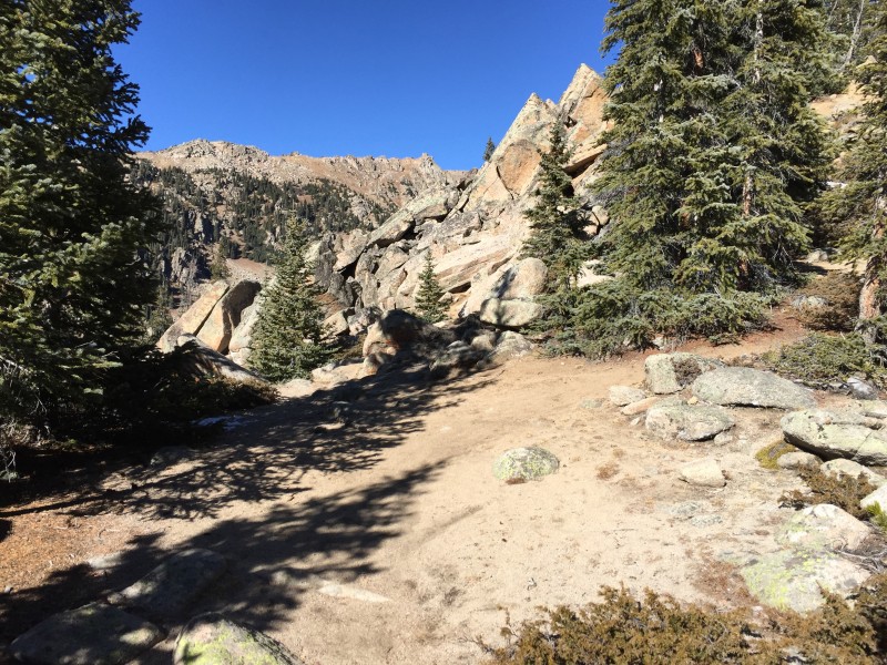
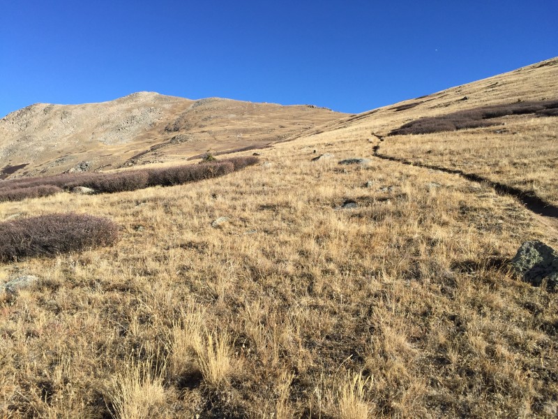
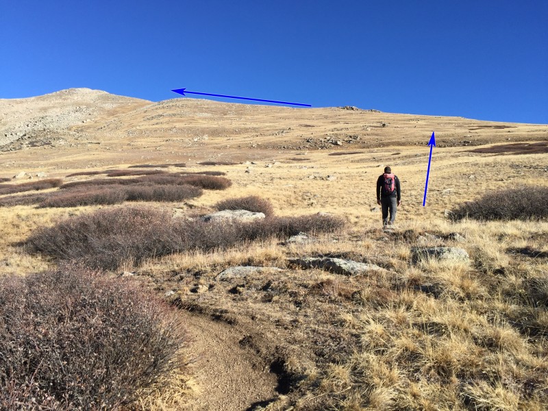
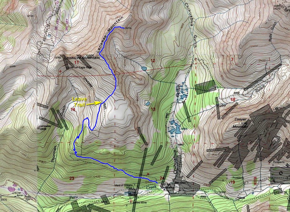
Locate the marked Lenawee trail and start northwest up into the forest - 1. Lenawee is a well-maintained trail and used by mountain bikers who ride it from the top of the A-Basin ski area. Pass through an avalanche path ( 2) and continue to 11,500' where you'll get a nice view into Thurman Gulch - 3. Continue on the excellent trail and exit the forest, near 11,800' - 4. With Lenawee Mountain's south ridge in view, follow the trail south and then north above tree line - 5 and 6. Now in the open tundra, continue north to 12,200' before leaving the Lenawee trail and heading northeast toward the ridge - 7.
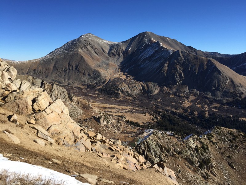
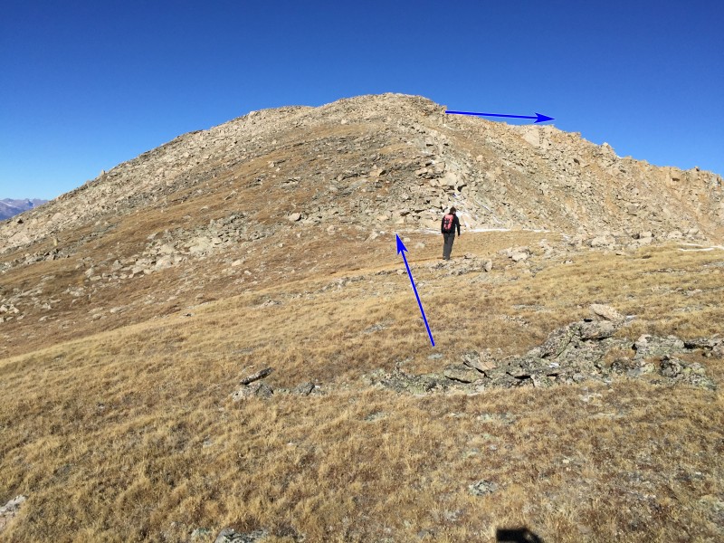
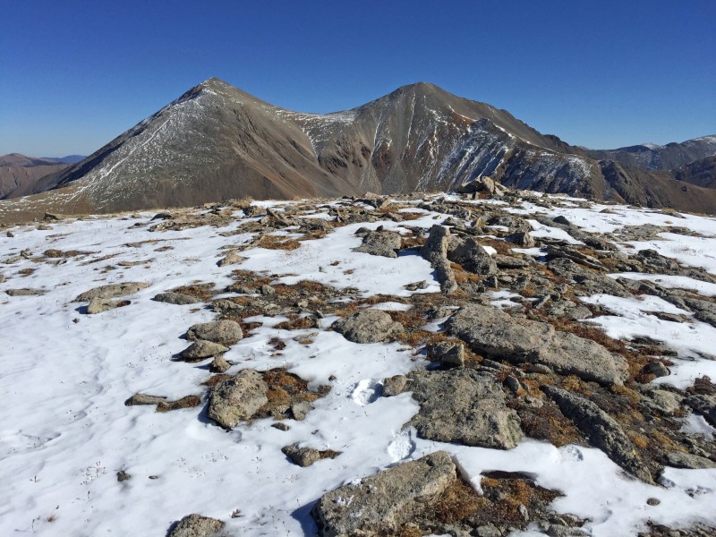
Without a trail, walk less than 1/2 mile northeast to reach the crest of the south ridge, near 12,600' - 8 and 9. Continue north and northwest 1/2 mile up the easy ridge and gain a 13,100-foot point - 10. Well, you don't actually have to gain the top of the point because you can easily skirt the last 50' on the east side. After hiking roughly 3.25 miles, you finally have a clear view to the summit - 11.
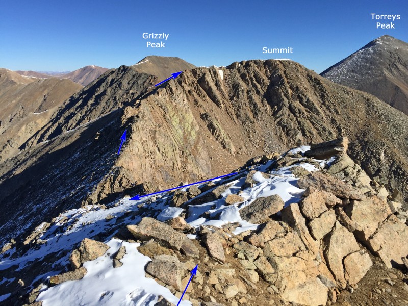
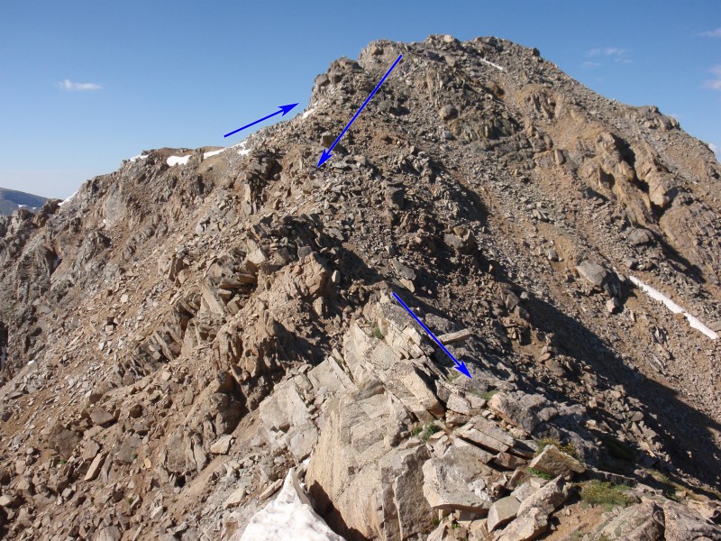
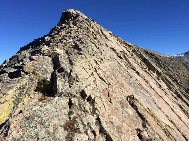
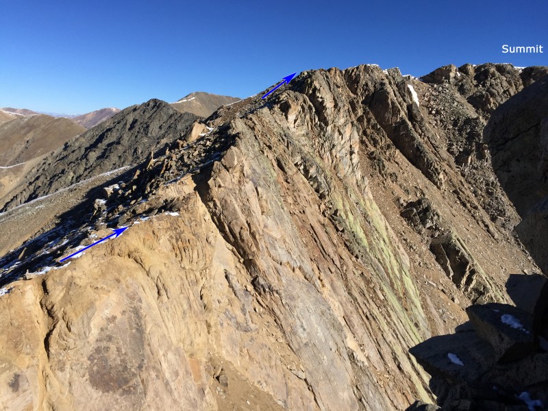
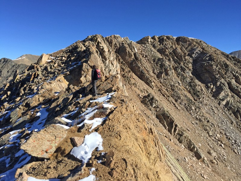
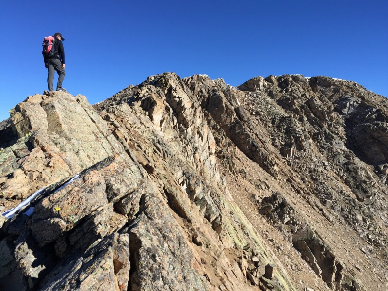
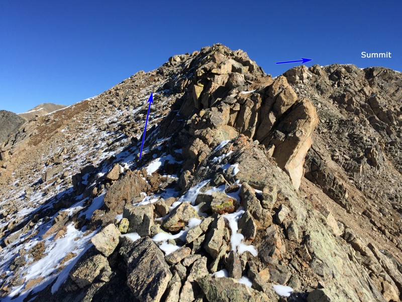
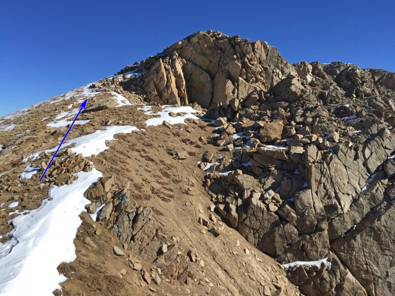
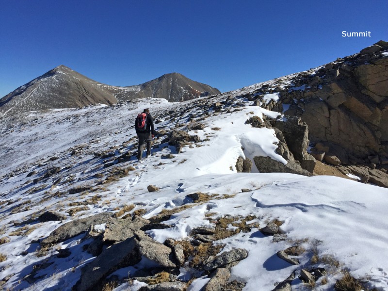
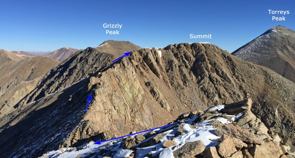
Now the fun begins! The summit is 0.6 mile away but there's a rugged ridge in your way and it includes some drop and regain in elevation. The difficulty of the remaining route can be kept at "Difficult" Class 2 but if there's snow present, you'll definitely be forced to make a few Class 3 moves. From the point, weave your way down to the low point of the ridge - 12. Staying on the ridge, hike over a distinct point, which is easier than it looks - 13. Continue on or just left of the ridge crest - 14, 15 and 16. As you approach the turn toward the summit, bypass the ridge crest on the left ( 17) and follow easier terrain up to the top - 18, 19 and 20.
Notes
The difficulty of this route can be kept to Difficult Class 2 when it's dry. When there's snow on the upper ridge, it will require some Class 3 scrambling.
 |
Caution: The information contained in this route may not be accurate and should not be the only resource used in preparation for your climb. Failure to have the necessary experience, physical conditioning, supplies or equipment can result in injury or death. 14ers.com and the author(s) of this route provide no warranties, either express or implied, that the information provided is accurate or reliable. By using the information provided, you agree to indemnify and hold harmless 14ers.com and the route author(s) with respect to any claims and demands against them, including any attorney fees and expenses. Please read the 14ers.com Safety and Disclaimer pages for more information.
