Download Agreement, Release, and Acknowledgement of Risk:
You (the person requesting this file download) fully understand mountain climbing ("Activity") involves risks and dangers of serious bodily injury, including permanent disability, paralysis, and death ("Risks") and you fully accept and assume all such risks and all responsibility for losses, costs, and damages you incur as a result of your participation in this Activity.
You acknowledge that information in the file you have chosen to download may not be accurate and may contain errors. You agree to assume all risks when using this information and agree to release and discharge 14ers.com, 14ers Inc. and the author(s) of such information (collectively, the "Released Parties").
You hereby discharge the Released Parties from all damages, actions, claims and liabilities of any nature, specifically including, but not limited to, damages, actions, claims and liabilities arising from or related to the negligence of the Released Parties. You further agree to indemnify, hold harmless and defend 14ers.com, 14ers Inc. and each of the other Released Parties from and against any loss, damage, liability and expense, including costs and attorney fees, incurred by 14ers.com, 14ers Inc. or any of the other Released Parties as a result of you using information provided on the 14ers.com or 14ers Inc. websites.
You have read this agreement, fully understand its terms and intend it to be a complete and unconditional release of all liability to the greatest extent allowed by law and agree that if any portion of this agreement is held to be invalid the balance, notwithstanding, shall continue in full force and effect.
By clicking "OK" you agree to these terms. If you DO NOT agree, click "Cancel"...
TH: Montgomery Reservoir/Magnolia Mine
Those in attendance: Derek and Greenhouseguy
Distance : Around 10 miles
Elevation : Around 3,250'
It was 5:00 AM Sunday morning at the TREX parking lot, and I was waiting to meet up with Greenhouseguy for a trip to the Ten Mile/Mosquito range. It all felt strangely familiar. This was probably because it was the same time, place, and similar destination that we had met up for last week. Last Sunday, we were able to complete a nice trip up Atlantic and Pacific. Today, we were aiming for their neighboring centennial and friends in Clinton, McNamee, and Traver Peaks.
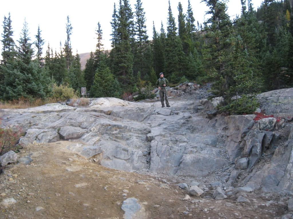
After throwing my gear into Greenhouseguy's Cherokee, we were off. The ride went fast, and we rolled past Montgomery Reservoir just before 7:00, right as the sky was lighting up. We parked beside Magnolia Mine next to a tricky section in the 4WD road. Bill mentioned in his route description from breckenridgeclimbing.com that this is one of the roughest roads in the area, and I believe it. As he mentions, stock vehicles probably should not attempt to get to Wheeler Lake.
Derek on the 4x4 road to Wheeler Lake. (Photo by Greenhouseguy)
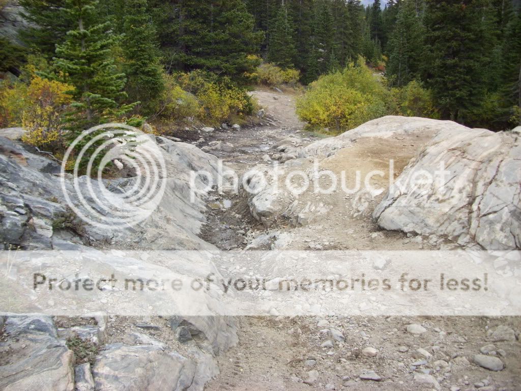
Portion of the road. (Picture taken later in the day.)
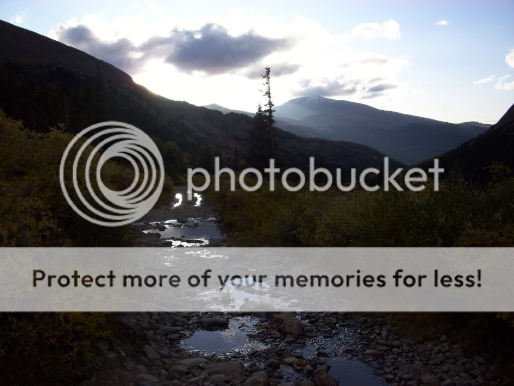
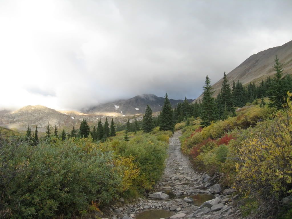
We started out walking up the road to Wheeler Lake. Very little elevation is gained in the first 2 miles towards the lake, although large rocks and flowing water forced us to keep close attention to our footing choices. The sun was rising behind us, and before long I needed to stop to shed a layer. (Due to the varying types of weather we would encounter, my "layering stops" proved to be quite frequent.)
Looking back down the road to the east with Mt. Silverheels in the background.
Looking ahead on the road to Wheeler Lake. (Photo by Greenhouseguy)
Just shy of the lake looking back towards the trailhead.
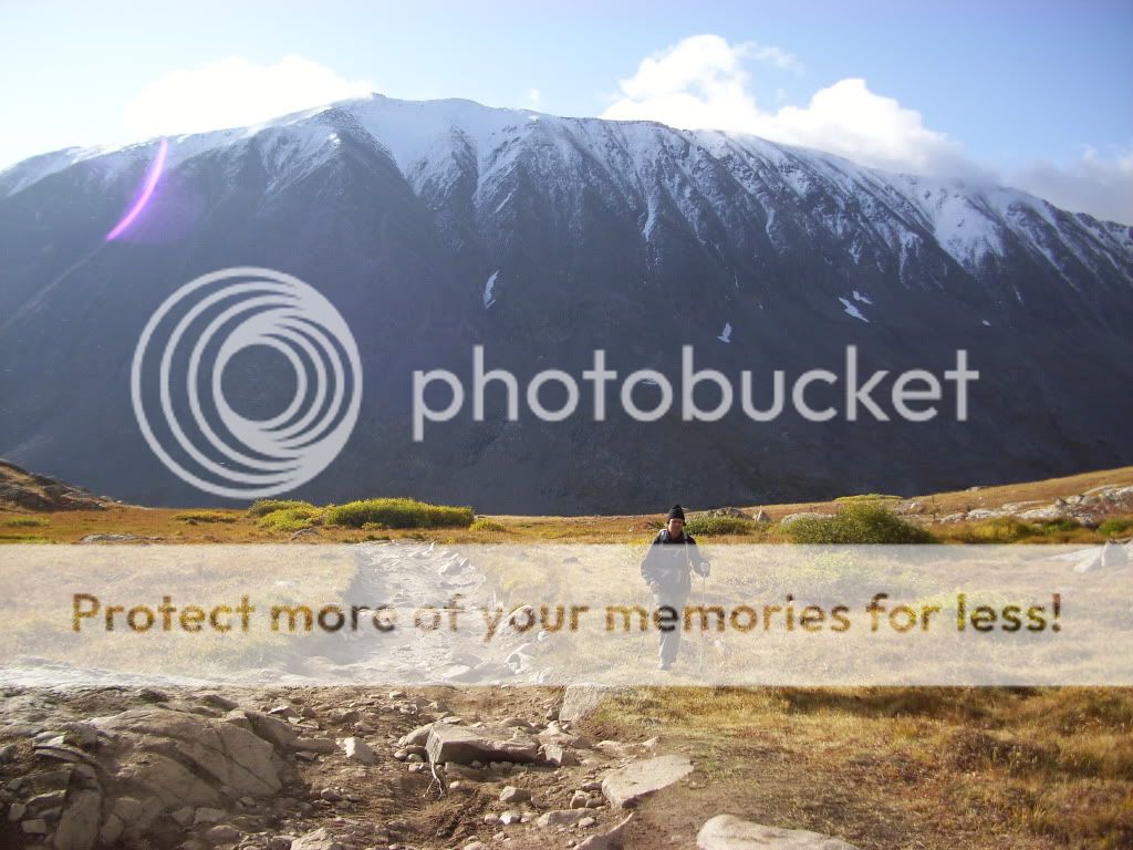
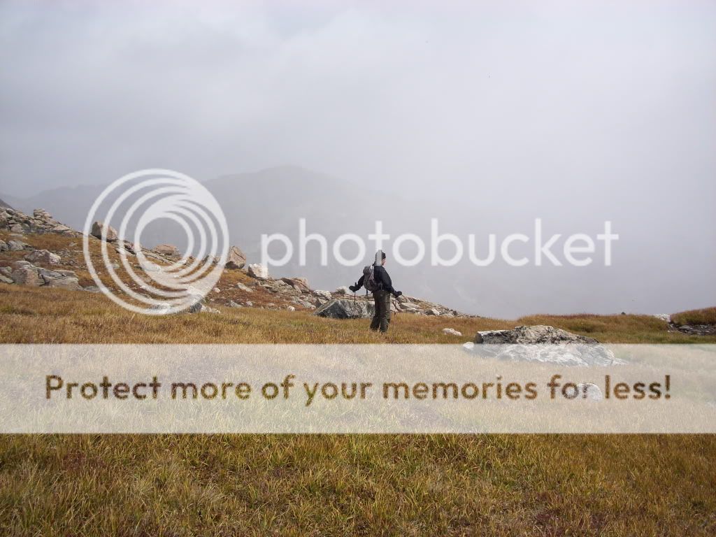
Greenhouseguy heading up towards Wheeler Lake, Mt. Lincoln looking impressive in the background.
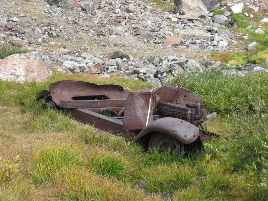
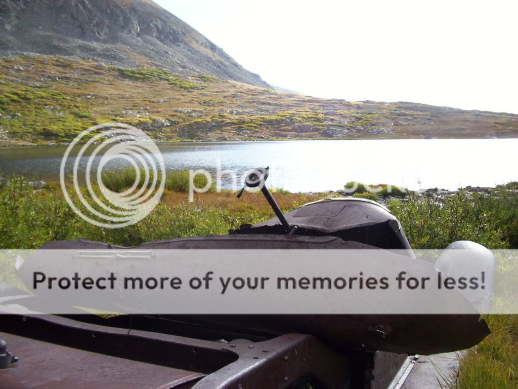
We arrived at Wheeler Lake (12,168') after about 3 miles and 1,200' of hiking up the road. We noticed a number of campers at the lake, all appeared to have arrived via 4x4's. We passed on by the campers and continued up the west side of Wheeler Lake. After circling the lake to the west, we eventually came up on the old vehicle mentioned in many route descriptions. We investigated the rusted remains for a bit, having fun trying to figure out the make of the vehicle. After confirming that an on the spot fix up was out of the question, we continued on. I guess we wouldn't have a sweet ride for the way down...
Your standard fixer-upper. (Photo by Greenhouseguy)
View of Wheeler Lake from the car.
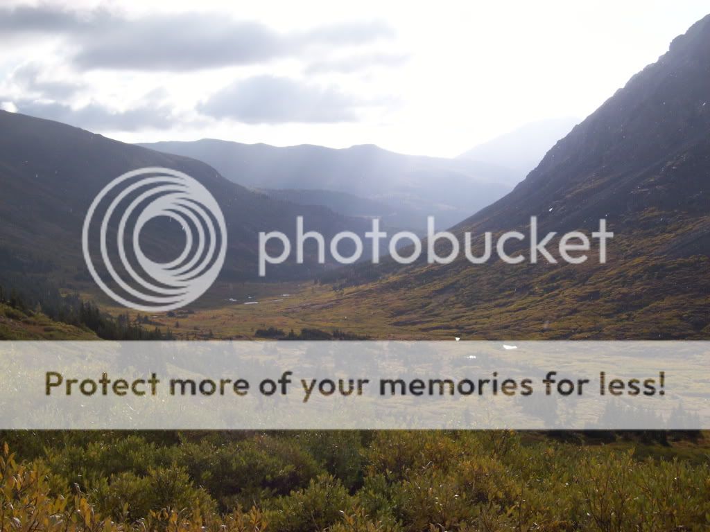
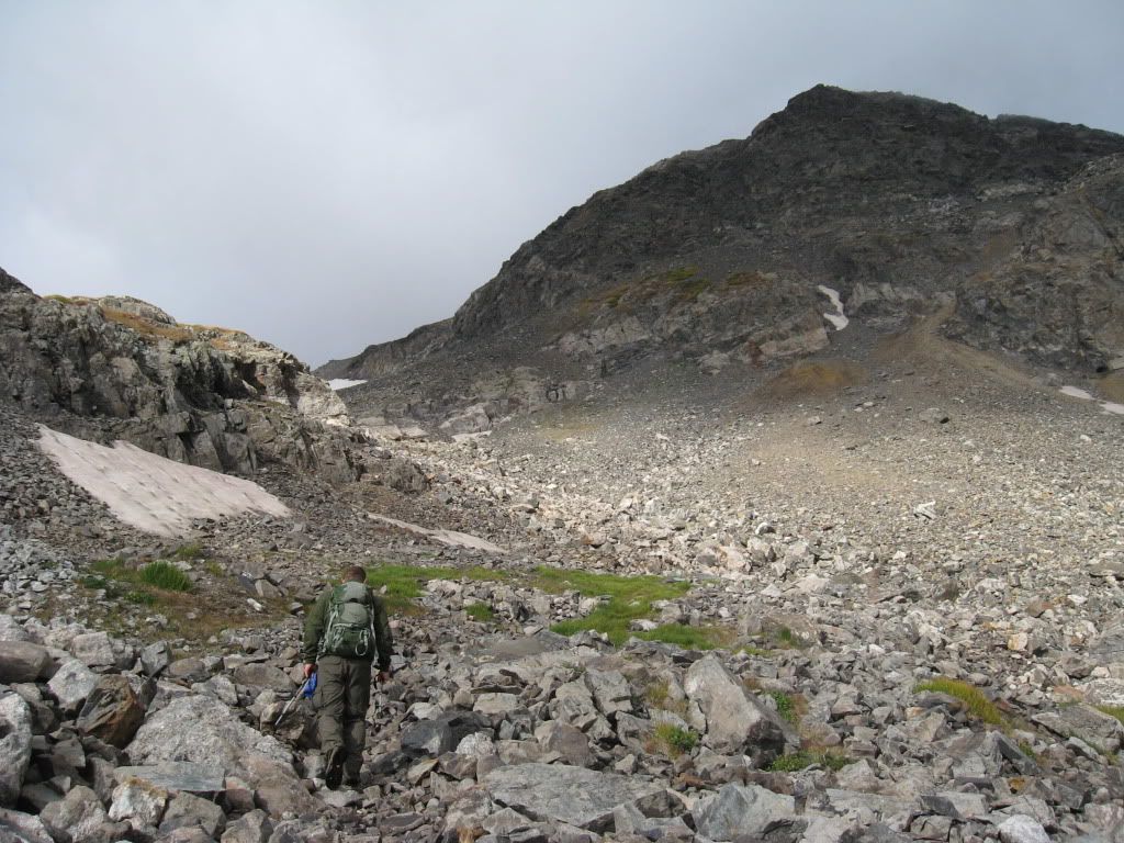
From the location of the vehicle, we headed SW up a rocky section to reach the first of many level basins. The easiest way to continue would be to follow creek further up to the basin. (This is the same creek that produces the waterfall above the west side of Wheeler Lake.) Although we stayed within close view of the creek, we ended up talus hopping a little higher to the North of the creek. By doing this we were able to maintain somewhat of a constant increase in elevation, rather than jumping from basin to basin at creek level.
Derek heading up towards the first basin. Wheeler Mountain pictured (Photo by Greenhouseguy)
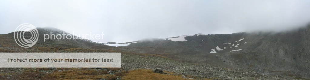
View from just past the lake looking up towards our intended route. Traver Peak is in the clouds left-center.
Greenhouseguy working his way over the rocks towards the upper basin.
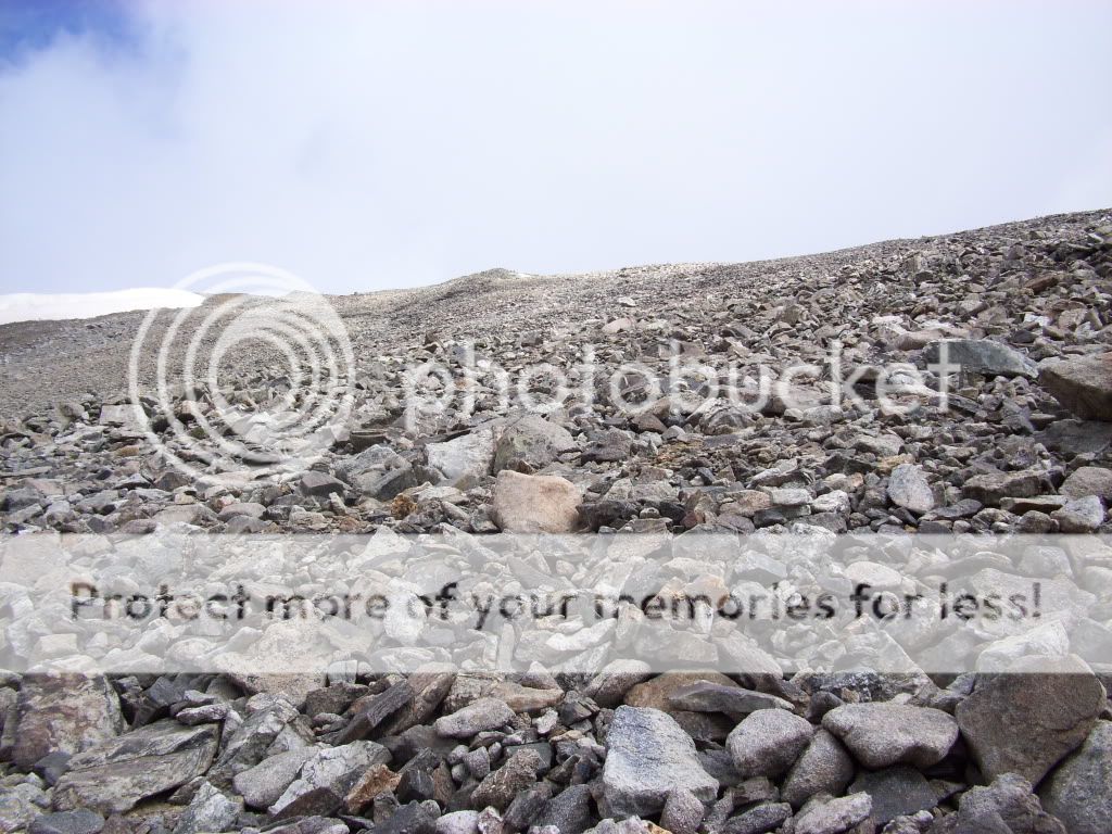
There were no trails for us to follow since leaving the Lake below (at least that we could find) although this was fine as the valley was "funneling" us in the right direction. Shortly after passing 13,000', we began angling more to the North, which positioned us for a direct ascent up to Clinton's eastern ridge. Again, we were unable to find any sections of trail so we decided to just start counting our steps straight up. We were able to spot the summit "pole" on Clinton from far below, so it was refreshing to know there were no false summits we would have to deal with.
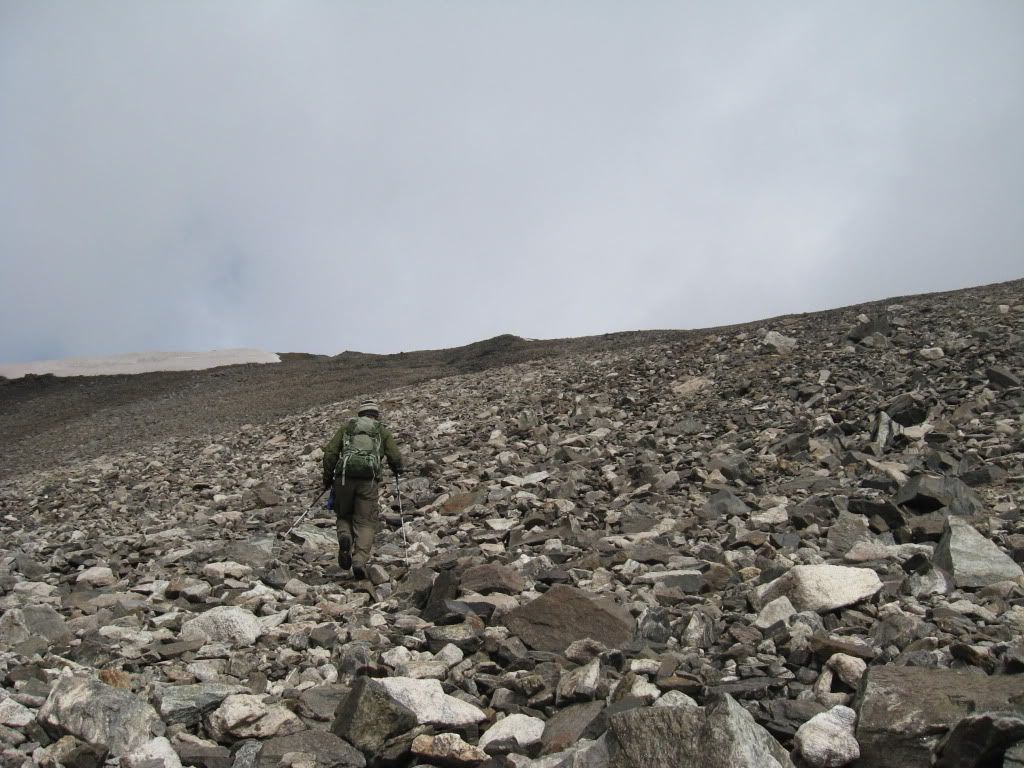
Working our way up the steep slope towards Clinton's ridge.
Looking up towards the ridge. The summit is just to the right of the snow pictured.
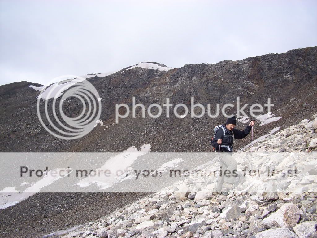
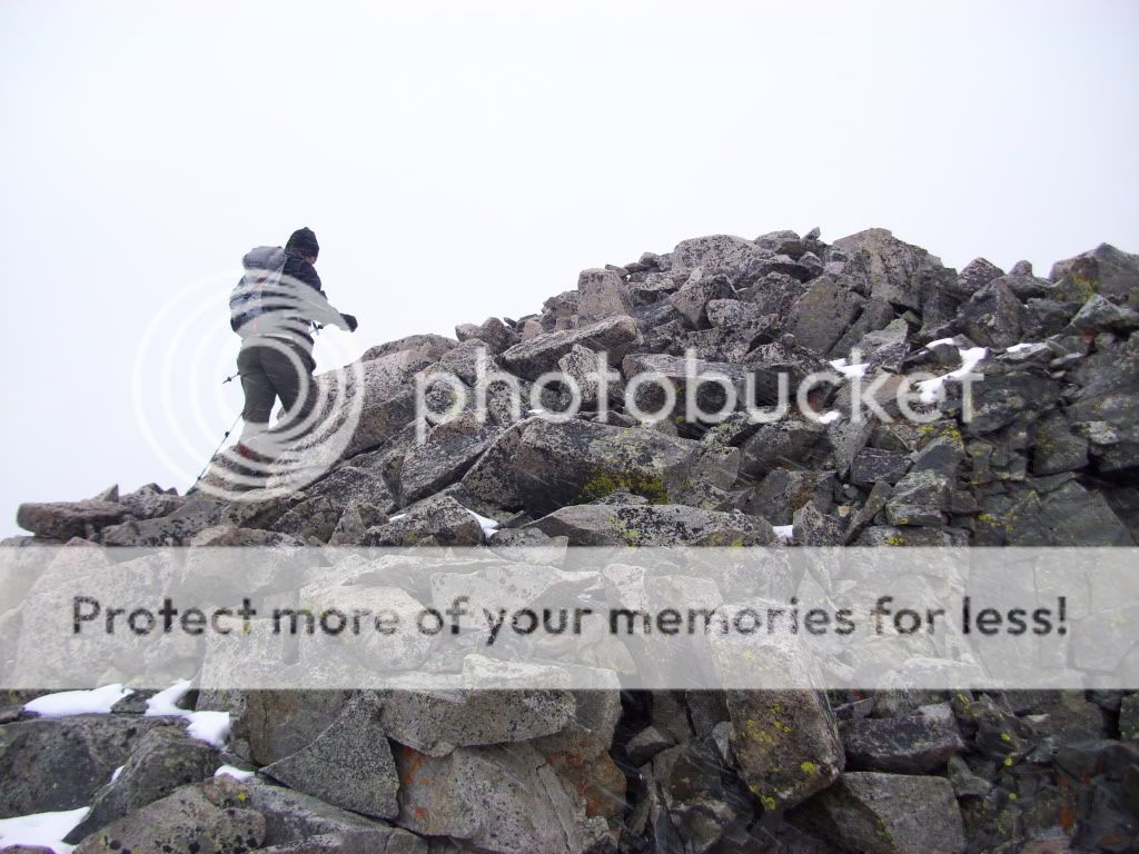
Derek on line for the summit ridge. (Photo by Greenhouseguy)
Greenhouseguy reached the ridge first and made his way over the final few yards to the summit. I caught up a minute or two later. We spent a few minutes enjoying the summit (Greenhouseguy's 6th centennial summit so far this month!) and taking pictures. We could see another group of two working their way up to Clinton from the basin below. These were the only hikers that we spotted on this day.
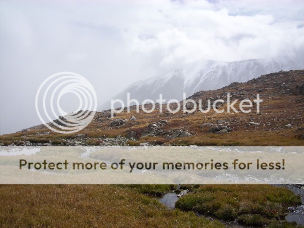
Looking east from the summit. Mt. Silverheels is in the distant center, Mt. Lincoln snow covered on the right.
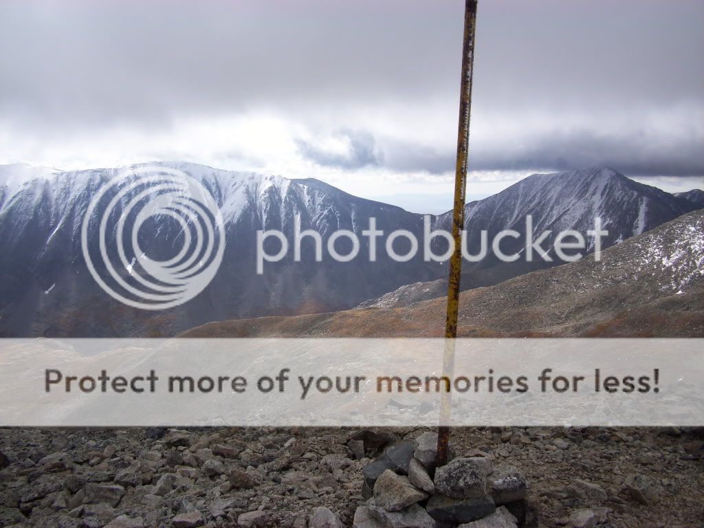
The summit pole with Lincoln (left) and Democrat (right) in the background.
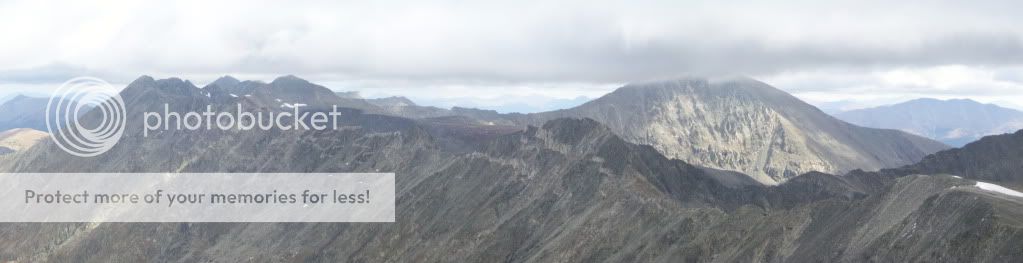
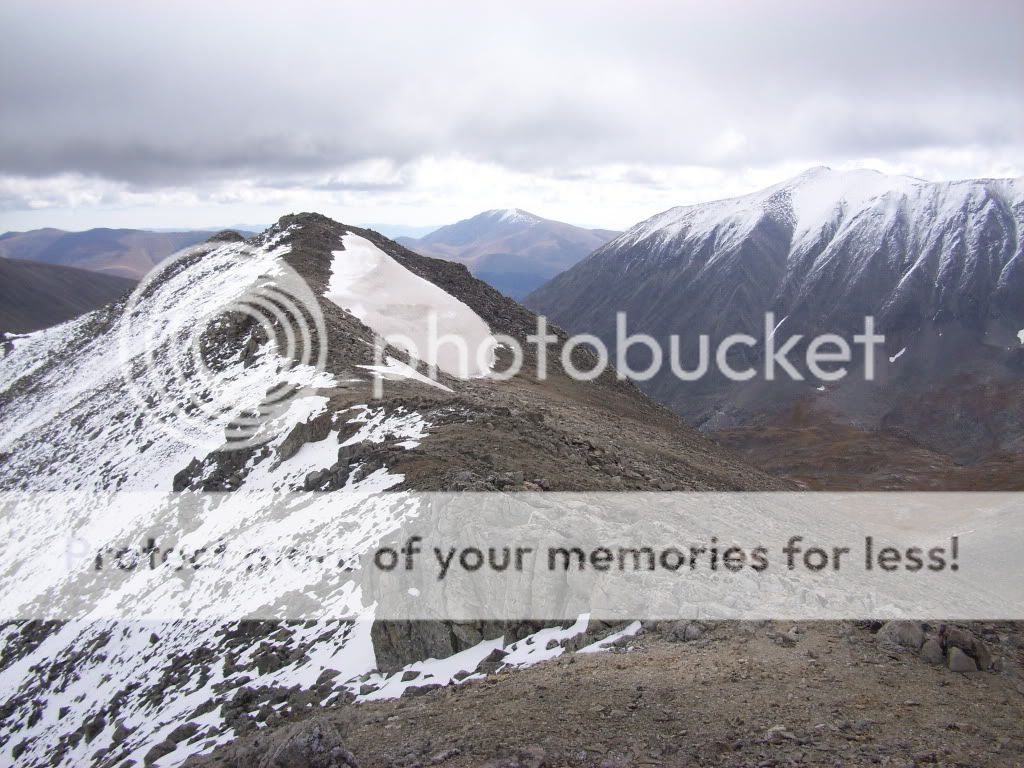
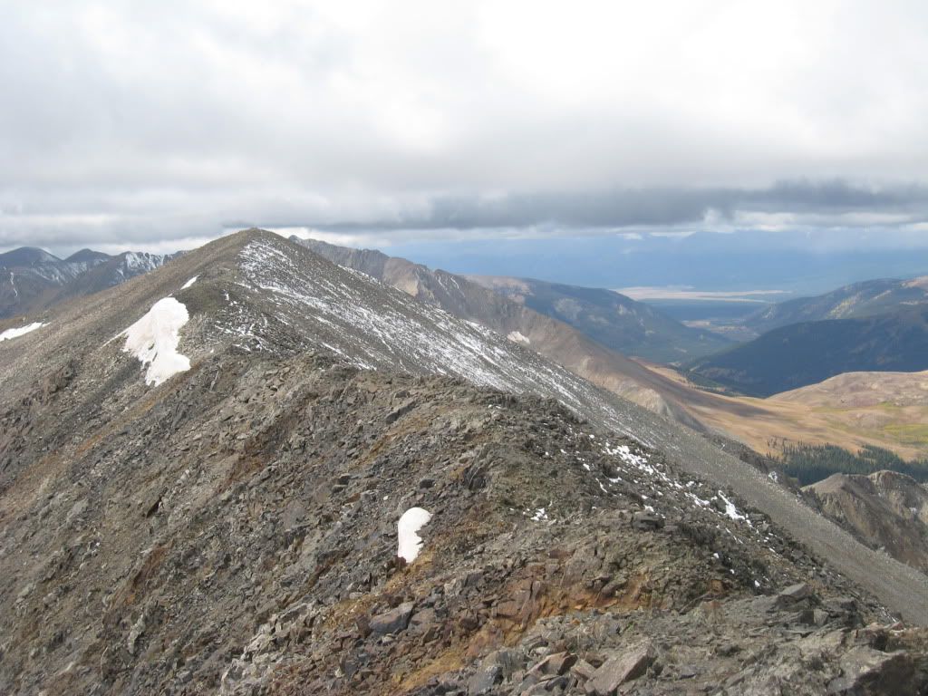
From the left - "Drift", Pacific, Atlantic, Crystal (barely), Fletcher, Wheeler (foreground) and Quandary (in the clouds) from the summit of Clinton Peak
It was already clear that weather was moving in, as the area was covered in clouds. To the west, a white wall was making its way towards us with some obvious precipitation. Even though during our ascent we were using lines like "...if we only get one summit in...", there was no question that we were ready to continue on to another summit. We descended Clinton at a quick pace working our way over towards McNamee.
Ridge to McNamee from Clinton Peak. (Photo by Greenhouseguy)
There were no real challenges on the ridge over to McNamee expect for some increasing winds. The peak really fits the bill of being an "unranked" peak. Greenhouseguy commented that it was no more than a "bump on the ridge". There was some debris on McNamee (I think I spotted a stove?) but no register. We stayed on top for maybe a total of one minute and continued on with an even quicker pace. The white "styrofoam pellets" were really beginning to fly so we didn't want to waste any more time.
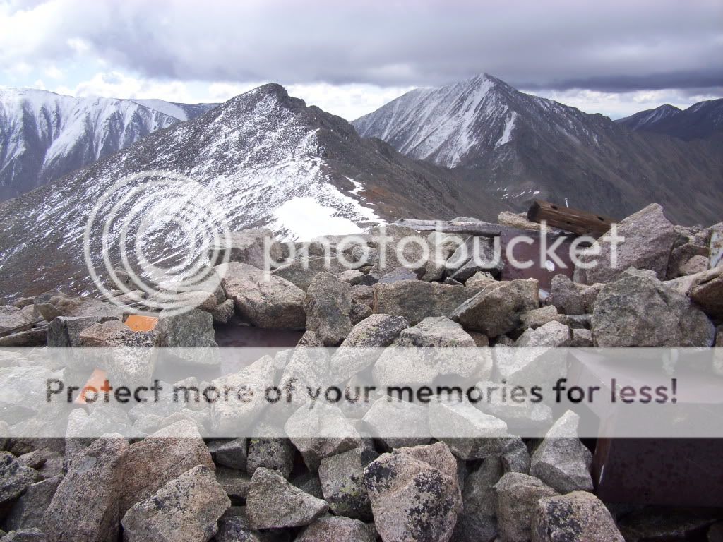
Summit junk of McNamee with Traver (center) and Democrat (right) in the background.
The ridge from McNamee to Traver is slightly more difficult than from Clinton to McNamee. (Just as an FYI, in case of weather emergencies it does seem like a descent from the McNamee/Traver saddle would be possible back into the basin and to lower ground.) Ascending from the saddle to Traver would probably be considered the most difficult portion of the loop. Though still completely class 2, there were a couple spots (if staying directly on the ridge) that my hands were put to use just to keep steady. The wind at this point didn't help matters, either.
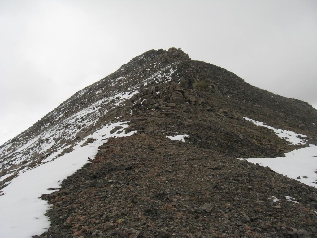
Final portion of the ridge up to Traver Peak. (Photo by Greenhouseguy)
Greenhouseguy close to the summit of Traver Peak.
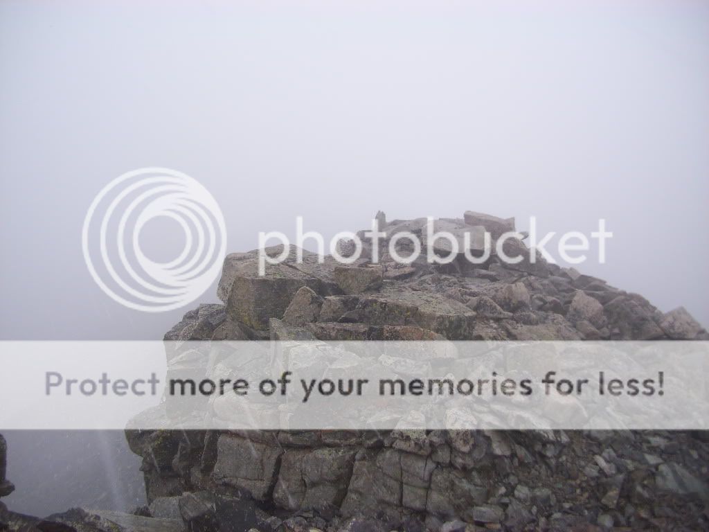
Topping out on Traver had us experiencing the worst weather so far that day. Visibility was dropping, and that dang graupel was really starting to sting my face. After a couple quick pictures and a register signing, we immediately started our descent down Traver's long east ridge. We had scoped out the ridge on our ascent and knew that we should have no problems reaching the basin by just following it down.
Winds and clouds picking up on the summit of Traver Peak.
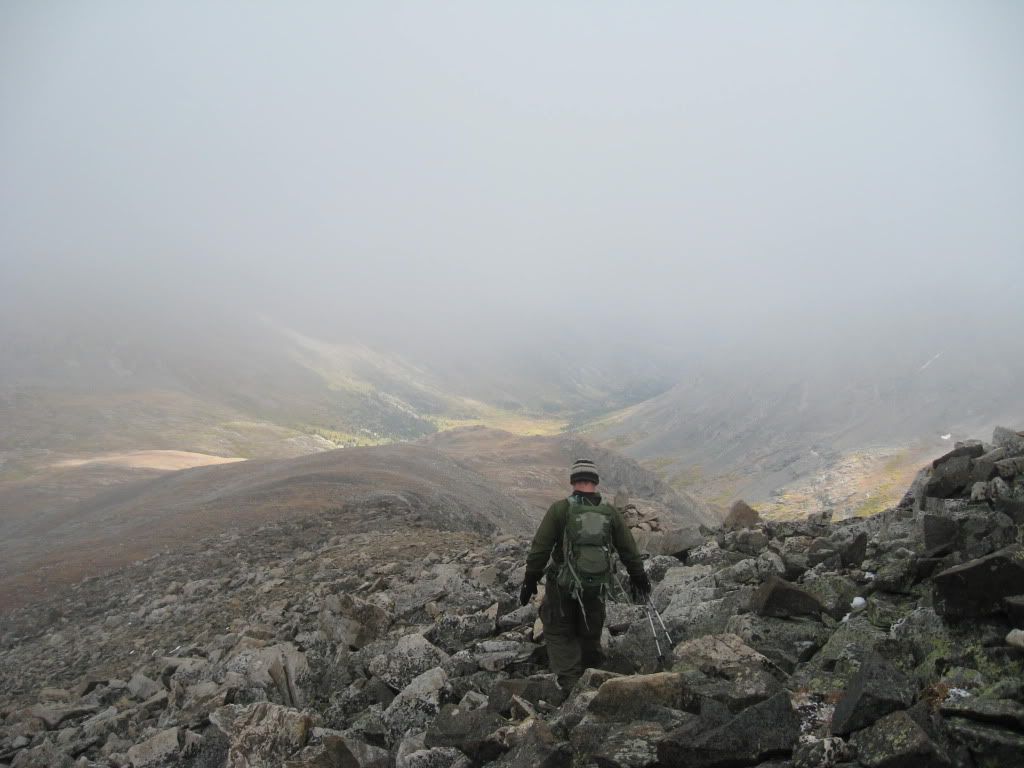
About halfway down the ridge the weather began to clear. Every now and then the clouds parted enough that we could view the mountains we had just hiked. We noticed around this time the group we spotted from Clinton's summit were now on the saddle between McNamee and Traver.
Derek working his way down Traver's ridge towards Wheeler Lake. (Photo by Greenhouseguy)
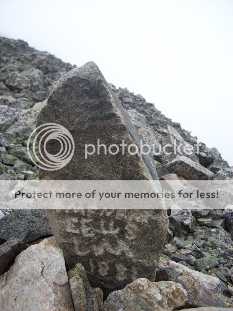
Carving in a rock during the descent of Traver's ridge.
Looking back up towards Traver, McNamee, and Clinton. (In the clouds).
Following the creek down the basin.
Greenhouseguy taking in a view.
By the time we reached the final rocky slope down to Wheeler Lake, I was again shedding layers. Though still getting hit by some occasional raindrops, the temperature was warming up. We passed by Wheeler Lake and found ourselves again on the 4x4 road that we would follow the rest of the way out. We passed a few drivers who were slowly working their way up the road, slow enough that I'm sure that it took them just as long to come up as it had taken us to hike it that morning. After a little over an hour we finally reached Magnolia Mine and Greenhouseguy's Cherokee. Maybe two minutes after arriving, the rain really started to come down. Just in time.
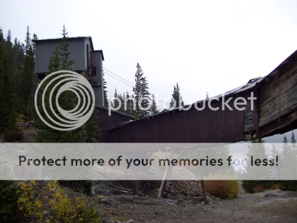
View from just above the Magnolia Mine.
Back at the mine just in time for some rain.
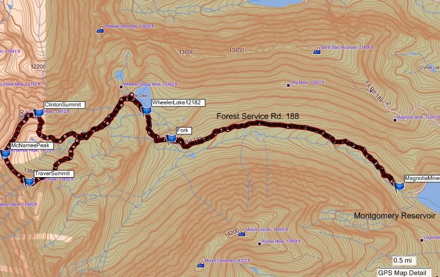
GPS track of our day's route. (GPS track courtesy of Greenhouseguy)
It turned out to be a fine day and a fine way to spend the last weekend of summer. Here's hoping for a long autumn season!
There must have been 50 Jeeps (some Jeep club) at Wheeler Lake on Sat. None appeared to be stock (lift kits at a minimum), although they were street legal.
We also ran into a couple on Wheeler that thought they had climbed Clinton (oops). We eventually saw them headed in the right direction.
Thanks for confirming my suspicions... 9/29/2009 6:53pm
about the road to Wheeler Lake. I drove just past the Magnolia Mine on a scouting mission 3 weeks ago after climbing Mount Silverheels and the road looked very very rough.
I guess I will be making the long hike in too when I give Clinton and Traver a shot next summer...
Thank you for posting this! I‘ve spent the last month finishing the centennial 13ers in the Front, Mosquito and Tenmile ranges. Clinton is one of the few I have left and this is VERY helpful and detailed hiking beta. Either of you let me know if you ever want a partner for centennials.
The beta will be helpful for later this Summer. Thanks for all the details. And your pictures are excellent! Great shots.
Caution: The information contained in this report may not be accurate and should not be the only resource used in preparation for your climb. Failure to have the necessary experience, physical conditioning, supplies or equipment can result in injury or death. 14ers.com and the author(s) of this report provide no warranties, either express or implied, that the information provided is accurate or reliable. By using the information provided, you agree to indemnify and hold harmless 14ers.com and the report author(s) with respect to any claims and demands against them, including any attorney fees and expenses. Please read the 14ers.com Safety and Disclaimer pages for more information.
Please respect private property: 14ers.com supports the rights of private landowners to determine how and by whom their land will be used. In Colorado, it is your responsibility to determine if land is private and to obtain the appropriate permission before entering the property.