Download Agreement, Release, and Acknowledgement of Risk:
You (the person requesting this file download) fully understand mountain climbing ("Activity") involves risks and dangers of serious bodily injury, including permanent disability, paralysis, and death ("Risks") and you fully accept and assume all such risks and all responsibility for losses, costs, and damages you incur as a result of your participation in this Activity.
You acknowledge that information in the file you have chosen to download may not be accurate and may contain errors. You agree to assume all risks when using this information and agree to release and discharge 14ers.com, 14ers Inc. and the author(s) of such information (collectively, the "Released Parties").
You hereby discharge the Released Parties from all damages, actions, claims and liabilities of any nature, specifically including, but not limited to, damages, actions, claims and liabilities arising from or related to the negligence of the Released Parties. You further agree to indemnify, hold harmless and defend 14ers.com, 14ers Inc. and each of the other Released Parties from and against any loss, damage, liability and expense, including costs and attorney fees, incurred by 14ers.com, 14ers Inc. or any of the other Released Parties as a result of you using information provided on the 14ers.com or 14ers Inc. websites.
You have read this agreement, fully understand its terms and intend it to be a complete and unconditional release of all liability to the greatest extent allowed by law and agree that if any portion of this agreement is held to be invalid the balance, notwithstanding, shall continue in full force and effect.
By clicking "OK" you agree to these terms. If you DO NOT agree, click "Cancel"...
The approach:
I left aspen around 1:15 am and met Tyler at the Old Snowmass turnoff. We drove up to the trailhead and had our packs on hiking by 2:05 AM. We took off at a pretty decent pace and reached the creek crossing in an hour or so, headed up to the bridge that is slightly upstream from where the trail hits it. Back on the trail we kept a good pace going and made the lake at exactly 4:05 am. There was a stream of hikers headed up to the saddle between Capitol and Daly. About the time we started up, they were just cresting the saddle.
We got back on pace after about a 15 min break at the lake and were up the slope in no time. We stopped for about 5 min, and continued on around the backside of the peak. Almost immediately we caught one group in the small gully that downclimbs and traverses into West Snowmass Creek. We found an easier route than what they seemed to be doing and continued on our way crossing short low-angled snowfields and rockfields on our way. We passed another group of 3 and noticed their buddy who had taken the class � ridge above. There was starting to be the glow of daylight in the eastern sky, and we finally turned our headlamps off.
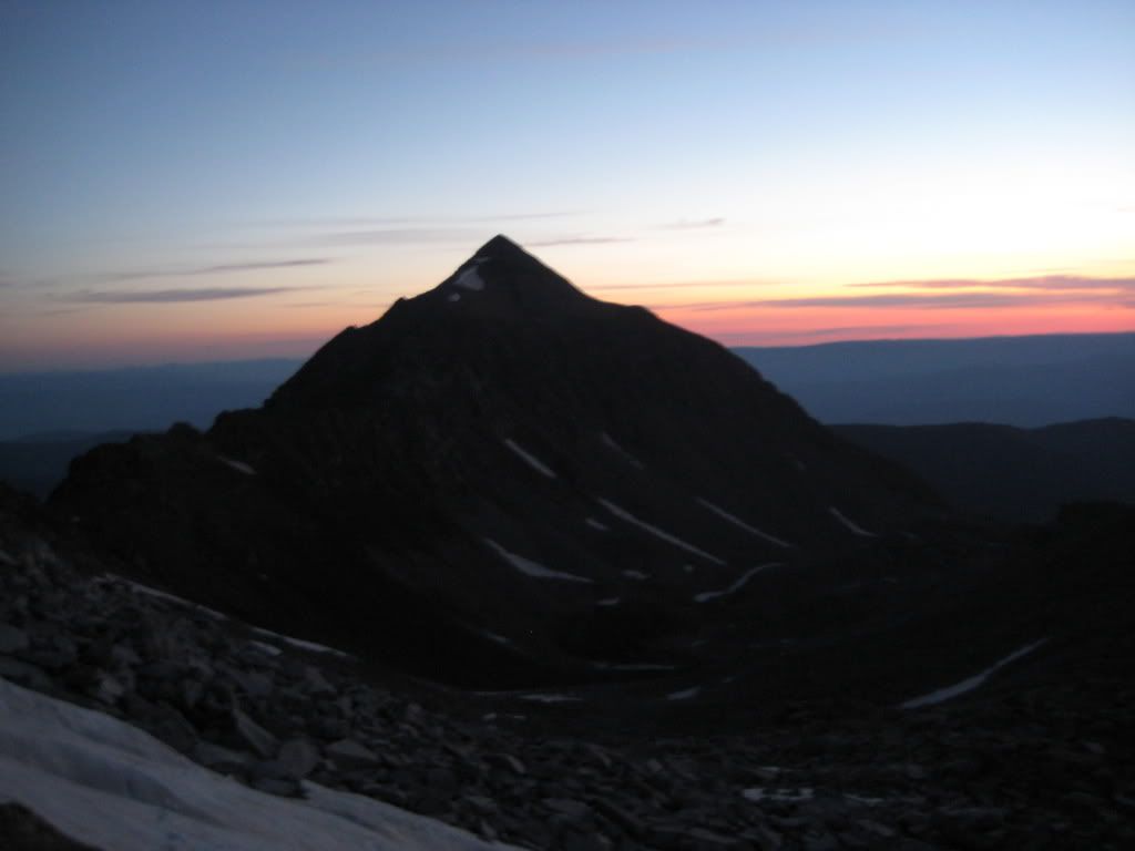
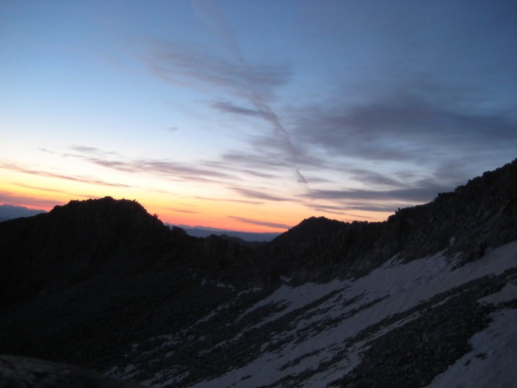
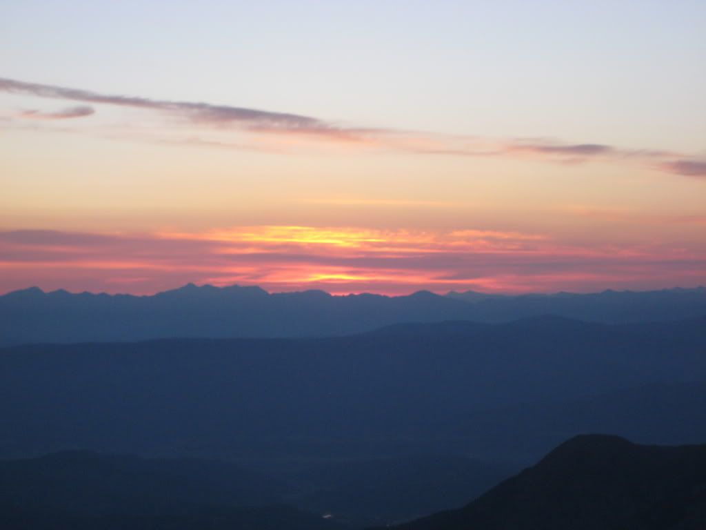
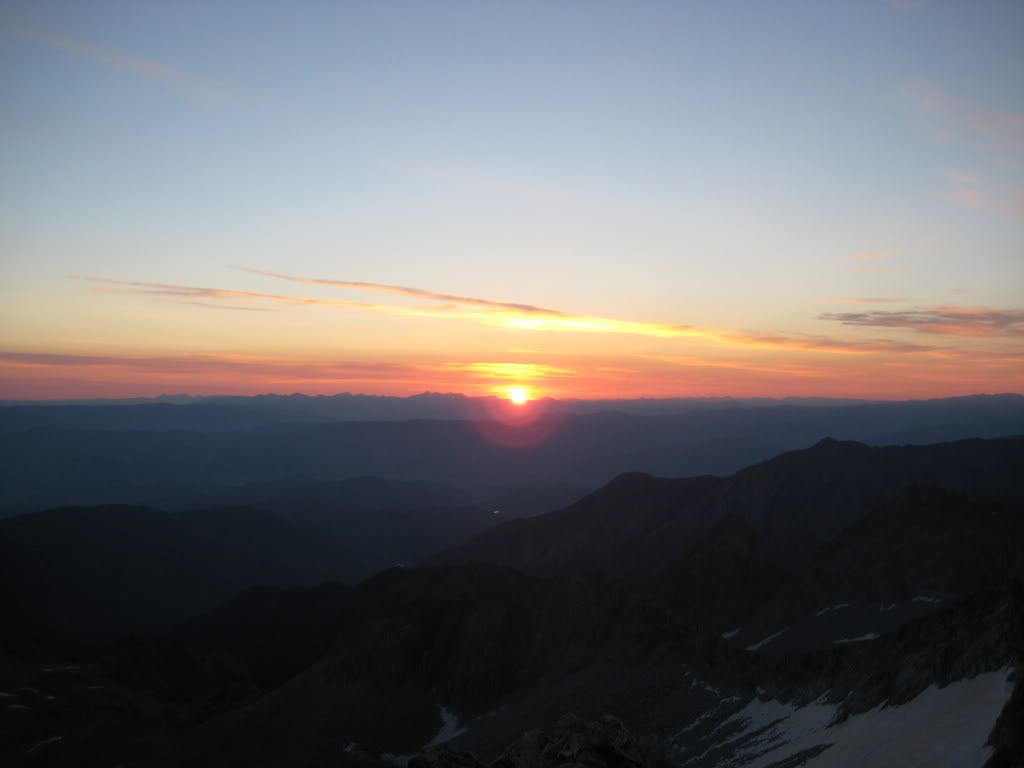
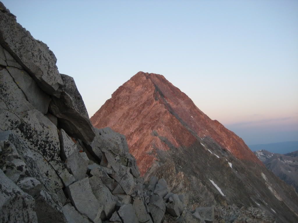
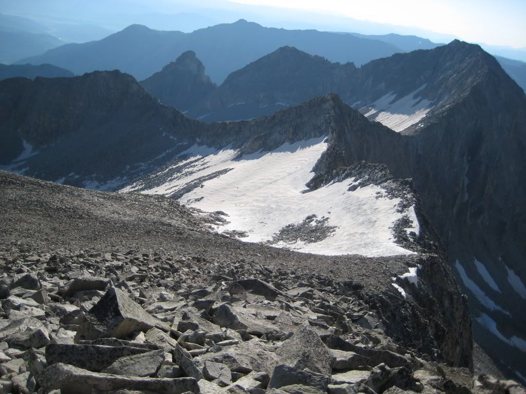
We continued bouncing up the talus fields towards K2 and found ourselves on top of K2 at 5:30 am. We waited a few minutes for the sunrise and found some excellent views and took some great pictures.
Soon enough we dropped down climbers right side of K2 and headed across the ridge towards the knife ridge.
Crossing the ridge is not as hard as people make it out to be. The easiest way is to put your feet on the left side and your hands on the crest and shuffle/climb across. The next best option is probably to just walk over it. Being my 3rd time on this thing, that's what I chose to do.
As soon as we crossed the ridge we just followed the ridge line for a while, while it gains very little elevation. We followed the ridge and at the point where the standard route splits off.
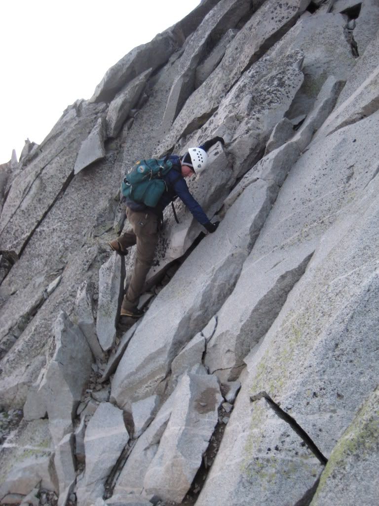
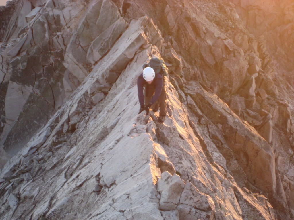
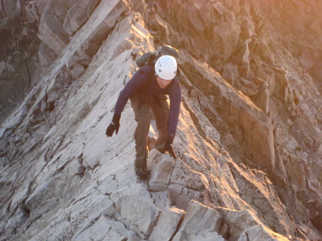
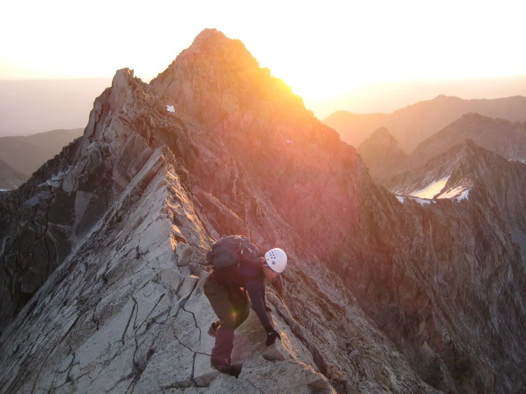
Tyler took the cairned route, and I took what has become my favorite route on almost any 14er, the ridge direct which is class 4 for most of the rest of the climbing.
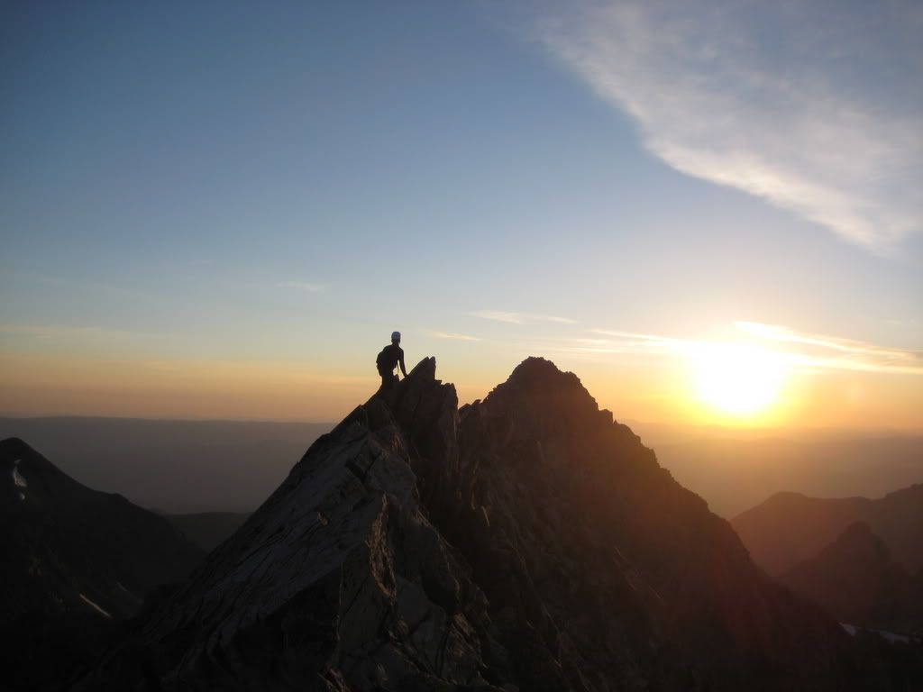
I topped out on the summit about 10 min ahead of Tyler. I topped out at 6:35 am.
We were the first on the summit and spent about a half hour there enjoying it to ourselves.
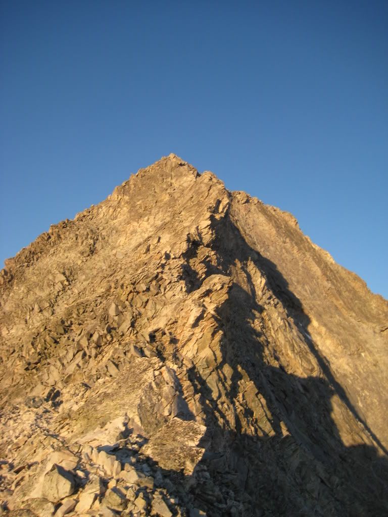
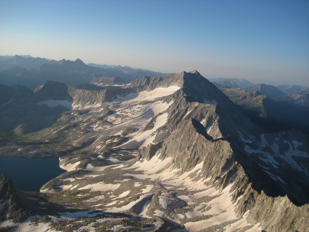
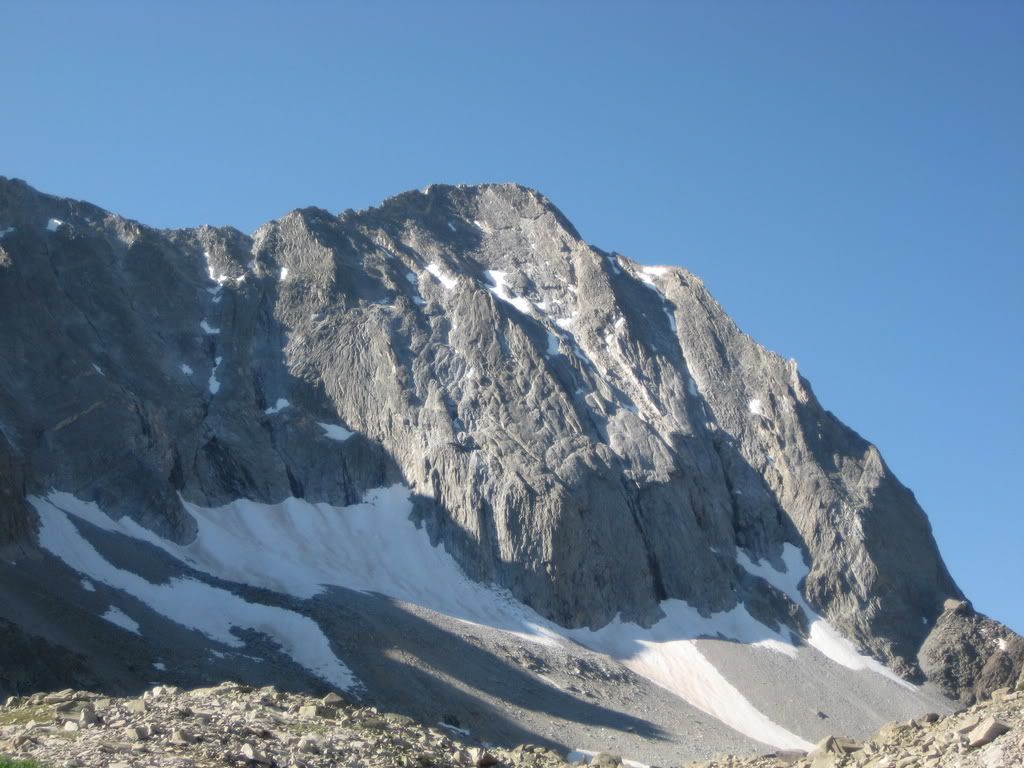
Here is a view of snowmass
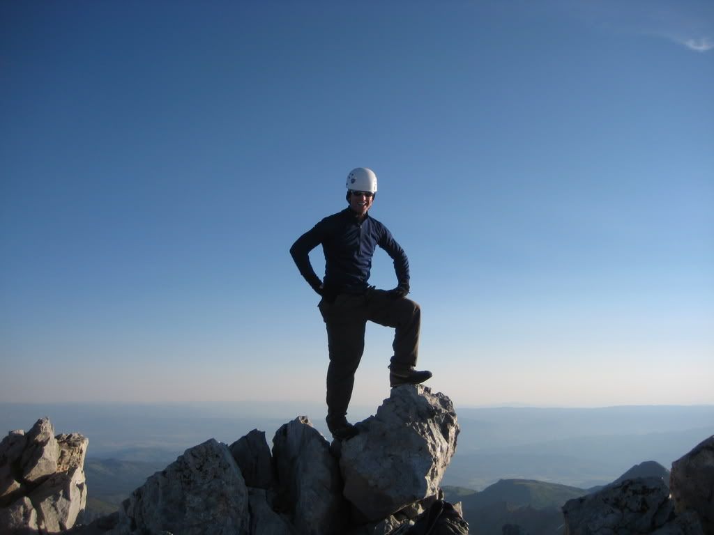
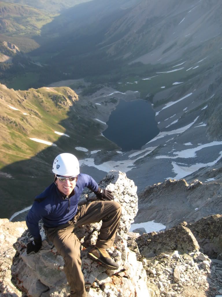
Couple summit shots of Tyler
We started to hear voices of other climbers, and decided to take off and let them have the summit. We left the summit a little after 7 am and went down the standard route. We met the other climbers about 400 feet below the summit, just in time for us to be off of the worst rockfall area with them below us.
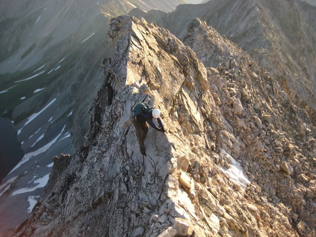
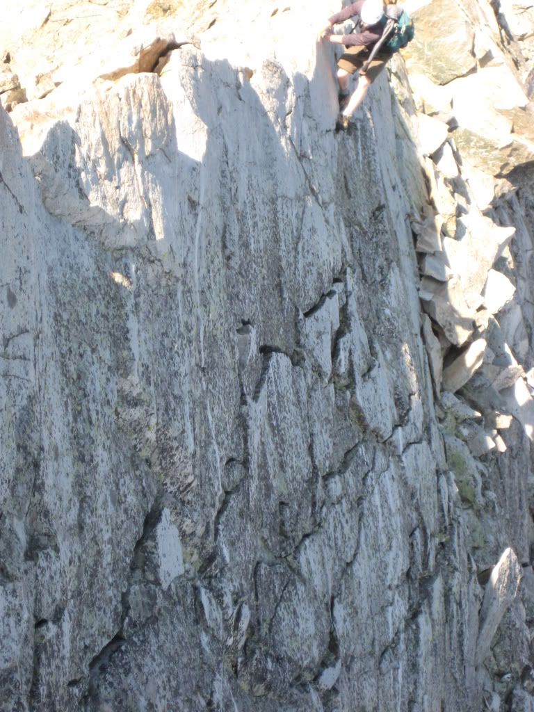
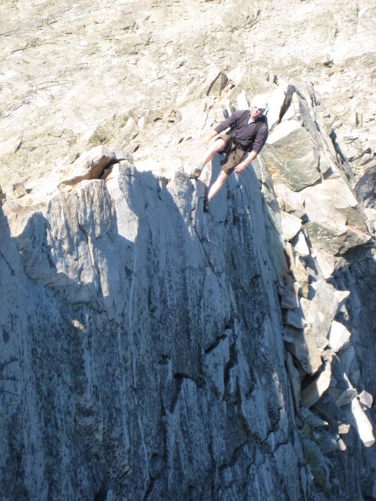
A fun picture of the knife edge. (note: this is not the actual steepness)
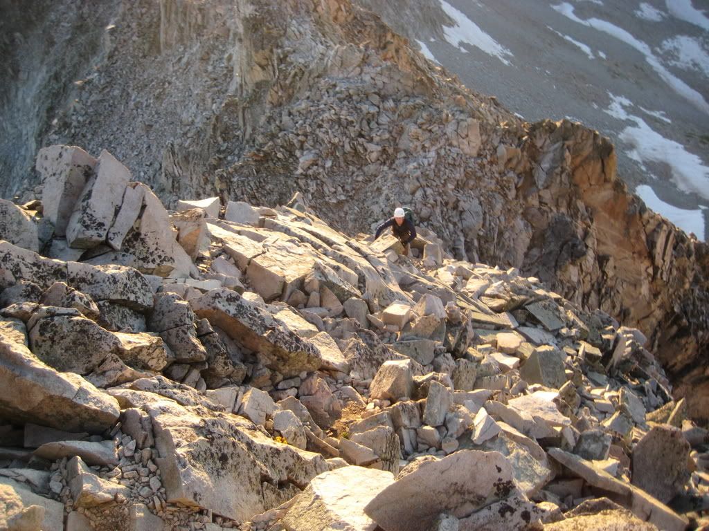
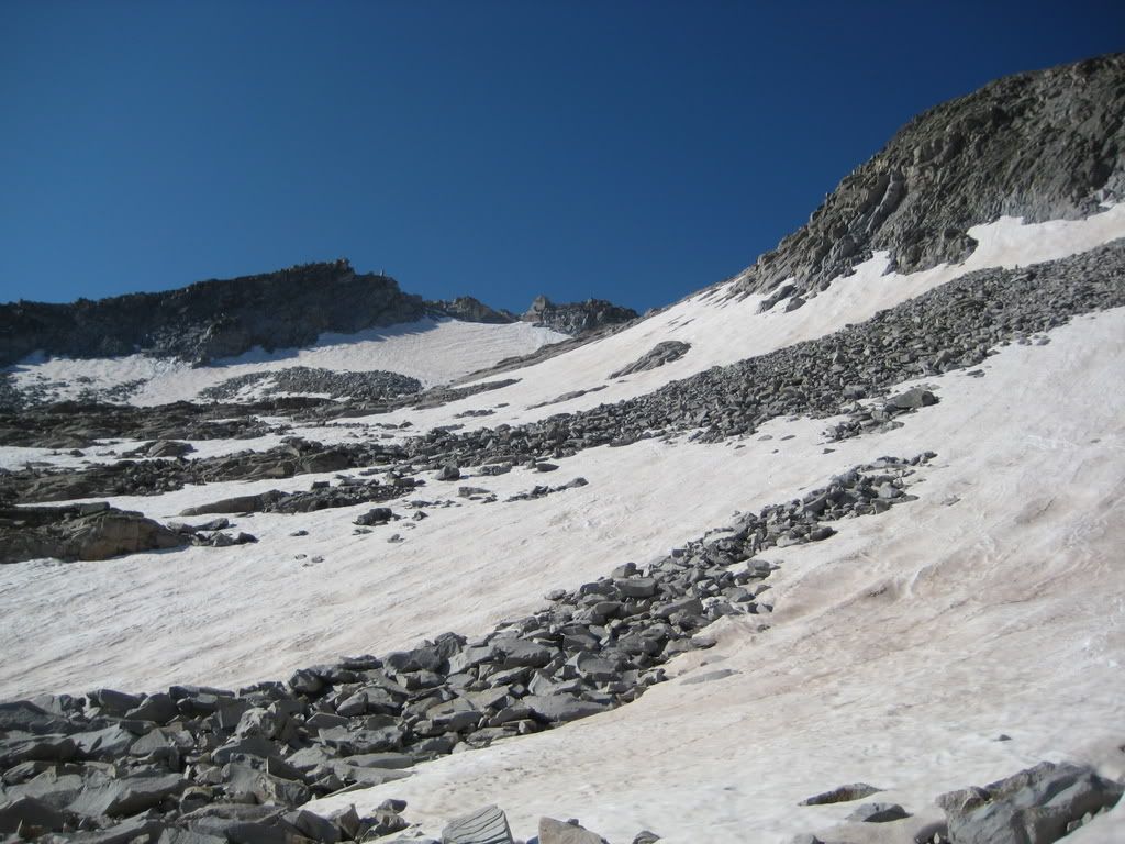
We were at K2 in no time and ran down the scree towards what is left of the snow.
We boot skied down the basin all the way to where we needed to hit the traverse back to the saddle. About the time we were ready to start our traverse we ran into the Jamie's somewhere around 12,500 in the basin, after a little conversation we headed back up to the daly saddle. We walked down the trail towards the lake and were relieved when the knee pounding was over for a while.
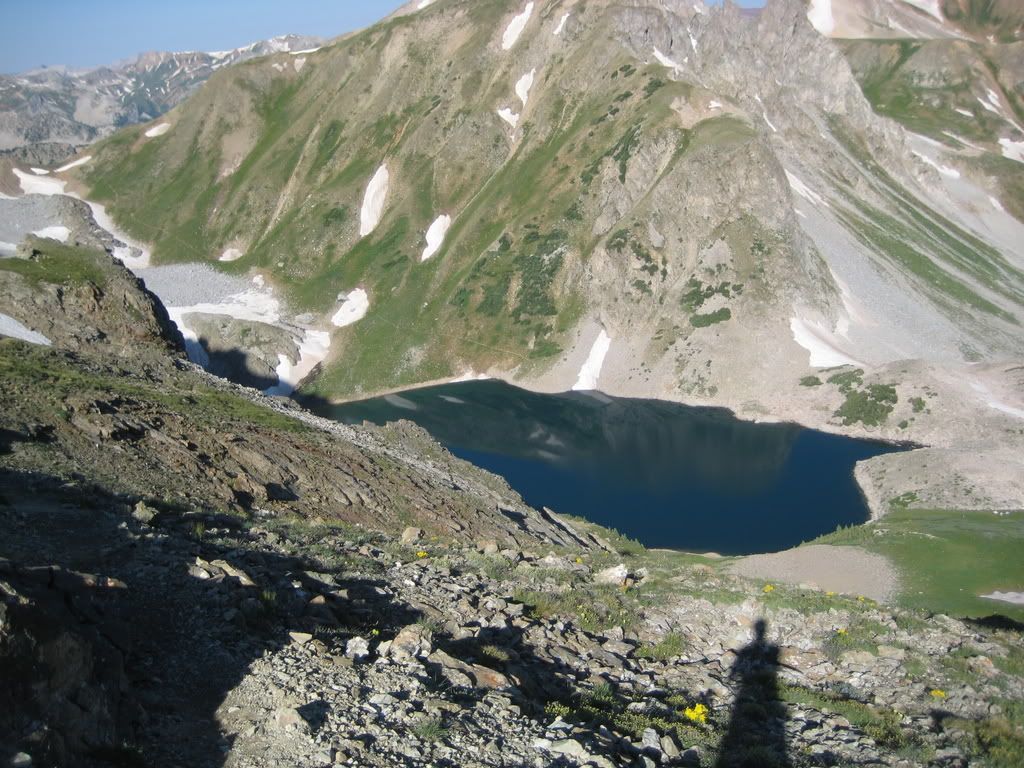
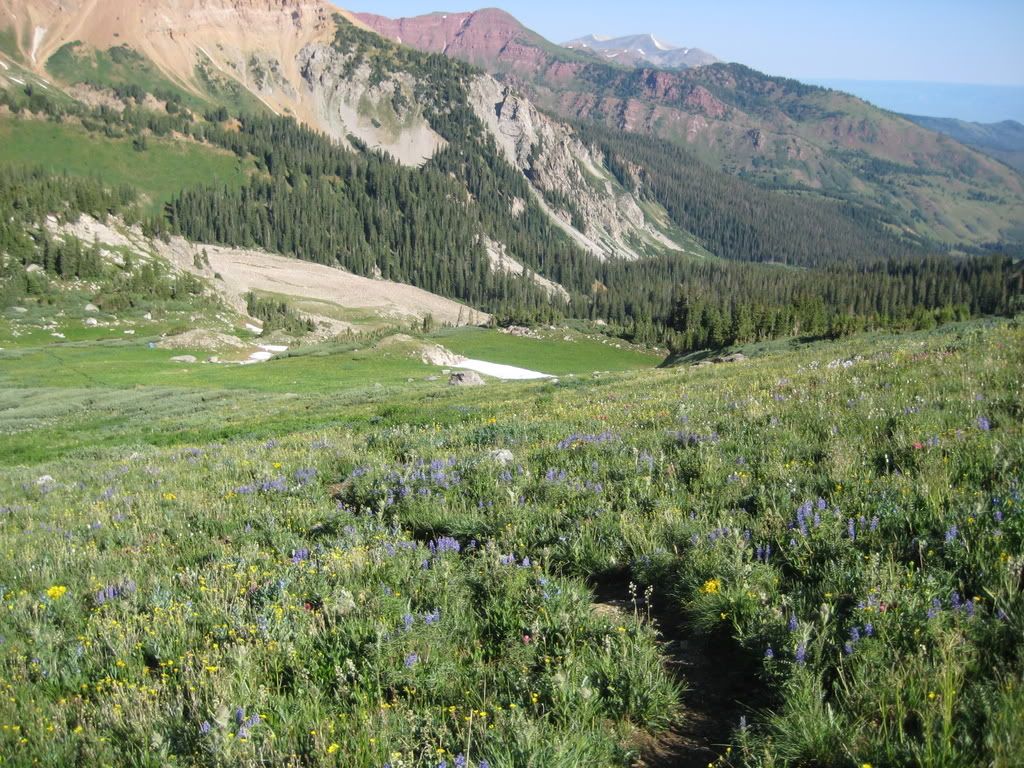
The wildflowers right now are absolutely amazing up there and we enjoyed them as we walked back down the trail.
We kept a steady pace, but constantly had to turn around to look at the amazing scenery and the view of the peak we just climbed.
We crossed the creek and made for the trail junction. We hit the ditch trail and the last 1.5 miles went by quickly. We arrived at the car at around 10:55 am, making for a round trip time of 8 hrs 50 minutes.
Nothing like a beer at 11 am!
At this point Tyler had been up for something like 28 hrs straight...nice work!
Great stuff! I plan to be there in a few weeks and you've already got my palms sweating prematurely.
”Crossing the ridge is not as hard as people make it out to be.” I hope you're right! Maybe this section is just more mental than physical. Problem is, I'm furiously working on that mental part.
Jamie- Let's just organize a Double date sometime...you and Jamie, me and my lady friend, it'll be good.
Aubrey-Don't sike yourself out, you're gonna be fine. There are ample places to put your feet and hands, and you are going to get by it and say ”What the hell was I worried about?”
Mark: No I didn't photoshop them, I just took the two funny pictures at the same angle as the knife edge slants, I tried to keep the sky out of the picture, which made it look vertical.
Cmon bill: you could do it in a day, but it might help to just carry one camera...
Thanks Joey: I don't think you need to worry to much about it. All it comes down to is focusing on the climbing rather than the exposure
Nice photos, Jordan. The ”funny” knife edge pic cracked me up. I like the differences between yours and Jaime's TRs--two solid perspectives on the same thing.
Aubrey--You Can Do It! You gotta believe. If I go first, you won't have any problem after watching such a (not) graceful and polished climber make it.
That must have really been breathtaking to see in person. The knife edge ones are great too. I'll send those to my mom...she'll pee her pants. It was great to finally meet you! I'll have to find some sort of 'JC Climbing Bootcamp' to enroll in so we can climb with you one of these days soon!
Caution: The information contained in this report may not be accurate and should not be the only resource used in preparation for your climb. Failure to have the necessary experience, physical conditioning, supplies or equipment can result in injury or death. 14ers.com and the author(s) of this report provide no warranties, either express or implied, that the information provided is accurate or reliable. By using the information provided, you agree to indemnify and hold harmless 14ers.com and the report author(s) with respect to any claims and demands against them, including any attorney fees and expenses. Please read the 14ers.com Safety and Disclaimer pages for more information.
Please respect private property: 14ers.com supports the rights of private landowners to determine how and by whom their land will be used. In Colorado, it is your responsibility to determine if land is private and to obtain the appropriate permission before entering the property.