Download Agreement, Release, and Acknowledgement of Risk:
You (the person requesting this file download) fully understand mountain climbing ("Activity") involves risks and dangers of serious bodily injury, including permanent disability, paralysis, and death ("Risks") and you fully accept and assume all such risks and all responsibility for losses, costs, and damages you incur as a result of your participation in this Activity.
You acknowledge that information in the file you have chosen to download may not be accurate and may contain errors. You agree to assume all risks when using this information and agree to release and discharge 14ers.com, 14ers Inc. and the author(s) of such information (collectively, the "Released Parties").
You hereby discharge the Released Parties from all damages, actions, claims and liabilities of any nature, specifically including, but not limited to, damages, actions, claims and liabilities arising from or related to the negligence of the Released Parties. You further agree to indemnify, hold harmless and defend 14ers.com, 14ers Inc. and each of the other Released Parties from and against any loss, damage, liability and expense, including costs and attorney fees, incurred by 14ers.com, 14ers Inc. or any of the other Released Parties as a result of you using information provided on the 14ers.com or 14ers Inc. websites.
You have read this agreement, fully understand its terms and intend it to be a complete and unconditional release of all liability to the greatest extent allowed by law and agree that if any portion of this agreement is held to be invalid the balance, notwithstanding, shall continue in full force and effect.
By clicking "OK" you agree to these terms. If you DO NOT agree, click "Cancel"...
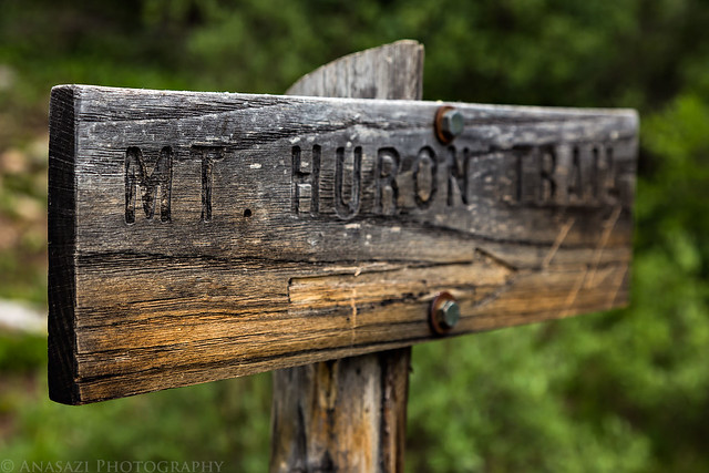
This weekend I set out to climb my first 14er of the season. I chose to try Huron Peak since it's in an area of the Sawatch Range that I haven't really spent much time in, plus it's not supposed to be too difficult of a hike which would be a good warm-up for me since I haven't hiked at this elevation since last summer. At 14,003 feet, Huron Peak is ranked 52 out of the 53 ranked peaks over 14,000 feet in Colorado. I had originally planned to climb Huron Peak over the Fourth of July weekend, but unfortunately I got a pretty bad cold that kept me home for that entire weekend, so I was looking forward to making it up this weekend.
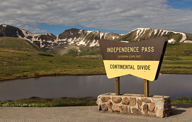
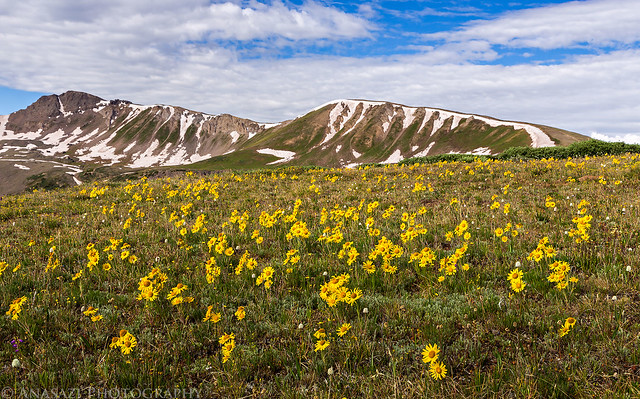
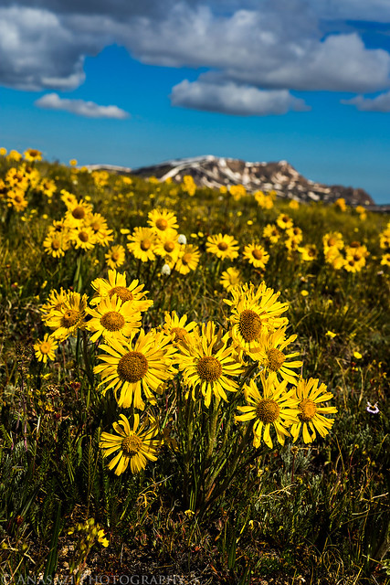
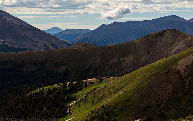
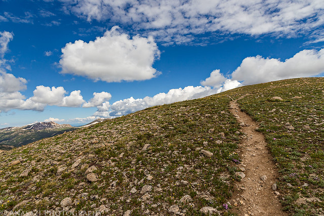
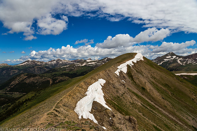
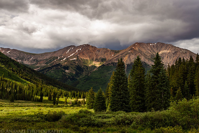
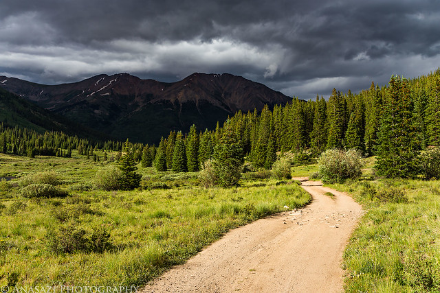
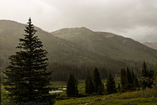
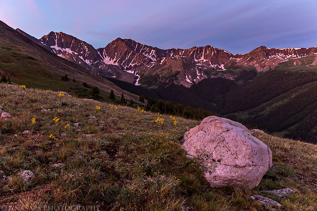
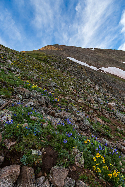
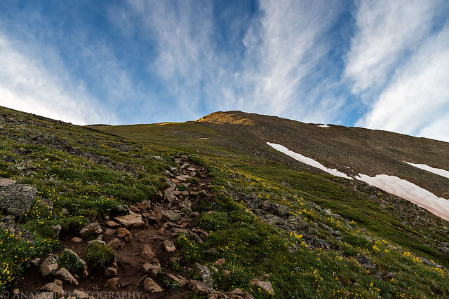
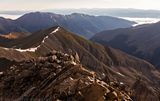
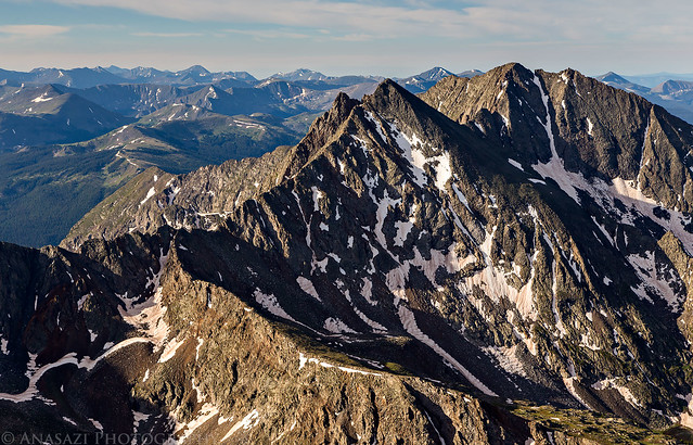
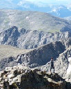
I left home early on Saturday morning with plans to hike Huron Peak by myself on Sunday morning. I drove through Glenwood Springs and Aspen so I could take Independence Pass on the way there. I decided to stop at Independence Pass so I could hike over to an unranked 13er unofficially named Igloo Peak which sits at 13,060 feet along the Continental Divide. I figured it would be an easy ridge hike from the 12,095 pass that would help me get acclimated for Huron Peak the following day. There were plenty of wildflowers and great views along the way.
Independence Pass at 12,095 feet along the Continental Divide. Igloo Peak is the high point just left of center in the background.
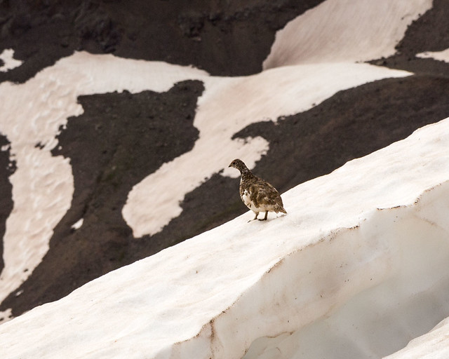
I spotted this White-Tailed Ptarmigan on a snow drift just below the ridge. He didn't stick around long or let me get very close, so this is the best photo I got.
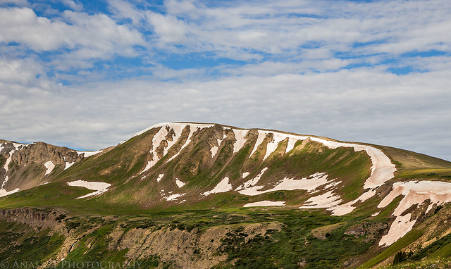
Looking back across the first high point (12,812 feet) I crossed on the way to Igloo Peak with the Geissler Mountains and Twinning Peak in the background.
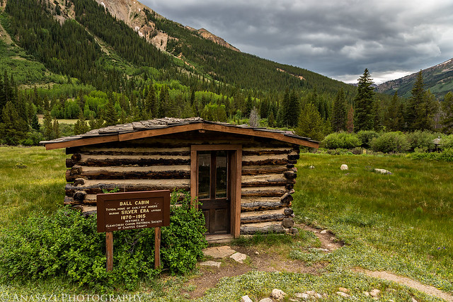
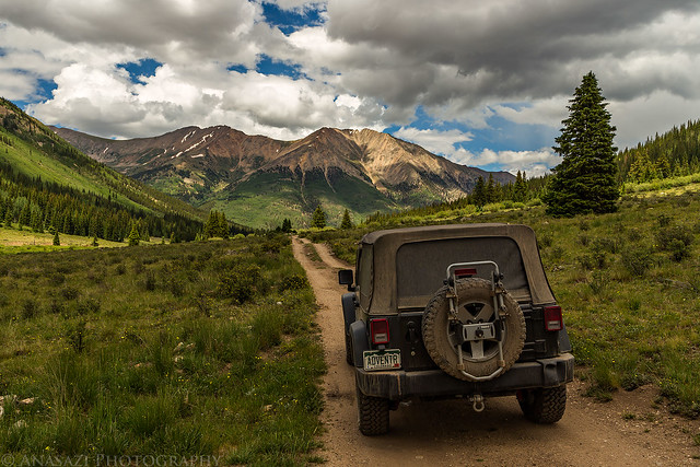
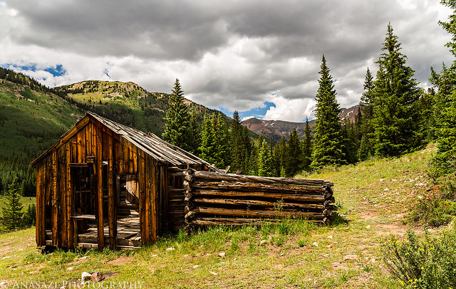
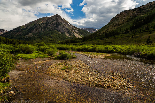
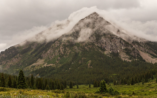
After finishing the short hike I continued my drive to Leadville where I grabbed a late lunch from High Mountain Pies before driving south to Clear Creek and then Winfield. From Winfield I took the high-clearance road up the South Fork and found a nice campsite near the old Banker Mine, which was shortly before the Huron Peak trailhead. I explored the area a little before the afternoon storms started to rain down.
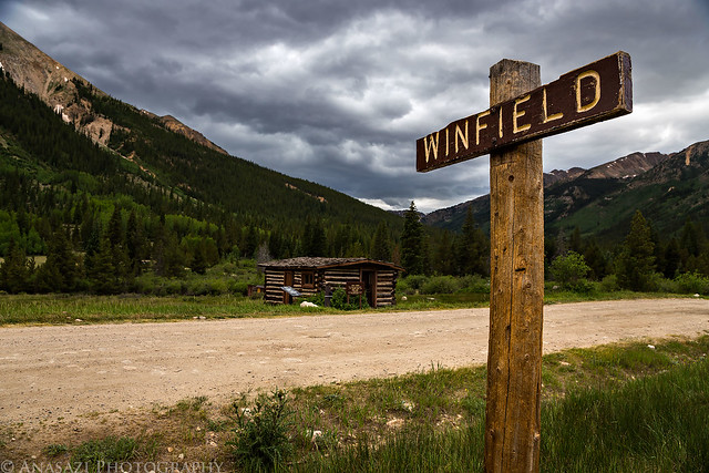
On my way to find a campsite near the trailhead for Huron Peak, I passed through the old townsite of Winfield.
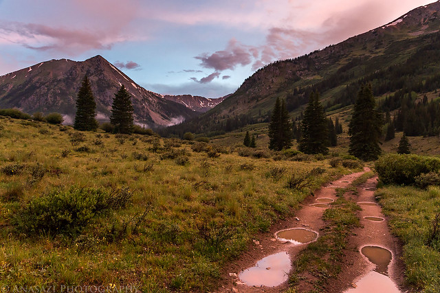
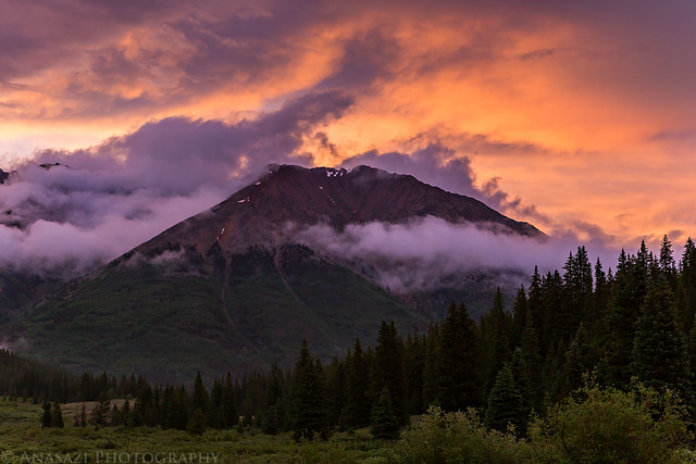
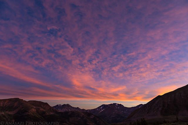
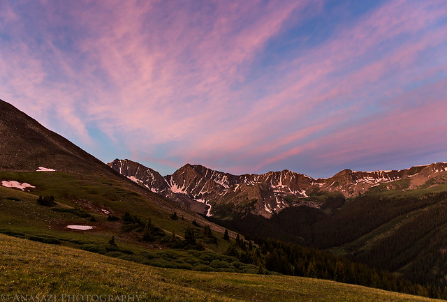
Later in the evening it looked to me like sunset was going to be a bust, so I decided to try and get to bed early since I was planning on a very early start in the morning. After laying in my tent for a while listening to the rain, it finally stopped. I decided to look outside and saw a nice sunset was starting to happen. I quickly slipped on my sandals and grabbed my camera for a few photos. When the light was gone, I got back into my sleeping bag and tried to get some sleep.
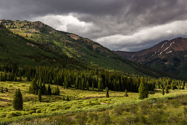
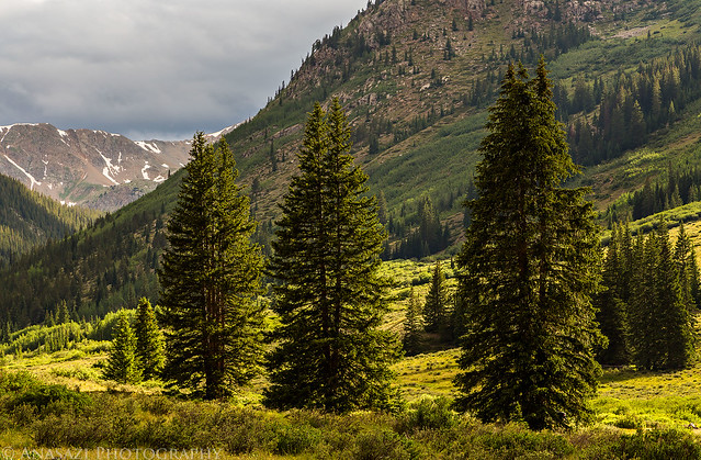
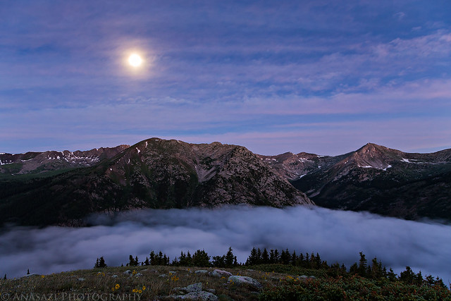
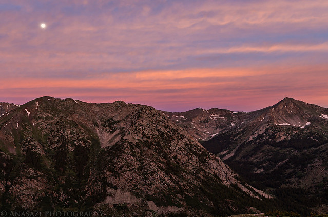
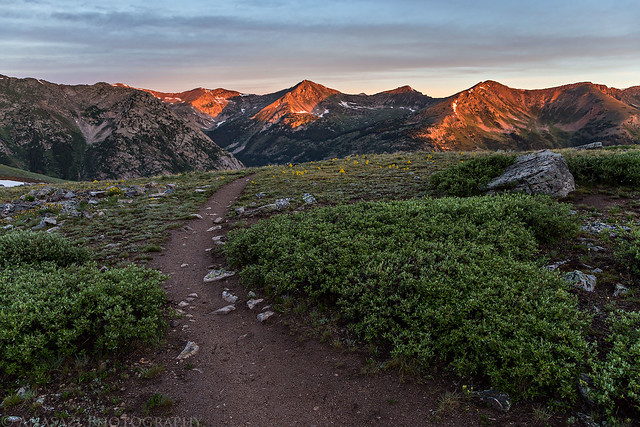
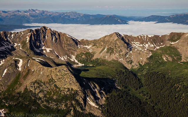
I had set my alarm for 4:00am on Sunday morning, but woke up a few times throughout the night. At 3:30 I decided to stay up and get started since I was feeling pretty wide awake. After a quick breakfast I was on the Huron Peak trail before 4:00am. I was hoping to hike by the light of the Super Moon this morning, but the clouds above prevented that, so I had to use my headlamp. However, once I got around treeline, I broke free of the low clouds and was treated to an amazing view of the cloud-filled valley below with the bright full moon above. I didn't bring my tripod with on this hike, but I did manage to find a rock to set my camera on for a few photos in the low light.
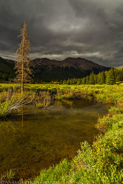
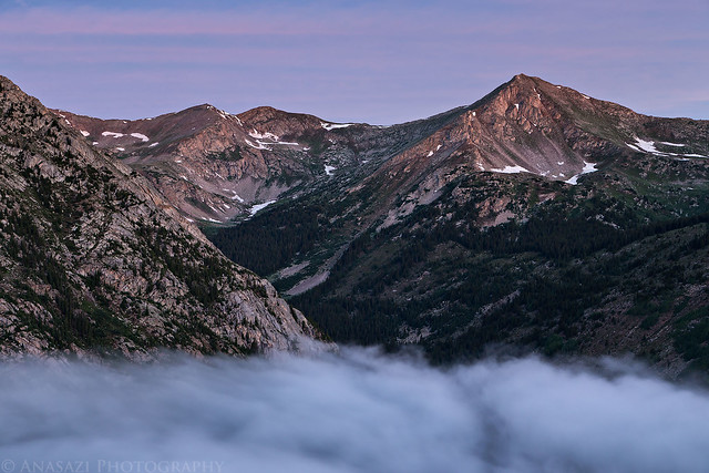
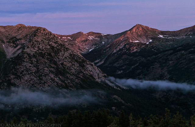
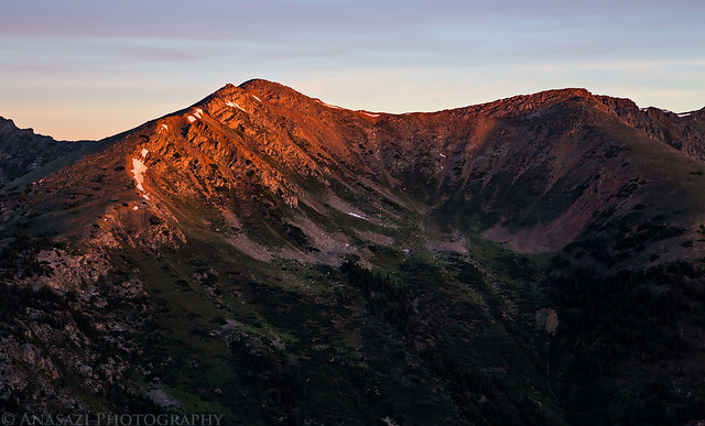
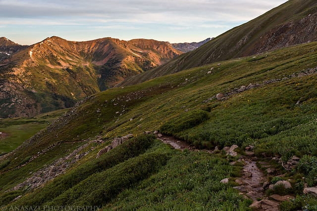
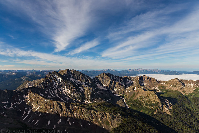
Since I had nice views of the surrounding peaks from this area just above treeline, I decided to stop here for a while and wait for sunrise. I knew if I continued on towards the top I wouldn't have as nice of a view when the sun came up. I was hoping the low clouds would stick around for the sunrise, but they dissipated before the sun came up. It was still a very nice sunrise.
The Super Moon over the cloud-filled valley below.
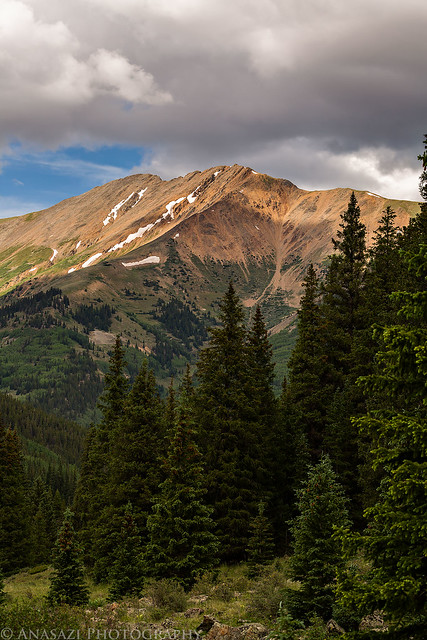
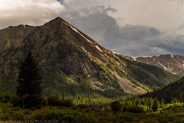
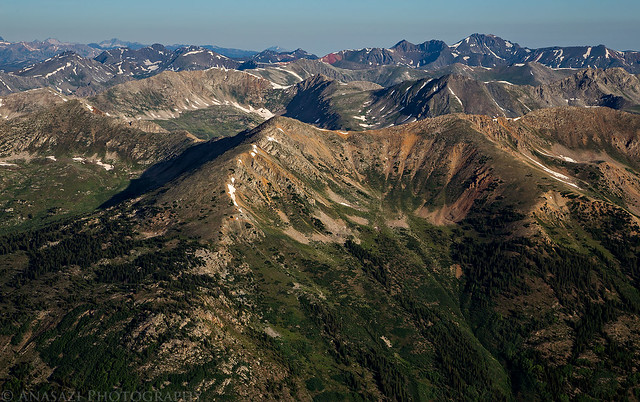
When the sun was finally up I continued my hike to the top of Huron Peak. The climb was a little tough for me since this was my first 14er of the year, but I made it to the top around 7:30am. It wasn't very cold out and there was very little wind, so I took my time and enjoyed the view from the top for a little while before starting the hike back down.
When I made it back to the trailhead parking area I got to do my good deed for the day. Parked next to me was a pickup truck with three guys who had passed me on the trail when I was photographing the sunrise. Apparently they had pulled too far forward and managed to get themselves stuck on a few large rocks. They had tried to jack up their vehicle and place sandbags under the front tires, but that didn't work. The owner asked if I would be able to help, so I got out my tow strap and gave them a quick tug to get them free. I stopped back by my campsite on the way out and loaded up my gear into the Jeep to start my drive back home. It was still before 10:00am when I left. I drove back over Independence Pass and made sure to grab a burger at GRIND in Glenwood Springs on my way. One 14er down for the year, and four more planned!
Your fantastic pictures remind me to spend some time doing that on my next hike. I went up Huron via Lulu Gulch ten days ago and thoroughly enjoyed it. I forgot to capture it though; thanks for reminding me.
Beautiful photos! Huron is still one of my favorites. I just got a nice camera, but I have no idea how to use it properly. I hope I can learn to take pics as amazing as these!
I usually take 100's of photos every time I'm on a hike, and never leave for one without at least one of my cameras...Your pics are truly stunning and very well composed. What camera/lenses where you using if you don't mind me asking?
What a nice report and photo array. Your timing was perfect, as we did climb it on the 5th of July, along with about 100 other people we did not know. There had to be 40 on the summit! We decided to take the back way down, which had no people at all, but the upper parts of the trail were tough to locate at times. nice job!
Nice job with all of your photo work on Huron. I am inspired to capture similar shots in a couple of weeks. Heading to the Sawatch with my sons for a week of climbing. Beginning with Huron. Hope to camp near the lower 2WD trailhead near Lulu Gulch at Winfield. Did you camp near there? Any tips regarding campsites? Thanks!
Your photo composition pretty much tells the story for me. The bokeh on the yellow flower shots is really nicely done. Great work! I enjoyed your report.
Thanks for posting. Huron scenery is one of my favs.
Caution: The information contained in this report may not be accurate and should not be the only resource used in preparation for your climb. Failure to have the necessary experience, physical conditioning, supplies or equipment can result in injury or death. 14ers.com and the author(s) of this report provide no warranties, either express or implied, that the information provided is accurate or reliable. By using the information provided, you agree to indemnify and hold harmless 14ers.com and the report author(s) with respect to any claims and demands against them, including any attorney fees and expenses. Please read the 14ers.com Safety and Disclaimer pages for more information.
Please respect private property: 14ers.com supports the rights of private landowners to determine how and by whom their land will be used. In Colorado, it is your responsibility to determine if land is private and to obtain the appropriate permission before entering the property.