I am considering hiking Kings Peak in Utah this summer... but i can't find much specific information online. summitpost.com has trip reports but milages and trail maps are vague. i'm curious if anyone has done this climb and if you can give me more specific information.
i'm understanding it's a (minor) class 3 and done (realistically) in 4-days with an overnight at dollar lake. can anyone point me to trail maps, profiles or any other info that might be helpful?
thanks in advance!
Kings Peak in Utah
Forum rules
- This is a mountaineering forum, so please keep your posts on-topic. Posts do not all have to be related to the 14ers but should at least be mountaineering-related.
- Personal attacks and confrontational behavior will result in removal from the forum at the discretion of the administrators.
- Do not use this forum to advertise, sell photos or other products or promote a commercial website.
- Posts will be removed at the discretion of the site administrator or moderator(s), including: Troll posts, posts pushing political views or religious beliefs, and posts with the purpose of instigating conflict within the forum.
For more details, please see the Terms of Use you agreed to when joining the forum.
-
droidly

- Posts: 144
- Joined: 10/24/2007
- 14ers: 14
- Trip Reports (9)
Kings Peak in Utah
----------------------------------------------------------
we're at the end of the map. there be monsters here. ~barbossa
we're at the end of the map. there be monsters here. ~barbossa
-
rob runkle

- Posts: 804
- Joined: 6/12/2006
- 14ers: 58 2
- 13ers: 41
- Trip Reports (48)
Re: Kings Peak in Utah
My "Highpoints of the United States" book has this...
28.8 miles RT.
5350 feet gained
Class 2
28.8 miles RT.
5350 feet gained
Class 2
-
Gahugafuga

- Posts: 291
- Joined: 2/25/2007
- 14ers: 53
- 13ers: 98
- Trip Reports (2)
Re: Kings Peak in Utah
Look around online or at places like REI for a book called "Utah Thirteeners" by David Rose. It covers in gory detail multiple routes to Kings Peak. By and large, all the routes are similar in length and gain to what is quoted above. I haven't been up that way yet, but I'm told to expect crowds, mosquitoes and a long, mellow walk to get up to Kings.
-
Aubrey

- Posts: 2011
- Joined: 7/14/2005
- 14ers: 58
- 13ers: 20
- Trip Reports (128)
Re: Kings Peak in Utah
Climbed it last summer. Here's my trip report:
http://www.14ers.com/php14ers/triprepor ... m=tripmain" onclick="window.open(this.href);return false;
http://www.14ers.com/php14ers/triprepor ... m=tripmain" onclick="window.open(this.href);return false;
-
Joe Miner

- Posts: 199
- Joined: 8/18/2006
- 14ers: 14
- 13ers: 2
- Trip Reports (0)
- Contact:
Re: Kings Peak in Utah
Great TR Aubrey. My plans are to snag this guy in July. Thank you.
Explore, Dream & Discover..............
-
Whistle Pig
- Posts: 44
- Joined: 8/5/2007
- 14ers: 57
- 13ers: 12
- Trip Reports (0)
- Contact:
Re: Kings Peak in Utah
I climbed Kings Peak last September. I had some trouble finding the Nat Geo trail map, but stopped by a bookstore in Vernal to get a Bureau of Land Management map. I don't know why, but the roundtrip varies greatly from all the information out there. In my opinion, it's 24 miles RT, but I didn't have anything to guage this by, just my judgement. I would recommend climbing the peak in late June. Aubrey's shortcut #1 would be an awesome snow climb, and would probably cut out 4-5 miles RT from the standard route. I can show you exactly where the shortcut is if you are interested. I wouldn't take this shortcut later in summer though, I ran into a guy who said he did it a few years ago, and he thought he was lucky to walk away unscathed.
-
Whistle Pig
- Posts: 44
- Joined: 8/5/2007
- 14ers: 57
- 13ers: 12
- Trip Reports (0)
- Contact:
Re: Kings Peak in Utah
Oh, and I would consider it a class 2. It's debatable that it's a class 2+ closer to the top.
-
skibum88
- Posts: 5
- Joined: 7/24/2008
- 14ers: 42
- Trip Reports (0)
Re: Kings Peak in Utah
I have done King's twice - 2001& 2007. Both times we hiked in and camped at Dollar Lake (9 to 10 miles but fairly flat). The next day we woke up and summited which is about 8 to 9 miles round trip then broke camp and walked out. The summit can be approached from Dollar Lake via Anderson Pass on a nice pack trail that usual has quite a bit of traffic. The pass is about 2 miles due south from Dollar Lake. Once you crest Anderson pass there is a side trail that heads SW over a ridge and connects back to the main trail after a mile or so. This short cut saves about 1.5 miles and a decent amount of vertical. On the decent we scrambled down a scree gully that leads back into the main valley where Dollar Lake is located. This gully is north of the main trail where the trail turns south up to the summit. From the top of the gully you can see back to camp at Dollar Lake. This gully is steep and loose so be careful and use hiking poles. We saw people climbing up this route which I thought was crazy (one step up two steps back). Once back in the valley you can travserse north along some mountain lakes to the main trail. You can also return over Anderson pass if scree is not your friend. Sorry for the rough description but we really didn't have any problems route finding. There are always lots of people on the mountain in July and August so it is really hard to get lost. Later in the year (August) is better because the bugs die down. Have fun

Re: Kings Peak in Utah
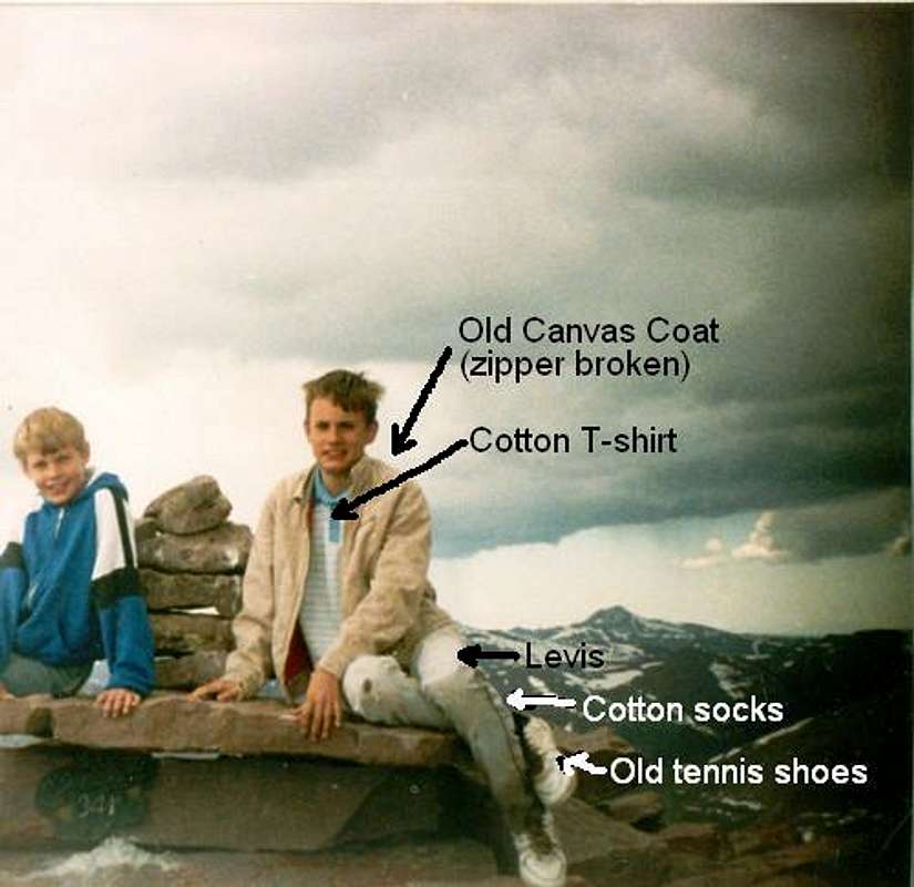
I've visited the area many, many times between 1987-2001 (we moved to CO in 2001). Here's me on top at age 13:I am considering hiking Kings Peak in Utah this summer... but i can't find much specific information online. summitpost.com has trip reports but milages and trail maps are vague. i'm curious if anyone has done this climb and if you can give me more specific information.
Anyway.......
i'm understanding it's a (minor) class 3 and done (realistically) in 4-days with an overnight at dollar lake.
Class 2+ and 3 days is more than enough.
Henrys Fork is scenic and by far the most crowded route because it's slightly shorter than some other routes. 2 long or 3 easy days on average. Take 3 if you have them as you can take many side trips.can anyone point me to trail maps, profiles or any other info that might be helpful?
Upper Yellowstone Creek is just as scenic and not as crowded, especially near Kings Peak. The lakes as far as Five Point Lake are fairly crowded, but the crowds thin out above this. It is a highly recommended route. 3-4 days on average.
The Uinta River route past Chain Lakes and Atwood has different scenery. The peaks aren't as rugged from that direction but there are many meadows that are miles and miles of flower gardens and the lakes are much more numerous and much larger than on some of the other routes so it's just as scenic. 4-5 days on average. You can make a longer loop using the trail right up the Uinta River too (5-6 days).
The West Fork White River is similar to the Uinta River Route and also really nice. 4-5 days on average.
The Swift Creek Route via the basins west of the Kings-Emmons Ridge is the best route to avoid the crowds and is highly scenic. 3-4 days.
Teh Kings Emmons Ridge is another great route (that can be made into a loop from the Uinta River or Swift Creek Routes) is another great route covering several peaks, but it a more rugged trip than any of the routes mentioned above. It obviously has the best views (since it covers so many peaks), but you have to be careful of the weather. 4-5 days depending on where you start.
The only route I would not recommend is the trail right along the Yellowstone River (mentioned in the book Utah 13ers). It's in the trees most of the way so it doesn't have as good of views as the other trails mentioned above.
I'm old, slow and fat. Unfortunately, those are my good qualities.

