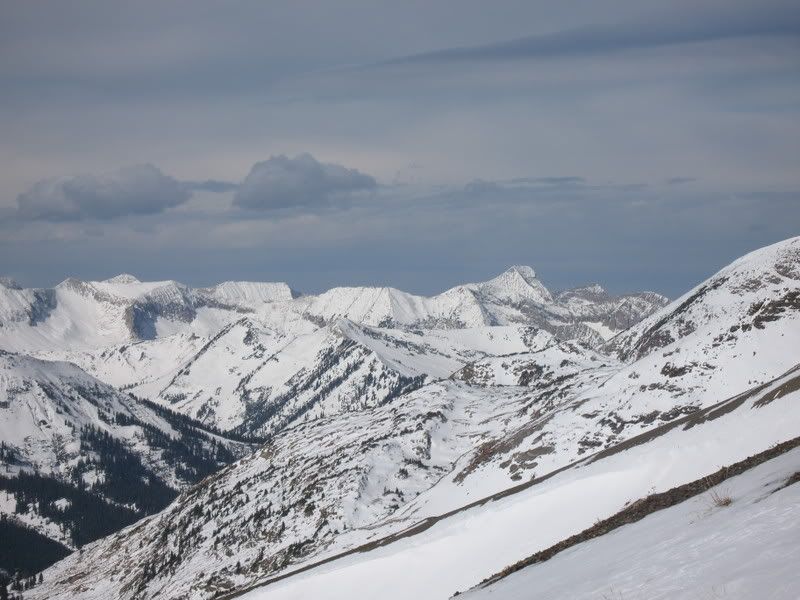
Chair Mountain Info
Forum rules
- This is a mountaineering forum, so please keep your posts on-topic. Posts do not all have to be related to the 14ers but should at least be mountaineering-related.
- Personal attacks and confrontational behavior will result in removal from the forum at the discretion of the administrators.
- Do not use this forum to advertise, sell photos or other products or promote a commercial website.
- Posts will be removed at the discretion of the site administrator or moderator(s), including: Troll posts, posts pushing political views or religious beliefs, and posts with the purpose of instigating conflict within the forum.
For more details, please see the Terms of Use you agreed to when joining the forum.
-
ktimm

- Posts: 634
- Joined: 6/19/2006
- 14ers: 24
- 13ers: 25
- Trip Reports (0)
According to a map I have it looks like you can avoid private property if you are willing to do some bushwhacking. It looks like if you start up chair creek you should be able to avoid it. Also Ragged Mountain trail is well known (even though it goes through private property) and you can then get into the buck creek basin (not sure what access is from there). Gerber wants to try Dark Canyon because he is a sick.
-
ktimm
- Posts: 634
- Joined: 6/19/2006
- 14ers: 24
- 13ers: 25
- Trip Reports (0)
-
Kane

- Posts: 236
- Joined: 6/3/2006
- Trip Reports (0)
- Contact:
Chris, Don't forget to add that section of ridge from Deep Creek to Ragged Peak. That's another skinny one that will add another mile RT.Chris Gerber wrote:Yeah... ever since you posted that photo of that ridge, I've been..um...drawn to itKane wrote:Chris Gerber wrote:Sorry I don't have more info... it's been on my list for a long time too, but I haven't climbed it yet. It seems like access from the McClure/Marble side is problematic at best. I've been considering an approach from the Dark Canyon side and making a long weekend of it... backpack in, set up camp and spend several days hitting all the cool stuff up there in the Raggeds.
- Chris
Hi Chris,
How would you climb Chair from Dark Canyon? Were you thinking of trying that ridge between Ragged and Chair? To bad you would have to run that same ridge back to your start up point. Its a long ridge, it's something like 2.5 miles and 5 miles RT.Not sure how feasible it would be though, as it looks really long and really exposed. With the typical West Elks loose rock it may be a nightmare.
Edit: You talking Ragged Peak or Ragged Mtn? I was thinking of climbing into the Deep Creek basin (which in and of itself may be a nightmare) and camping near the lakes at 11,100'. From there you could do Ragged Mountain as a day trip and then Ragged Peak as a day trip (assuming there are viable routes up each). The traverse from Ragged Peak to Chair looks to be about 1.7 miles each way, and could still be heinous.
I was talking Ragged Peak. I have been up Ragged Mountain and its nice but it's not as nice as the two twelvers that sky over Deep creek. Ragged Mountain isn't even ranked. The best part of Ragged mountain was the trip i took down into Milton Drainage. Talk about a place that doesn't get much traffic. It's scary pristine in there.
-
Kane
- Posts: 236
- Joined: 6/3/2006
- Trip Reports (0)
- Contact:
-
Kane
- Posts: 236
- Joined: 6/3/2006
- Trip Reports (0)
- Contact:
I remember Jennifer Roach responding to my Buck Creek approach idea once. She said something about how they had an "epic" descent down Buck Creek. They didn't use it as an ascent approach. Knowing how rugged that terrain is, that says enough for me.ktimm wrote:According to a map I have it looks like you can avoid private property if you are willing to do some bushwhacking. It looks like if you start up chair creek you should be able to avoid it. Also Ragged Mountain trail is well known (even though it goes through private property) and you can then get into the buck creek basin (not sure what access is from there). Gerber wants to try Dark Canyon because he is a sick.
-
Kane
- Posts: 236
- Joined: 6/3/2006
- Trip Reports (0)
- Contact:
Kevin, I've been up and down that road many, many times and i couldn't tell you were to start a hike up to Chair Basin. If your commited to climbing it from down there, I think the best way is to get permission from the Genter Mine. There's a trail that begins on their property that ascends up the steep slope that leads to Chair Basin. Otherwise your looking at an evilktimm wrote:According to a map I have it looks like you can avoid private property if you are willing to do some bushwhacking. It looks like if you start up chair creek you should be able to avoid it.
-
giarcd

- Posts: 750
- Joined: 1/13/2007
- 14ers: 22
- 13ers: 8
- Trip Reports (15)
Have skied the lower reaches of Chair Mountain hundreds of time and have yet to run into Private Property signs from County road 3! Granted I haven't been up really high,mabey there are signs way up there. I've run into" signs 'trying to access moutain from McClure Pass. Hope this info is some use. Contact me if I can help
-
cheeseburglar

- Posts: 2434
- Joined: 8/7/2006
- 14ers: 58 2
- 13ers: 79 2 1
- Trip Reports (8)
Well, it looks like you could start from Bogan Flats Campground, or somewhere nearby and cross over point 11,866, drop to a Saddle at about 11,400 and gain the east ridge that Gerry describes without crossing private property. Of course, it looks like about 5,500 vertical feet and could be a big bushwhack.iceman wrote:That would be great Cheeseburglar. Let me know what you find out or if you need any help. A group of us from Glenwood are planning a bike/camp/hike/climb for this weekend if we can get access.
I guess Gerry would have driven to the end of FS 898 and traversed east over to the east ridge through some private property. That would be more like 2,800 vertical.
Assuming that FS 898 has an easement, there are three property owners. There addresses are in Florida, Basalt and Redstone. If 898 doesn't have an easement there are two other owners, Oklahoma and Carbondale.
I'm not sure why you wouldn't go up the north ridge if you went to the end of 898, it may be dicey.
I can't go this weekend and don't know how to look up the phone numbers for these folks, if it's possible. In addition, I think it is the last weekend of hunting so they may be hesitant to grant access.
Let me know if you want the addresses and I'll pm them to you.
Good luck!
-
iceman

- Posts: 314
- Joined: 12/24/2006
- 14ers: 9
- Trip Reports (3)
Cheeseburglar. I think we will be holding off on this since I can’t find the owners phone numbers either. If we ever do get a chance to do this one I will try to remember to look you up. Maybe you can do the same. Just made a last minute decision to head over to Missouri, Belford and Oxford for the weekend.
-
iceman
- Posts: 314
- Joined: 12/24/2006
- 14ers: 9
- Trip Reports (3)
-
ktimm
- Posts: 634
- Joined: 6/19/2006
- 14ers: 24
- 13ers: 25
- Trip Reports (0)
-
iceman
- Posts: 314
- Joined: 12/24/2006
- 14ers: 9
- Trip Reports (3)

