| Peak(s): |
Unnamed 13627 - 13,627 feet "Anderson Peak" - 13,637 feet |
| Date Posted: | 07/07/2010 |
| Modified: | 07/24/2018 |
| Date Climbed: | 07/03/2010 |
| Author: | d_baker |
| Peak(s): |
Unnamed 13627 - 13,627 feet "Anderson Peak" - 13,637 feet |
| Date Posted: | 07/07/2010 |
| Modified: | 07/24/2018 |
| Date Climbed: | 07/03/2010 |
| Author: | d_baker |
| Bicentennial Weekend in the Sawatch |
|---|
|
July 3rd & 4th, 2010 Hikers: Carson Black & Darin Baker Gear: daypack w/Essentials Resources Used for Trip Planning: Gerry Roach's Colorado's Fourteeners guidebook (for directions to Grouse Canyon trailhead); Mike Garratt & Bob Martins' Colorado's High Thirteeners guidebook (referred to as G&M in the text); TOPO! software Day 1 Unnamed 13,626' Sawatch Range Trailhead: Grouse Canyon Route: E slopes via southern approach Distance: ~7mi RT Elevation Gain: ~4500' Time to Complete: ~7.5hrs (at a moderate pace) Day 2 Unnamed 13,631' a.k.a., "Anderson Peak" Sawatch Range Trailhead: Tellurium Creek Route: SW slopes to S/SE ridge Distance: ~7.5mi RT Elevation Gain: ~3750' Time to Complete: ~7hrs (at a moderate pace) Foreword After a successful May (with 7 new summits out of the Top 100), the month of June was just the opposite because I didn't summit anything! That's not to say I wasn't "successful" in what I was doing in June, because I was out climbing and hiking, but personal goals were set aside for other objectives. Nevertheless, my goals and high summits were on my mind and I wanted to start July off with me standing on top of a new peak, or two! But out of the 13 remaining peaks I have left in the Top 100, most of them (9) are in the San Juan's and I'm not going to be able to swing a trip down there anytime soon. And the other 4 peaks I have left are being saved for later dates, for various reasons. Therefore, I set my sights on some closer-to-home bicentennial peaks. In particular, peaks that Carson has on his dwindling bicentennial list. With four peaks to choose from in the Sawatch Range, these two unnamed 13ers became our goals for the weekend. I met Carson at his house on Friday afternoon, loaded my gear into his Westfalia van, and (after a stop at the liquor store for some adult beverages;) we were on our way to BV (Buena Vista) to van-camp at the trailhead. Day 1 UN 13,626' In Roach's 14er book, he describes the Grouse Canyon approach as an alternative to the "standard" hike up 14er Mt Princeton. The "standard" way up Mt Princeton (from the east) is one of my least favorite hikes on a 14er so I was curious about this approach, because when I hike Princeton again I'll likely use this approach. In fact, starting the day out, we had anticipated doing a traverse to Princeton after our 13er, but in the end, I was too lazy and uninterested in the traverse once we hit our summit. ....I digress. The start of the hike continues up an old road, which is well cairned in the beginning, and leads into Grouse Canyon. Like Roach describes, we left the canyon and headed east, up and above Grouse Creek. Where we headed up the steep bank isn't marked, nor is there much of a "trail" or at least in our experience there's not. We bush-wacked up the steep slope, and eventually we found a decent trail above, which is also cairned. Carson on the trail after our bushwack... 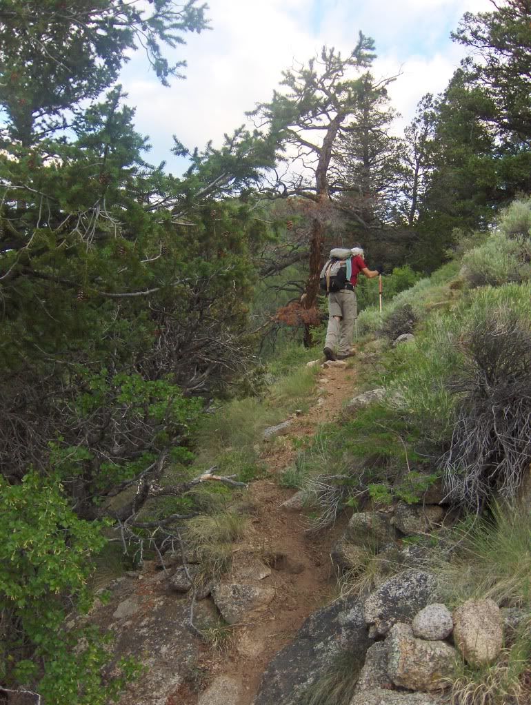 At times, the trail is not well defined as it is elsewhere, but cairns can still be found along the way. 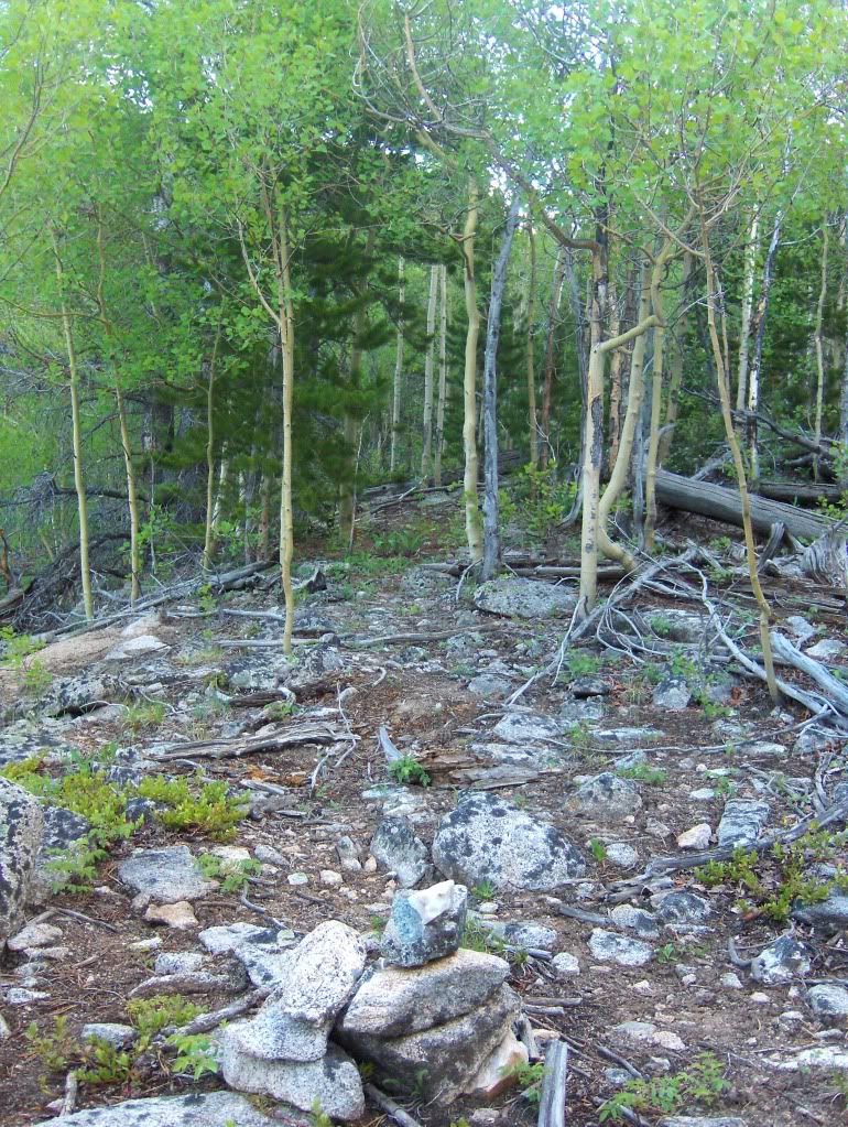 We continued on our N bearing until we came upon the drainage that angles towards the NE, which is shown on the map. The map indicates a stream, but currently it's dry, which it probably is most of the year, other than during spring snowmelt runoff. The drainage is the trail, and it is cairned. The trail goes up the drainage... 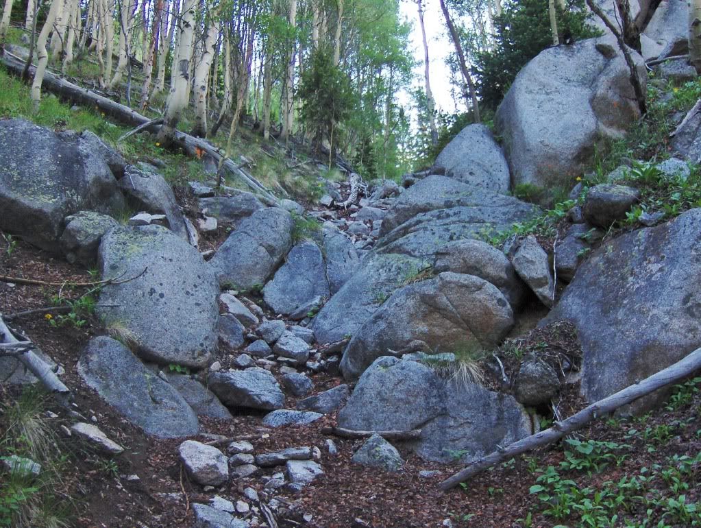 I think this is an Arnica, but I'm not sure if it's a Broadleaf or a Heartleaf... 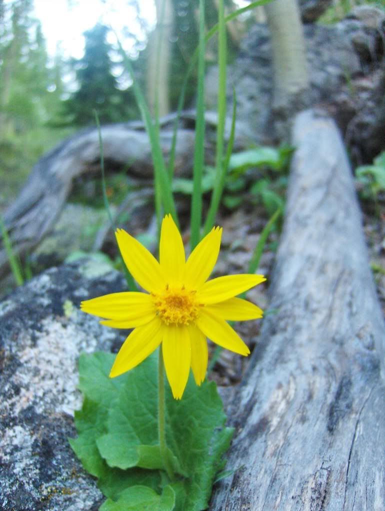 Around 7:30am, we started to break out of the trees and we could see the rest of the approach to Princeton's SW ridge route. However, we planned to contour to the N somewhere around the 11,444' benchmark that's on the map. Leaving the trail and heading off to the left over the broad slope... 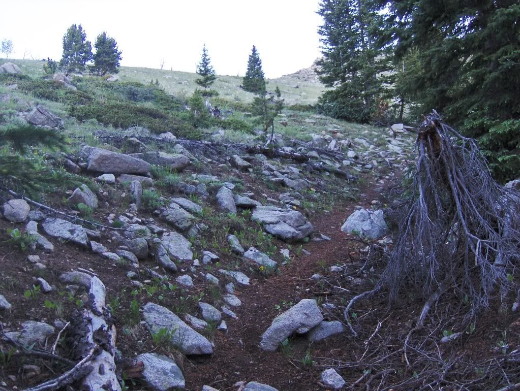 First view of our destination... 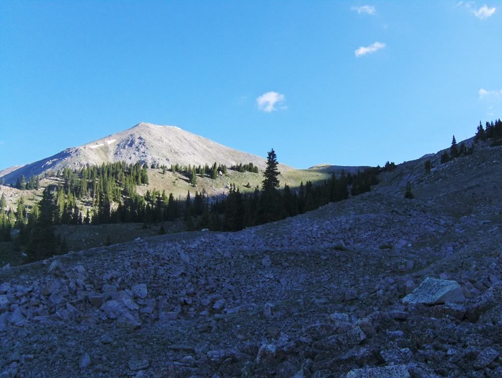 After crossing the short but stable talus field in the above picture, we were hiking on gentle slopes of tundra, interspersed with benches along the way, making for an easy hike to the summit. Alpine Sunflower... 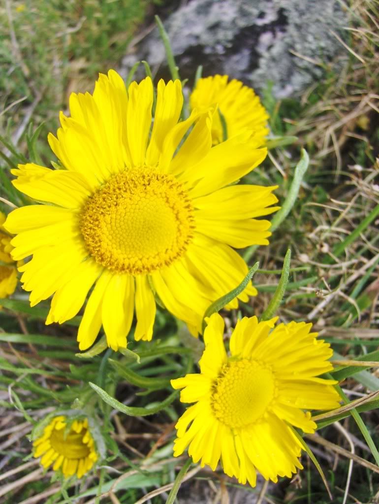 Carson coming up the gentle slopes with Pt. 13,971' and Princeton's summit (center) to the east.... 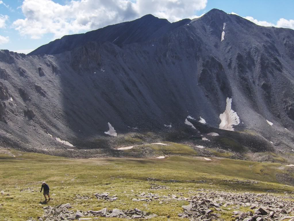 Looking south with a cluster of Alpine Avens in the foreground... 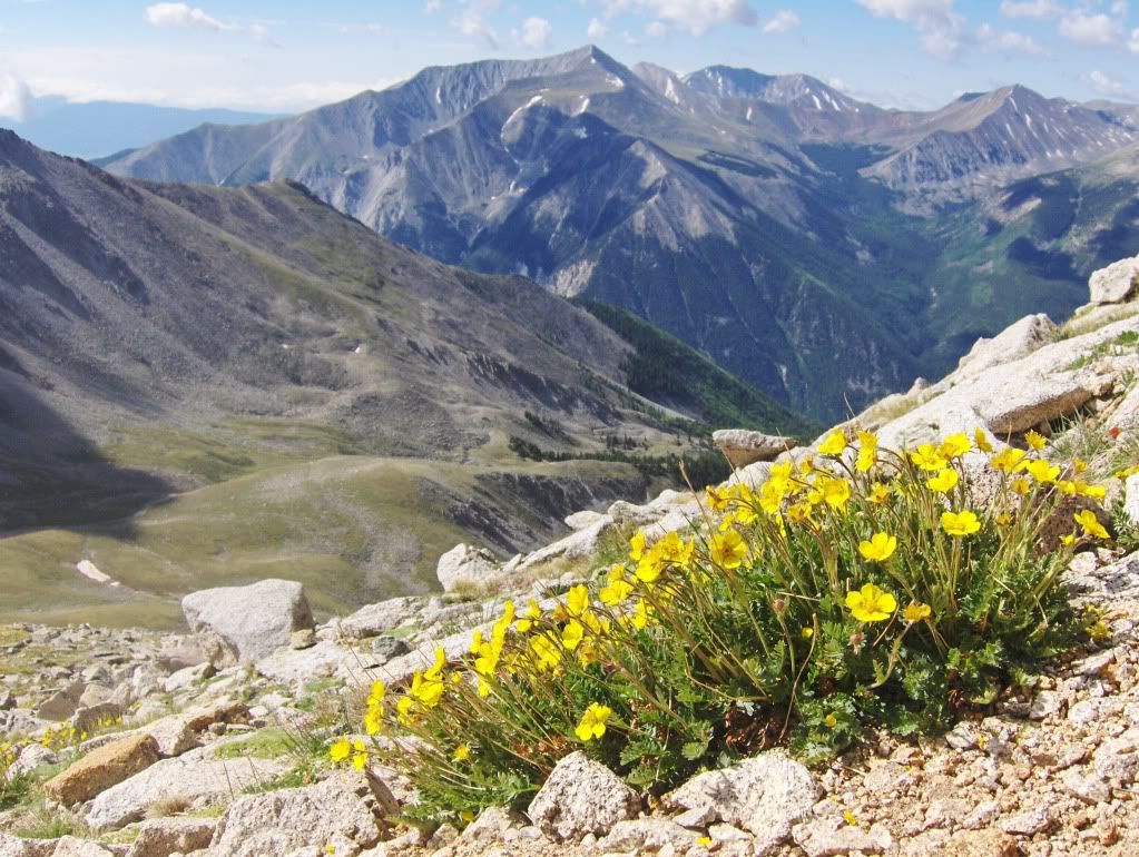 Tundra leads us all the way to the summit; views here are to the north... 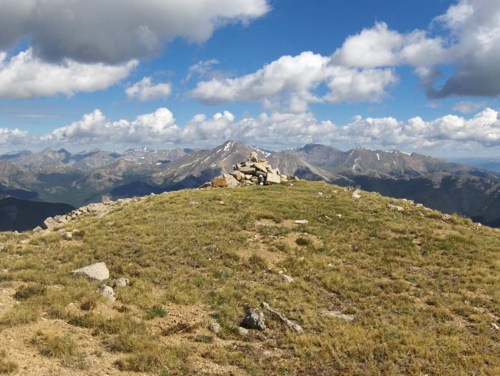 As was mentioned, I haven't been on a summit in a while. I may have been suffering from AMS (Acute Mountain Sickness) because I was feeling a bit dizzy therefore my focus wasn't very clear... 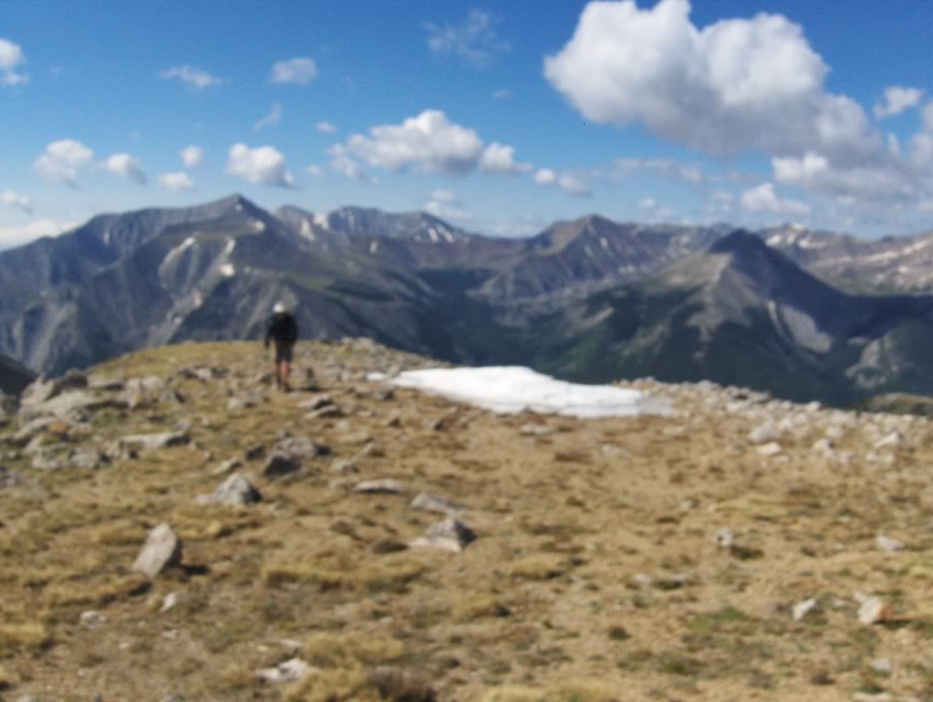 Looking NW... 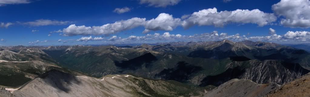 We took some time taking in the views, had a snack or two, and signed the register (that had many familiar names on it). It was a little windy and cool, so we didn't stay too long. Carson was up for the traverse to Princeton, but I had lost interest in it, so we headed down the way we came. We were back to the van sometime around 1pm, had some lunch, took in some adult rehydration (and no Carson, I don't think it's "sinning" to have a drink like that in the middle of the afternoon;), and we were on the road again to our next trailhead. End of that story. Approximate route taken on our hike: 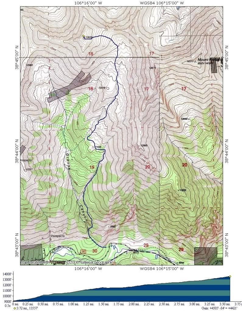 Looking W from atop of Cottonwood Pass... 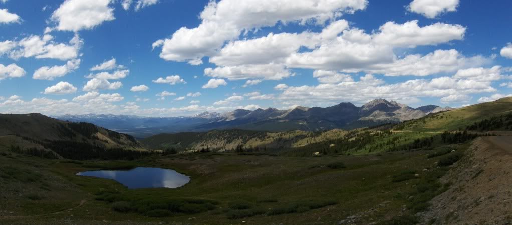 Day 2 Unnamed 13,631' This peak sits on the far west side of the Sawatch Range, therefore the summit offers expansive views of most of the Sawatch Range, in addition to the Elk Range to the west. Hence, this easy hike is worthy of a visit for anyone who seeks solitude with great views. The start of this hike is on Tellurium Creek Rd, which is marked as such at the junction with FR 742 (and is easy to find if following the directions in G&M's guidebook). We chose to camp within the first hundred yards or so, but the road is passable for higher clearance vehicles, though 4x4 at this time is probably not necessary. We were on the trail by 5:30am, walking up the road for about a mile before turning at a gated right fork that leads around the "swampy area" that G&M mention in their route description. From this point on, the road was "interesting" to say the least. I'm not sure if it's an attempt to keep 4x4'ers out, or some kind of "reclamation attempt," but for the next ~2.5 miles someone took a backhoe and scooped a bucket at a time, on both sides of the road in a staggered manner, several feet apart, for the entire road! Also worth mentioning, is the straw that has been laid down on the entire road that has been torn up. The choices for travel are, swerve in and around each pile of dirt, go over and down each pile and divot, or, like we did, parallel the road in the forest. Walking in the forest, parallel to the road, was convenient and an efficient way to travel because the forest floor is fairly clear of debris (i.e., no downfall, brush, etc). Carson suggested that maybe there's been a forest fire here in recent years (past decade or so?) because of the lack of fuels on the forest floor; it seems like a logical explanation to me, but I don't know for sure. Into the light... 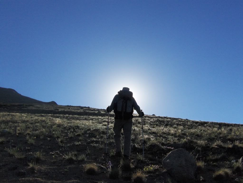 Purple Fringe... 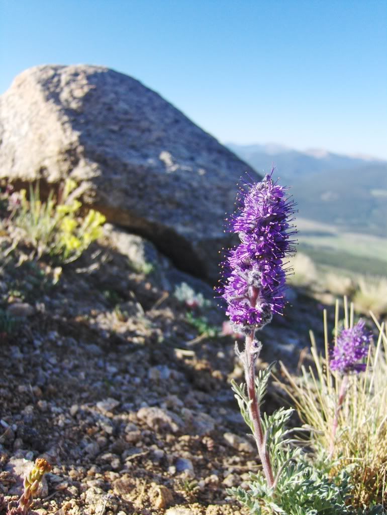 A look to the west at Castle Peak (highpoint on the left) and Cathedral Peak (highpoint on the right)... 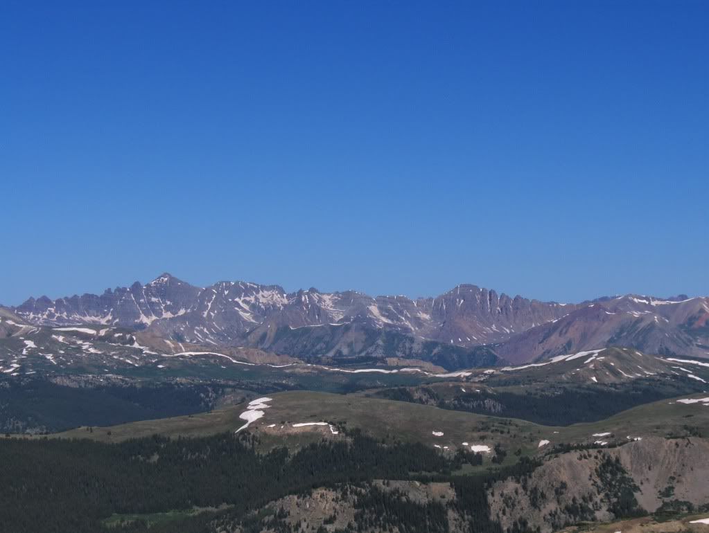 "Tedium on the Tellurium" 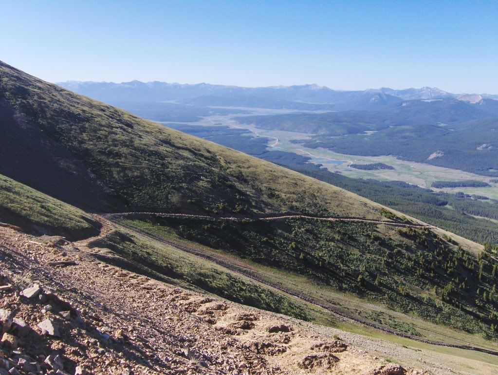 In the above picture, you can see the scooped out portions of road and the subsequent piles that the entire road is like, from the gate to well above treeline. This last section above treeline was the "tedium" on our approach. Once at the end of the road, we did an ascending traverse on decent talus to a saddle on the ridge. From there, it was a quick hike to the top. The summit (on the right) as seen from the saddle...  More of the Elk Range from the summit... 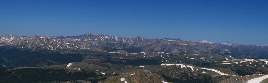 And the Sawatch from the N to the E/SE... 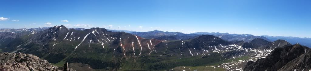 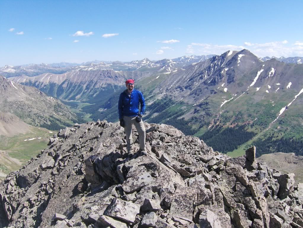 The weather on this day was perfect for sitting on a summit! We stayed for at least 45 minutes, but we could've stayed much longer with the mostly clear skies. It was a beautiful 4th of July!! For our descent, we opted for a shallow drainage to the W of the summit. We figured it would be a quicker way down than what the road would provide. The upper few hundred feet was a scree ski, and then just a mild talus/tundra walk down into the valley. We followed the drainage down, eventually finding a game trail and followed it as it went parallel to the stream that would feed into and across our ascent route. Looking back up at our peak, which is the tiny point left of center, and to the right of the longest vertical snowfield, and to the right of the small horizontal snow (i.e., remaining cornice)...make sense? ;) 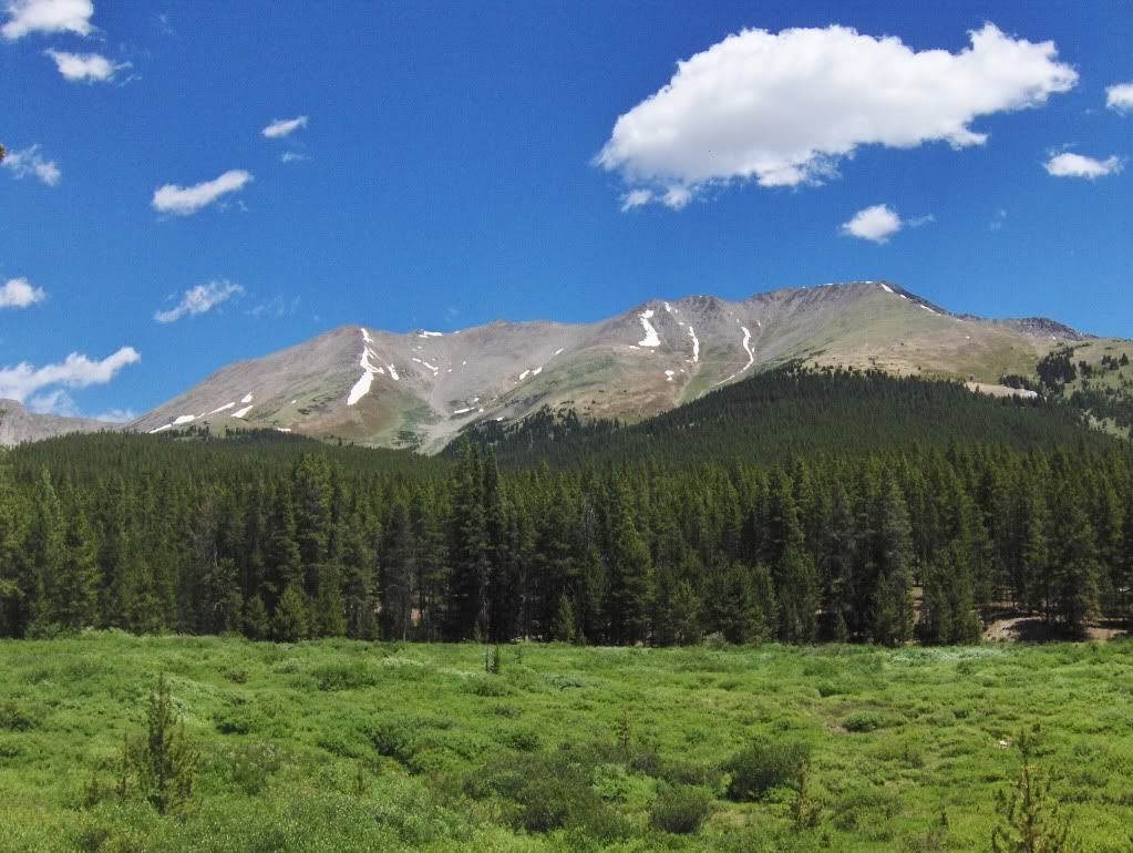 Back to the van by 12:30, some lunch, more "sinning" with an early afternoon beverage, and we packed up and hit the road. End of this trip, but more to come for sure with my good friend Carson! Congratulations Carson on a couple of more 'ticks off your list (and thanks for adding to my "new" list....ugh, another list;). Thanks for reading, Darin Approximate route taken on UN 13,631 (blue is ascent, red is descent) 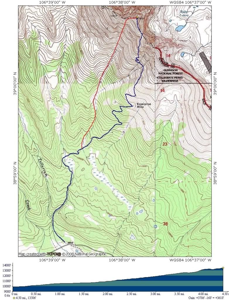 |
| Comments or Questions | ||||||||||||
|---|---|---|---|---|---|---|---|---|---|---|---|---|
|
Caution: The information contained in this report may not be accurate and should not be the only resource used in preparation for your climb. Failure to have the necessary experience, physical conditioning, supplies or equipment can result in injury or death. 14ers.com and the author(s) of this report provide no warranties, either express or implied, that the information provided is accurate or reliable. By using the information provided, you agree to indemnify and hold harmless 14ers.com and the report author(s) with respect to any claims and demands against them, including any attorney fees and expenses. Please read the 14ers.com Safety and Disclaimer pages for more information.


