Download Agreement, Release, and Acknowledgement of Risk:
You (the person requesting this file download) fully understand mountain climbing ("Activity") involves risks and dangers of serious bodily injury, including permanent disability, paralysis, and death ("Risks") and you fully accept and assume all such risks and all responsibility for losses, costs, and damages you incur as a result of your participation in this Activity.
You acknowledge that information in the file you have chosen to download may not be accurate and may contain errors. You agree to assume all risks when using this information and agree to release and discharge 14ers.com, 14ers Inc. and the author(s) of such information (collectively, the "Released Parties").
You hereby discharge the Released Parties from all damages, actions, claims and liabilities of any nature, specifically including, but not limited to, damages, actions, claims and liabilities arising from or related to the negligence of the Released Parties. You further agree to indemnify, hold harmless and defend 14ers.com, 14ers Inc. and each of the other Released Parties from and against any loss, damage, liability and expense, including costs and attorney fees, incurred by 14ers.com, 14ers Inc. or any of the other Released Parties as a result of you using information provided on the 14ers.com or 14ers Inc. websites.
You have read this agreement, fully understand its terms and intend it to be a complete and unconditional release of all liability to the greatest extent allowed by law and agree that if any portion of this agreement is held to be invalid the balance, notwithstanding, shall continue in full force and effect.
By clicking "OK" you agree to these terms. If you DO NOT agree, click "Cancel"...
A couple of friends had each skied Mt. Elbert the last two days and reported that Massive was still holding good snow. After looking at the weather, it was clear that today was going to be the best of the week. The only weather concern was that there was only a brief overnight freeze in the forecast.
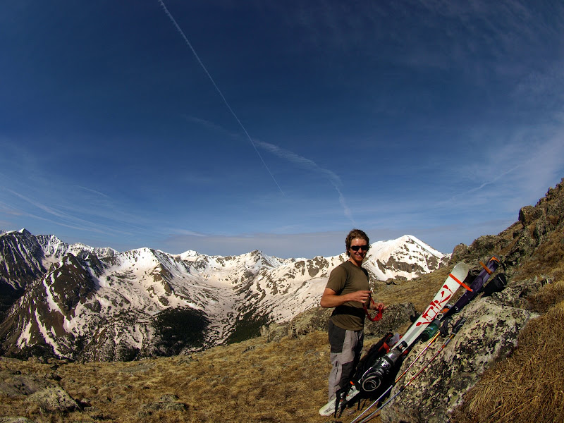
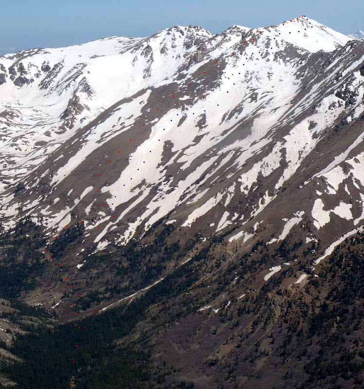
I called Chris and he was in. We met early in Leadville and got a dawn lighted look at the well filled in east face of the peak. The drive from Leadville to the TH was quick. Halfmoon Creek Road, above the 2wd parking, was totally clear of snow and only had two dicey high clearance spots. We rolled up to the trailhead greeted by balmy 35 degree temps. Slightly concerned, but you never know until you get up there.
Now at this point it's important to mention that neither of us had ever been up Massive before. With that said, the North Halfmoon Creek Trail was very obvious and, thanks to the beta provided, we made really good time in approach shoes with skis/boots on our packs.
The team that built and maintains this trail deserves kudos. It was like mall walking at points.
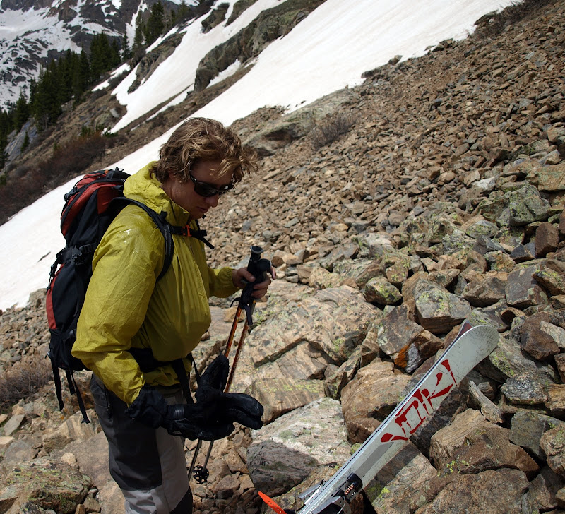
We followed the summer trail without issue to about 12,000ft. Then the snow fields became a little much and we opted to head straight up the southwest ridge, which was totally dry.
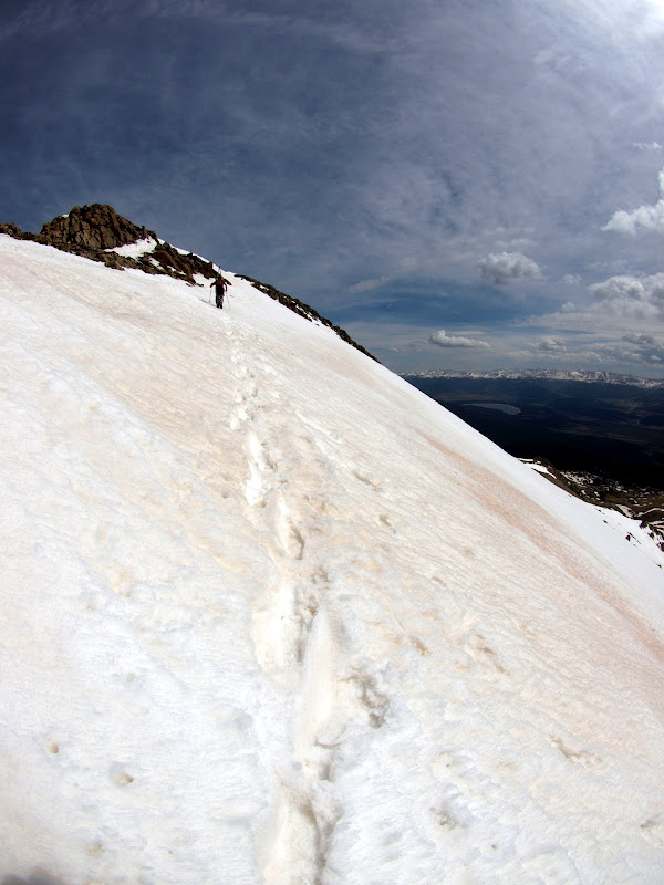
We soon topped out on the summit ridge and began the traverse to the main summit. After a few hundred feet it became obvious that the trail shoes needed to be exchanged for ski boots, but at 14,000ft, no complaints.
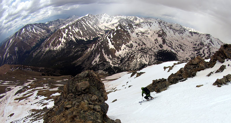
Weather was still good with warm temps and no wind. To our surprise, the snow appeared to be holding up fairly well as we booted toward the summit.
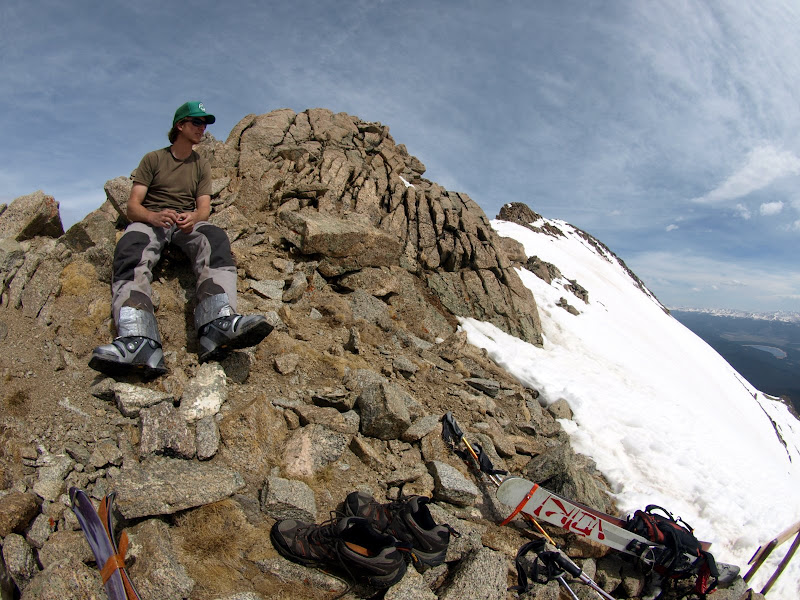
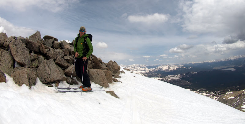
Now speaking of the summit. This is not an easy summit to identify. A long ridge of minor bumps would be a good description. We did not see any USGS markers, no summit register and a derth of standard 14er summit windblocks. Well there was a stick wedged into the point that we eye-balled as the highest. Finally I decide to climb to all the points that looked probable and see which had the highest altimeter reading. Hmmm....the two highest points were within 5 feet of each other on my barometer driven altimeter. We picked the higher of the two, which also was our original choice and, well, had the stick. One would think that with a gear room full of topos and a nice GPS I would actually bring them, guess not. I did remember that the actual summit was just slightly skier's right of the northeast ridge so that added some confidence.
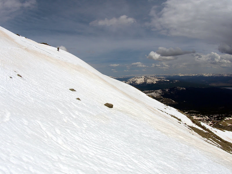
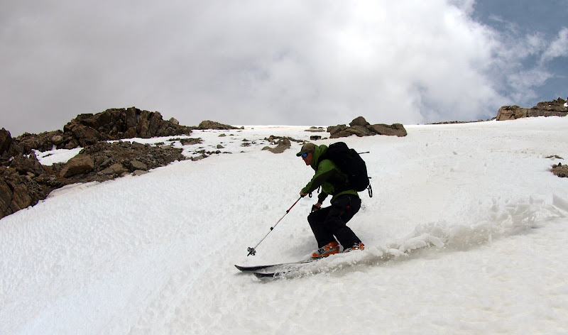
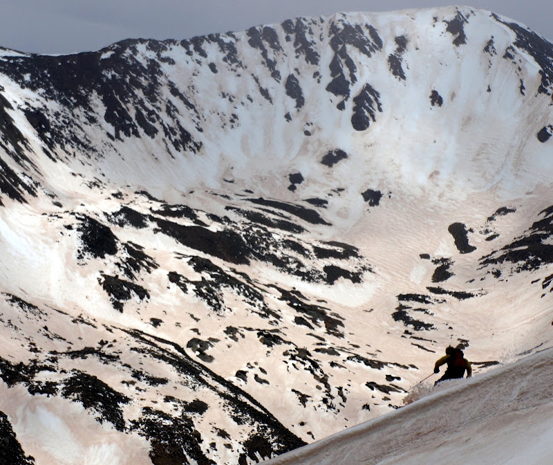
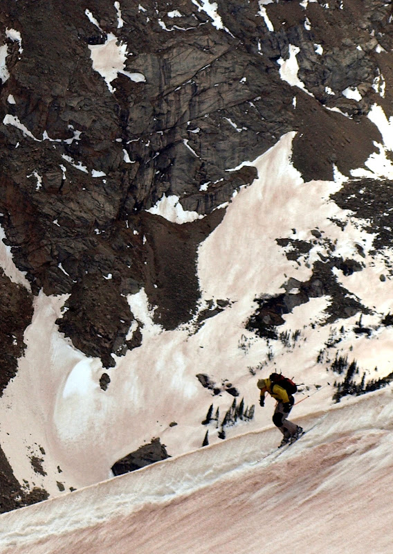
Anyway, skis went on and off we went. I skied down first and snapped a few pics of Chris's smooth free-heel turns.
We skied down the east slopes and then began the traverse toward the saddle. I was sporting a new Dynafit setup, new being relative. My old bindings from other skis, some boots I have had for a year or two, and a used pair of G3's I picked up for a $100 last week. Put them together and it's new to me. Though this is my first self mounted Dynafit binding, so I may stay off of the steeps for a while.
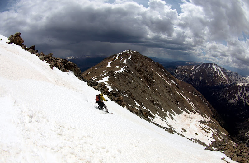
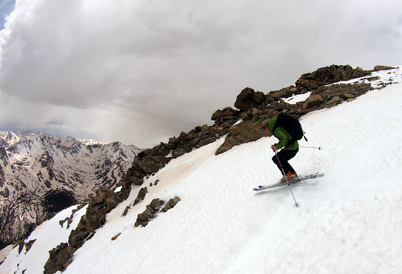
We traversed over to a snowfield just above the saddle and dropped down to the southwest side of the mountain. The snow was still good and the turns were enjoyed.
Chris:
The author:
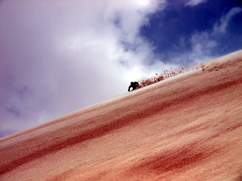
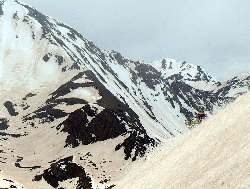
The dust layer created some variability, but it still skied well in most areas.
Chris:
Bonus points for Chris:
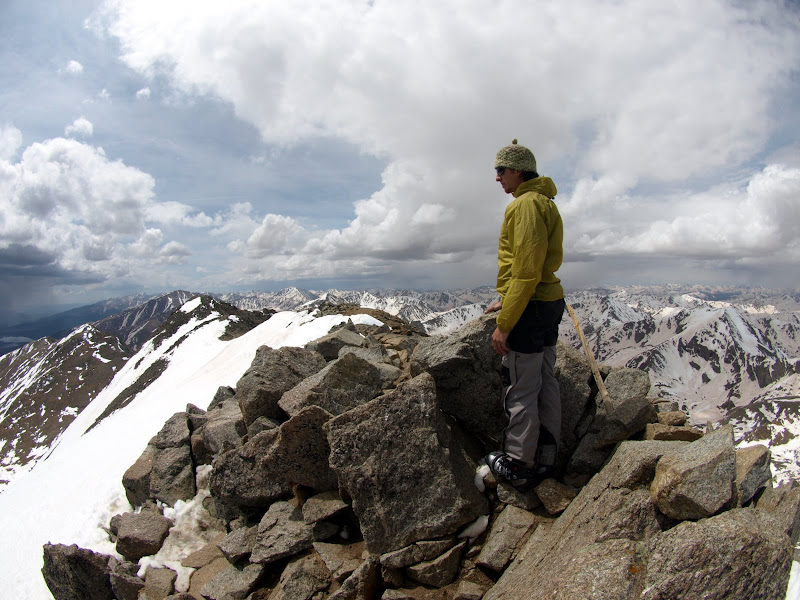
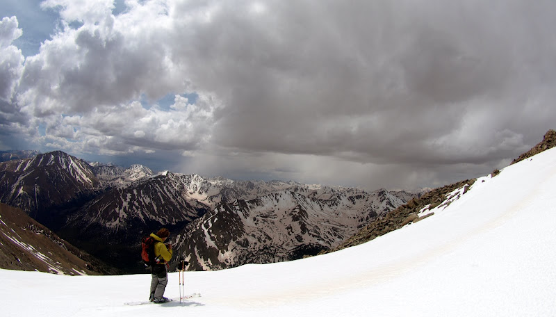
Dark clouds were moving in from three sides so we hastened our pace down to 12,000ft. The snow ran out, the shoes went back on, and it was a race to the truck. We made it back just minutes before the rain started to fall.
Doing some photo management this fall. And our internet got nuked by this last snow. Will make sure to get them back up soon.
Caution: The information contained in this report may not be accurate and should not be the only resource used in preparation for your climb. Failure to have the necessary experience, physical conditioning, supplies or equipment can result in injury or death. 14ers.com and the author(s) of this report provide no warranties, either express or implied, that the information provided is accurate or reliable. By using the information provided, you agree to indemnify and hold harmless 14ers.com and the report author(s) with respect to any claims and demands against them, including any attorney fees and expenses. Please read the 14ers.com Safety and Disclaimer pages for more information.
Please respect private property: 14ers.com supports the rights of private landowners to determine how and by whom their land will be used. In Colorado, it is your responsibility to determine if land is private and to obtain the appropriate permission before entering the property.