Download Agreement, Release, and Acknowledgement of Risk:
You (the person requesting this file download) fully understand mountain climbing ("Activity") involves risks and dangers of serious bodily injury, including permanent disability, paralysis, and death ("Risks") and you fully accept and assume all such risks and all responsibility for losses, costs, and damages you incur as a result of your participation in this Activity.
You acknowledge that information in the file you have chosen to download may not be accurate and may contain errors. You agree to assume all risks when using this information and agree to release and discharge 14ers.com, 14ers Inc. and the author(s) of such information (collectively, the "Released Parties").
You hereby discharge the Released Parties from all damages, actions, claims and liabilities of any nature, specifically including, but not limited to, damages, actions, claims and liabilities arising from or related to the negligence of the Released Parties. You further agree to indemnify, hold harmless and defend 14ers.com, 14ers Inc. and each of the other Released Parties from and against any loss, damage, liability and expense, including costs and attorney fees, incurred by 14ers.com, 14ers Inc. or any of the other Released Parties as a result of you using information provided on the 14ers.com or 14ers Inc. websites.
You have read this agreement, fully understand its terms and intend it to be a complete and unconditional release of all liability to the greatest extent allowed by law and agree that if any portion of this agreement is held to be invalid the balance, notwithstanding, shall continue in full force and effect.
By clicking "OK" you agree to these terms. If you DO NOT agree, click "Cancel"...
Peak(s):
Mtn Ida
Chief Cheley Peak
Sprague Mtn
Flat Top - 12809
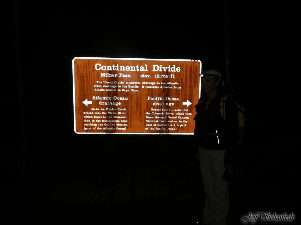
I do need to start this trip report with many thanks to my husband Jeff for being a great hiking partner, all the encouraging statements and great photos. My camera failed shortly into the trip!!!! Jeff saw the Cheley Camp hikers trudging across Chief Cheley Peak, July 2012, blue helmets and all. We had tried Ida earlier in June and were turned back by snow and circumstance.. (More on that later) We had read about the trip in Lisa Fosters Book which didn't give much detail on the route. We knew it was doable, and knew it was around 17 miles or so. Either way it was going to require headlamps...we started out at 3:30am
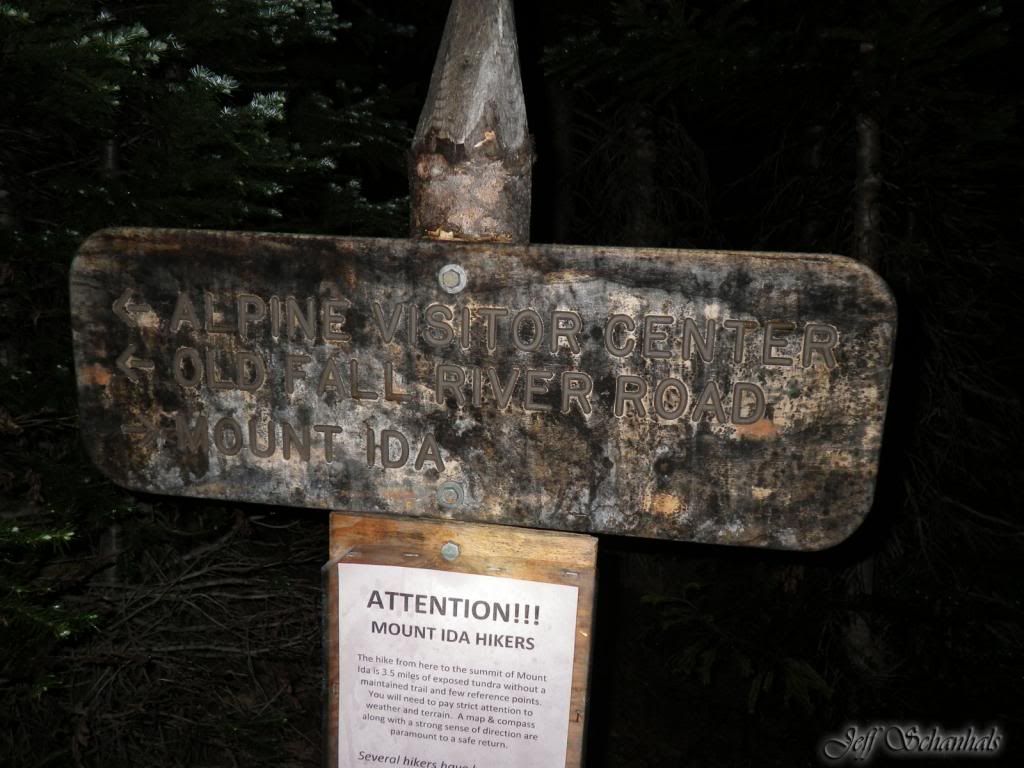
After about � mile or so the trail splits to go up to the Alpine Visitors Center or to Ida. The trail is relatively easy to follow in the summer, but is longer with switchbacks. There's not much to see anyway and it seemed shorter maybe because of the dark.
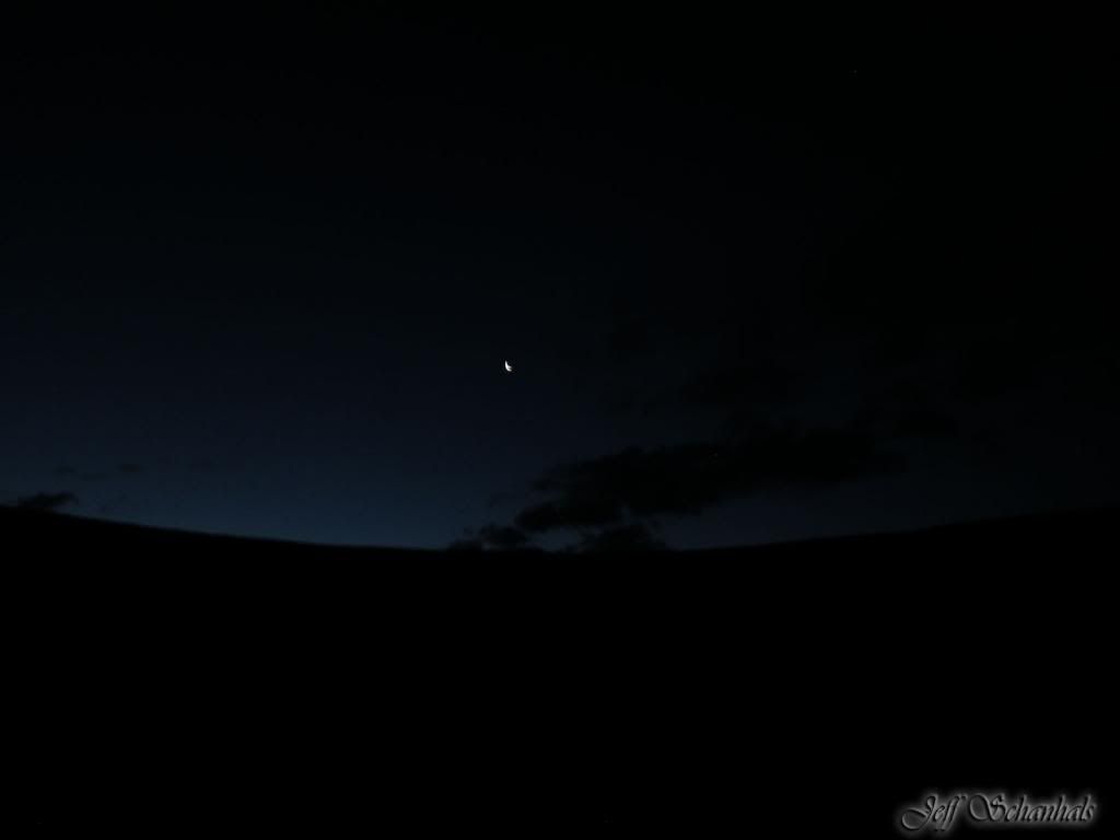
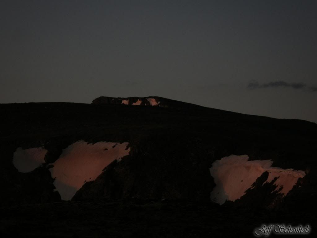
After we broke out of the trees we saw the partial moon just peeking above the divide along with the early light of the day.
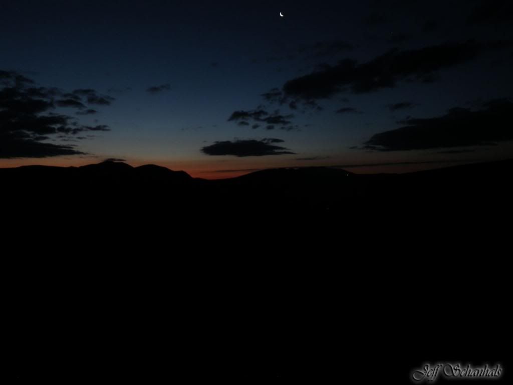
We scrambled quickly up to the divide to catch the sunrise. Now this was worth the scramble. You can also see a pinpoint of light around Rock Cut.
That is the destination for part 1. We broke out the trip in three parts... Ida...Ida to Bighorn Flats... Bighorn Flats to Bear Lake.
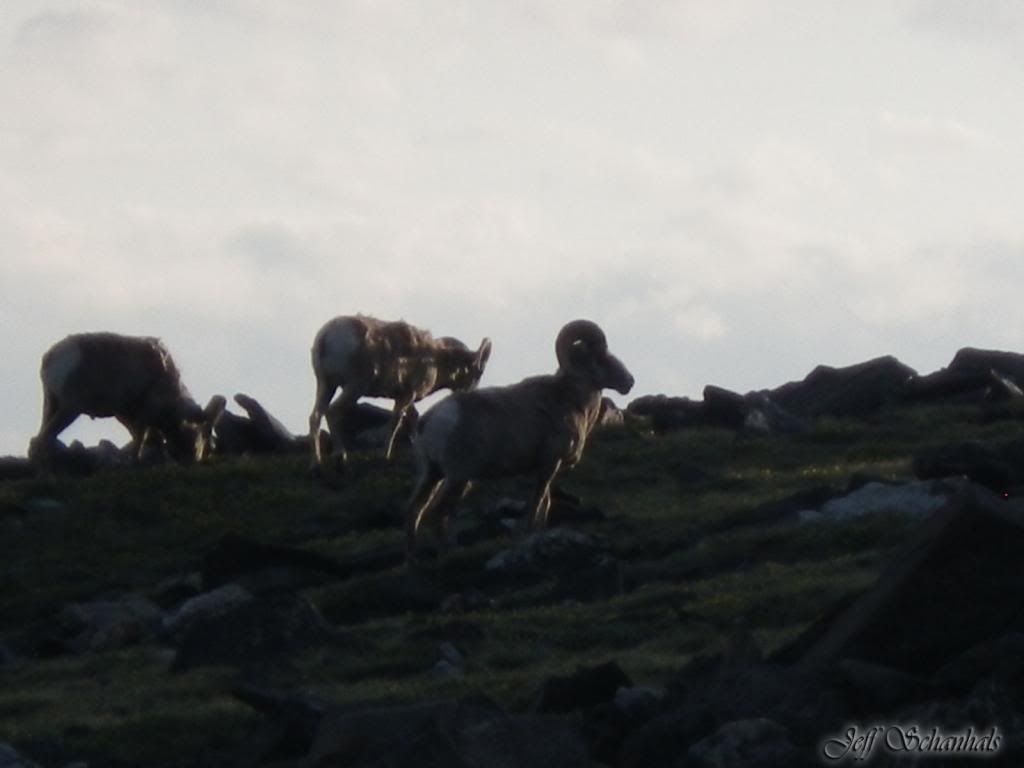
Not a great shot, it's hard to shoot steady when your heart rate and respirations are working overtime. We had miles to go.. It did give us a good breather to watch them for a bit..
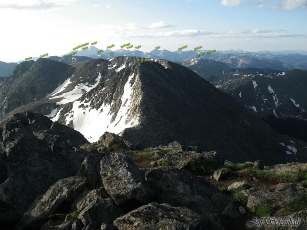
On Ida you can see all the way to Flattop and beyond.. Jeff labeled the mountains; hope the labels are readable with this resolution.
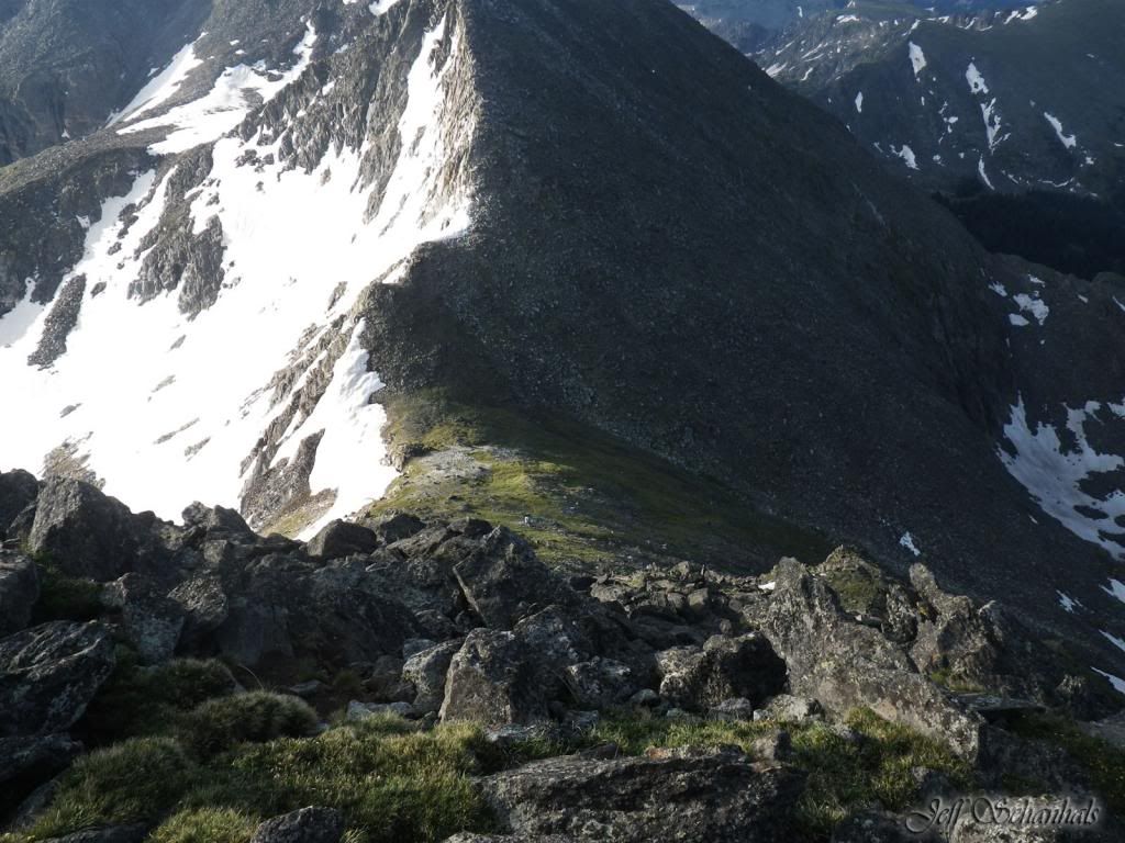
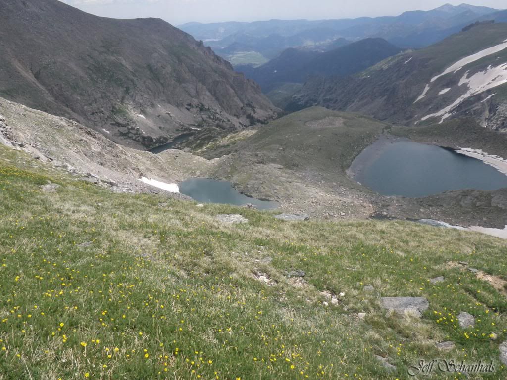
Looking down from Ida
There are cairns if you look carefully
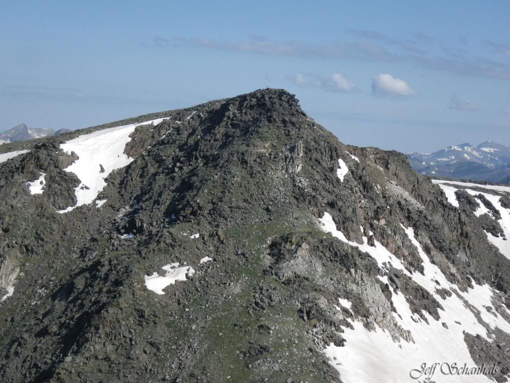
Looking back at Ida.. wow.. we came down that?
Looking south.. many more miles to go..
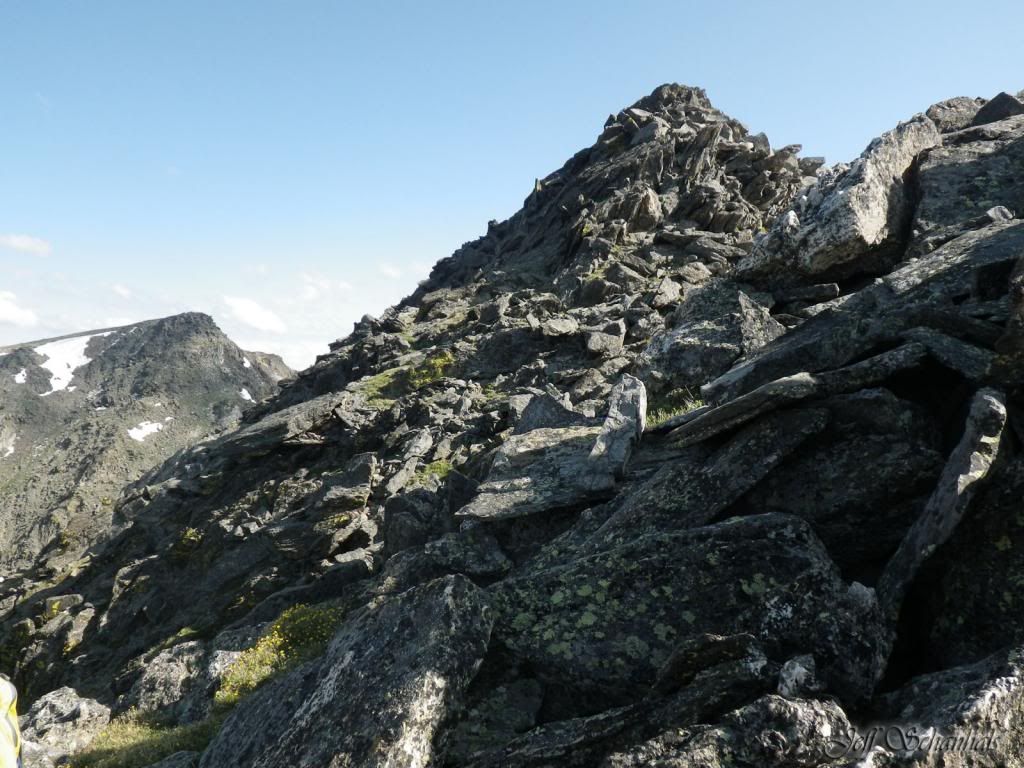
A quick note, Ida does have a route down, it's SSE of the summit, (Or your right if your looking at Trail Ridge Road) there is significant wearing on the rocks that show the route. The cairns are fairly easy to spot. Heading up Chief Cheley was pretty much straight forward too, there are some larger boulders about midway up the north face but we skirted around those to the left. You stay pretty much close to the eastern edge on the way up.
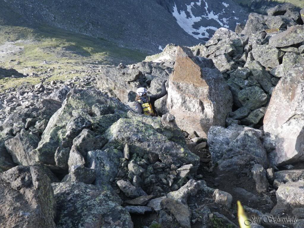
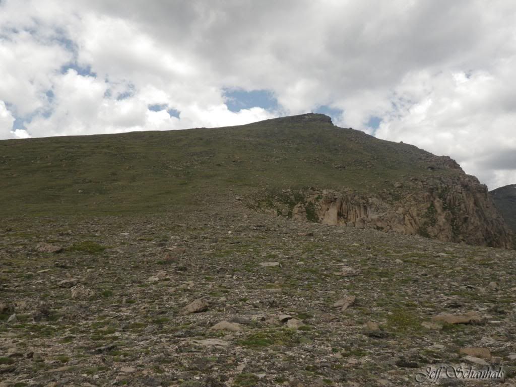
This view is from the South West of the summit of Chief Cheley looking up. To descend Cheley you have to pick your way behind the south ridge just to the south of the summit.
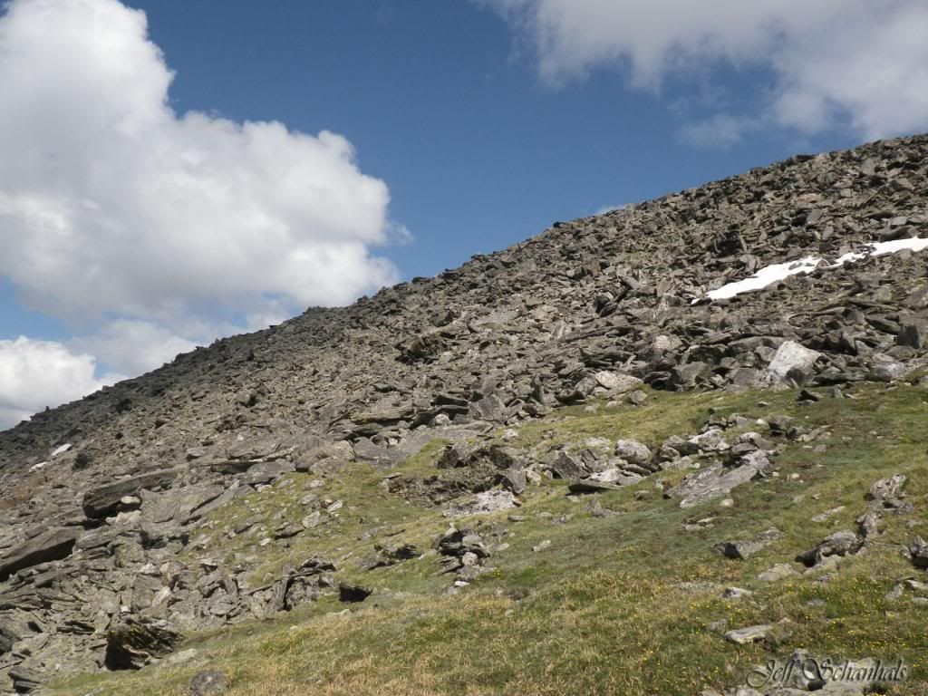
I have a word or two about talus.. there is a lot of talus on this trip.. both up and down, it wears your quads out bracing on the way down and pushing on the way up. It rocks and tilts at times when you step on it. I thought there would be more tundra and grass.. alas the aerial photo's "Green" is probably green lichen on rocks.
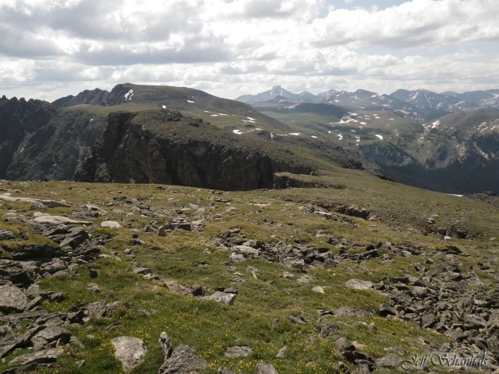
Skirt just under the big mound of rocks and go between the two mounds. Then it's pretty much just to the west of the divide without getting too low.
Stay to the right of the cuts in the divide unfortunately you lose a lot of your altitude to make your way through this stretch until the base of Sprague where you gain it all back.
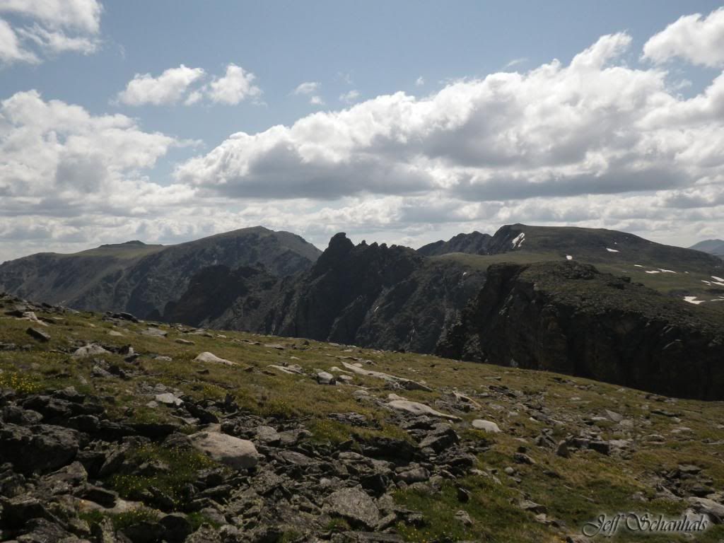
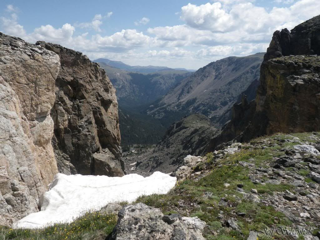
Haydens spire from this vantage point is a series of spires like teeth on a jaw with the fang up front.
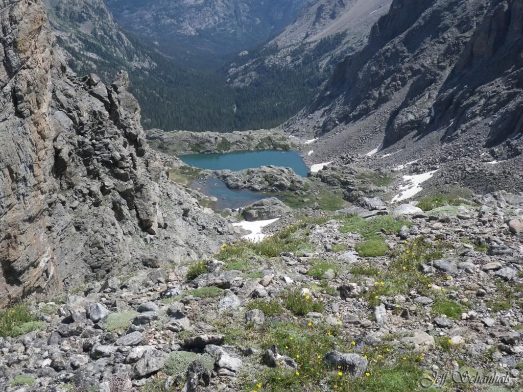
Hayden must have been a pretty important guy.. has a spire named after him, a gorge and....
A lake, and a creek.. a real VIP..
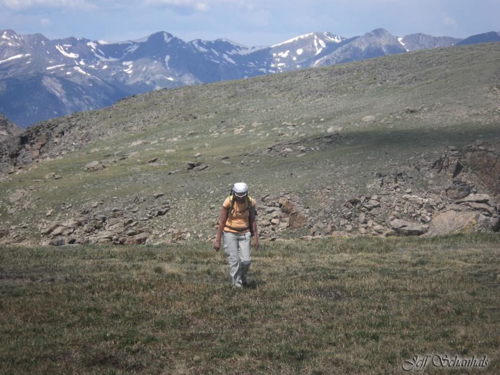
Now its just up.. we looked and looked at the map, Jeff didn't want to get to far to the west and get caught up on the northwest side of Sprague which is mostly talus. We went up the grassy tundra on the eastern side of the north slope. I started to question the sanity of this trip right about halfway up, so we sat down, drank the rest of the water, ate!!! Ok....let's go!!!!
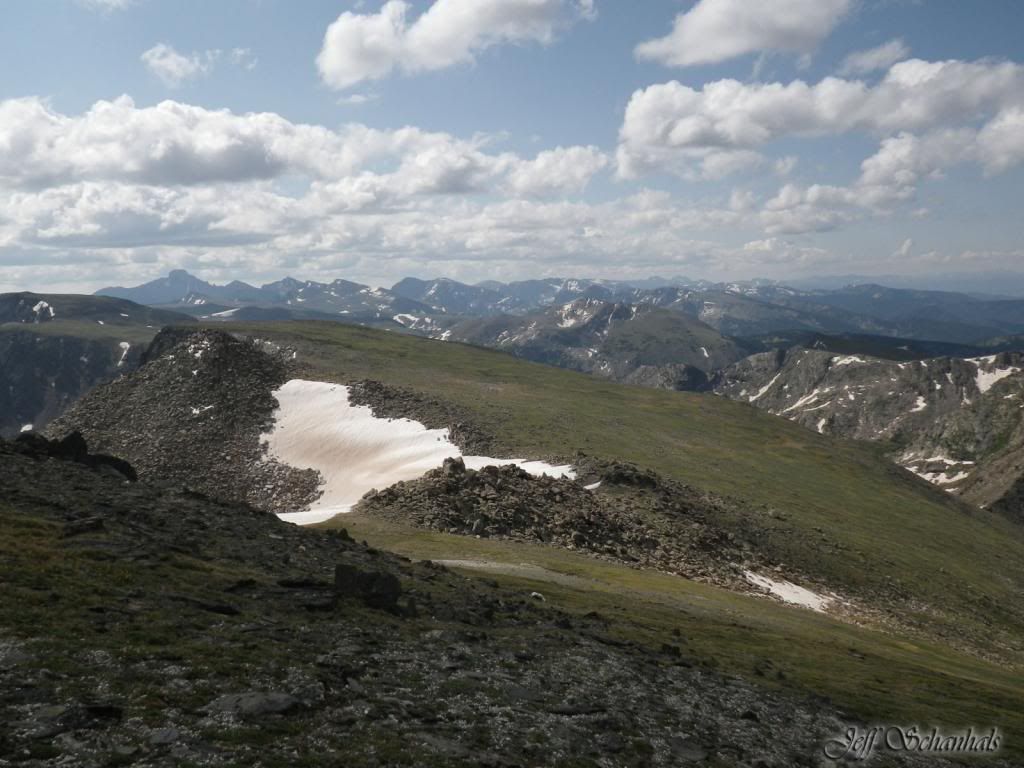
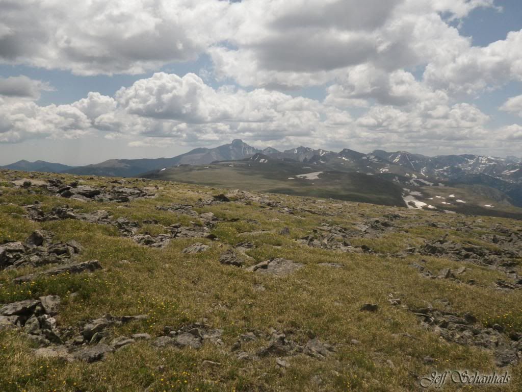
Looking at our back trail you can see one of the Haynach lakes and the Never Summer Range. Sprague is just a lot of up.. we cut the corner at the top and did not go to the summit.. legs were spent, time was running out on the clock. We had dinner waiting and wanted to catch the fireworks with the family.
The views however are awesome!!
Jeff kicks himself for not getting a picture of Lonesome Lake.. But he did get a picture of (left to right) Hourglass, Irene and Rainbow.
Looking back up Sprague.. our legs were jelly and we had miles more to go across Bighorn flats and down Flattop. We pre-hydrated before the hike Jeff's Nalgene (2000 ml) was now empty. My hydration bag was down to drips.. I was hoping we would see water in the Eureka Ditch...but for about the first mile or so the ditch was bone dry (OH NO!) but we persevered and found water. Not wanting to waste the effort Jeff filtered, and I steri pen'd... we drank another 2000 ml with Emergent C.. and Jeff packed another 2000 ml. We were set...
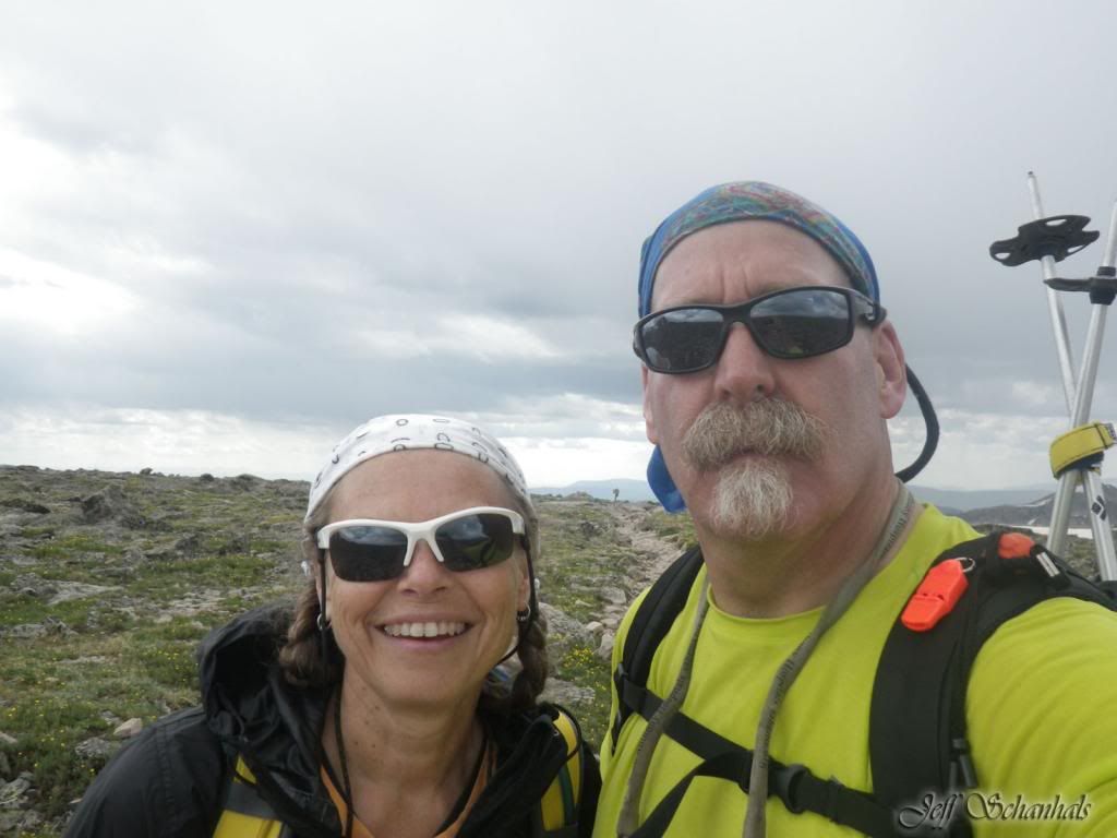
We had a bit of graupel and thunder.. which was refreshing and prompted us to beat feet. I mean there's nowhere to hide and Jeff was carrying two big lightning rods in his backpack. We got to Flattop... posed for the obligatory "Sign in the background" picture..
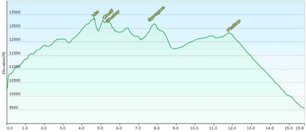
Elevation Gain: 5,515 ft
Elevation Loss: 6,807 ft
Min Elevation: 9,460 ft
Max Elevation: 12,822 ft
The difference ... Milner pass is higher than Bear Lake parking lot. Jeff's GPS said 17.31, mine was 17.1, even though the graph on the computer and "Garmin Connect said 16.1.. We're sticking with the GPS's...they made the trip.
The hardest thing for me on this hike was the last 1.5 miles...it's so close you can smell it and your bones are aching.. I don't know if we are going to do this one again... but I'm glad we did and I wouldn't trade the experience for anything. Jeff adds "I can't speak for Barb but I know her pretty well, she really wanted to do this hike partly in preparation for Longs later in July and to beat something that in her mind beat her early in June.. She not only beat it... she pounded it down flat..!!" Right!!!!
Great report. I did the Ida-Chief Cheley-Cracktop traverse in early Sept a few years ago, and looking back is still one of the most spectacular hikes I've been on in CO. Always wondered if it was feasible to hike the Continental Divide from Milner Pass to Bear Lake. Well done on the long traverse, and thanks for sharing!
Nice work. I hear ya on the jello legs - thats a lot of mileage in high elevations. Looks just as cool as I'd imagined it.
My brother and I attempted this a couple summers ago. Got to Ida and a massive fog engulfed us, visibility went to complete vertigo. We almost walked directly off a massive cliff 3 or 4 times and eventually ended up at some lake south of Ida, I think called Timber Lake. Thanks to fog - I now bring GPS, as map and compass can become useless.
Don’t know how I missed this when it was posted, but glad to see your link offered recently in a post. Yeah, you’re ready for MHC next year! I could do it again then too.
Caution: The information contained in this report may not be accurate and should not be the only resource used in preparation for your climb. Failure to have the necessary experience, physical conditioning, supplies or equipment can result in injury or death. 14ers.com and the author(s) of this report provide no warranties, either express or implied, that the information provided is accurate or reliable. By using the information provided, you agree to indemnify and hold harmless 14ers.com and the report author(s) with respect to any claims and demands against them, including any attorney fees and expenses. Please read the 14ers.com Safety and Disclaimer pages for more information.
Please respect private property: 14ers.com supports the rights of private landowners to determine how and by whom their land will be used. In Colorado, it is your responsibility to determine if land is private and to obtain the appropriate permission before entering the property.