Download Agreement, Release, and Acknowledgement of Risk:
You (the person requesting this file download) fully understand mountain climbing ("Activity") involves risks and dangers of serious bodily injury, including permanent disability, paralysis, and death ("Risks") and you fully accept and assume all such risks and all responsibility for losses, costs, and damages you incur as a result of your participation in this Activity.
You acknowledge that information in the file you have chosen to download may not be accurate and may contain errors. You agree to assume all risks when using this information and agree to release and discharge 14ers.com, 14ers Inc. and the author(s) of such information (collectively, the "Released Parties").
You hereby discharge the Released Parties from all damages, actions, claims and liabilities of any nature, specifically including, but not limited to, damages, actions, claims and liabilities arising from or related to the negligence of the Released Parties. You further agree to indemnify, hold harmless and defend 14ers.com, 14ers Inc. and each of the other Released Parties from and against any loss, damage, liability and expense, including costs and attorney fees, incurred by 14ers.com, 14ers Inc. or any of the other Released Parties as a result of you using information provided on the 14ers.com or 14ers Inc. websites.
You have read this agreement, fully understand its terms and intend it to be a complete and unconditional release of all liability to the greatest extent allowed by law and agree that if any portion of this agreement is held to be invalid the balance, notwithstanding, shall continue in full force and effect.
By clicking "OK" you agree to these terms. If you DO NOT agree, click "Cancel"...
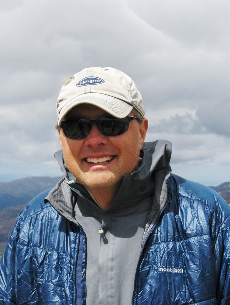
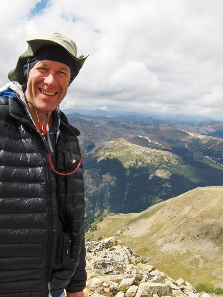
The sLacka's: (Lil') Lisa Heckel, Dave (Big Wave) Dietz, (Wild & Crazy) Rhonda Weiler, Calvin (The Pill Pusher) Eisenach, and Me: Duh-Arin Baker
"Lackawanna Peak" (13,823')
*Sawatch Range*
Trailhead: N Lake Creek TH Route: ascent of Lackawanna Gulch to NW ridge; descent of NW ridge route"which I led us off-route so we did more of a N slopes descent Distance: some miles Elevation Gain: it was uphill, and then it was mostly all downhill from there Difficulty: class 2+, so approach this route with extreme caution
Gear: daypack w/Essentials, even some trekking poles, (and the mandatory stop at Bongo's in BV for those with a coffee problem), my mail (Lil' Lisa was my mail delivery lady for the day"thanks! Finally got those B-day cards)
Intro
So Lil' Lisa (affectionately called Heckel by some of us"because it's a fun name to say) invited me on a hiking trip. Poor Girl. She had no idea what she was in for. For starters, near the start of this hike there's a stream crossing. Heckel doesn't like stream crossings.
And it goes without saying that every time we go out, she gets picked on by me. "Why are you always picking on me? I remember when we were friends." Sigh....always whining. (Insert smiley face here so she knows I'm kidding. Sort of. Maybe? Of course I am.)
But she's getting old, she's forgetful. At least that is what she tells me what happens when you get old.
And then there is Calvin. I think the last time we (Lisa, Dave, Calvin, & I) hiked together, he was buried deep in mud. An ill-advised route finding choice on his part. Dumb Ass.
And yes, that is Lisa standing there, laughing. Poor Guy. He had no idea what kinds of torture he was in for that day.
And Dave? He was standing next to me, taking pictures of Calvin. What kind of hiking partner is that? Dave is notorious for taking not so candid (or maybe they're candid?) photos.
Like when someone is picking his nose.
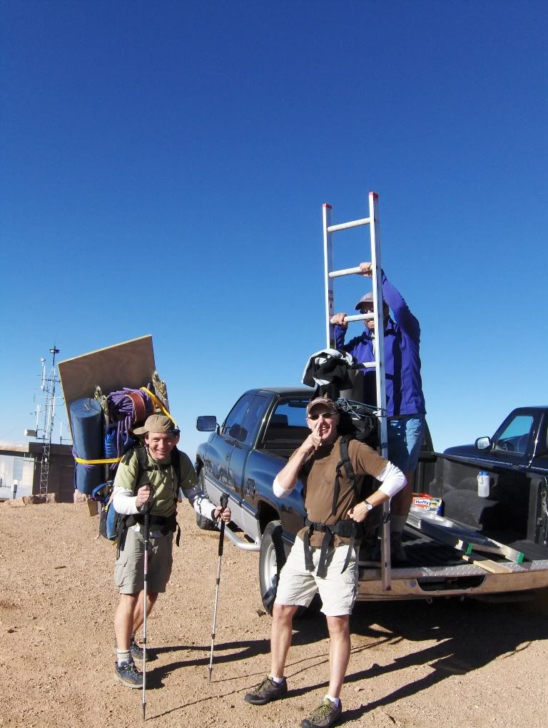
Oh wait. I took this picture. That's Pete. He ain't right. Paul is on the left, and judging from his hat and smile, he might be kinda funny too. And what's with the ladder? (That's another story about another bad ass mountaineering expedition that is best saved for another trip report. Roofing at treeline on a 14er, how many people have done that? Yeah, that's what I thought.)
What does the above photo & info have to do with this report? Nothing really. But, coincidentally Pete is the person that 'coined' the Heckel nickname. It's stuck since, at least for me.
Then there is Rhonda.
Poor Girl. She had no idea what she was in for coming out with the likes of us. But, she's a bit twisted herself. She likes to torture people, and probably even lecture them, while they're sitting under the bright lights of a dental chair. "You know, you should floss more." But she says it with a wonderful smile, with a hint of a Minnesota accent.
Me? I'm just a little bit slow and dim-witted. Hence the name, Duh-Arin. I get by ok though. Besides, I'm writing this dumbass report, I can write what I want.
Since living in Avon for the summer, I have not seen many of my friends from the Springs. With all sarcasm aside, I was looking forward to this hike. By the end of our trip (and probably by the end of reading this report), they'll probably wish I would stay in Avon a bit longer. (Insert sad face, but this time for me.)
Now on with the extreme, massive (wait, not that Massive) mountaineering adventure of Epic, yes there is that word, Epic, proportions. This report is not Lacking.
This report is all about Lackawanna. And some other b.s. too.
Meeting Time, Sunday morning at TH
Lil' Lisa volunteers each year for the Pikes Peak Challenge, so effectively she was altitude training for our big expedition while sitting on her ass at A-frame on Pikes Peak on Saturday. I'm sure there were some upright positions at times during the day though. She's a good little helper.
Anyway, they elected for a dark-thirty departure from the Heckel Hacienda (they're not Spanish by the way) on Sunday morning. We were shooting for the super-duper alpine start of 8am. I left from Avon sometime around 5:58am. I know you want these details, which is why they are in this bad-ass report.
(I wonder how many times I can write 'ass' before getting censored?)
Disappointment #1
Heckel doesn't get her Bongo's.
The Big & the Bad-Ass Lackawanna Hiking Expedition is Underway
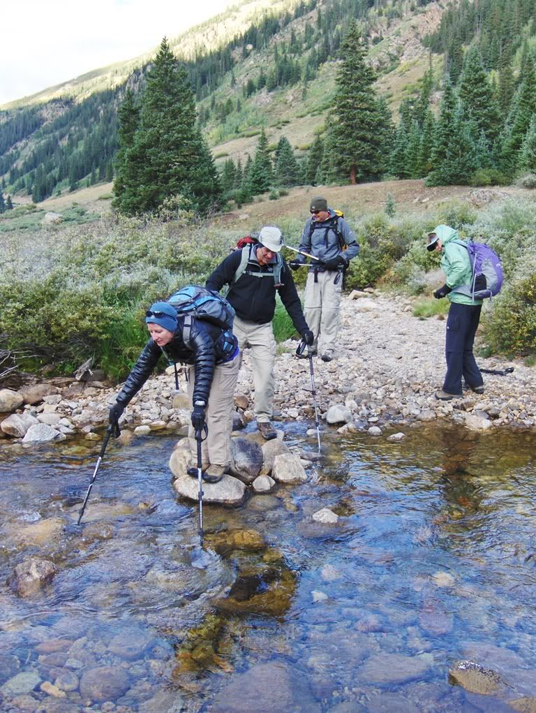
We hiked up the road, lost in conversation and catching up. We were at the stream crossing right away. This is where Disappointment #2 comes up:
nobody falls in at the stream crossing (and I had my camera ready for it). Oh well, we have to cross again later in the day. We can hope, can't we?
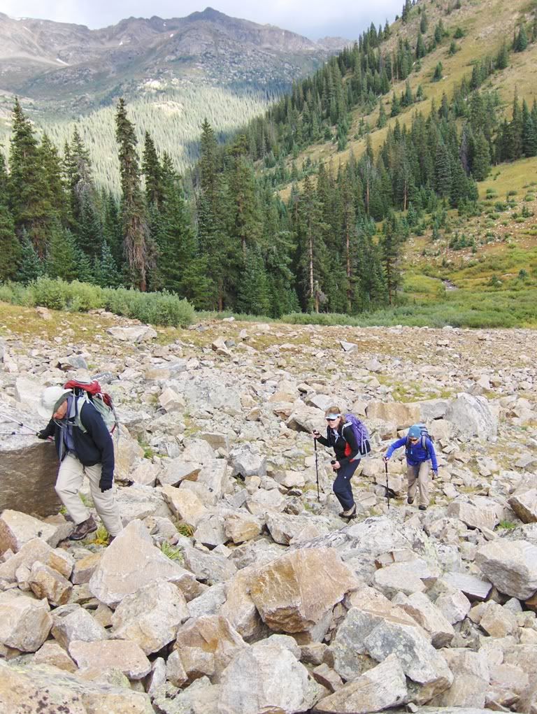
Soon we were passing the log cabins and breaking through the trees to the boulder field crossing.
Disappointment #3
The ladies start raving about "Out of Africa." They're giddy.
The Ladies (Calvin included): Out of Africa
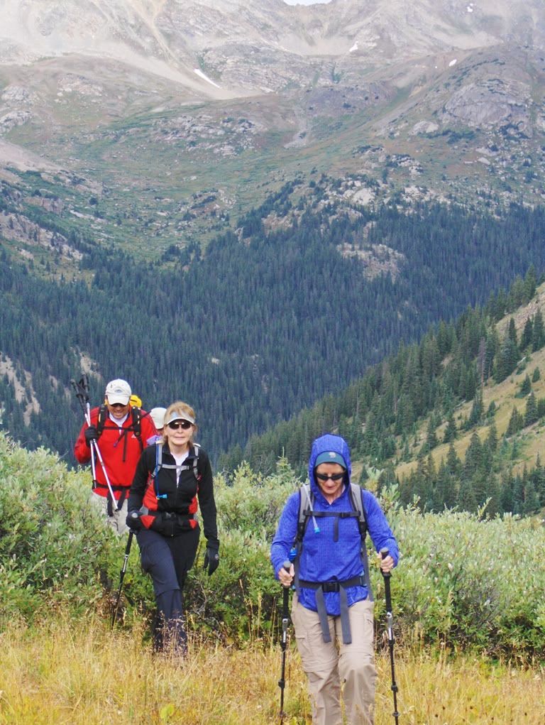
Higher up in Lackawanna Gulch
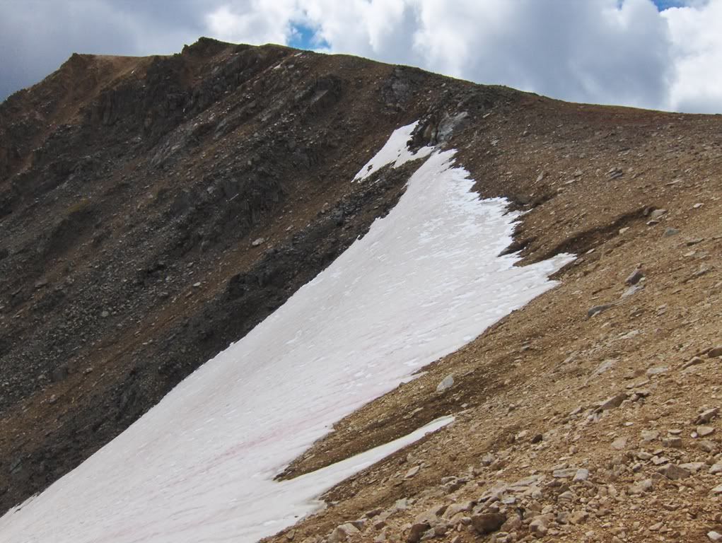
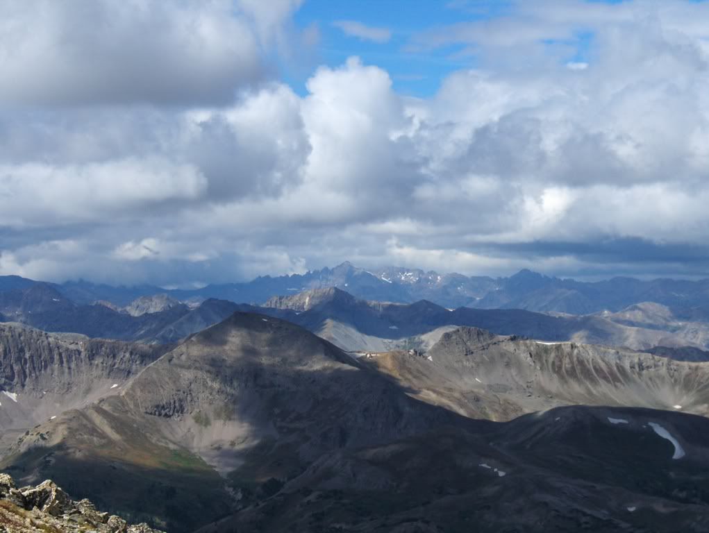
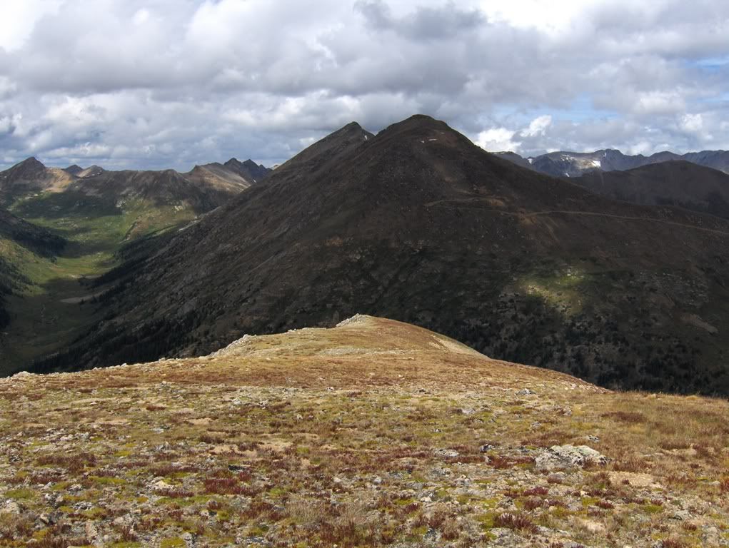
Mt Champion (13,646') from Lackawanna Gulch
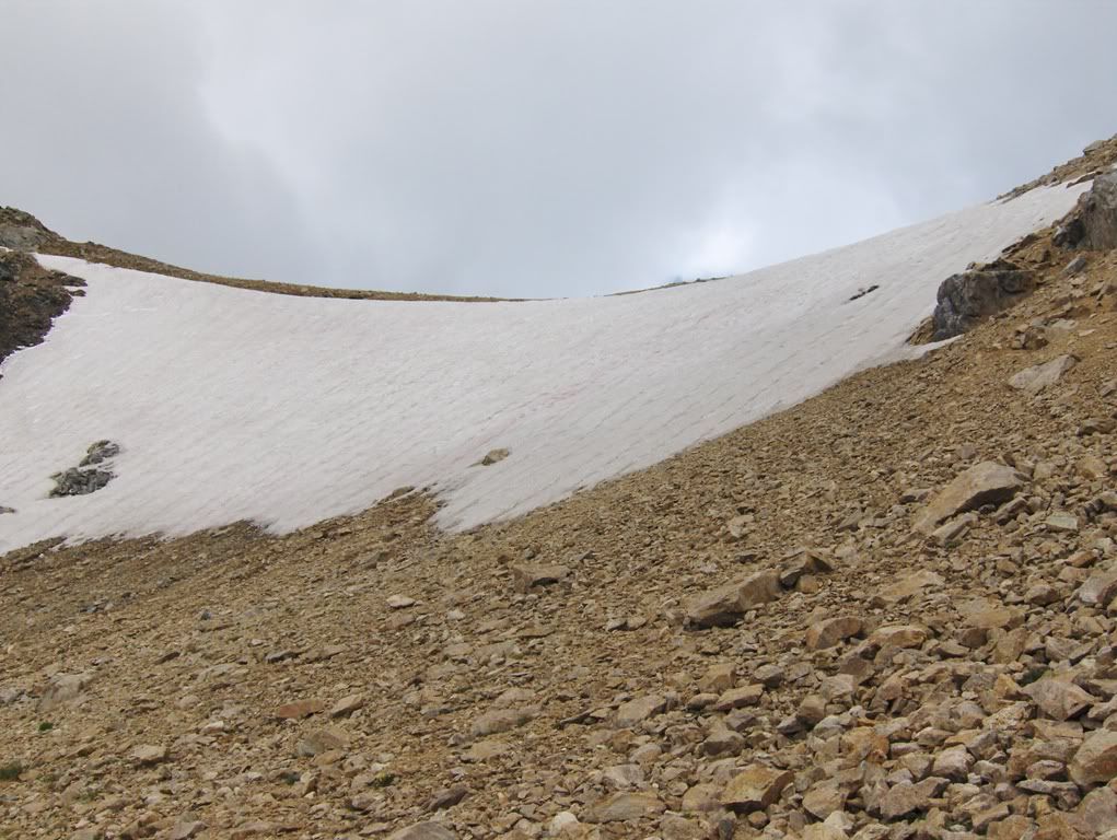
We turn the corner and head up into the final part of our approach to the NW ridge. The snowfield that I encountered two years ago (almost to the day) was there, but this time it's a little wider.
Most of us went to the right of the snowfield one way or another. Calvin went to the left of it.
At the saddle, we take a break. This is the part that I was told to write about giving a "beer wench" flowers. The wench comment is not my own words. I don't think she's a wench. She does serve beer though, and she's cute. I'm a sucker. I digress.
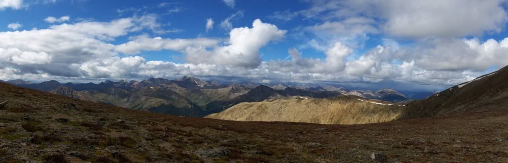
Pan from the saddle
Grizzly Peak A (13,988') still sporting its snowline (i.e., Grizzly Couloir)
Lisa's 14er finisher, and she did it on my birthday (for some reason I was invited on that one too)
Castle Peak (14,265') in the center, in the distance
We depart from the saddle, and head towards the summit.
Summit is in sight, Calvin waits for us
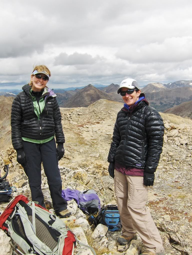
The Ladies
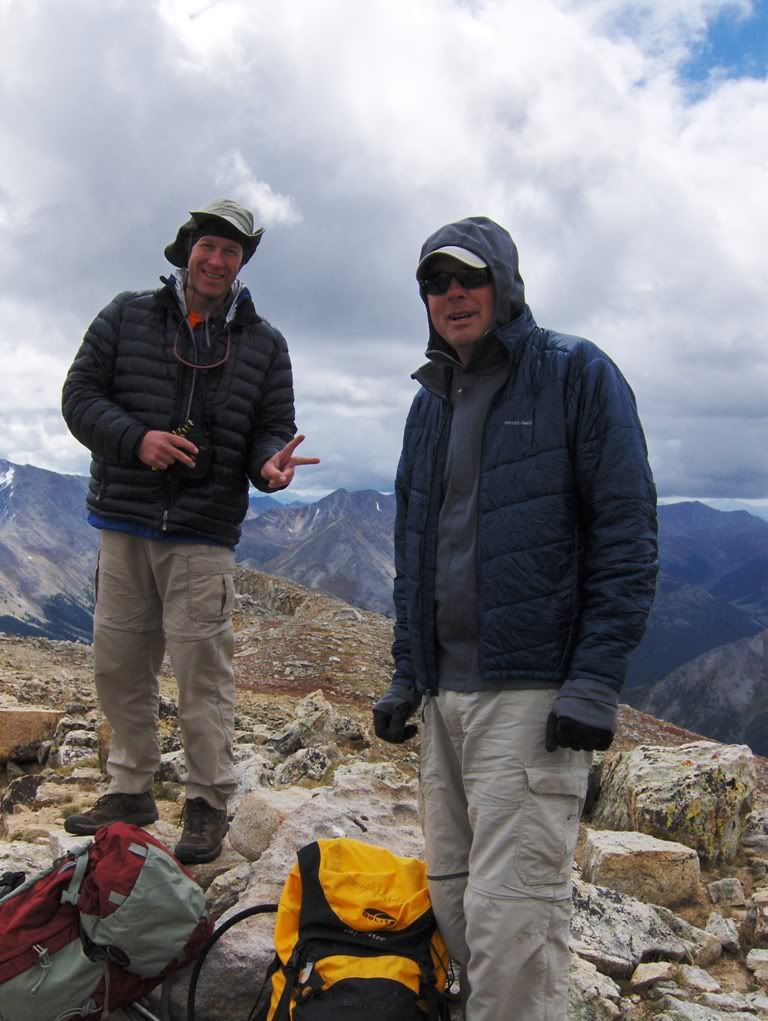
The Dudes. Peace Bro
The Pill Pusher
It's ok, he has a license or a degree or something like that"so it's legit. And purely for medicinal purposes only.
Big Wave
We linger. We eat. We laugh. Calvin makes adjustments, or something, I don't really want to know.
The girls continue to talk about "Out of Africa." Oh, don't forget about the soundtrack. Music to my ears, I'm sure. (Can I get a HellYeah!? Seriously, I like HellYeah.)
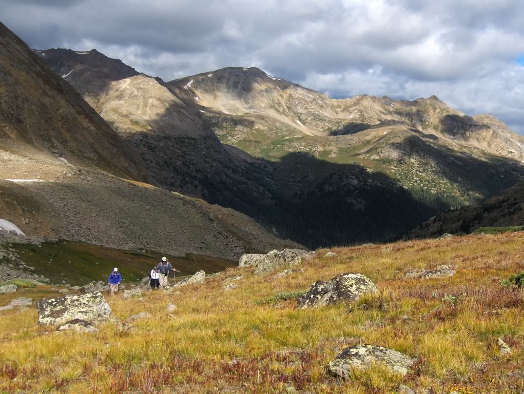
Part II of our Bad-Ass Expedition: Pt 13,660'
13,660' B"softranked if you care
Ranks. Well, a few weeks ago I thought I hit the centennial mark on 13ers, which I did, but I thought they were all ranked 13ers. I was wrong. There goes my parade to the rain. I'm a slacka, and obviously I don't know how to tell the difference between ranked, soft-ranked, and un-ranked. (But in reality, it's 14ers.com's checklist that counts for me, cuz' I can't count that high).
Proper ranking is high on my list of ethics. It's very important to follow the rules of "the list."
Whatever.
Anyway...
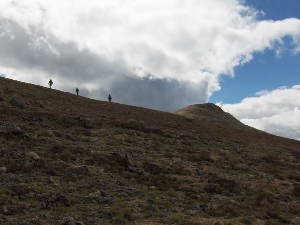
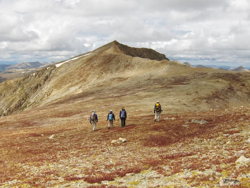
Coming up ridgeline of 13,660'
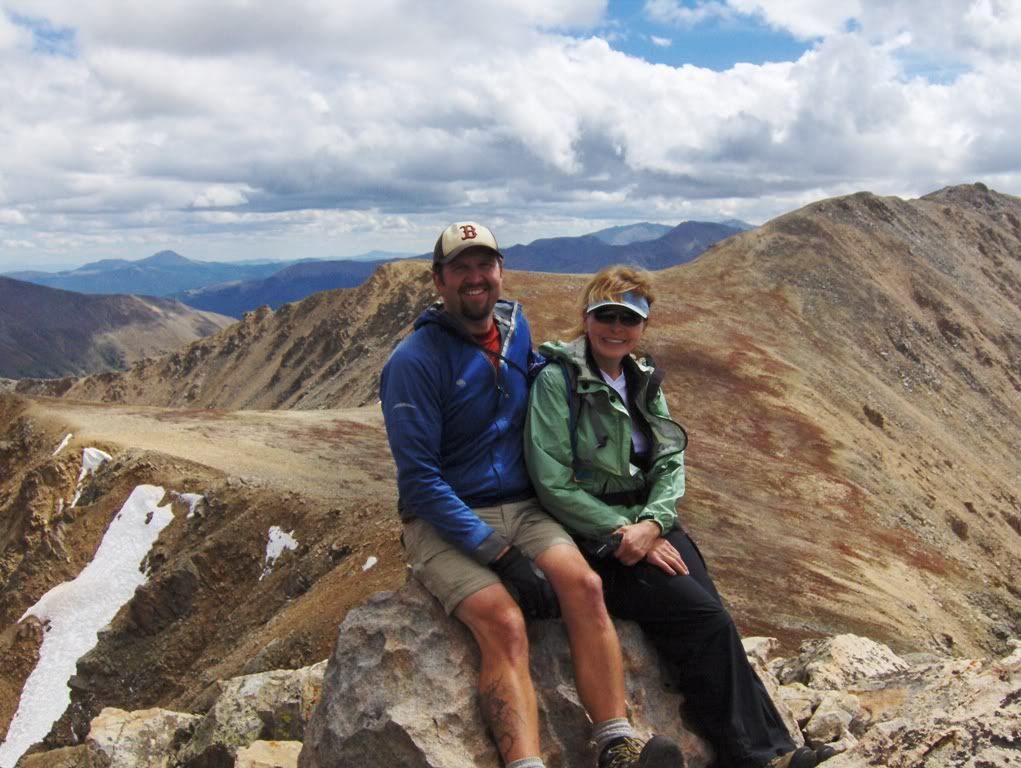
Poor Rhonda, she's posing on the summit with the author
We linger. We eat. I probably made someone cry (sorry Calvin). We leave.
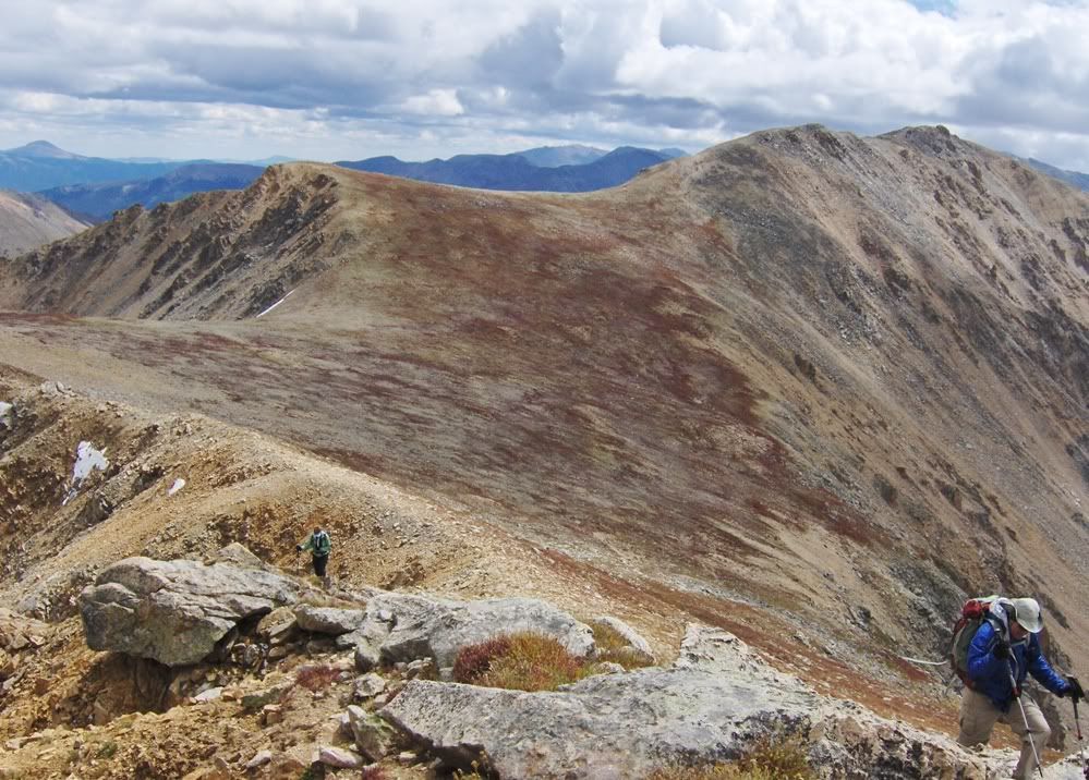
NW ridge descent
On the descent, I made it up as we went along, which isn't hard to do"I make up stuff all the time (for instance, this report). It continued to rollover and get steeper, I went right. Probably should have gone left if I wanted to follow "the route."
We ended up hiking down some steep grassy slopes, where it cliffed out in the center, but to the left was a gully I investigated, only for that option to cliff out with water-polished steep slabs. We tried another gully to the E, and it went with a couple of short class 3 moves to gain the mellower portion of the loose gully to get to the tundra slopes below.
Calvin found a different option, which kept him on steep tundra benches, and Dave and Rhonda followed.
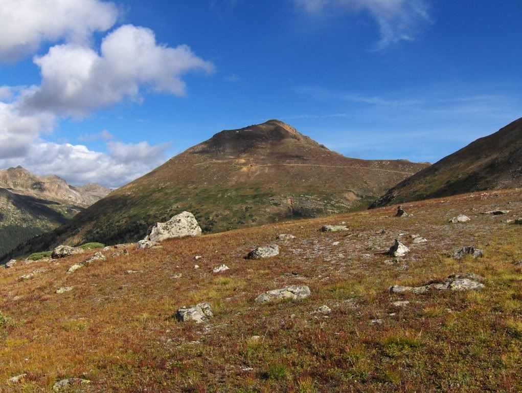
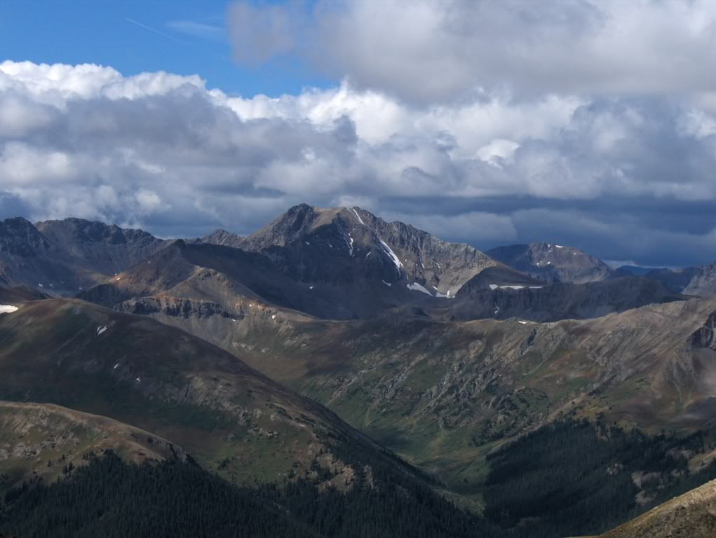
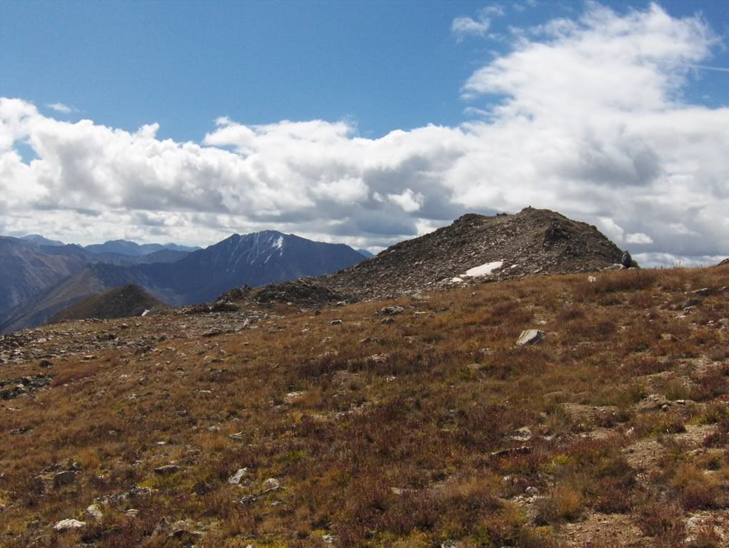
Mt Champion & UN something-or-other
At the end of the ridge-line that can be seen in the above photo is where I steered us in the wrong direction. But oh well, we made it down without incident.
End of my story. If you talk with anyone else that was on this trip, I'm sure they will confirm most of the above statements. If they do not confirm and flat out deny, don't believe them. They're shady.
Good-bye.
Thanks for reading my bad(ass) report. (Or maybe I should apologize?),
Darin
Thanks Darrin. Where was the mud bog? I seem to have a similar knack in route finding so I'd like to avoid that if at all possible. TRs are getting pretty darn funny on this site. And, yes, the list is the most important thing to abide by in the hills. Everything else are just minor details.
...and I hope we do, you are not allowed to take my picture! I have a way of looking goofy at things like creek crossings.
I've always heard that Lackawanna is a miserable slog best done with snow. You've made it into anything but!
Thanks for spiking my morning coffee with laughter.
I think Hoffa is buried in that mud bog... 9/15/2011 10:00pm
Nice writeup D-A-R-I-N. I can't believe these guys I associate with refuse to spell your name correctly. I think we need to knock some sense into them. I'll tell you what, you take Floyd (former NFL player) and I'll take benners. Deal?
Thanks for the comments everyone. Even if you did spel mi nam rong.
Pap...I don't know if I want to mess with Floyd. Dogs bite. But Scot, maybe. ;)
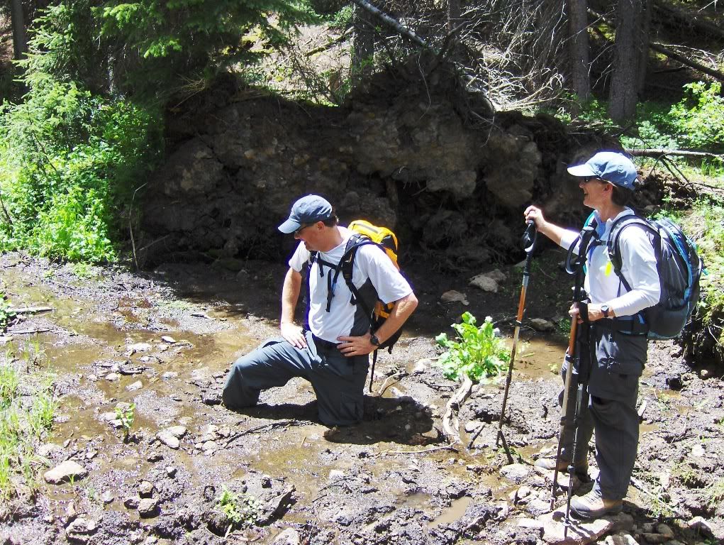
The mud bog was on our descent from Mt Ouray (as I was leading us on a bushwack) to get back to Marshall Pass. It was a funny moment for sure! Luckily Calvin didn't lose a boot.
Matt, Heckel wasn't happy with the stream crossing pic. If you and I get out sometime, I'll try to improve with my picture taking.
I'll help you out with Floyd, but he's my ride these days. This wouldn't be the first time someone would have asked me to kick his ass either surprisingly enough.
Nice TR DARIN, but I will be hitting this peak with snow, preferably when the avy danger isn't extreme around the Indy Pass region. And here I thought postholing up to your johnson was limited to snow. Folks at Goretex might have to go back to the drawing board with terrain features like that.
I don't bite, but I'm Barry Bonds with a hiking pole. I seem to be making all sorts of friends on the site these days and the funniest part is Helmut isn't lying about being asked to kick my a$$.
DARIN, glad to hear that was actually on a mountain I've climbed. I guess the 3 feet of snow we plunged through covered that bog up for me. Awesome report again, even the banter is entertaining.
Be Mad at Heckel, it was her trip. ;)
Lacka is too tame for you anyway. You should have come up to Avon to visit me this summer for a Gore-rrific time somewhere!
I like this trip report...but I don't like you 8/12/2014 11:13pm
So this was a Springs reunion huh? Funny, I don't remember an invite. Thanks a lot dude.
Size 12 feet? Damn!
Caution: The information contained in this report may not be accurate and should not be the only resource used in preparation for your climb. Failure to have the necessary experience, physical conditioning, supplies or equipment can result in injury or death. 14ers.com and the author(s) of this report provide no warranties, either express or implied, that the information provided is accurate or reliable. By using the information provided, you agree to indemnify and hold harmless 14ers.com and the report author(s) with respect to any claims and demands against them, including any attorney fees and expenses. Please read the 14ers.com Safety and Disclaimer pages for more information.
Please respect private property: 14ers.com supports the rights of private landowners to determine how and by whom their land will be used. In Colorado, it is your responsibility to determine if land is private and to obtain the appropriate permission before entering the property.